Pack Knolls
Hill, Mountain in Suffolk East Suffolk
England
Pack Knolls

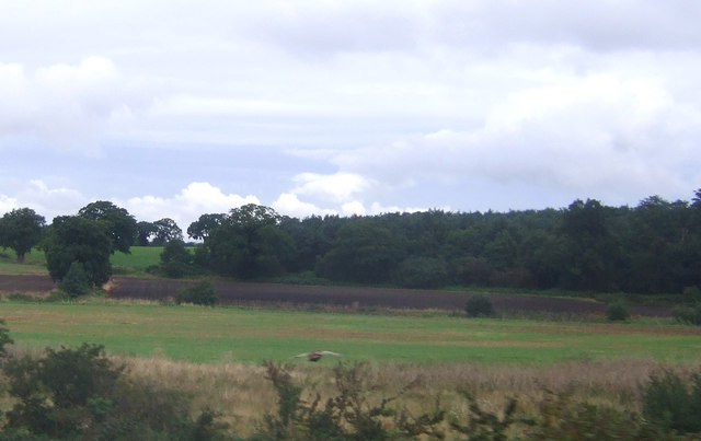
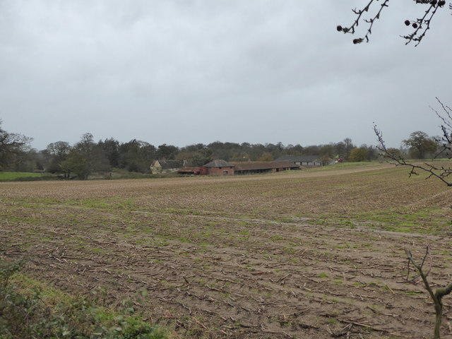
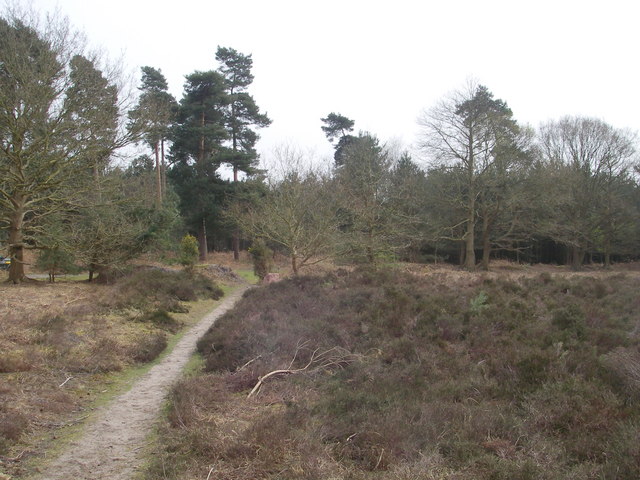
Pack Knolls is a small range of hills located in Suffolk, England. Situated in the southeastern part of the county, these hills are a popular destination for outdoor enthusiasts and nature lovers. Despite being referred to as a "mountain" in local folklore, Pack Knolls are more accurately described as a series of low-lying hills, with the highest point reaching around 100 meters (330 feet) above sea level.
The landscape of Pack Knolls is characterized by gentle slopes covered in lush greenery, offering stunning views of the surrounding countryside. The hills are predominantly composed of chalk, which gives them a distinct white appearance and contributes to the unique biodiversity found in the area.
The diverse flora and fauna of Pack Knolls make it an important site for conservation. The hills are home to a variety of plant species, including wildflowers, grasses, and small shrubs. The rich vegetation provides habitat for numerous bird species, such as skylarks and meadow pipits, as well as small mammals such as rabbits and voles.
Visitors to Pack Knolls can enjoy a range of recreational activities, including hiking, picnicking, and birdwatching. Several walking trails crisscross the hills, offering different levels of difficulty and scenic viewpoints. The tranquil and serene atmosphere of Pack Knolls makes it an ideal place for relaxation and connecting with nature.
Overall, Pack Knolls in Suffolk provides an accessible and picturesque outdoor experience, allowing visitors to appreciate the natural beauty and tranquility of the English countryside.
If you have any feedback on the listing, please let us know in the comments section below.
Pack Knolls Images
Images are sourced within 2km of 52.153936/1.4499152 or Grid Reference TM3656. Thanks to Geograph Open Source API. All images are credited.


Pack Knolls is located at Grid Ref: TM3656 (Lat: 52.153936, Lng: 1.4499152)
Administrative County: Suffolk
District: East Suffolk
Police Authority: Suffolk
What 3 Words
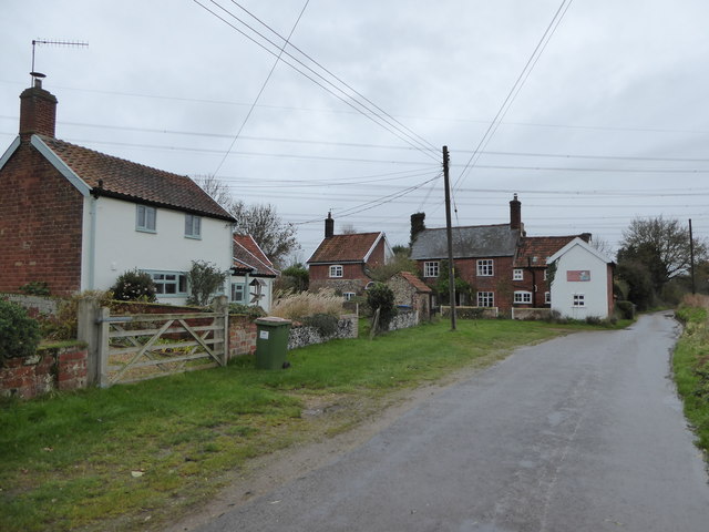
///baguette.relief.issues. Near Rendlesham, Suffolk
Nearby Locations
Related Wikis

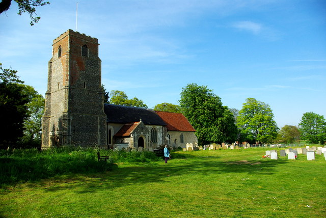
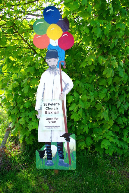
Blaxhall
Blaxhall is a village and civil parish in the East Suffolk district of the English county of Suffolk. Located around 8 miles (13 km) south-west of Leiston...

Tunstall, Suffolk
On an Ordnance Survey map of Suffolk, England, there are two settlements named Tunstall next to each other, 7.5 miles (12.1 km) north east of Woodbridge...
Blaxhall Common
Blaxhall Common is a nature reserve in the parish of Blaxhall in the East Suffolk District of Suffolk. The reserve is owned by Blaxhall Parish Council...

Tunstall Common
Tunstall Common is a 36.6 hectares (90 acres) biological Site of Special Scientific Interest east of Tunstall in Suffolk. It is part of the Sandlings Special...

Plomesgate Rural District
Plomesgate Rural District was a rural district within the administrative county of East Suffolk between 1894 and 1934. == History == The district had...

Little Glemham
Little Glemham is a small village on the A12 road, in the East Suffolk district, in the county of Suffolk, England. The population of the parish at the...

Campsea Ashe
Campsea Ashe (sometimes spelt Campsey Ash) is a village in Suffolk, England located approximately 5 miles (8 km) north east of Woodbridge and 6 miles...

RAF Bentwaters
Royal Air Force Bentwaters or more simply RAF Bentwaters, now known as Bentwaters Parks, is a former Royal Air Force station about 80 miles (130 km) northeast...
Have you been to Pack Knolls?
Leave your review of Pack Knolls below (or comments, questions and feedback).