Staner Hill

Hill, Mountain in Kent Thanet

England

Staner Hill

Restoration and extension of 100, South Eastern Road Planning permission has been granted by Thanet District Council under application number F/TH/14/0902 for the “change of use of single dwelling to 13 one and two bedroom flats together with erection of four storey side extension and five storey rear extension, with associated access, parking and landscaping”.  

Shazz’s <a href="https://www.geograph.org.uk/photo/2551821">TR3764 : Derelict house in Ramsgate</a> shows how single dwelling appeared in 2011.
Restoration and extension of 100, South Eastern Road Credit: John Baker

Staner Hill is a prominent landmark located in the county of Kent in southeastern England. It is a picturesque hill that forms part of the North Downs, a range of chalk hills that stretches across the region. Situated near the town of Hollingbourne, Staner Hill offers stunning views of the surrounding countryside.

At an elevation of approximately 192 meters (630 feet), Staner Hill is not particularly high compared to other mountains in the country. However, its strategic location on the North Downs Ridge provides visitors with an excellent vantage point to admire the rolling valleys and farmland that make up the Kentish landscape.

The hill is covered in lush grass and scattered with patches of woodland, which are home to a variety of flora and fauna. It is a popular destination for hikers, nature enthusiasts, and photographers, who are drawn to its natural beauty and tranquility.

The summit of Staner Hill is marked by a trig point, a concrete pillar often used in surveying. This serves as a landmark for visitors and provides a reference point for map reading and navigation.

Accessible by footpaths and bridleways, Staner Hill offers a range of walking and cycling opportunities for outdoor enthusiasts. It is also a great spot for picnics, allowing visitors to relax and enjoy the peaceful surroundings.

Overall, Staner Hill is a scenic and peaceful hill in Kent that attracts visitors with its stunning views, diverse wildlife, and opportunities for outdoor activities.

If you have any feedback on the listing, please let us know in the comments section below.
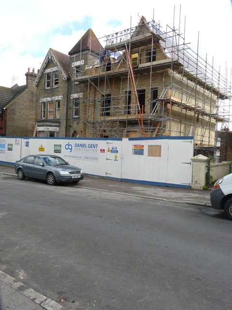
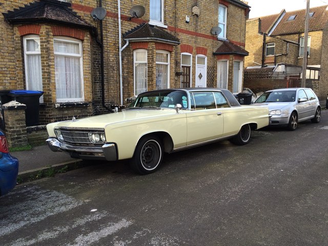
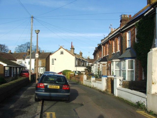
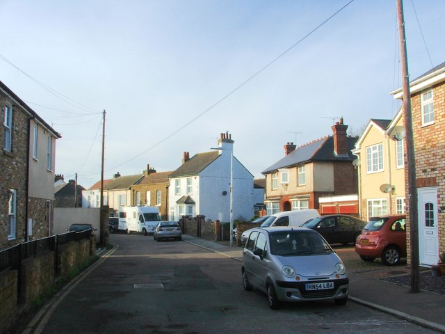
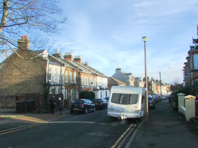
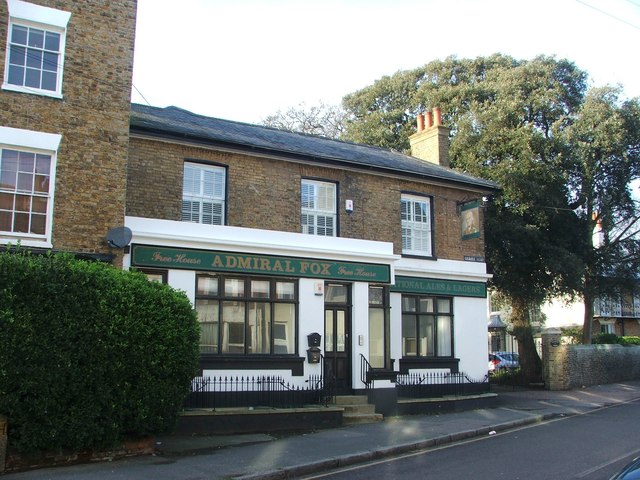
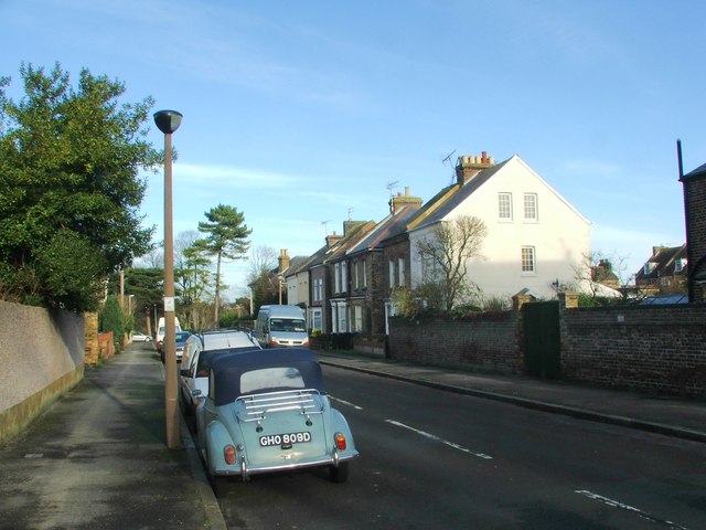
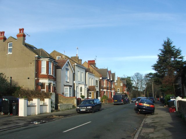
Staner Hill Images

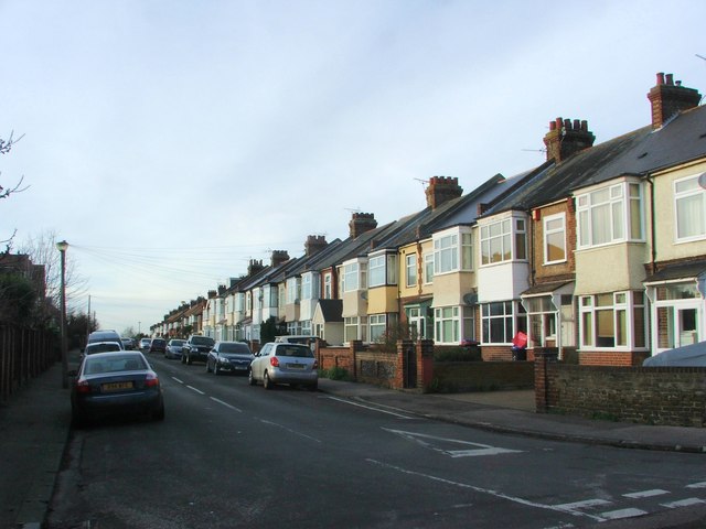
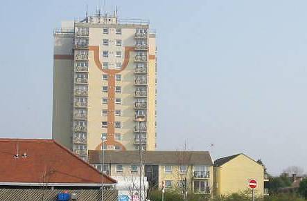
Images are sourced within 2km of 51.344088/1.3850087 or Grid Reference TR3565. Thanks to Geograph Open Source API. All images are credited.

Restoration and extension of 100, South Eastern Road Planning permission has been granted by Thanet District Council under application number F/TH/14/0902 for the “change of use of single dwelling to 13 one and two bedroom flats together with erection of four storey side extension and five storey rear extension, with associated access, parking and landscaping”.  

Shazz’s <a href="https://www.geograph.org.uk/photo/2551821">TR3764 : Derelict house in Ramsgate</a> shows how single dwelling appeared in 2011.
Restoration and extension of 100, South Eastern Road
Planning permission has been granted by Thanet District Council under application number F/TH/14/0902 for the “change of use of single dwelling to 13 one and two bedroom flats together with erection of four storey side extension and five storey rear extension, with associated access, parking and landscaping”. Shazz’s TR3764 : Derelict house in Ramsgate shows how single dwelling appeared in 2011.
Vintage 1966 Chrysler Crown Coupe, Seafield Road, Ramsgate
Chapel Road, St. Lawrence
Ashburnham Road, St. Lawrence
Crescent Road, Ramsgate
Admiral Fox, Ramsgate
Dundonald Road, Ramsgate
Picton Road, Ramsgate
Crescent Road, Ramsgate
South Eastern Road, Ramsgate
Southwood Road, Ramsgate
Lorne Road, Ramsgate
Bloomsbury Road, Ramsgate
Napleton Road, Ramsgate
Edith Road, Ramsgate
Norman Road, Ramsgate
Edith Road, Ramsgate
Show me another place!

Staner Hill is located at Grid Ref: TR3565 (Lat: 51.344088, Lng: 1.3850087)

Administrative County: Kent

District: Thanet

Police Authority: Kent

What 3 Words

///chimp.chips.colleague. Near Ramsgate, Kent

Nearby Locations

Staner Hill

Related Wikis

Newington, Thanet

Newington is a suburb in the west of the town of Ramsgate, on the eastern tip of Kent, England. == History == Ramsgate Borough Council developed the Newington...
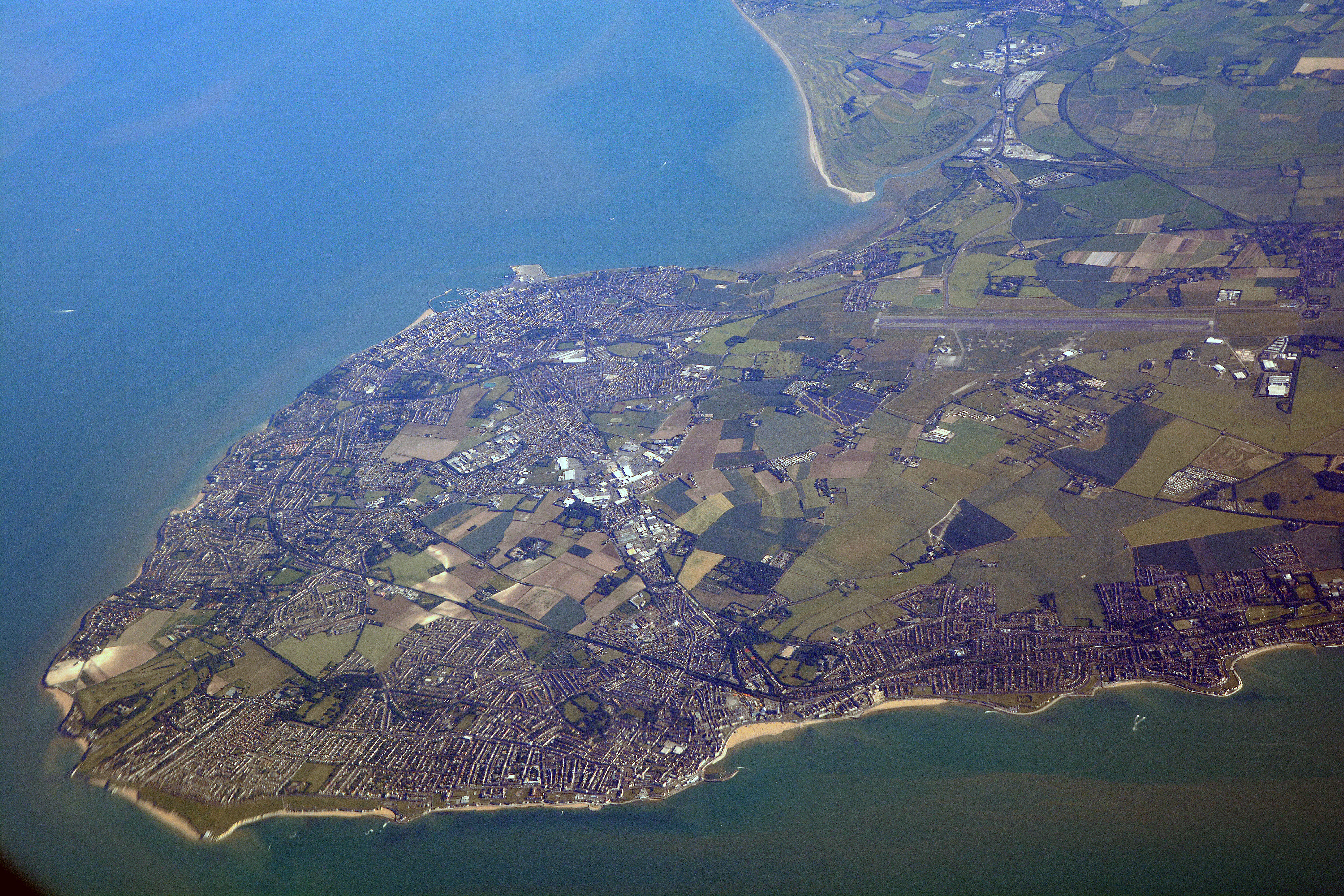
Isle of Thanet

The Isle of Thanet () is a peninsula forming the easternmost part of Kent, England. While in the past it was separated from the mainland by the 600-metre...

The Royal Harbour Academy

The Royal Harbour Academy is a coeducational secondary school and sixth form located over two sites in Ramsgate in the English county of Kent.The school...

Academy FM (Thanet)

Academy FM (Thanet) is a Charity community 24-hour local radio station based in Ramsgate, Kent, England, which broadcasts to the Isle of Thanet. It launched...

Nearby Amenities

Located within 500m of 51.344088,1.3850087
Crossing
Button Operated: yes
Crossing: traffic_signals
Crossing Island: no
Crossing Ref: toucan
Source: survey
Tactile Paving: yes
Traffic Signals Sound: yes
Traffic Signals Vibration: yes
Lat/Long: 51.3484508/1.3858612
Crossing
Crossing: unmarked
Crossing Island: yes
Tactile Paving: yes
Lat/Long: 51.3474171/1.3854803
Crossing
Crossing: unmarked
Crossing Island: no
Tactile Paving: yes
Lat/Long: 51.3475032/1.3857509
Traffic Calming: hump
Lat/Long: 51.3429791/1.390492
Traffic Calming: cushion;choker
Lat/Long: 51.3472823/1.3866122
Bus Stop
The Centre
Bench: yes
Local Ref: W-bound
Naptan AtcoCode: 2400100396
Naptan Bearing: W
Naptan BusStopType: MKD
Naptan CommonName: The Centre
Naptan Indicator: W-bound
Naptan Landmark: Princess Margaret Avenue
Naptan NaptanCode: kntgptwj
Naptan PlusbusZoneRef: THANET
Naptan RevisionNumber: 5
Naptan Status: act
Naptan Street: St John's Avenue
Naptan Verified: no
Public Transport: platform
Ref: kntgptwj
Shelter: yes
Source: naptan_import
Source Date: 2018-11-12
Tactile Paving: no
Lat/Long: 51.3459394/1.3915721
Bus Stop
Manston Road Tesco
Bench: yes
Departures Board: timetable
Flag: no
Local Ref: o/s
Naptan AtcoCode: 2400A046400A
Naptan Bearing: NE
Naptan BusStopType: MKD
Naptan CommonName: Manston Road Tesco
Naptan Indicator: o/s
Naptan Landmark: Tesco Superstore
Naptan NaptanCode: kntdwmjm
Naptan PlusbusZoneRef: THANET
Naptan RevisionNumber: 6
Naptan Status: act
Naptan Street: Tesco Grounds
Naptan Verified: no
Passenger Information Display: no
Pole: no
Public Transport: platform
Ref: kntdwmjm
Shelter: yes
Source: naptan_import
Source Date: 2018-11-12
Tactile Paving: no
Lat/Long: 51.3406787/1.3894249
Bus Stop
Quetta Road
Bench: no
Local Ref: adj
Naptan AtcoCode: 2400A046500A
Naptan Bearing: SE
Naptan BusStopType: MKD
Naptan CommonName: Quetta Road
Naptan Indicator: adj
Naptan Landmark: Quetta Road
Naptan NaptanCode: kntdwmpw
Naptan PlusbusZoneRef: THANET
Naptan RevisionNumber: 2
Naptan Status: act
Naptan Street: St John's Avenue
Naptan Verified: no
Public Transport: platform
Ref: kntdwmpw
Shelter: no
Source: naptan_import
Source Date: 2018-11-12
Tactile Paving: no
Lat/Long: 51.347044/1.3869608
Bus Stop
Hobart Road
Bench: no
Local Ref: adj
Naptan AtcoCode: 2400A046510A
Naptan Bearing: SE
Naptan BusStopType: MKD
Naptan CommonName: Hobart Road
Naptan Indicator: adj
Naptan Landmark: Hobart Road
Naptan NaptanCode: kntdwmta
Naptan PlusbusZoneRef: THANET
Naptan RevisionNumber: 3
Naptan Status: act
Naptan Street: St John's Avenue
Naptan Verified: no
Public Transport: platform
Ref: kntdwmta
Shelter: no
Source: naptan_import
Source Date: 2018-11-12
Tactile Paving: no
Lat/Long: 51.3462557/1.3893888
Bus Stop
Hobart Road
Bench: no
Local Ref: opp
Naptan AtcoCode: 2400A046520A
Naptan Bearing: NW
Naptan BusStopType: MKD
Naptan CommonName: Hobart Road
Naptan Indicator: opp
Naptan Landmark: Hobart Road
Naptan NaptanCode: kntdwmtd
Naptan PlusbusZoneRef: THANET
Naptan RevisionNumber: 3
Naptan Status: act
Naptan Street: St John's Avenue
Naptan Verified: no
Public Transport: platform
Ref: kntdwmtd
Shelter: no
Source: naptan_import
Source Date: 2018-11-12
Tactile Paving: no
Lat/Long: 51.3463595/1.3888154
Bus Stop
Quetta Road
Bench: no
Local Ref: opp
Naptan AtcoCode: 2400A046530A
Naptan Bearing: NW
Naptan BusStopType: MKD
Naptan CommonName: Quetta Road
Naptan Indicator: opp
Naptan Landmark: Quetta Road
Naptan NaptanCode: kntdwmtg
Naptan PlusbusZoneRef: THANET
Naptan RevisionNumber: 2
Naptan Status: act
Naptan Street: St John's Avenue
Naptan Verified: no
Public Transport: platform
Ref: kntdwmtg
Shelter: no
Source: naptan_import
Source Date: 2018-11-12
Tactile Paving: no
Lat/Long: 51.3470987/1.3865195
Traffic Calming: cushion
Lat/Long: 51.3470532/1.3868078
Traffic Calming: cushion
Lat/Long: 51.3463005/1.3891539
Traffic Calming: cushion
Lat/Long: 51.3459841/1.3908677
Traffic Calming: hump
Lat/Long: 51.3426796/1.3912627
Traffic Calming: hump
Lat/Long: 51.3443512/1.3907254
Traffic Calming: hump
Lat/Long: 51.3479989/1.3873271
Traffic Calming: hump
Lat/Long: 51.3454802/1.3906402
Traffic Calming: hump
Lat/Long: 51.3463437/1.389718
Traffic Calming: hump
Lat/Long: 51.34488/1.3906828
Check Date: 2021-06-23
Traffic Calming: cushion;choker
Lat/Long: 51.3448702/1.3916985
Traffic Calming: cushion
Lat/Long: 51.3467962/1.3876089
Traffic Calming: hump
Lat/Long: 51.3467505/1.3897415
Check Date: 2021-06-23
Traffic Calming: cushion;choker
Lat/Long: 51.3442619/1.3917439
Traffic Calming: hump
Lat/Long: 51.3434862/1.3899616
Traffic Calming: cushion
Lat/Long: 51.3472848/1.3860784
Traffic Calming: hump
Lat/Long: 51.3480153/1.3881319
Traffic Calming: cushion
Lat/Long: 51.3465624/1.3883377
Traffic Calming: cushion
Lat/Long: 51.346007/1.3900378
Check Date: 2021-06-23
Traffic Calming: hump
Lat/Long: 51.3455214/1.3916415
Traffic Calming: hump
Lat/Long: 51.3458946/1.3906107
Check Date: 2021-06-23
Traffic Calming: cushion;choker
Lat/Long: 51.3437379/1.3917754
Traffic Calming: hump
Lat/Long: 51.3473365/1.3897047
Traffic Calming: cushion;choker
Lat/Long: 51.3478854/1.3869569
Traffic Calming: cushion;choker
Lat/Long: 51.3438977/1.3920877
Traffic Calming: cushion;choker
Lat/Long: 51.3443763/1.3920446
Traffic Calming: cushion;choker
Lat/Long: 51.3448206/1.392013
Traffic Calming: hump
Lat/Long: 51.3439424/1.3895555
Traffic Calming: hump
Lat/Long: 51.3444736/1.3894906
Traffic Calming: hump
Lat/Long: 51.344983/1.3894547
Traffic Calming: hump
Lat/Long: 51.3455304/1.3895016
Traffic Calming: hump
Lat/Long: 51.3459578/1.3897574
Traffic Calming: choked_cushion
Lat/Long: 51.3477298/1.3858305
Crossing
Crossing: unmarked
Crossing Island: yes
Crossing Ref: island
Tactile Paving: yes
Lat/Long: 51.3480251/1.3859534
Traffic Calming: choked_cushion
Lat/Long: 51.3483292/1.3860881
Check Date: 2021-06-23
Traffic Calming: cushion
Lat/Long: 51.3431182/1.3919797
Power: pole
Lat/Long: 51.3406172/1.3820026
Power: pole
Lat/Long: 51.3399109/1.382885
Barrier: bollard
Lat/Long: 51.3413908/1.3894045
Bicycle Parking
Bicycle Parking: stands
Capacity: 6
Check Date Capacity: 2020-12-05
Covered: no
Cyclestreets Id: 46444
Lat/Long: 51.3428298/1.3916943
Crossing
Crossing: unmarked
Tactile Paving: yes
Lat/Long: 51.3408033/1.3896596
Crossing
Crossing: unmarked
Tactile Paving: yes
Lat/Long: 51.3407761/1.3897757
Generator Method: photovoltaic
Generator Output Electricity: yes
Generator Source: solar
Generator Type: solar_photovoltaic_panel
Location: roof
Power: generator
Lat/Long: 51.3466993/1.3873565
Generator Method: photovoltaic
Generator Output Electricity: yes
Generator Source: solar
Generator Type: solar_photovoltaic_panel
Location: roof
Power: generator
Lat/Long: 51.3467093/1.3874289
Post Box
Collection Times: Mo-Fr 09:15; Sa 07:15
Ref: CT12 29
Royal Cypher: EIIR
Royal Cypher Wikidata: Q33102113
Lat/Long: 51.3483871/1.3859624
Crossing
Crossing: unmarked
Crossing Island: no
Lat/Long: 51.3457218/1.3915184
Crossing
Crossing: unmarked
Crossing Island: no
Tactile Paving: yes
Lat/Long: 51.3459239/1.3912638
Restaurant
The Tenth
Addr City: Manston
Addr Postcode: CT12 5BE
Addr Street: Manston Road
Fhrs Id: 962411
Source: FHRS Open Data
Lat/Long: 51.3455288/1.3804779
Hornets Boxing Club
Addr City: Ramsgate
Addr Country: GB
Addr County: Kent
Addr District: Thanet
Addr Housenumber: 18
Addr Postcode: CT12 5EU
Addr Street: Leigh Road
Contact Facebook: https://www.facebook.com/boxinghornets
Email: the-hornet-boxing-club@hotmail.com
Mobile: +44 7815 002220
Opening Hours: Mo-Fr 10:00-14:00
Service Times: Mo 16:30-17:15,17:30-18:30,18:30-19:30,19:15-21:00; Tu 19:00-20:00; We 16:30-17:15, 17:30-18:30, 18:30-19:30, 19:15-21:00; Th 18:00-19:00, 19:00-20:00; Fr 17:30-18:30, 18:30-19:30, 19:15-21:00
Sport: boxing
Website: https://hornetsboxing.wixsite.com/hornetsboxingacademy
Lat/Long: 51.345212/1.387698
Car Wash
Waves
Automated: no
Brand: Waves
Opening Hours Covid19: off
Operator: Tesco
Self Service: no
Lat/Long: 51.3407381/1.3892904
Bus Stop
Stirling Way
Bench: no
Bin: no
Flag: yes
Lit: no
Local Ref: opp
Naptan AtcoCode: 2400104585
Naptan Bearing: N
Naptan BusStopType: MKD
Naptan CommonName: Stirling Way
Naptan Indicator: opp
Naptan Landmark: Stirling Way
Naptan NaptanCode: kntjpgjd
Naptan RevisionNumber: 0
Naptan Status: act
Naptan Street: Haine Road
Naptan Verified: no
Public Transport: platform
Ref: kntjpgjd
Shelter: no
Source: naptan_import
Source Date: 2011-08-23
Tactile Paving: no
Lat/Long: 51.3480743/1.3856269
Bus Stop
Stirling Way
Bench: no
Flag: no
Local Ref: adj
Naptan AtcoCode: 2400104583
Naptan Bearing: S
Naptan BusStopType: CUS
Naptan CommonName: Stirling Way
Naptan Indicator: adj
Naptan Landmark: Stirling Way
Naptan NaptanCode: kntjpgja
Naptan RevisionNumber: 1
Naptan Status: act
Naptan Street: Haine Road
Naptan Verified: no
Public Transport: platform
Ref: kntjpgja
Shelter: no
Source: naptan_import
Source Date: 2018-04-27
Tactile Paving: no
Lat/Long: 51.3478485/1.3856739
Bus Stop
Meridian Close
Local Ref: adj
Naptan AtcoCode: 2400106262
Naptan Bearing: SE
Naptan BusStopType: MKD
Naptan CommonName: Meridian Close
Naptan Indicator: adj
Naptan Landmark: Meridian Close
Naptan NaptanCode: kntjtmdj
Naptan RevisionNumber: 1
Naptan Status: act
Naptan Street: Manston Road
Naptan Verified: no
Public Transport: platform
Ref: kntjtmdj
Source: naptan_import
Source Date: 2018-11-12
Lat/Long: 51.3420073/1.3881174
Bus Stop
Meridian Close
Local Ref: opp
Naptan AtcoCode: 2400106260
Naptan Bearing: NW
Naptan BusStopType: MKD
Naptan CommonName: Meridian Close
Naptan Indicator: opp
Naptan Landmark: Meridian Close
Naptan NaptanCode: kntjtmdg
Naptan RevisionNumber: 1
Naptan Status: act
Naptan Street: Manston Road
Naptan Verified: no
Public Transport: platform
Ref: kntjtmdg
Source: naptan_import
Source Date: 2018-11-12
Lat/Long: 51.3420074/1.3879263
E
Artwork Type: sculpture
Tourism: artwork
Lat/Long: 51.3435612/1.3818285
R
Artwork Type: sculpture
Tourism: artwork
Lat/Long: 51.3435628/1.3817897
U
Artwork Type: sculpture
Tourism: artwork
Lat/Long: 51.3435644/1.3817509
T
Artwork Type: sculpture
Tourism: artwork
Lat/Long: 51.343566/1.3817121
N
Artwork Type: sculpture
Tourism: artwork
Lat/Long: 51.3435675/1.3816733
E
Artwork Type: sculpture
Tourism: artwork
Lat/Long: 51.3435691/1.3816345
V
Artwork Type: sculpture
Tourism: artwork
Lat/Long: 51.3435707/1.3815957
D
Artwork Type: sculpture
Tourism: artwork
Lat/Long: 51.3435723/1.3815569
A
Artwork Type: sculpture
Tourism: artwork
Lat/Long: 51.3435739/1.3815181
Leisure: playground
Lat/Long: 51.3456388/1.3842432
The data included in this document is from www.openstreetmap.org. The data is made available under ODbL.

Have you been to Staner Hill?

Leave your review of Staner Hill below (or comments, questions and feedback).