Baker's Hill
Hill, Mountain in Suffolk East Suffolk
England
Baker's Hill
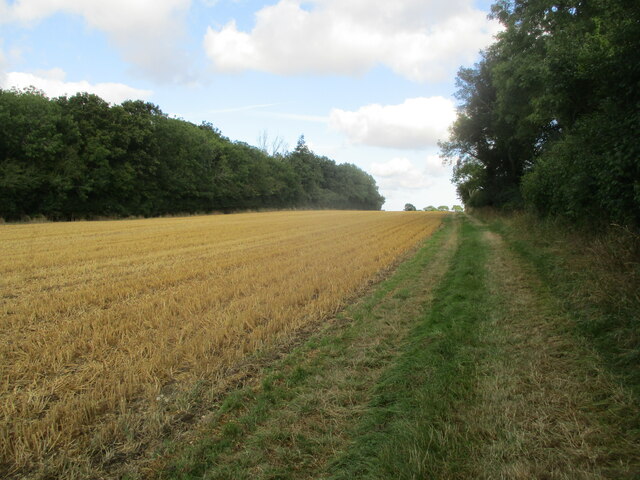
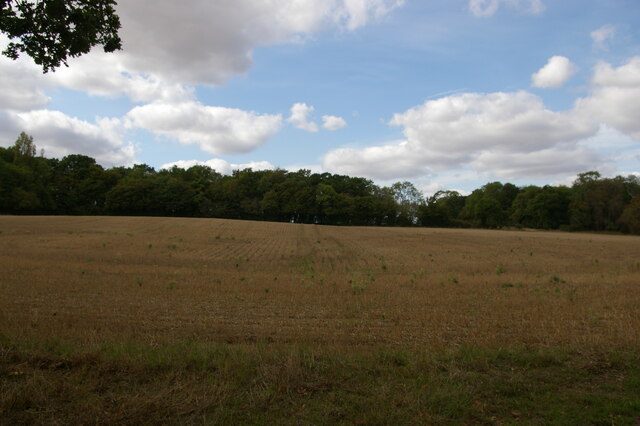
Baker's Hill is a small hill located in the county of Suffolk, England. It is situated in the eastern part of the county, near the town of Framlingham. With an elevation of approximately 100 meters (328 feet), Baker's Hill is considered a modest hill in comparison to the surrounding landscape.
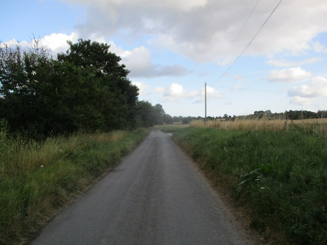
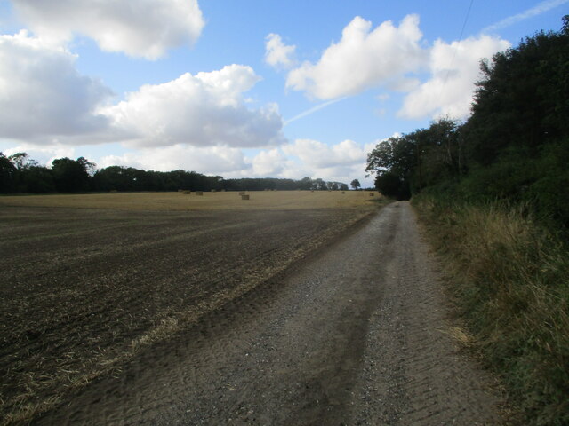
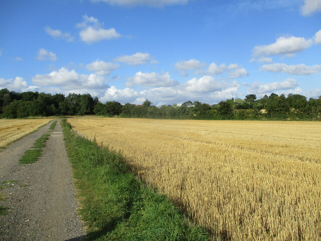
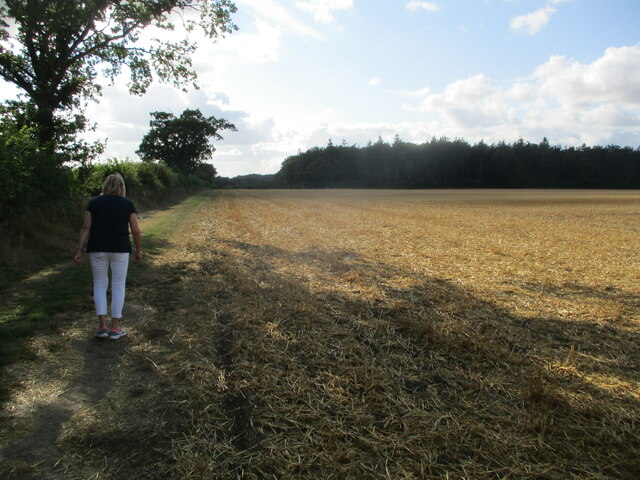
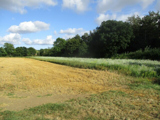
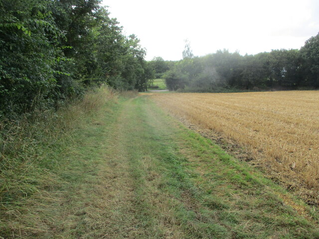
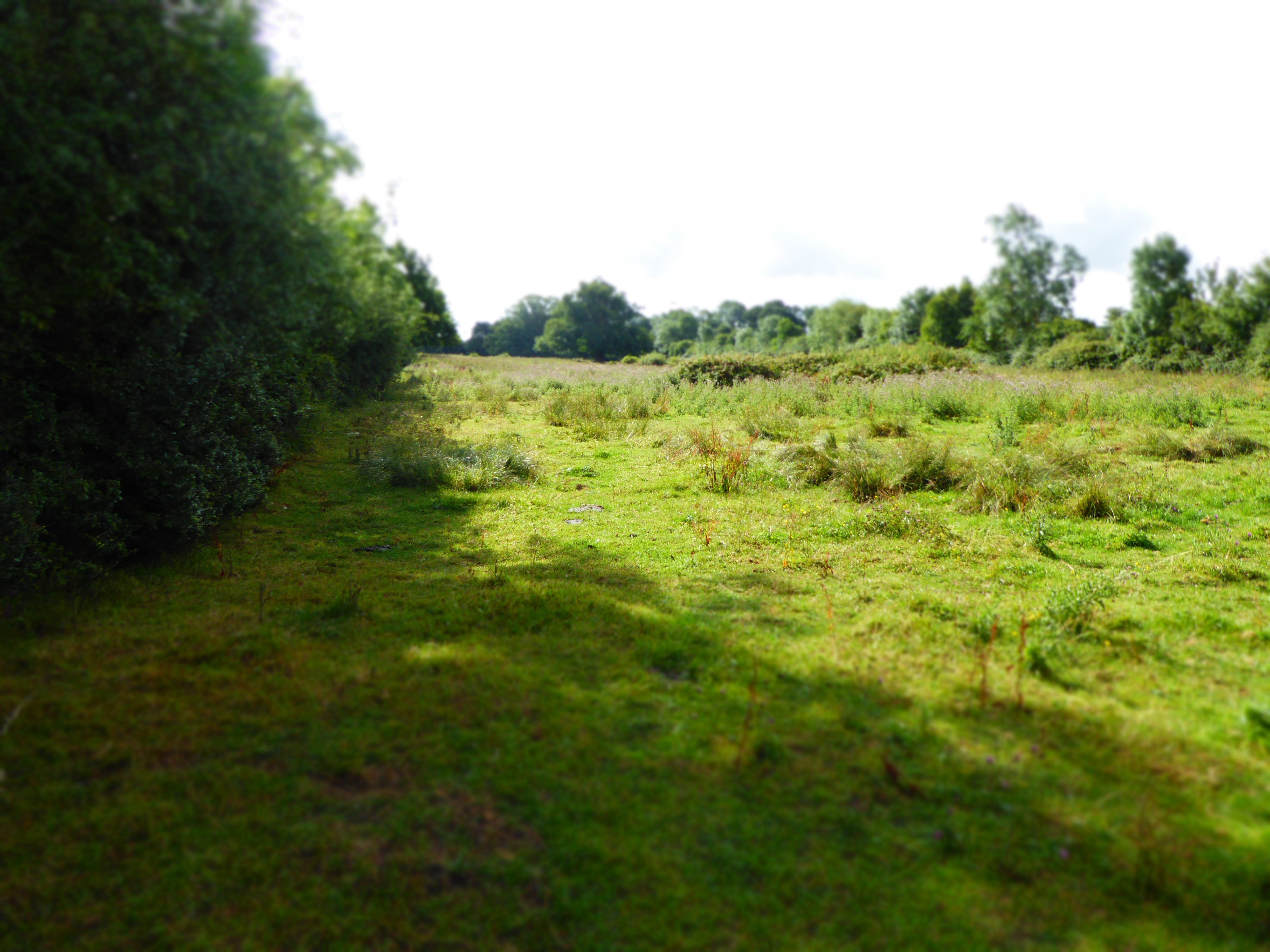
The hill is characterized by its gentle slopes, covered in lush green grass and scattered with wildflowers during the summer months. It offers a picturesque view of the surrounding countryside, with rolling fields and quaint villages in the distance. The area is popular among hikers and nature enthusiasts, who enjoy the peaceful and idyllic atmosphere of Baker's Hill.
The name "Baker's Hill" is believed to have originated from its historical association with baking or the baking industry. However, the exact origin of the name remains uncertain. Over the years, the hill has become a local landmark and a favorite spot for picnics, leisurely walks, and outdoor activities.
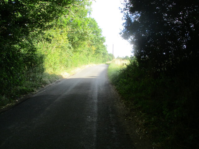
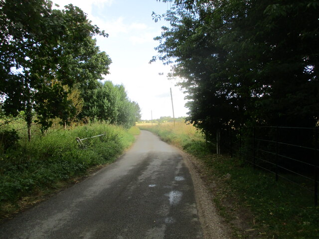
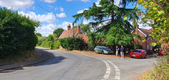
The hill's location near Framlingham provides visitors with the opportunity to explore the nearby historic market town, known for its medieval castle and charming streets lined with traditional timber-framed houses. Additionally, the surrounding area offers various walking and cycling routes, allowing visitors to further explore the natural beauty of Suffolk.
Overall, Baker's Hill in Suffolk is a serene and scenic location, perfect for those seeking a peaceful retreat in the heart of the English countryside.
If you have any feedback on the listing, please let us know in the comments section below.
Baker's Hill Images
Images are sourced within 2km of 52.221365/1.4247114 or Grid Reference TM3463. Thanks to Geograph Open Source API. All images are credited.


Baker's Hill is located at Grid Ref: TM3463 (Lat: 52.221365, Lng: 1.4247114)
Administrative County: Suffolk
District: East Suffolk
Police Authority: Suffolk
What 3 Words
///timidly.innovate.book. Near Saxmundham, Suffolk
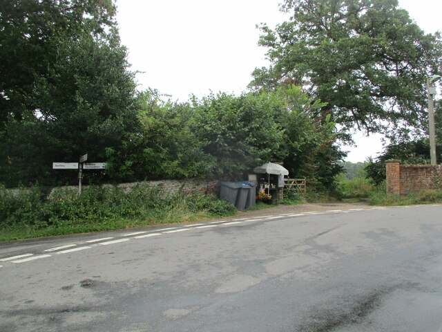
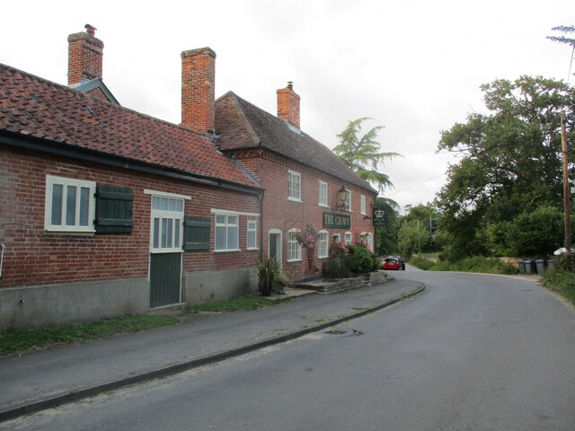
Nearby Locations
Related Wikis

Sweffling
Sweffling is a village and a civil parish in the East Suffolk district, in the county of Suffolk, England. Nearby settlements include the town of Saxmundham...

Norwich Crag Formation
The Norwich Crag Formation is a stratigraphic unit of the British Pleistocene Epoch. It is the second youngest unit of the Crag Group, a sequence of four...

Rendham
Rendham is a village and civil parish on the B1119 road, in the East Suffolk district, in the English county of Suffolk. It is near the town Saxmundham...
Cransford Meadow
Cransford Meadow is a 4.6-hectare (11-acre) biological Site of Special Scientific Interest south of Cransford in Suffolk.This unimproved grassland site...

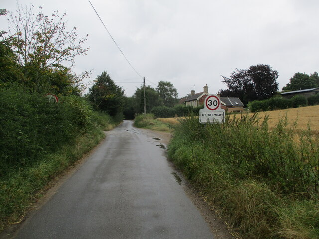
Great Glemham
Great Glemham is a village and civil parish in the East Suffolk district, England, a mile and a half to the west of the A12 and roughly equidistant between...

Cransford
Cransford is a village and a civil parish in the East Suffolk district, in the English county of Suffolk. The civil parish had a population at the 2011...

Bruisyard Abbey
The Abbey of Bruisyard was a house of Minoresses (Poor Clares) at Bruisyard in Suffolk. It was founded from Campsey Priory in Suffolk on the initiative...
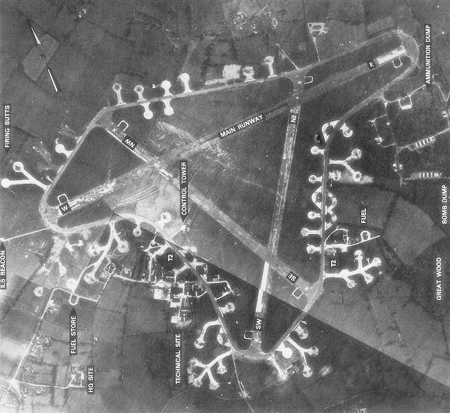
RAF Framlingham
Royal Air Force Framlingham or more simply RAF Framlingham is a former Royal Air Force station located 3 miles (4.8 km) southeast of Framlingham, Suffolk...
Nearby Amenities
Located within 500m of 52.221365,1.4247114Have you been to Baker's Hill?
Leave your review of Baker's Hill below (or comments, questions and feedback).