Clapper Hill
Hill, Mountain in Kent Thanet
England
Clapper Hill
Clapper Hill is a prominent hill located in the county of Kent, England. Situated in the southeastern part of the country, the hill is part of the North Downs, a range of chalk hills that stretch across the region. Clapper Hill is situated near the village of Hollingbourne, approximately 5 miles east of the town of Maidstone.
Standing at an elevation of around 150 meters (500 feet), Clapper Hill offers breathtaking panoramic views of the surrounding countryside. The hill is covered in lush green vegetation, with grassy slopes that gently ascend towards its summit. It is a popular spot for hikers, nature enthusiasts, and photographers, who are drawn to its natural beauty and peaceful ambiance.
The name "Clapper Hill" is believed to originate from the Old English word "cleaca," meaning "clay." This suggests that clay was once abundant in the area, although there is little evidence of this today. The hill is also home to a variety of wildlife, including rabbits, foxes, and various bird species.
At the foot of Clapper Hill, there is a network of footpaths that wind through the surrounding countryside, offering visitors the opportunity to explore the area further. Additionally, the nearby village of Hollingbourne provides amenities such as pubs, cafes, and accommodation for those looking to make a day trip or stay longer to explore the region.
Overall, Clapper Hill is a picturesque and tranquil spot in the heart of Kent, offering visitors a chance to immerse themselves in the natural beauty of the North Downs and enjoy stunning views of the surrounding landscape.
If you have any feedback on the listing, please let us know in the comments section below.
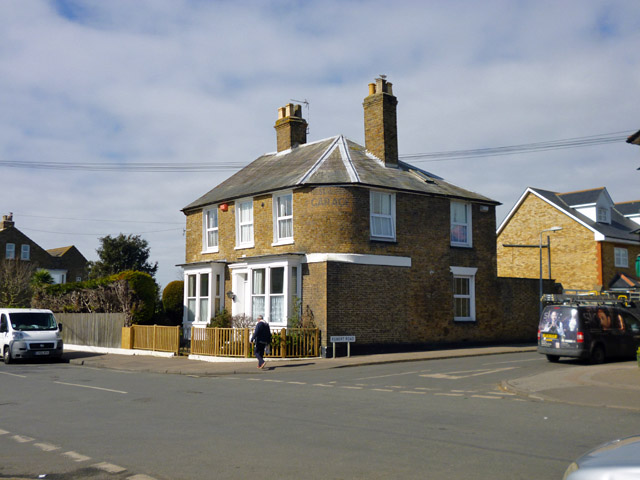
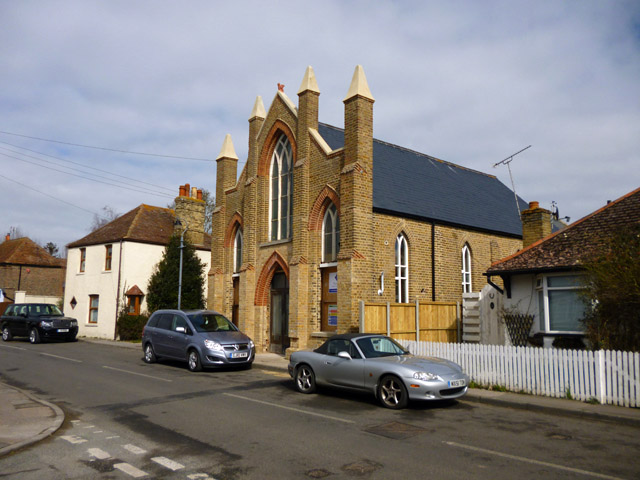
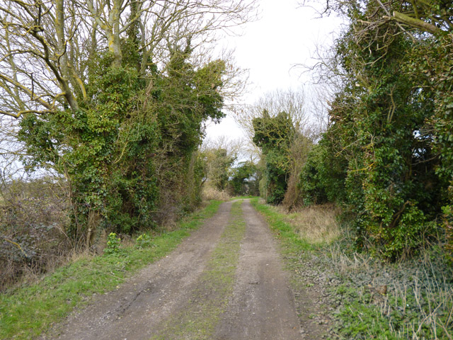
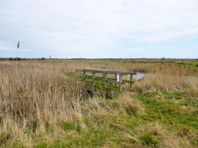
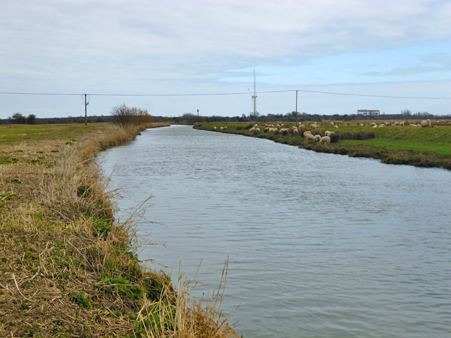
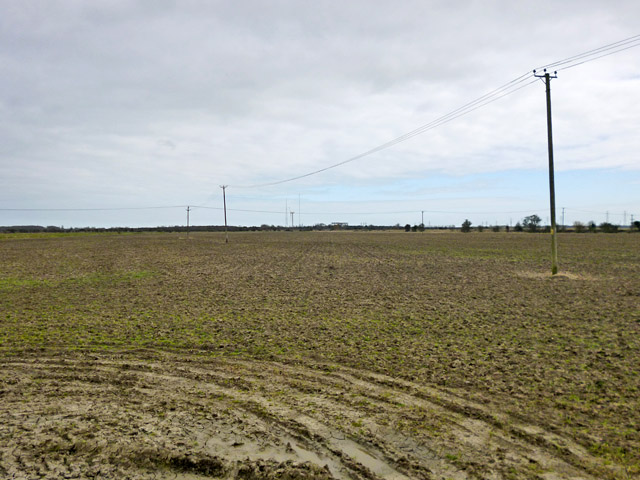
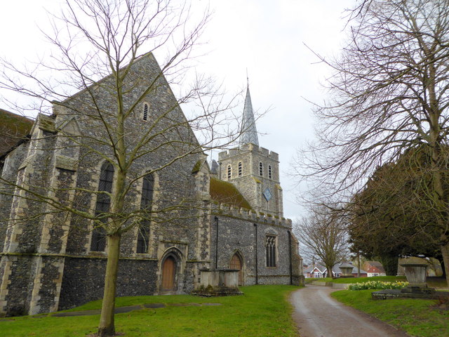
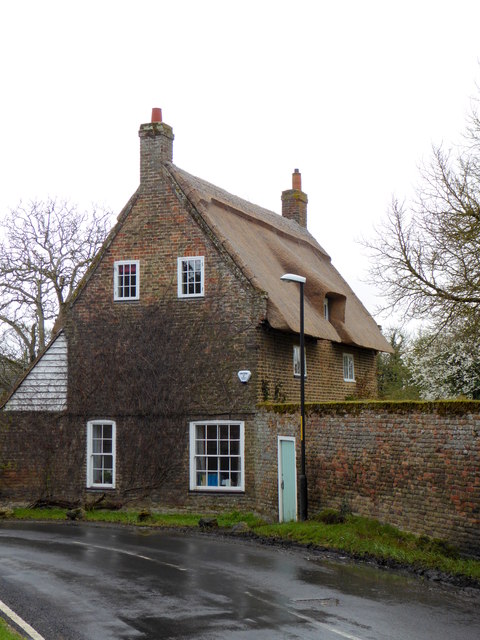
Clapper Hill Images
Images are sourced within 2km of 51.326406/1.3294356 or Grid Reference TR3263. Thanks to Geograph Open Source API. All images are credited.

Clapper Hill is located at Grid Ref: TR3263 (Lat: 51.326406, Lng: 1.3294356)
Administrative County: Kent
District: Thanet
Police Authority: Kent
What 3 Words
///daunting.stubbed.continued. Near Birchington-on-Sea, Kent
Nearby Locations
Related Wikis

Minster railway station
Minster railway station serves the village of Minster in Kent and surrounding villages. It is next to a junction between Canterbury West, Ramsgate and...
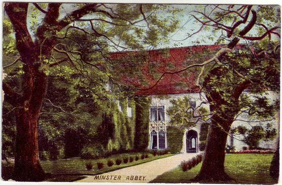
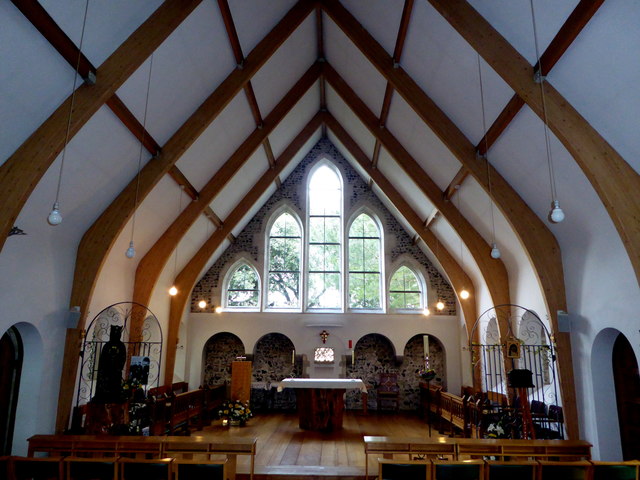
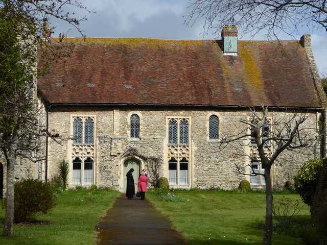
Minster in Thanet Priory
Minster Abbey is the name of two abbeys in Minster-in-Thanet, Kent, England. The first was a 7th-century foundation which lasted until the Dissolution...

Sevenscore
Sevenscore is a hamlet on the B2048 secondary road about one mile (1.6 km) east of Minster-in-Thanet in Kent, England. It is in the civil parish of Minster...
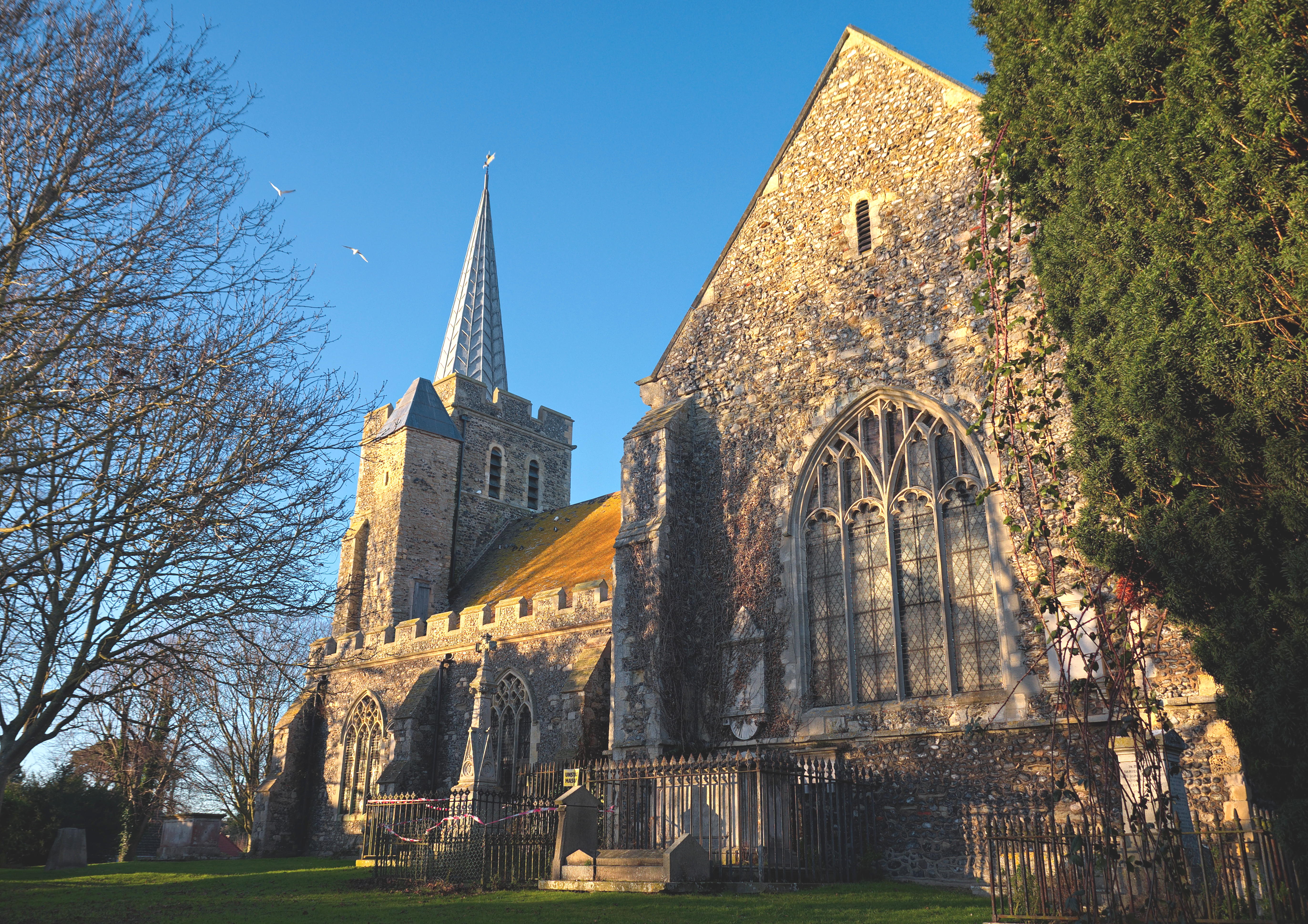
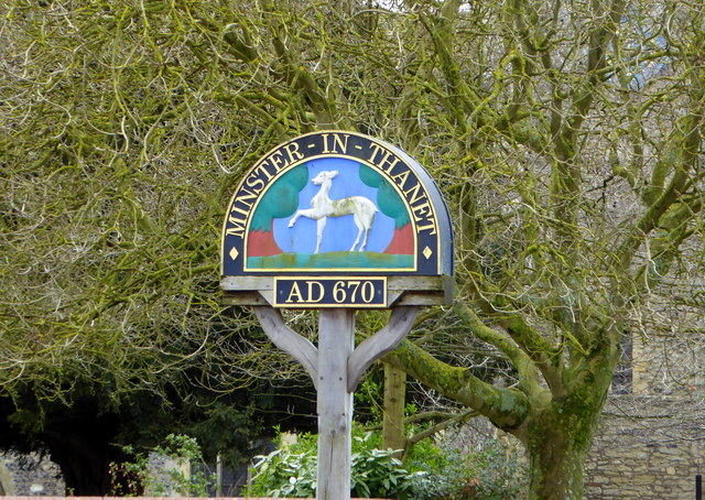
Minster-in-Thanet
Minster, also known as Minster-in-Thanet, is a village and civil parish in the Thanet District of Kent, England. It is the site of Minster in Thanet Priory...

Ebbsfleet and Cliffsend Halt railway station
Ebbsfleet and Cliffsend Halt railway station served the hamlet of Ebbsfleet, Thanet, Kent, England from 1908 to 1933 on the Kent Coast Line. == History... ==

Ebbsfleet, Thanet
Ebbsfleet is a hamlet near Ramsgate, Kent, at the head of Pegwell Bay. Historically it was a peninsula on the southern coast of the Isle of Thanet, marking...
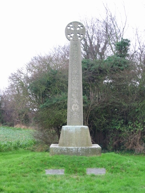
St Augustine's Cross
St Augustine's Cross is a stone memorial in Kent, in a fenced enclosure on the south side of Cottington Road, west of Cliffs End, at Pegwell Bay, Thanet...
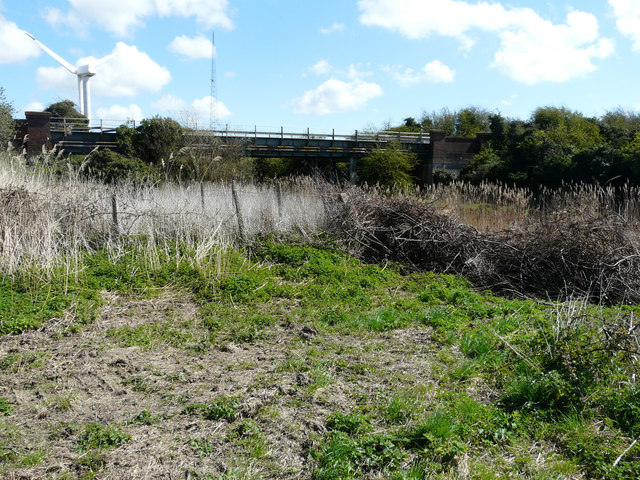
Richborough Energy Park
Richborough Energy Park is a site of non-traditional power generation, on the site of the former Richborough power station close to the mouth of the River...
Related Videos

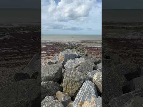
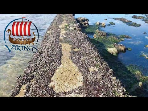
Tu przypływali Vikingowie,Witamy w Margate, Kent, Anglia, UK, Plaża, Viking Coastal Trial, part 2
Margate – miasto w Wielkiej Brytanii, w Anglii w hrabstwie Kent nad Morzem Północnym. W mieście mieszka około 57 tys. Z uwagi ...

Cycling the Viking Coastal Trail as a beginner - Ramsgate to Herne Bay
I'm Hazel Brown and this is my first ever vlog for Hazel Expl0res. I'm a beginner cyclist and was joined by my friend V on a cycling ...
Nearby Amenities
Located within 500m of 51.326406,1.3294356Have you been to Clapper Hill?
Leave your review of Clapper Hill below (or comments, questions and feedback).