Antingham Hill
Hill, Mountain in Norfolk North Norfolk
England
Antingham Hill
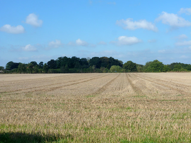
Antingham Hill, located in the county of Norfolk, England, is a prominent natural landmark in the region. While it is referred to as a hill, it is worth noting that Norfolk is known for its flat landscape, and what may be considered a hill in this context might not match the traditional definition of a hill elsewhere. Nonetheless, Antingham Hill stands out as one of the few elevated areas in the county.
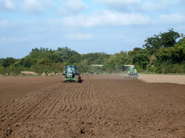
The hill is situated in the village of Antingham, near the market town of North Walsham. It is comprised of a gentle slope that rises approximately 50 meters above sea level. The surrounding area is predominantly agricultural, with fields and farmland stretching out in all directions from the hill.
Antingham Hill offers beautiful panoramic views of the Norfolk countryside, allowing visitors to appreciate the vast open spaces and the patchwork of fields that characterize the region. While it may not be a challenging climb, the hill provides a pleasant vantage point for those looking to enjoy a leisurely walk or hike.
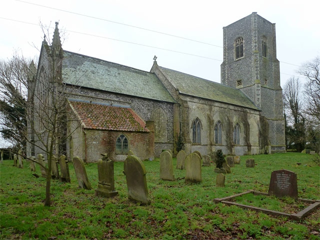
The area surrounding Antingham Hill is also rich in historical significance. There are several ancient burial mounds and archaeological remains in the vicinity, indicating human activity in the area dating back thousands of years.
Overall, Antingham Hill provides a picturesque and tranquil setting, offering a refreshing change of scenery from the otherwise flat landscape of Norfolk. It serves as a reminder of the diverse natural beauty that can be found within the county.
If you have any feedback on the listing, please let us know in the comments section below.
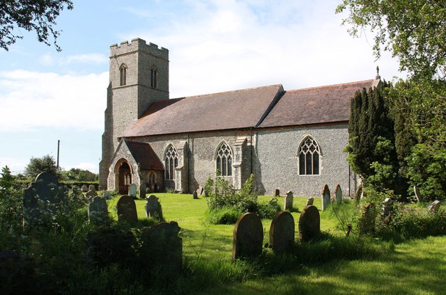
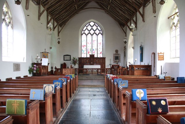
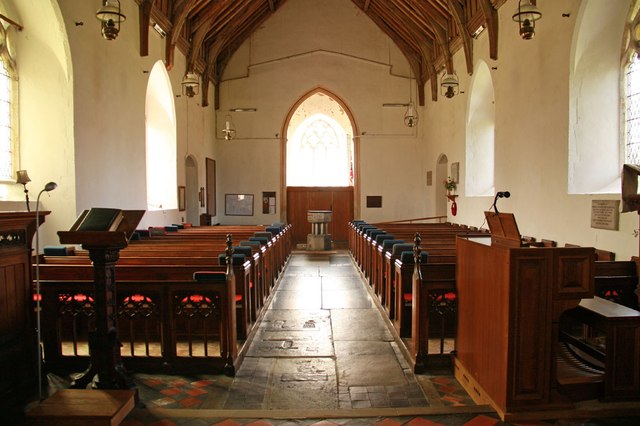
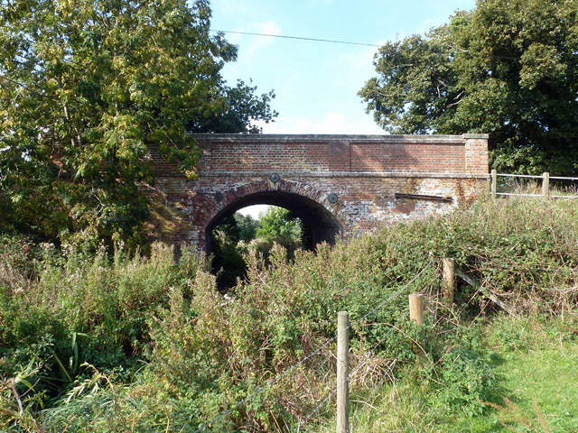
Antingham Hill Images
Images are sourced within 2km of 52.841739/1.3545138 or Grid Reference TG2632. Thanks to Geograph Open Source API. All images are credited.


Antingham Hill is located at Grid Ref: TG2632 (Lat: 52.841739, Lng: 1.3545138)
Administrative County: Norfolk
District: North Norfolk
Police Authority: Norfolk
What 3 Words
///caused.voters.wolf. Near North Walsham, Norfolk
Nearby Locations
Related Wikis

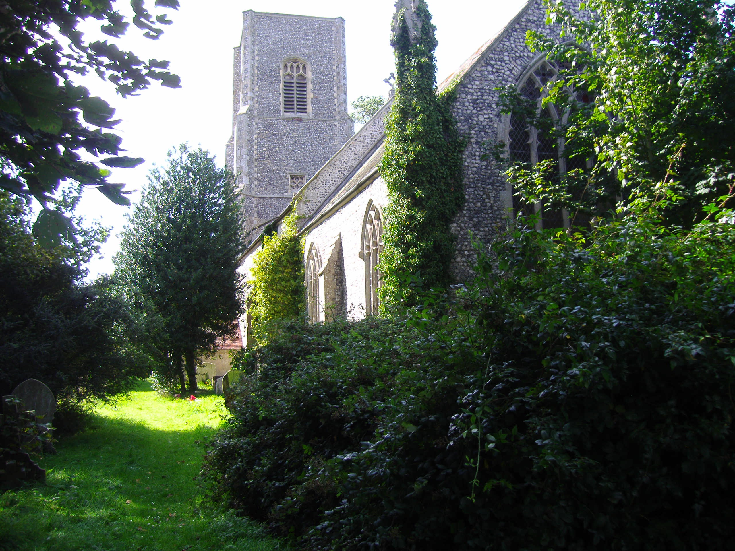
Antingham
Antingham is a village and civil parish in the north of the English county of Norfolk. The village is located about 6 miles (9.7 km) south of Cromer and...
Bradfield, Norfolk
Bradfield is a village and former civil parish, now in the parish of Swafield, in the North Norfolk district, in the county of Norfolk, England. The village...
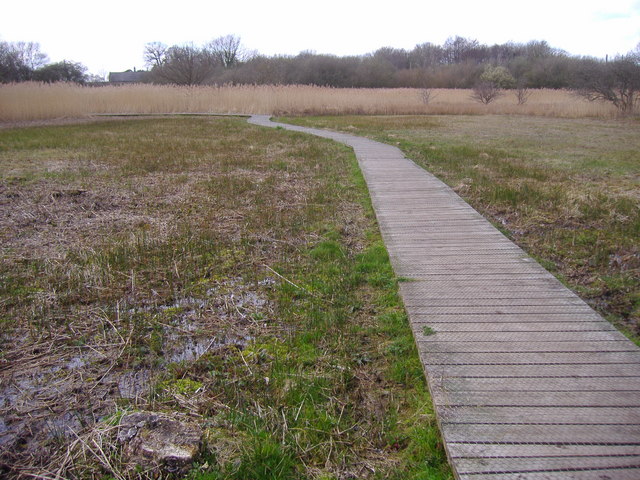
Southrepps Common
Southrepps Common is a 5.6-hectare (14-acre) biological Site of Special Scientific Interest north of North Walsham in Norfolk. A larger area of 12.9-hectare...
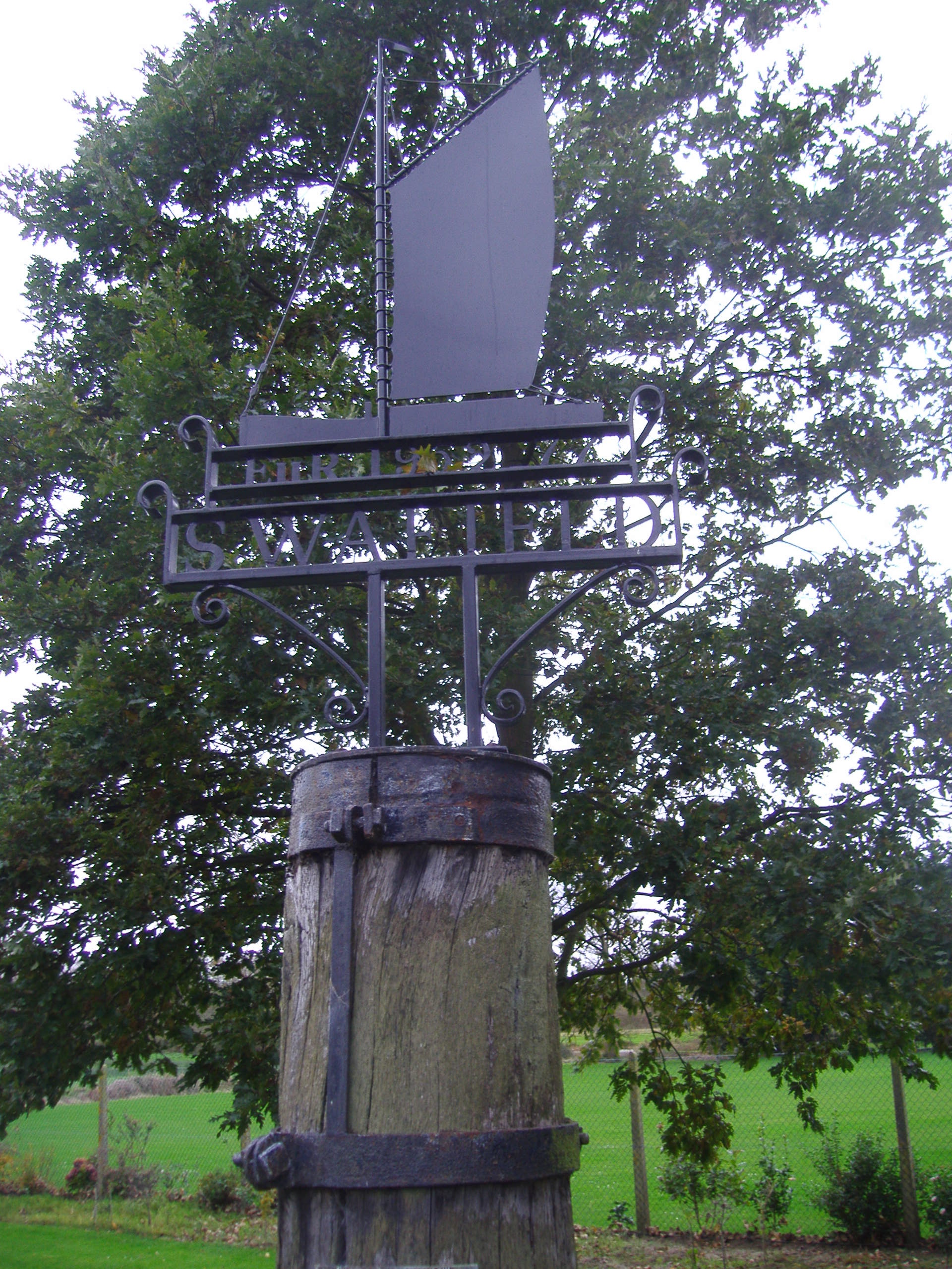
Swafield
Swafield is a village and a civil parish in the English county of Norfolk. The village is 16.4 miles (26.4 km) north north east of Norwich, 10.1 miles...
Nearby Amenities
Located within 500m of 52.841739,1.3545138Have you been to Antingham Hill?
Leave your review of Antingham Hill below (or comments, questions and feedback).