Bramble Hill
Hill, Mountain in Kent Dover
England
Bramble Hill
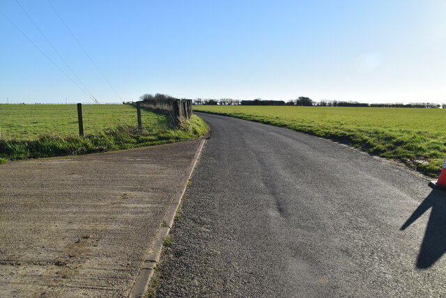
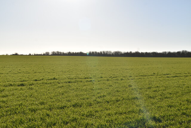
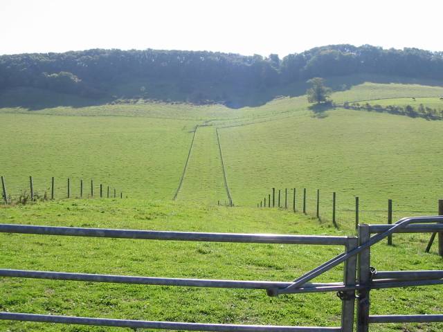
Bramble Hill is a small part of the Kent Downs, located in the county of Kent, in southeastern England. It is not a mountain, but rather a hill located within an Area of Outstanding Natural Beauty. The area surrounding Bramble Hill is known for its picturesque landscapes, rolling hills, and stunning views.
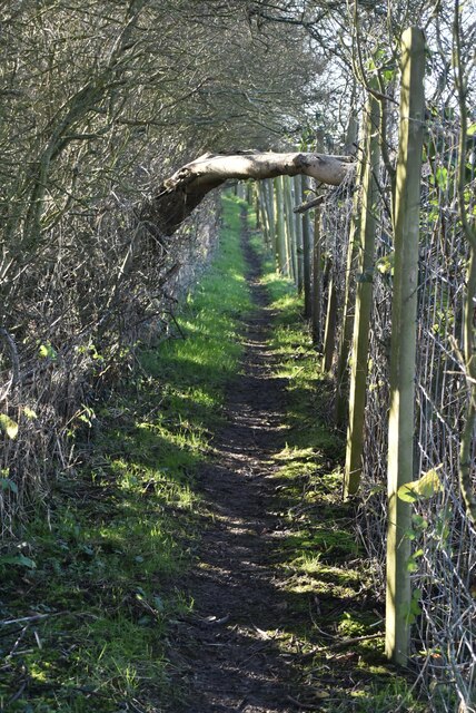
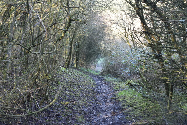
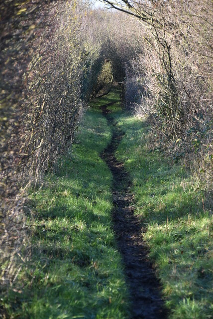
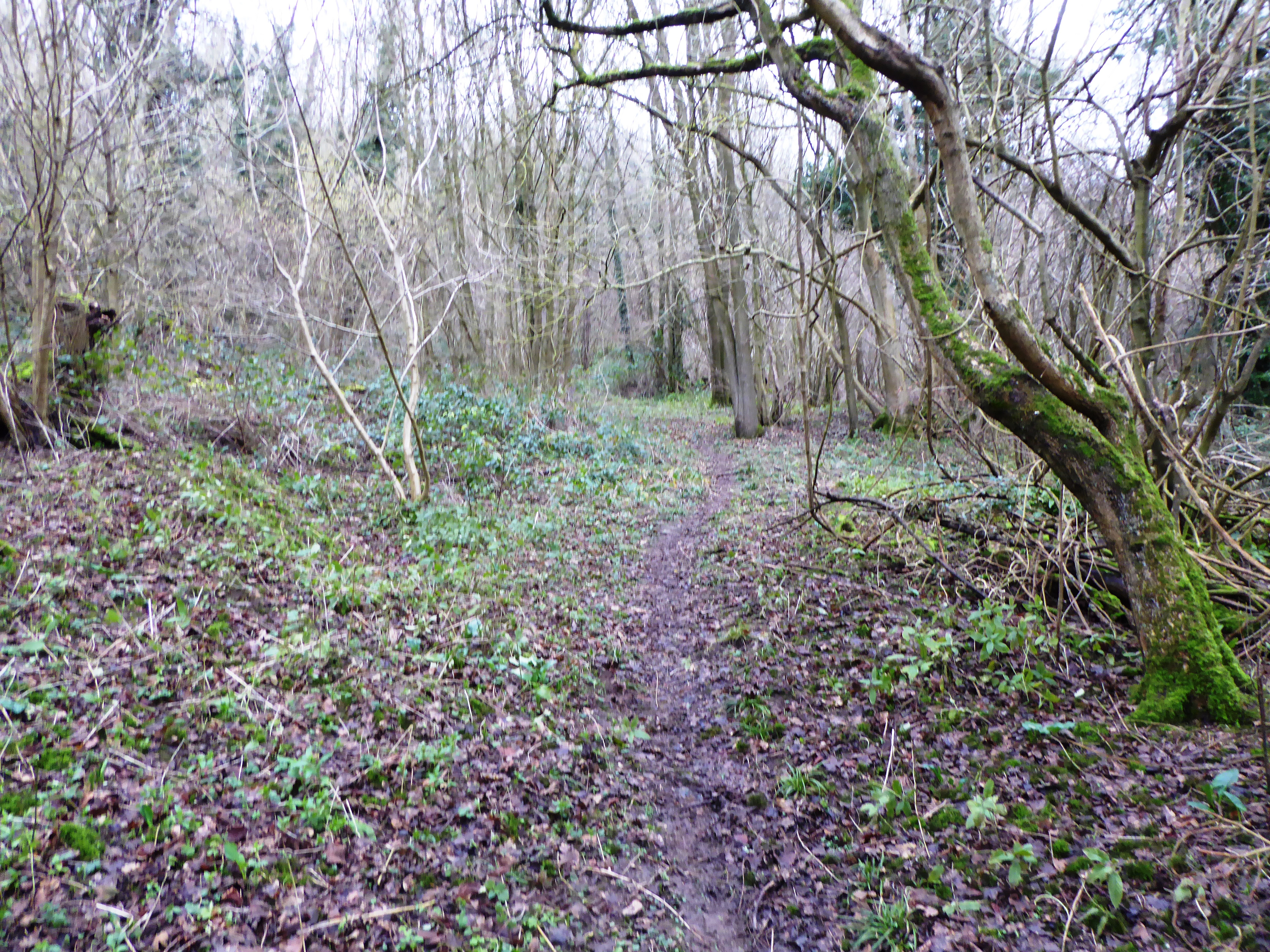
Situated near the village of Wye, Bramble Hill is a popular destination for outdoor enthusiasts and nature lovers alike. It offers a range of activities for visitors, including walking, hiking, and birdwatching. The hill is covered in lush greenery, with brambles, wildflowers, and various types of grasses.
At the top of Bramble Hill, visitors can enjoy panoramic views of the surrounding countryside. On clear days, it is possible to see as far as the North Downs, the English Channel, and even the coastline of France. The hill also provides a peaceful setting for picnics, relaxation, and enjoying the tranquility of nature.
Bramble Hill is home to a diverse range of wildlife, including various species of birds, butterflies, and mammals. It is especially renowned for its bird population, with sightings of rare and protected species being common.
Overall, Bramble Hill offers a serene and idyllic escape from the hustle and bustle of everyday life. With its stunning natural beauty, diverse wildlife, and breathtaking views, it is a must-visit destination for anyone seeking a peaceful retreat in the heart of Kent.
If you have any feedback on the listing, please let us know in the comments section below.
Bramble Hill Images
Images are sourced within 2km of 51.125267/1.2264445 or Grid Reference TR2541. Thanks to Geograph Open Source API. All images are credited.


Bramble Hill is located at Grid Ref: TR2541 (Lat: 51.125267, Lng: 1.2264445)
Administrative County: Kent
District: Dover
Police Authority: Kent
What 3 Words
///crumble.parties.midfield. Near Capel le Ferne, Kent
Nearby Locations
Related Wikis

Hougham Without
Hougham Without is a civil parish between Dover and Folkestone in southeast England. The main settlements are the villages of Church Hougham and West Hougham...
Alkham Valley
The Alkham Valley is in the Kent Downs (the eastern part of the North Downs), an Area of Outstanding Natural Beauty, in South East Kent, England. The valley...

Alkham
Alkham is a village and civil parish in the Dover district of Kent, England, about five miles west of Dover. Within the parish are the settlements of Chalksole...

St Mary's Church, Capel-le-Ferne
St Mary's Church is a redundant Anglican church to the northeast of the village of Capel-le-Ferne, Kent, England. It is recorded in the National Heritage...
Sladden Wood
Sladden Wood is a 7-hectare (17-acre) nature reserve north of Alkham in Kent. It is managed by the Kent Wildlife Trust.The main trees in this wood are...

Drellingore
Drellingore is a village in South East Kent, England. It lies in the Alkham Valley, an area of outstanding natural beauty between Folkestone and Dover...

St. Radegund's Abbey
St. Radegund's Abbey at Bradsole was a medieval monastic house in the parish of Hougham Without near Dover in southeast England. It was dedicated to Radegund...

Dover transmitting station
The Dover transmitting station is a facility for broadcasting and telecommunications, located at West Hougham, near Dover, Kent (grid reference TR274397...
Nearby Amenities
Located within 500m of 51.125267,1.2264445Have you been to Bramble Hill?
Leave your review of Bramble Hill below (or comments, questions and feedback).