Sandy Hill
Hill, Mountain in Norfolk North Norfolk
England
Sandy Hill
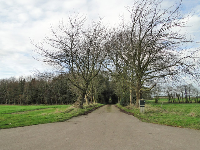
Sandy Hill is a charming village located in Norfolk, England. Situated in the eastern part of the county, it is nestled amongst rolling hills and picturesque landscapes. Despite its name, Sandy Hill does not actually feature a prominent hill or mountain; rather, it is known for its gentle undulating terrain.
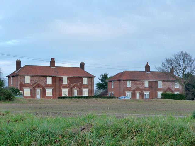
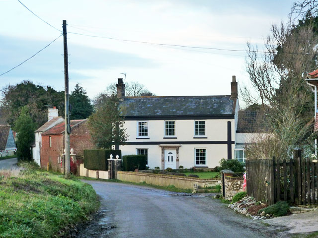
The village itself is small, with a tight-knit community of friendly residents. The architecture of Sandy Hill reflects its quaint and rural character, with many traditional cottages and houses lining the streets. The village is surrounded by lush green fields and farmland, adding to its idyllic charm.
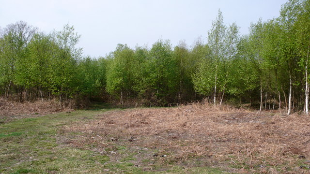
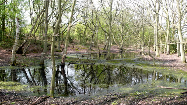
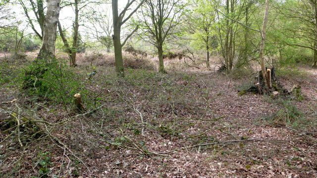
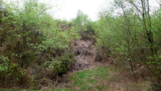
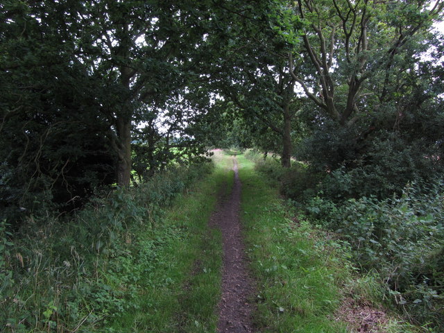
Sandy Hill is a popular destination for nature enthusiasts, as it offers numerous opportunities for outdoor activities. Visitors and locals alike can enjoy peaceful walks along the countryside, taking in the stunning views and fresh air. The village is also home to several nature reserves and parks, providing habitats for a variety of flora and fauna.
Despite its rural setting, Sandy Hill is well-connected to nearby towns and cities. The village has good transport links, making it easily accessible for commuters and tourists. Within a short distance, visitors can explore the vibrant city of Norwich, with its rich history, cultural attractions, and shopping opportunities.
In summary, Sandy Hill is a charming and tranquil village in Norfolk that offers visitors a chance to escape the hustle and bustle of city life. With its scenic surroundings and close proximity to other attractions, it is a perfect destination for those seeking a peaceful retreat in the heart of the English countryside.
If you have any feedback on the listing, please let us know in the comments section below.
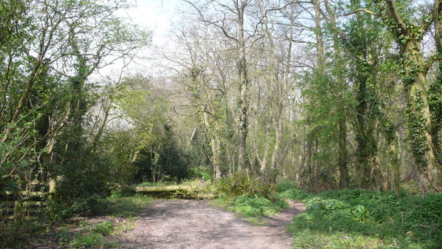
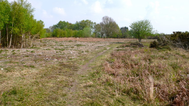
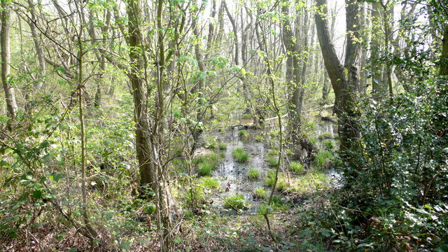
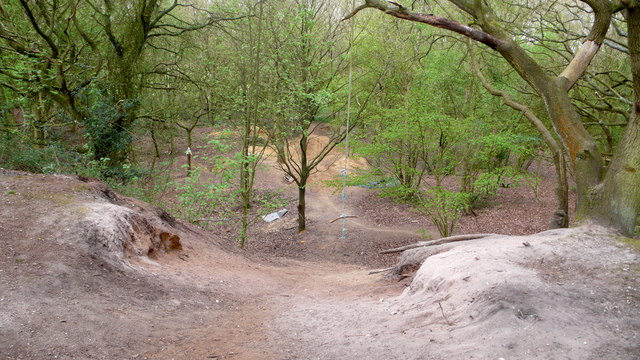
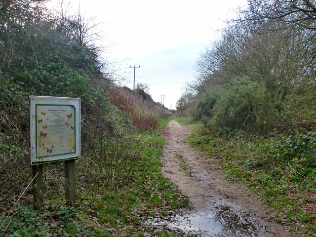
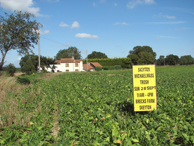
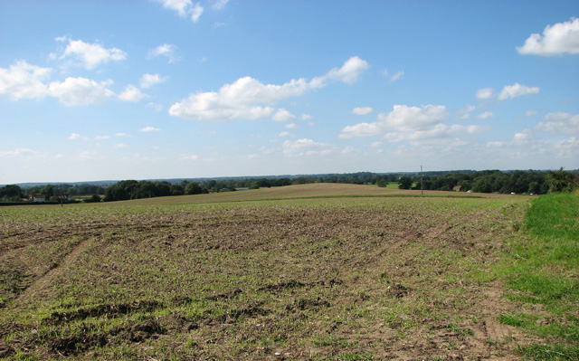
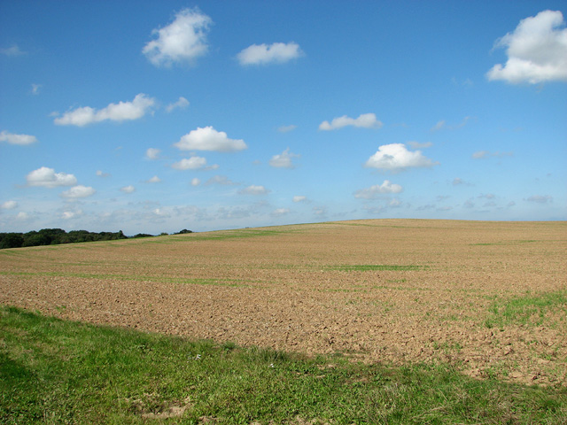
Sandy Hill Images
Images are sourced within 2km of 52.806535/1.3466511 or Grid Reference TG2528. Thanks to Geograph Open Source API. All images are credited.

Sandy Hill is located at Grid Ref: TG2528 (Lat: 52.806535, Lng: 1.3466511)
Administrative County: Norfolk
District: North Norfolk
Police Authority: Norfolk
What 3 Words
///perfected.caressing.workloads. Near North Walsham, Norfolk
Nearby Locations
Related Wikis

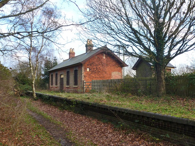
Felmingham railway station
Felmingham railway station is a former railway station in Norfolk, England. It was closed in 1959. It served the village of Felmingham. == References ==

Bryant's Heath, Felmingham
Bryant's Heath, Felmingham is a 17.7-hectare (44-acre) biological Site of Special Scientific Interest west of North Walsham in Norfolk.Most of this site...

Felmingham Cutting
Felmingham Cutting is a 1-hectare (2.5-acre) Local Nature Reserve west of North Walsham in Norfolk. It is owned by North Norfolk District Council and...

Felmingham
Felmingham is a village and civil parish in the English county of Norfolk. The village is located 2 miles (3.2 km) west of North Walsham and 13 miles...
Nearby Amenities
Located within 500m of 52.806535,1.3466511Have you been to Sandy Hill?
Leave your review of Sandy Hill below (or comments, questions and feedback).