Oak Hill
Hill, Mountain in Norfolk North Norfolk
England
Oak Hill
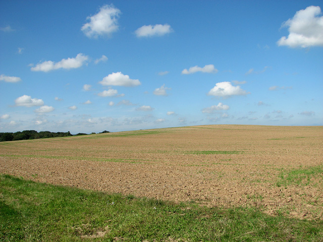
Oak Hill, located in Norfolk, is a prominent hill that offers picturesque views and a serene environment. Situated on the outskirts of Norfolk, this hill serves as a popular destination for locals and tourists alike. With an elevation of approximately 100 meters, Oak Hill stands tall and offers breathtaking panoramic views of the surrounding landscape.
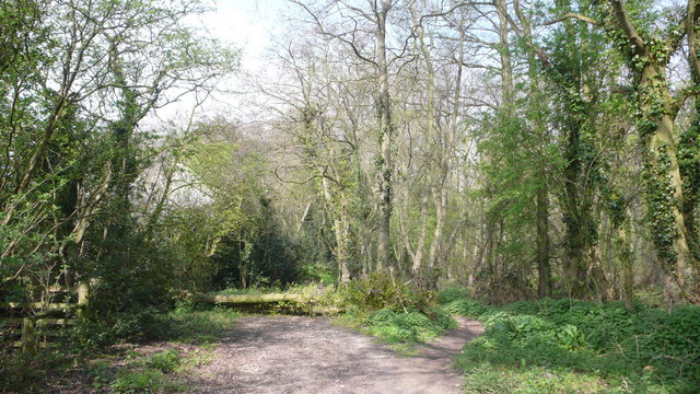
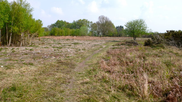
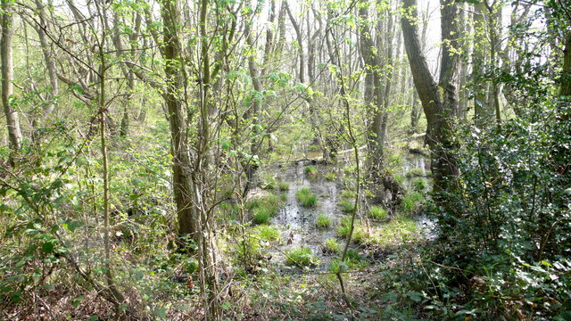
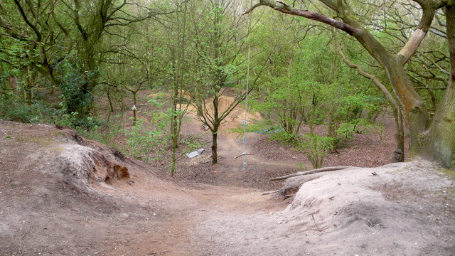
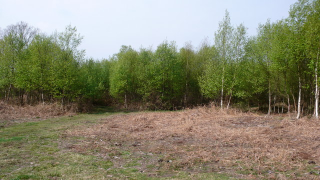
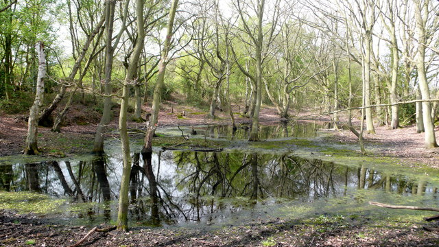
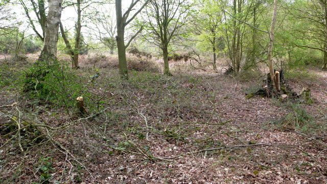
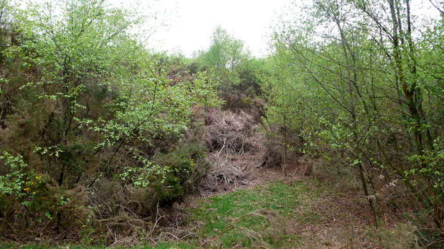
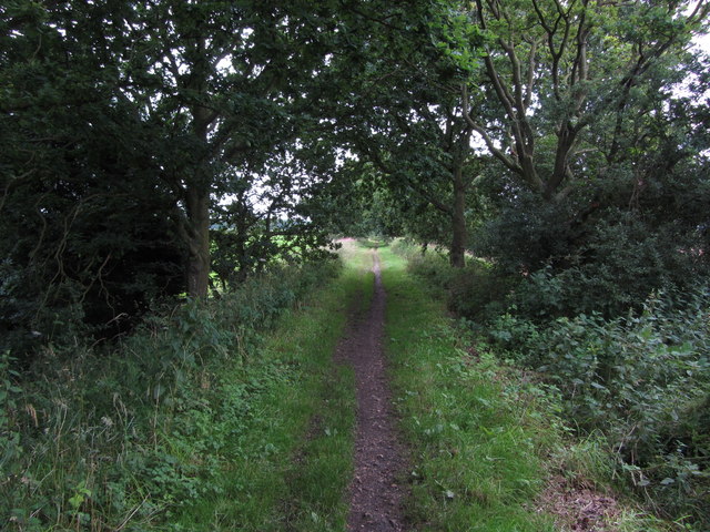
The hill is covered in dense oak trees, which give it its name. These trees provide a green canopy, creating a cool and shaded atmosphere even on hot summer days. Oak Hill is a haven for nature enthusiasts, offering several hiking trails that wind through the hill's terrain. These trails allow visitors to explore the diverse flora and fauna that call this area home.
At the summit of Oak Hill, there is a viewpoint that overlooks the Norfolk countryside. From this vantage point, visitors can enjoy sweeping views of rolling hills, meandering rivers, and charming villages. The view is particularly stunning during sunrise and sunset when the sky is painted in vibrant hues.
Oak Hill is also steeped in history. It has been a site of significance for centuries, with archaeological evidence suggesting human habitation as far back as the Iron Age. The hill has witnessed various historical events and is believed to have been a strategic location during medieval times.
Overall, Oak Hill in Norfolk is a natural treasure that offers a tranquil escape from the bustling city. Its beauty, rich history, and recreational opportunities make it a must-visit destination for nature lovers and history enthusiasts alike.
If you have any feedback on the listing, please let us know in the comments section below.
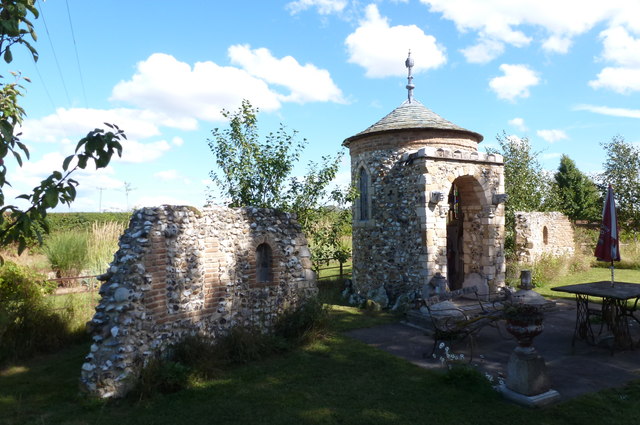
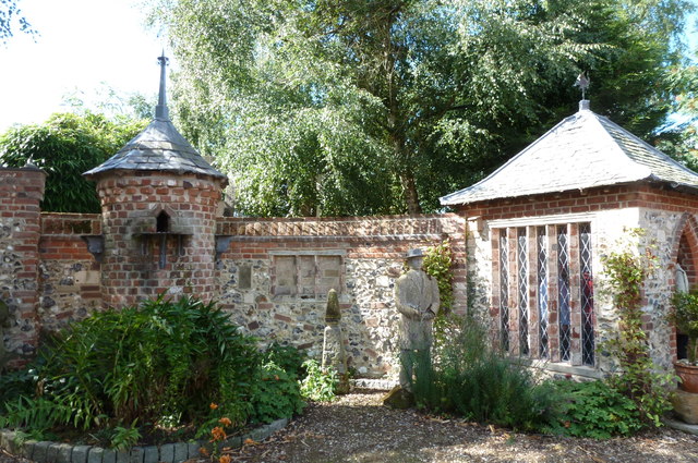
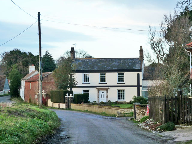
Oak Hill Images
Images are sourced within 2km of 52.809588/1.3398209 or Grid Reference TG2528. Thanks to Geograph Open Source API. All images are credited.
Oak Hill is located at Grid Ref: TG2528 (Lat: 52.809588, Lng: 1.3398209)
Administrative County: Norfolk
District: North Norfolk
Police Authority: Norfolk
What 3 Words
///freezing.spends.headless. Near North Walsham, Norfolk
Nearby Locations
Related Wikis

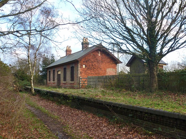
Felmingham railway station
Felmingham railway station is a former railway station in Norfolk, England. It was closed in 1959. It served the village of Felmingham. == References ==

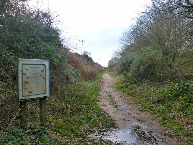
Felmingham Cutting
Felmingham Cutting is a 1-hectare (2.5-acre) Local Nature Reserve west of North Walsham in Norfolk. It is owned by North Norfolk District Council and...

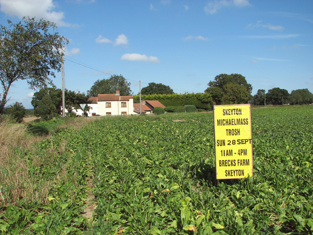
Felmingham
Felmingham is a village and civil parish in the English county of Norfolk. The village is located 2 miles (3.2 km) west of North Walsham and 13 miles...

Bryant's Heath, Felmingham
Bryant's Heath, Felmingham is a 17.7-hectare (44-acre) biological Site of Special Scientific Interest west of North Walsham in Norfolk.Most of this site...
Nearby Amenities
Located within 500m of 52.809588,1.3398209Have you been to Oak Hill?
Leave your review of Oak Hill below (or comments, questions and feedback).