Furze Hill

Hill, Mountain in Norfolk South Norfolk

England

Furze Hill

Tharston: Hall Road
Tharston: Hall Road Credit: Michael Garlick

Furze Hill is a prominent hill located in the county of Norfolk, England. Situated near the village of Great Massingham, it stands at an elevation of approximately 78 meters (256 feet) above sea level. Although referred to as a hill, it is worth noting that Norfolk is a generally flat region, and the term "hill" is used relatively in this context.

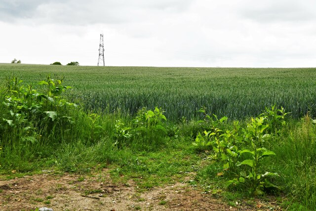
Furze Hill is characterized by its gently sloping sides and is predominantly covered in low-lying vegetation such as gorse, heather, and grass. The hill offers expansive views of the surrounding countryside, providing visitors with a picturesque panorama of the Norfolk landscape. On clear days, one can see for miles, with fields, meadows, and small villages dotting the vista.

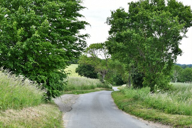
The hill is a popular destination for walkers and hikers, who enjoy the tranquil and scenic environment it offers. It is accessible via footpaths, and there are designated routes that lead to the summit. While not particularly challenging, the ascent provides a moderate workout for those seeking a bit of exercise.

Furze Hill is also known for its historical significance. It is believed to have been an important landmark during ancient times, potentially used for navigational purposes. Archaeological evidence suggests that it may have been an ancient burial site, with the discovery of burial mounds in the surrounding area.

Overall, Furze Hill is a notable feature of the Norfolk landscape, offering visitors a chance to immerse themselves in the natural beauty and history of the region.

If you have any feedback on the listing, please let us know in the comments section below.
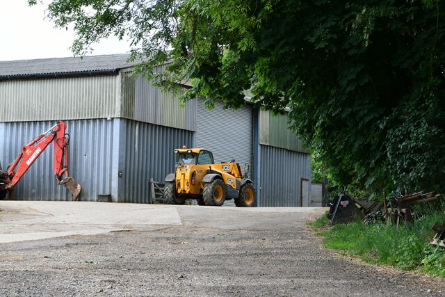
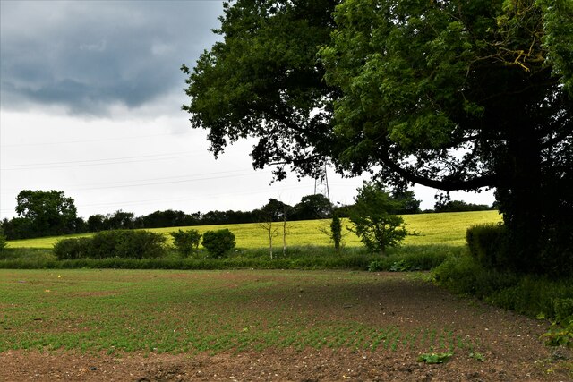
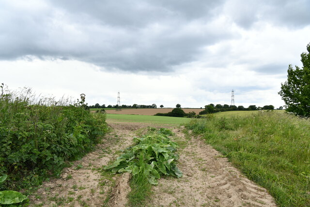
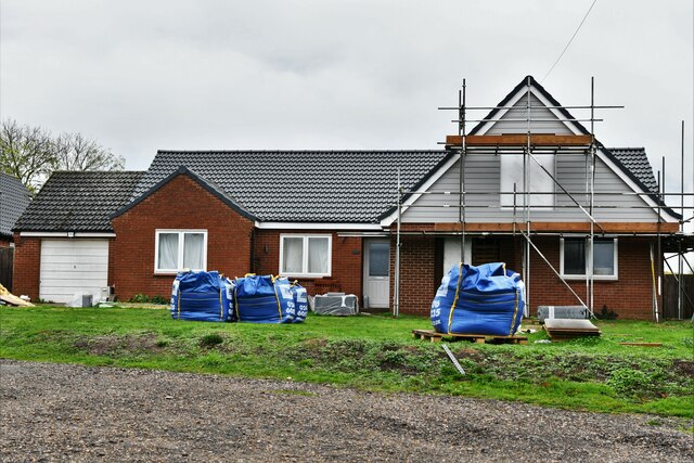
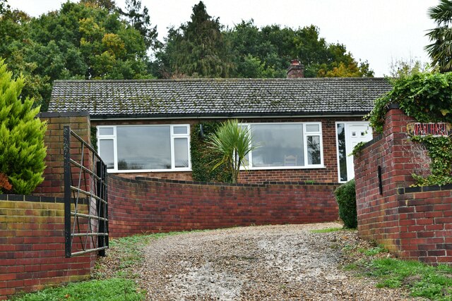
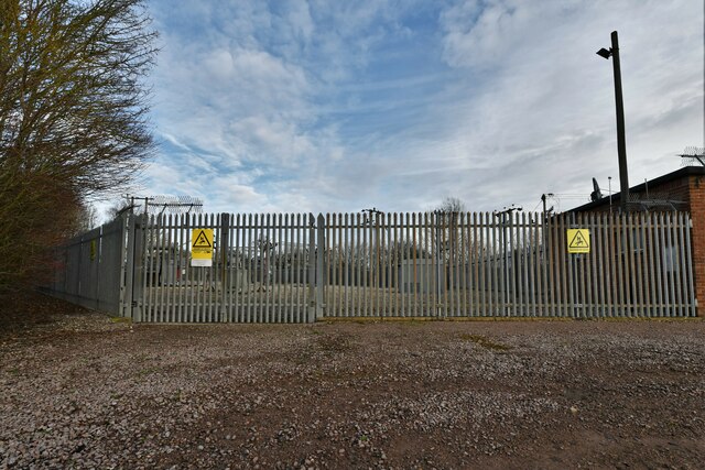
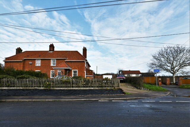
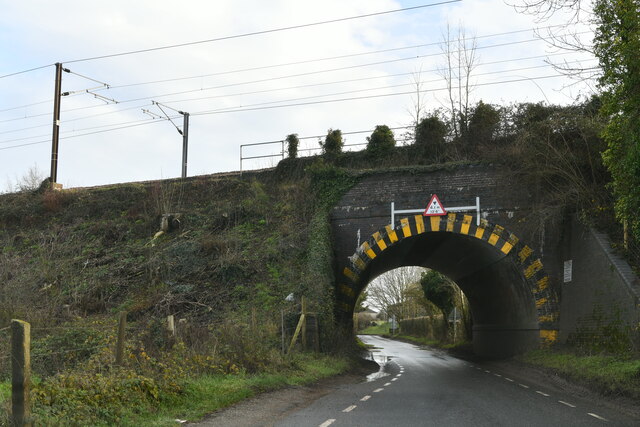
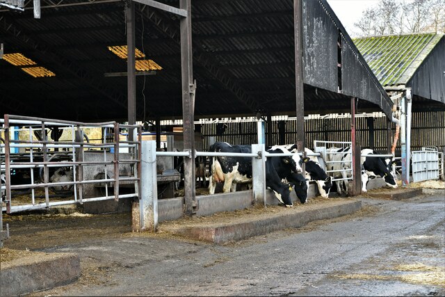
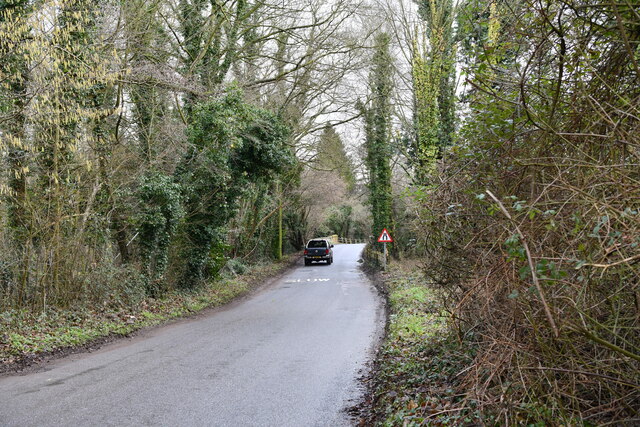
Furze Hill Images

Images are sourced within 2km of 52.51274/1.2327654 or Grid Reference TM1995. Thanks to Geograph Open Source API. All images are credited.

Tharston: Hall Road
Tharston: Hall Road
Tharston: St. Mary's Church
Tharston: 'The Wilderness'
Tasburgh: Hill Farm
Tasburgh: Hill Farm
Tharston: Wheat crop
Tharston: Crop
Tharston: Crop
Tharston: Parkes Lane looking north
Tharston: Farm track
Tharston, St. Mary's Church: Eastern aspect
Tharston:  Private access to Hall Farm
Tharston: Private access to Hall Farm
Tharston, St. Mary's Church: Western aspect
Flordon: 'Tas Valley View'
Flordon: 'Mandhari'
Flordon: 'Mandhari'
Hapton: Pumping Station A collection of photographs (just one from each contributor) taken on New Year's Day 2023 by Geographers from all over Great Britain, Ireland and the Isle of Man.

View all the photos on a map here: <a title="https://www.geograph.org.uk/search.php?i=172163615" href="https://www.geograph.org.uk/search.php?i=172163615">Link</a>
Hapton: Pumping Station
A collection of photographs (just one from each contributor) taken on New Year's Day 2023 by Geographers from all over Great Britain, Ireland and the Isle of Man. View all the photos on a map here: Link
Hapton: The Street
Hapton: The Street
Tharston: Railway bridge
Tharston, Valley Farm: Large cow shed
Lower Tasburgh: Looking towards a bridge over the river
Show me another place!

Furze Hill is located at Grid Ref: TM1995 (Lat: 52.51274, Lng: 1.2327654)

Administrative County: Norfolk

District: South Norfolk

Police Authority: Norfolk

What 3 Words

///hails.snored.broached. Near Long Stratton, Norfolk

Related Wikis

Tharston and Hapton

The civil parish of Tharston and Hapton lies in the south of the county of Norfolk, England. It encompasses the two villages of Tharston and Hapton, covering...

Tasburgh

Tasburgh ( TAYZ-bər-ə) is a civil parish and a village in the south of Norfolk, England, located approximately 8 miles south of Norwich. It lies on the...

Flordon

Flordon is a village and civil parish in the English county of Norfolk. The village is located 5.4 miles (8.7 km) south-east of Wymondham and 7.6 miles...

Flordon railway station

Flordon railway station served the village of Flordon, Norfolk. It was opened in 1849, when the line from London Liverpool Street to Norwich Victoria was...

A140 road

The A140 is an 'A-class' road in Norfolk and Suffolk, East Anglia, England partly following the route of the Roman Pye Road. It runs from the A14 near...

Hapton, Norfolk

Hapton is a village and former civil parish, now in the parish of Tharston and Hapton, in the South Norfolk district, in the county of Norfolk, England...

Flordon Common

Flordon Common is a 9.9-hectare (24-acre) biological Site of Special Scientific Interest south-east of Wymondham in Norfolk. It is a registered common...

South Norfolk

South Norfolk is a local government district in Norfolk, England. Its council is based in the Horizon Building at Broadland Business Park near Norwich...

Nearby Amenities

Located within 500m of 52.51274,1.2327654
Ford: yes
Lat/Long: 52.5154187/1.2362507
Bus Stop
Low Road, N-bound
Naptan AtcoCode: 2900T025
Naptan Bearing: N
Naptan BusStopType: CUS
Naptan CommonName: Low Road
Naptan Indicator: N-bound
Naptan Locality: Lower Tasburgh
Naptan NaptanCode: nfodwjtp
Naptan Street: Low Road
Naptan Verified: no
Source: naptan_import
Lat/Long: 52.5148783/1.2360073
Bus Stop
Low Road, S-bound
Naptan AtcoCode: 2900T026
Naptan Bearing: S
Naptan BusStopType: CUS
Naptan CommonName: Low Road
Naptan Indicator: S-bound
Naptan Locality: Lower Tasburgh
Naptan NaptanCode: nfodwjtw
Naptan Street: Low Road
Naptan Verified: no
Source: naptan_import
Lat/Long: 52.5147771/1.2360883
Post Box
Operator: Royal Mail
Post Box Mounting: pier
Post Box Type: lamp
Royal Cypher: EIIR
Royal Cypher Wikidata: Q33102113
Lat/Long: 52.5163675/1.2368405
Furze Hill
Natural: hill
Lat/Long: 52.5138092/1.2315
Power: pole
Lat/Long: 52.5083847/1.2334714
Power: pole
Lat/Long: 52.5093202/1.2332648
Power: pole
Lat/Long: 52.5093536/1.2334271
Power: pole
Lat/Long: 52.5101821/1.2330717
Power: pole
Lat/Long: 52.5101862/1.2332259
Power: pole
Lat/Long: 52.5116398/1.2316823
Power: pole
Lat/Long: 52.5116456/1.2317695
Power: pole
Lat/Long: 52.5123157/1.2311459
Power: pole
Lat/Long: 52.5123458/1.2312572
Power: pole
Lat/Long: 52.5125528/1.2256936
Power: pole
Lat/Long: 52.5130176/1.2306041
Power: pole
Lat/Long: 52.513031/1.2266056
Power: pole
Lat/Long: 52.5130445/1.2306993
Power: pole
Lat/Long: 52.5137215/1.2268845
Power: pole
Lat/Long: 52.5138411/1.2300502
Power: pole
Lat/Long: 52.5138447/1.2299543
Power: pole
Lat/Long: 52.51399/1.2267974
Power: pole
Lat/Long: 52.5141696/1.2275591
Power: pole
Lat/Long: 52.514183/1.2268772
Power: pole
Lat/Long: 52.514574/1.2297176
Power: pole
Lat/Long: 52.5149278/1.2266807
Power: pole
Lat/Long: 52.5153901/1.2293904
Power: pole
Lat/Long: 52.5164233/1.2290524
Location Transition: yes
Power: pole
Transformer: distribution
Lat/Long: 52.5164078/1.2367438
Generator Source: solar
Location: roof
Power: generator
Lat/Long: 52.5165457/1.2331054
Generator Source: solar
Location: roof
Power: generator
Lat/Long: 52.5166077/1.2330919
The data included in this document is from www.openstreetmap.org. The data is made available under ODbL.

Have you been to Furze Hill?

Leave your review of Furze Hill below (or comments, questions and feedback).