Chapel Hill

Hill, Mountain in Norfolk South Norfolk

England

Chapel Hill

Tharston: Hall Road
Tharston: Hall Road Credit: Michael Garlick

Chapel Hill, Norfolk is a small hill located in the county of Norfolk, England. Situated near the village of Chapel Hill, this hill is often referred to as Chapel Hill Mountain due to its relatively steep incline compared to the surrounding landscape. It is a prominent feature in the area, offering picturesque views of the Norfolk countryside.

Chapel Hill stands at an elevation of approximately 100 meters above sea level, making it a notable landmark in the region. The hill is covered in lush greenery, with a variety of native plants and trees adorning its slopes. It is a popular destination for hikers and nature enthusiasts, who are drawn to its scenic trails and tranquil atmosphere.

The hill is also home to several archaeological sites, including ancient burial mounds and remnants of Iron Age settlements. These historical landmarks provide valuable insights into the region's past and attract archaeology enthusiasts and researchers.

Chapel Hill is easily accessible, with a well-maintained road leading to its summit. Visitors can enjoy a leisurely drive or opt for more adventurous activities such as cycling or walking. The hill offers ample parking facilities and a designated picnic area, making it an ideal spot for a day trip or a family outing.

Overall, Chapel Hill, Norfolk is a charming and historically significant hill, offering stunning views and a glimpse into the region's past. It continues to attract visitors from near and far who appreciate its natural beauty and cultural heritage.

If you have any feedback on the listing, please let us know in the comments section below.
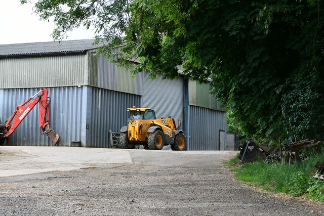
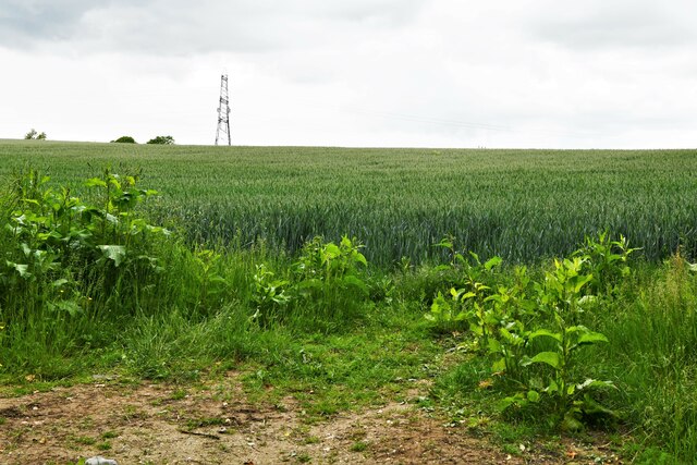
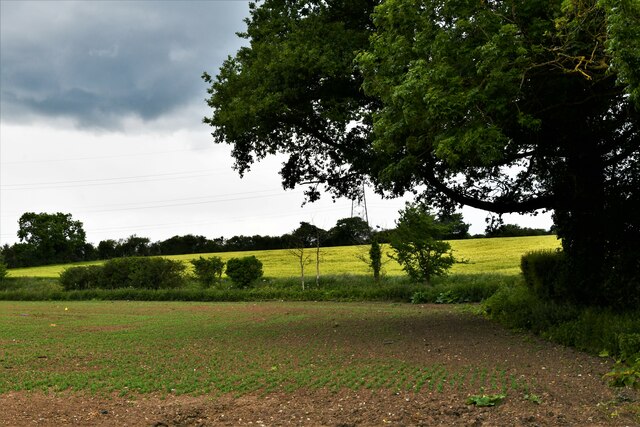
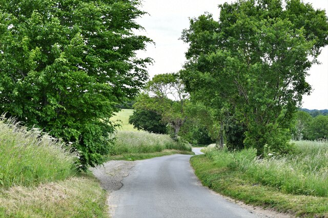
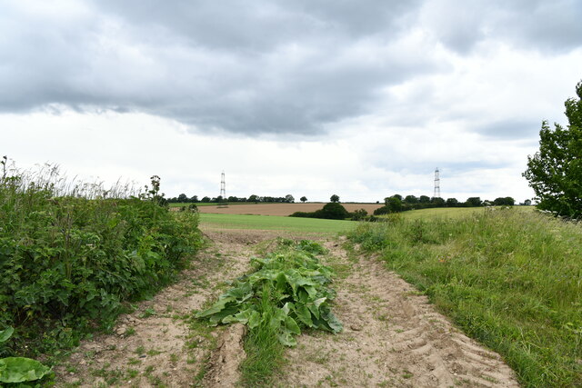
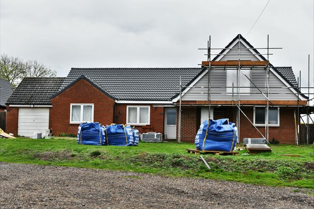
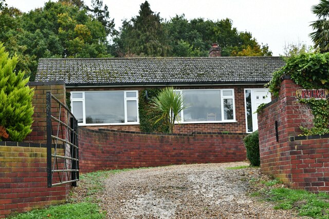
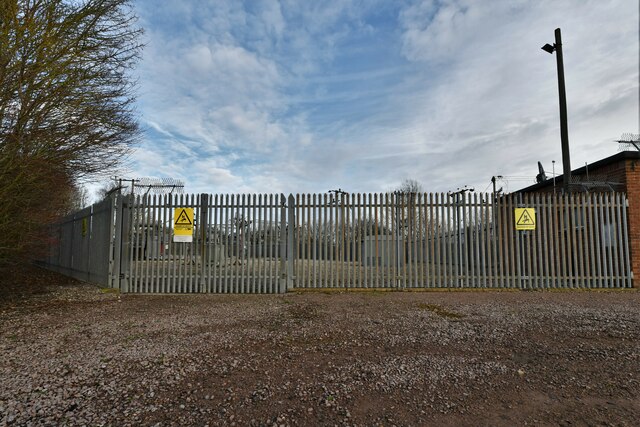
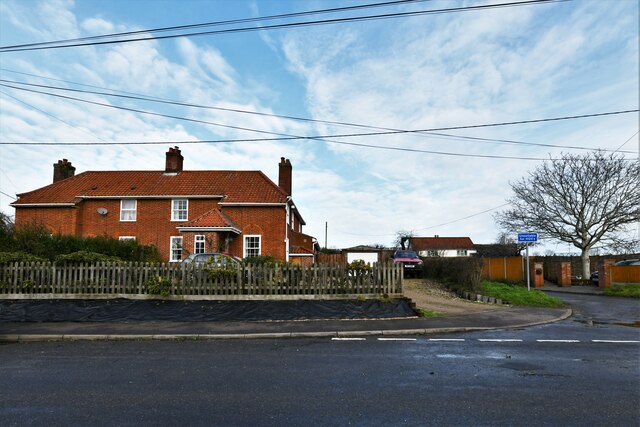
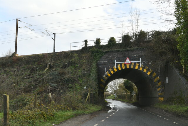
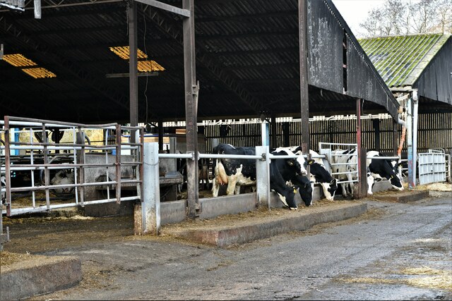
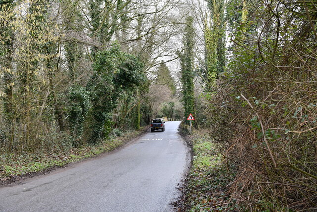
Chapel Hill Images

Images are sourced within 2km of 52.5167/1.2306975 or Grid Reference TM1995. Thanks to Geograph Open Source API. All images are credited.

Tharston: Hall Road
Tharston: Hall Road
Tharston: St. Mary's Church
Tharston: 'The Wilderness'
Tasburgh: Hill Farm
Tasburgh: Hill Farm
Tharston: Wheat crop
Tharston: Crop
Tharston: Crop
Tharston: Parkes Lane looking north
Tharston: Farm track
Tharston, St. Mary's Church: Eastern aspect
Tharston:  Private access to Hall Farm
Tharston: Private access to Hall Farm
Tharston, St. Mary's Church: Western aspect
Flordon: 'Tas Valley View'
Flordon: 'Mandhari'
Flordon: 'Mandhari'
Hapton: Pumping Station A collection of photographs (just one from each contributor) taken on New Year's Day 2023 by Geographers from all over Great Britain, Ireland and the Isle of Man.

View all the photos on a map here: <a title="https://www.geograph.org.uk/search.php?i=172163615" href="https://www.geograph.org.uk/search.php?i=172163615">Link</a>
Hapton: Pumping Station
A collection of photographs (just one from each contributor) taken on New Year's Day 2023 by Geographers from all over Great Britain, Ireland and the Isle of Man. View all the photos on a map here: Link
Hapton: The Street
Hapton: The Street
Tharston: Railway bridge
Tharston, Valley Farm: Large cow shed
Lower Tasburgh: Looking towards a bridge over the river
Show me another place!

Chapel Hill is located at Grid Ref: TM1995 (Lat: 52.5167, Lng: 1.2306975)

Administrative County: Norfolk

District: South Norfolk

Police Authority: Norfolk

What 3 Words

///group.receiving.waggled. Near Long Stratton, Norfolk

Related Wikis

Tharston and Hapton

The civil parish of Tharston and Hapton lies in the south of the county of Norfolk, England. It encompasses the two villages of Tharston and Hapton, covering...

Flordon

Flordon is a village and civil parish in the English county of Norfolk. The village is located 5.4 miles (8.7 km) south-east of Wymondham and 7.6 miles...

Tasburgh

Tasburgh ( TAYZ-bər-ə) is a civil parish and a village in the south of Norfolk, England, located approximately 8 miles south of Norwich. It lies on the...

Flordon railway station

Flordon railway station served the village of Flordon, Norfolk. It was opened in 1849, when the line from London Liverpool Street to Norwich Victoria was...

Nearby Amenities

Located within 500m of 52.5167,1.2306975
Power: tower
Ref: 4YM 173
Lat/Long: 52.519385/1.226298
Power: tower
Ref: 4YM 172
Lat/Long: 52.517088/1.223554
Ford: yes
Lat/Long: 52.5154187/1.2362507
Bus Stop
Low Road, N-bound
Naptan AtcoCode: 2900T025
Naptan Bearing: N
Naptan BusStopType: CUS
Naptan CommonName: Low Road
Naptan Indicator: N-bound
Naptan Locality: Lower Tasburgh
Naptan NaptanCode: nfodwjtp
Naptan Street: Low Road
Naptan Verified: no
Source: naptan_import
Lat/Long: 52.5148783/1.2360073
Bus Stop
Low Road, S-bound
Naptan AtcoCode: 2900T026
Naptan Bearing: S
Naptan BusStopType: CUS
Naptan CommonName: Low Road
Naptan Indicator: S-bound
Naptan Locality: Lower Tasburgh
Naptan NaptanCode: nfodwjtw
Naptan Street: Low Road
Naptan Verified: no
Source: naptan_import
Lat/Long: 52.5147771/1.2360883
Parkes Lane, adj
Naptan AtcoCode: 2900T078
Naptan Bearing: NW
Naptan BusStopType: CUS
Naptan CommonName: Parkes Lane
Naptan Indicator: adj
Naptan Landmark: Long Lane
Naptan Locality: Tharston
Naptan NaptanCode: nfodwtgd
Naptan ShortCommonName: Parkes Lane
Naptan Street: Parkes Lane
Naptan Verified: no
Source: naptan_import
Lat/Long: 52.5161148/1.2274683
Post Box
Operator: Royal Mail
Post Box Mounting: pier
Post Box Type: lamp
Royal Cypher: EIIR
Royal Cypher Wikidata: Q33102113
Lat/Long: 52.5163675/1.2368405
Furze Hill
Natural: hill
Lat/Long: 52.5138092/1.2315
Power: pole
Lat/Long: 52.5123157/1.2311459
Power: pole
Lat/Long: 52.5123458/1.2312572
Power: pole
Lat/Long: 52.5130176/1.2306041
Power: pole
Lat/Long: 52.513031/1.2266056
Power: pole
Lat/Long: 52.5130445/1.2306993
Power: pole
Lat/Long: 52.5137215/1.2268845
Power: pole
Lat/Long: 52.5138411/1.2300502
Power: pole
Lat/Long: 52.5138447/1.2299543
Power: pole
Lat/Long: 52.51399/1.2267974
Power: pole
Lat/Long: 52.5141696/1.2275591
Power: pole
Lat/Long: 52.514183/1.2268772
Power: pole
Lat/Long: 52.514392/1.2249326
Power: pole
Lat/Long: 52.514574/1.2297176
Power: pole
Lat/Long: 52.5149278/1.2266807
Power: pole
Lat/Long: 52.5153901/1.2293904
Power: pole
Lat/Long: 52.5157374/1.2266968
Power: pole
Lat/Long: 52.5161911/1.2266217
Power: pole
Lat/Long: 52.5164233/1.2290524
Power: pole
Lat/Long: 52.51743/1.2265198
Location Transition: yes
Power: pole
Transformer: distribution
Lat/Long: 52.5164078/1.2367438
Generator Source: solar
Location: roof
Power: generator
Lat/Long: 52.5165457/1.2331054
Generator Source: solar
Location: roof
Power: generator
Lat/Long: 52.5166077/1.2330919
The data included in this document is from www.openstreetmap.org. The data is made available under ODbL.

Have you been to Chapel Hill?

Leave your review of Chapel Hill below (or comments, questions and feedback).