Sandy Hill
Hill, Mountain in Norfolk North Norfolk
England
Sandy Hill

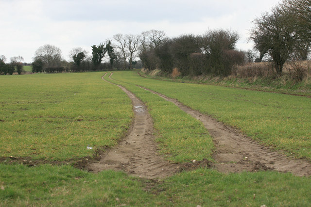
Sandy Hill is a small hill located in the county of Norfolk, England. Situated in the eastern region of the country, Norfolk is known for its picturesque landscapes and natural beauty, and Sandy Hill is no exception. While it may not reach the heights of a mountain, Sandy Hill still offers stunning panoramic views of the surrounding area.
This hill is characterized by its sandy soil composition, which gives it its name. The sand texture of the soil contributes to the hill's unique appearance, making it stand out amongst the lush greenery of the Norfolk countryside. Its gentle slopes make it an ideal spot for leisurely walks, picnics, and outdoor activities, such as kite flying or bird watching.
Sandy Hill is also home to a variety of wildlife species, including rabbits, pheasants, and various bird species. Visitors can often observe these animals in their natural habitat while exploring the hill. The area surrounding the hill is rich in flora, with wildflowers, grasses, and shrubs adding to its natural charm.
The hill is easily accessible by foot or by car, with parking available nearby. Its location in Norfolk makes it a popular destination for both locals and tourists, who come to enjoy the serene atmosphere and stunning vistas. Whether it's taking a relaxing stroll or simply enjoying the tranquility of nature, Sandy Hill offers a delightful experience for all who visit.
If you have any feedback on the listing, please let us know in the comments section below.
Sandy Hill Images
Images are sourced within 2km of 52.929532/1.149731 or Grid Reference TG1141. Thanks to Geograph Open Source API. All images are credited.


Sandy Hill is located at Grid Ref: TG1141 (Lat: 52.929532, Lng: 1.149731)
Administrative County: Norfolk
District: North Norfolk
Police Authority: Norfolk
What 3 Words
///farm.scooters.leathers. Near Sheringham, Norfolk
Nearby Locations
Related Wikis
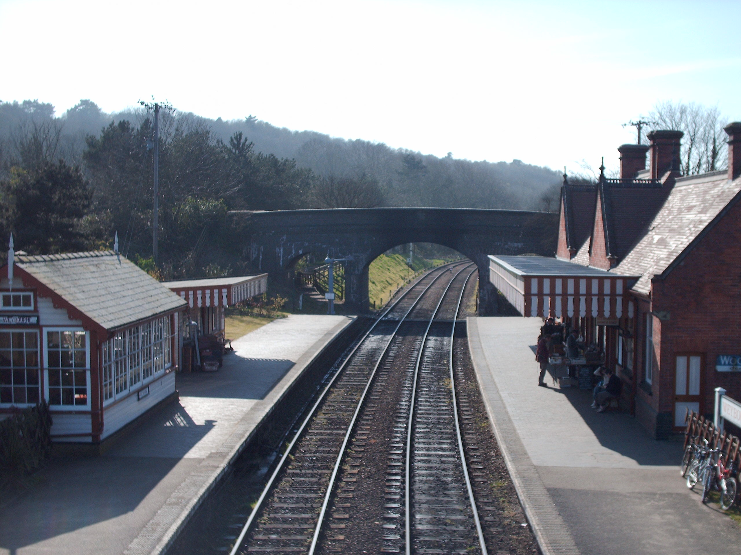
Weybourne railway station
Weybourne railway station is a station in Weybourne, Norfolk, on the preserved North Norfolk Railway. It was formerly part of the Midland and Great Northern...
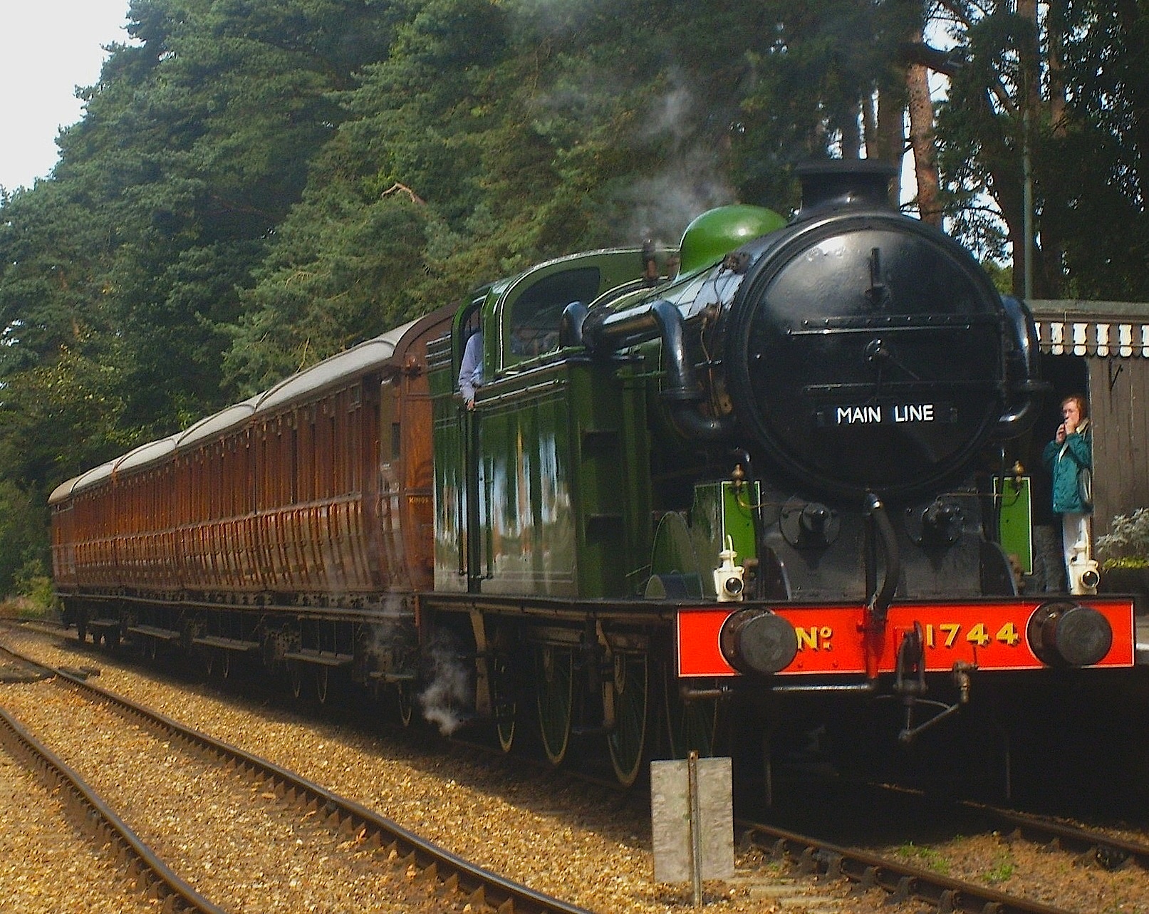
North Norfolk Railway
The North Norfolk Railway (NNR) – also known as the "Poppy Line" – is a 5+1⁄4-mile (8.4 km) heritage steam railway in Norfolk, England, running between...

Kelling Heath Holiday Park
Kelling Heath Holiday Park is a holiday park in Norfolk, England, owned and operated by Blue Sky Leisure. Kelling Heath Holiday Park is located on the...

Kelling Heath Park railway station
Kelling Heath Park is a small halt on the North Norfolk Railway (NNR), used mostly by hikers using Kelling Heath. It was opened after the line was preserved...

Weybourne Windmill
Weybourne Windmill is located on the eastern high ground above the village of Weybourne in the English county of Norfolk. It is on the northern side of...
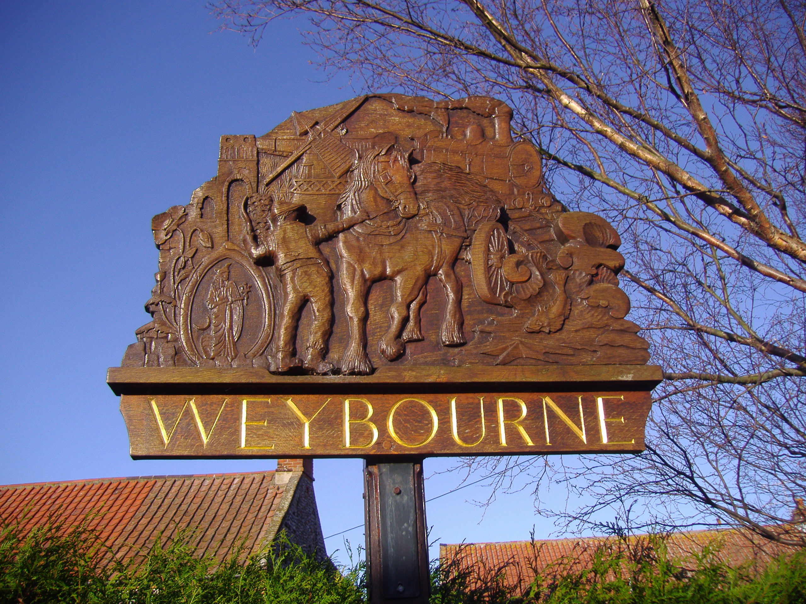
Weybourne, Norfolk
Weybourne is a village on the coast of North Norfolk, England. The village is surrounded by arable fields, woodland and heathland; it straddles the A149...
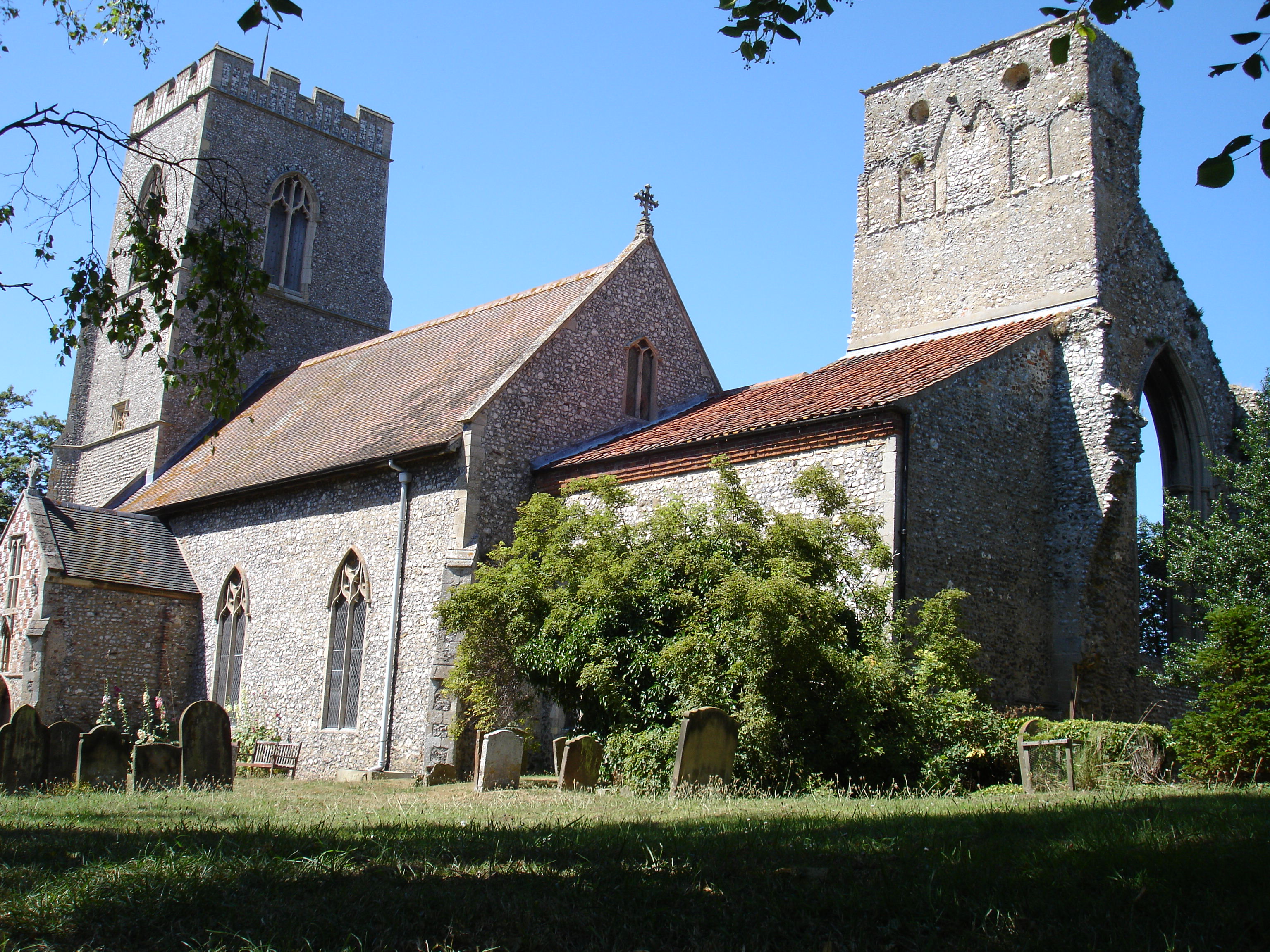
Weybourne Priory
Weybourne Priory was a small Augustinian medieval monastic house in Weybourne, Norfolk, England. It was founded around 1200 AD by Sir Ralph de Meyngaren...
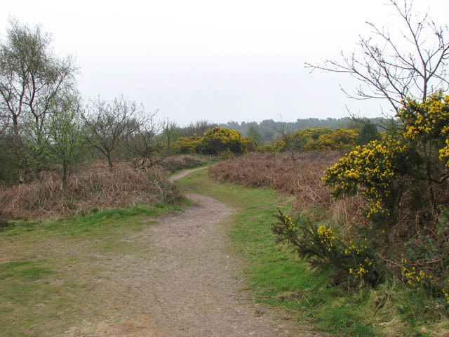
Kelling Heath
Kelling Heath is an 89.4-hectare (221-acre) biological Site of Special Scientific Interest between Holt and Weybourne in Norfolk. It is in the Norfolk...
Nearby Amenities
Located within 500m of 52.929532,1.149731Have you been to Sandy Hill?
Leave your review of Sandy Hill below (or comments, questions and feedback).