Blackacre Hill
Hill, Mountain in Suffolk Mid Suffolk
England
Blackacre Hill

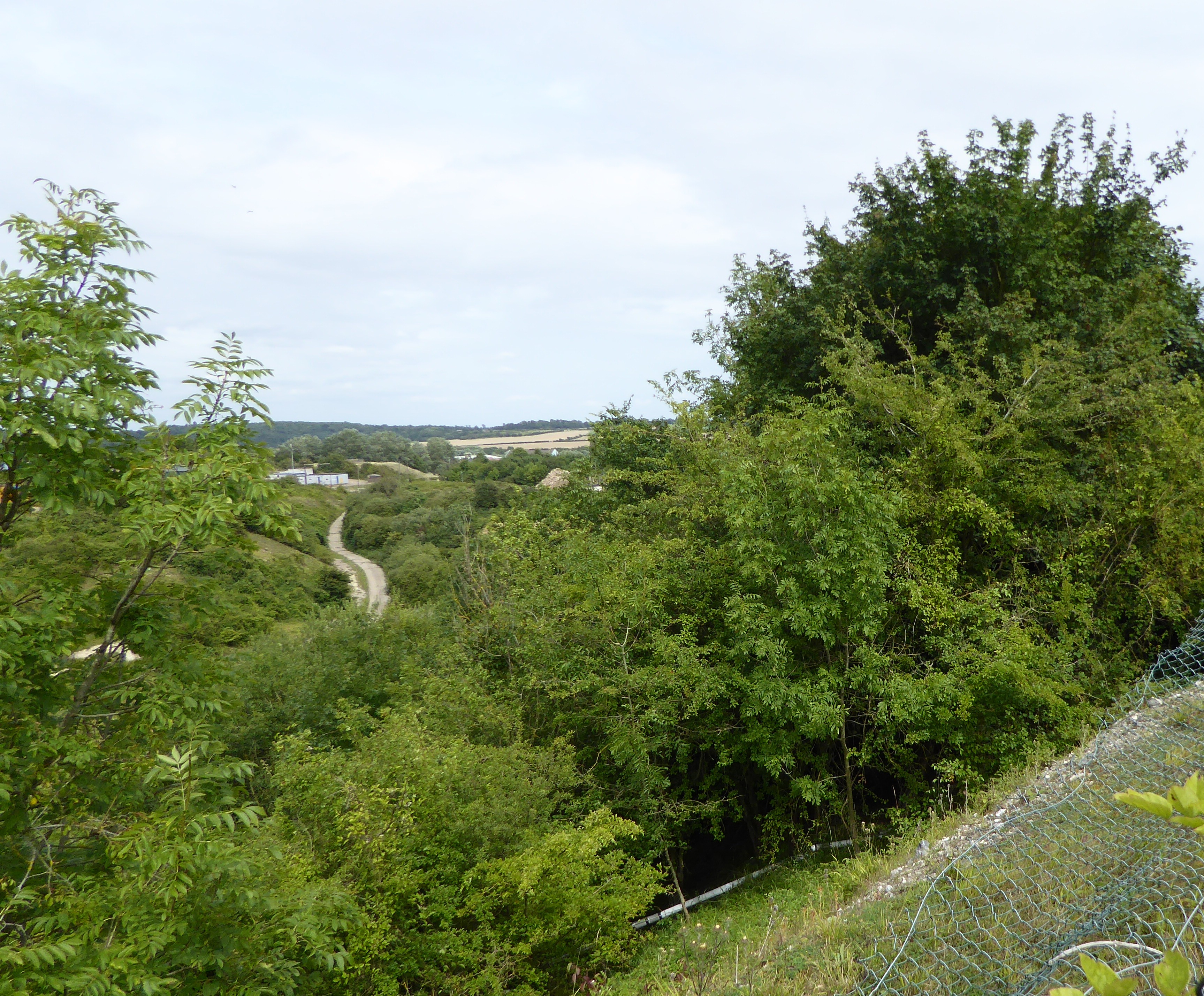
Blackacre Hill is a prominent geographical feature located in the county of Suffolk, England. Situated near the village of Blackacre, this hill is renowned for its stunning natural beauty and panoramic views of the surrounding countryside. Rising to an elevation of approximately 200 meters, it is often referred to as Blackacre Mountain due to its height and steep slopes.
The hill is composed of a mixture of various rock types, including sandstone and chalk, which contribute to its distinctive appearance. The sandstone formations can be observed in certain areas, creating an interesting geological landscape. The hill's summit is adorned with lush vegetation, including grassland and scattered trees, providing a habitat for a diverse range of plant and animal species.
Blackacre Hill is a popular destination for outdoor enthusiasts, offering opportunities for hiking, nature walks, and photography. The well-maintained footpaths that wind their way up the hill provide access for visitors to explore its scenic beauty. On clear days, the hill provides breathtaking vistas of the surrounding countryside, with rolling hills, picturesque villages, and farmland stretching as far as the eye can see.
The hill also holds historical significance, with remnants of an ancient settlement discovered in its vicinity. Archaeological excavations have revealed evidence of human activity dating back thousands of years, including pottery shards and tools. These findings contribute to our understanding of the region's past and the lives of its early inhabitants.
Overall, Blackacre Hill is a captivating natural landmark that offers a blend of natural beauty, recreational opportunities, and cultural heritage, making it a cherished destination for locals and visitors alike.
If you have any feedback on the listing, please let us know in the comments section below.
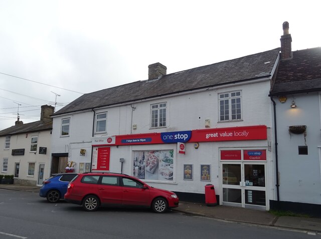
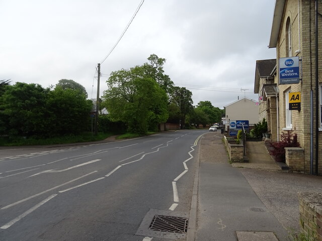
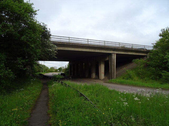
Blackacre Hill Images
Images are sourced within 2km of 52.105189/1.089845 or Grid Reference TM1149. Thanks to Geograph Open Source API. All images are credited.


Blackacre Hill is located at Grid Ref: TM1149 (Lat: 52.105189, Lng: 1.089845)
Administrative County: Suffolk
District: Mid Suffolk
Police Authority: Suffolk
What 3 Words
///could.dimes.ever. Near Claydon, Suffolk
Nearby Locations
Related Wikis
Great Blakenham Pit
Great Blakenham Pit is a 2.2-hectare (5.4-acre) geological Site of Special Scientific Interest south of Great Blakenham in Suffolk. It is a Geological...

Claydon railway station (Suffolk)
Claydon railway station was a station in Great Blakenham, Suffolk. It closed to passengers in 1963. The goods facility for Blue Circle Cement, British...
Great Blakenham
Great Blakenham is a village and civil parish in the Mid Suffolk district of Suffolk in eastern England located near the town of Ipswich. An energy from...
Little Blakenham Pit
Little Blakenham Pit is a 3.4-hectare (8.4-acre) biological Site of Special Scientific Interest in Little Blakenham in Suffolk.A 127 metre long tunnel...
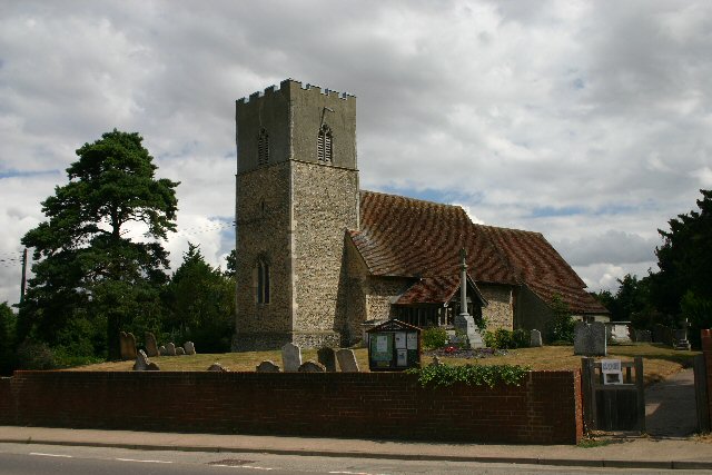
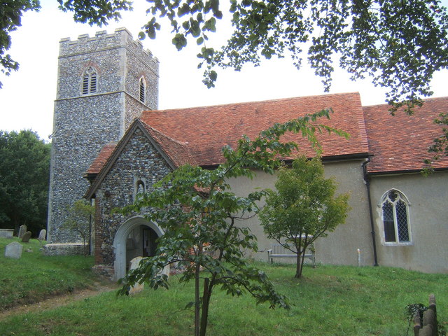
St Mary's Church, Great Blakenham
St Mary's Church is located in the village of Great Blakenham near Ipswich. It is an active Anglican parish church in the deanery of Bosmere, part of the...

Claydon, Suffolk
Claydon is a village just north of Ipswich in Suffolk, England. The meaning of the name is "clay-on-the-hill". The village gives its name to the hundred...
Little Blakenham
Little Blakenham is a village and civil parish in the Mid Suffolk district of Suffolk in eastern England. Located around two miles north-west of Ipswich...
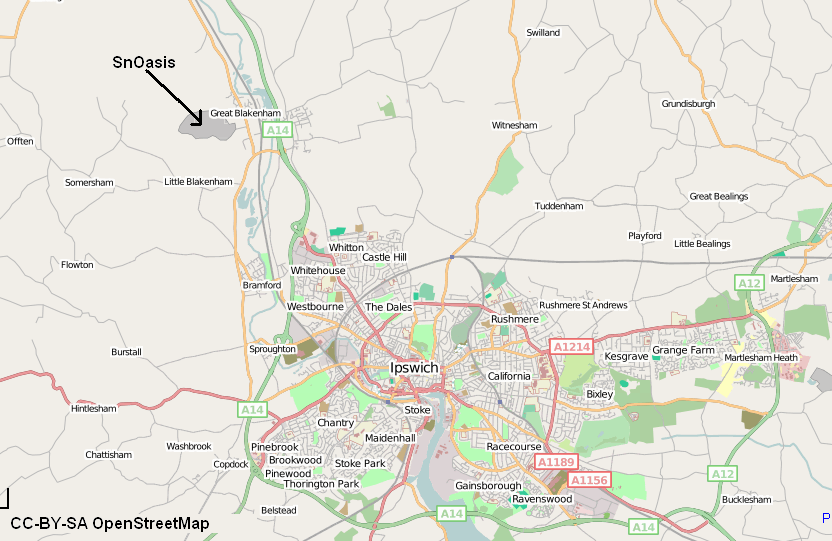
Valley Ridge (Winter sports resort)
Valley Ridge (formerly known as SnOasis) was a proposed ski and sports resort in Great Blakenham near Ipswich, Suffolk, England. In March 2021, the plan...
Nearby Amenities
Located within 500m of 52.105189,1.089845Have you been to Blackacre Hill?
Leave your review of Blackacre Hill below (or comments, questions and feedback).