Constitution Hill
Hill, Mountain in Norfolk Broadland
England
Constitution Hill
Constitution Hill is a prominent landmark located in Norfolk, England. Situated near the town of Great Yarmouth, this hill stands at an elevation of approximately 18 meters (60 feet) above sea level. While not particularly tall, Constitution Hill holds historical significance and offers breathtaking views of the surrounding area.
The name "Constitution Hill" dates back to the 19th century, when it was named after the British Constitution, which was a significant symbol of the time. The hill is known for its distinct shape, resembling a cone or a small mountain. It is primarily composed of a mixture of sand and clay, giving it a unique texture.
At the peak of Constitution Hill, visitors can enjoy panoramic views of the surrounding countryside, including the picturesque Norfolk Broads, a network of rivers and lakes. On clear days, it is even possible to see the North Sea in the distance. The hill is a popular destination for hikers, nature enthusiasts, and those seeking a peaceful retreat.
In addition to its natural beauty, Constitution Hill also holds historical importance. During World War II, the hill was used as a strategic observation point by the British military due to its advantageous position. Remnants of wartime structures, including concrete bunkers, can still be found on the hill, serving as a reminder of its past.
Overall, Constitution Hill offers visitors a chance to experience both natural beauty and historical significance. Whether taking in the stunning views or exploring its wartime remnants, this Norfolk landmark is a must-visit destination for locals and tourists alike.
If you have any feedback on the listing, please let us know in the comments section below.
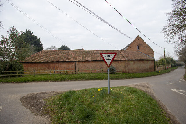
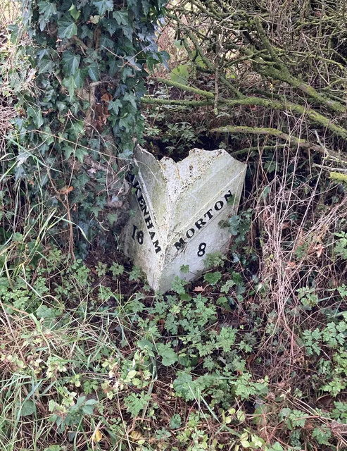
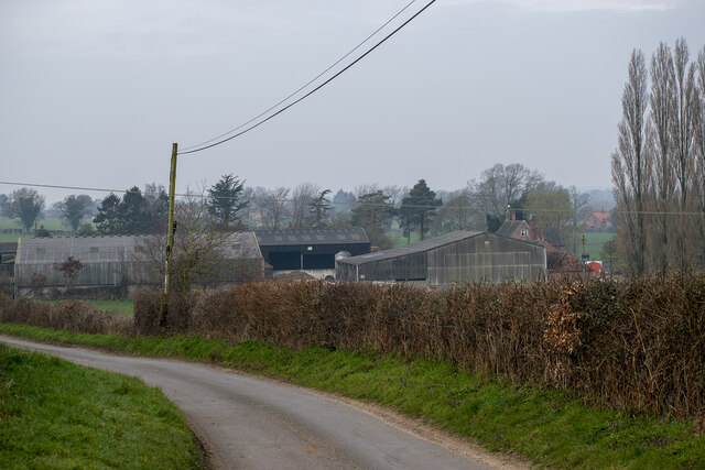
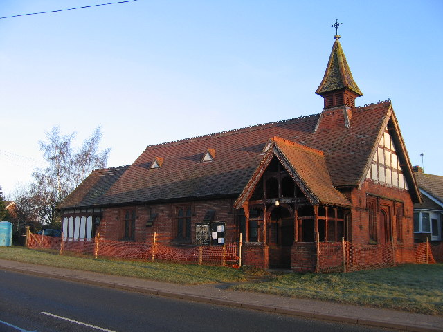
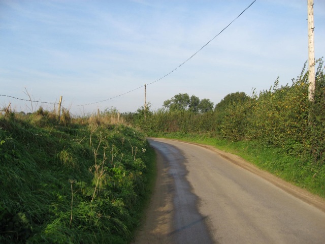
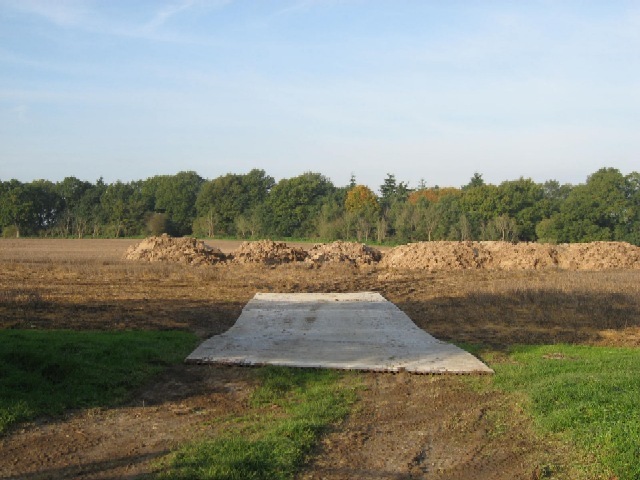
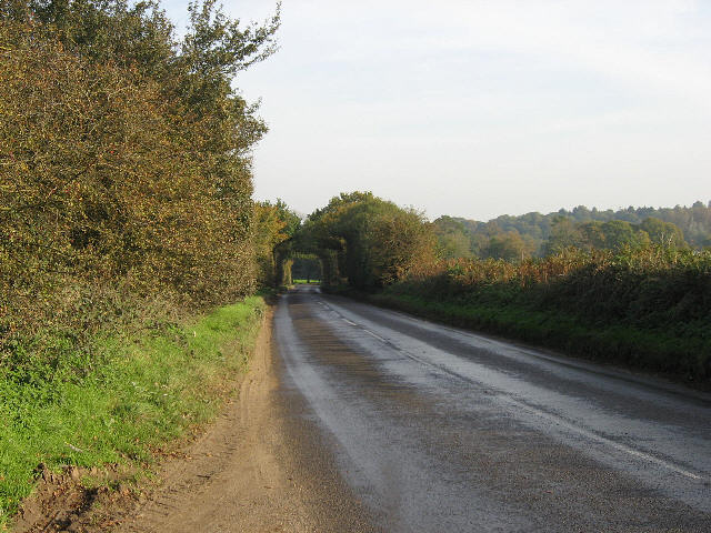
Constitution Hill Images
Images are sourced within 2km of 52.710764/1.1205534 or Grid Reference TG1017. Thanks to Geograph Open Source API. All images are credited.


Constitution Hill is located at Grid Ref: TG1017 (Lat: 52.710764, Lng: 1.1205534)
Administrative County: Norfolk
District: Broadland
Police Authority: Norfolk
What 3 Words
///hobble.flies.composes. Near Reepham, Norfolk
Related Wikis

Weston Longville
Weston Longville is a civil parish in the English county of Norfolk, approximately 8 miles (13 km) north-west of Norwich. Its name is derived from the...

Morton on the Hill
Morton on the Hill is a small but scattered village and civil parish in the English county of Norfolk, about 8 miles (13 km) north-west of Norwich. The...

Lenwade
Lenwade is a village in the civil parish of Great Witchingham, Norfolk, situated in the Wensum Valley adjacent to the A1067 road 14 miles (23 km) south...
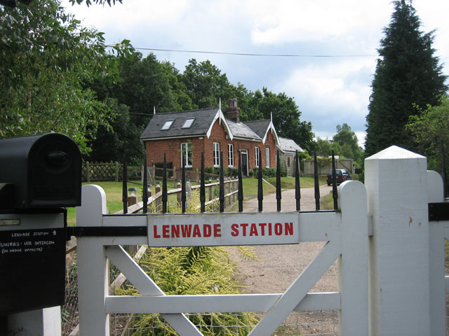
Lenwade railway station
Lenwade railway station was a railway station in North Norfolk, England. It was built by the Lynn and Fakenham Railway Company in 1882 and taken over by...

River Ainse (or Eyn)
The River Ainse (or Eyn) is a small river in the county of Norfolk. It is a tributary of the River Wensum which it merges with at Lenwade. The River Ainse...

Attlebridge
Attlebridge is a village and civil parish in the English county of Norfolk. It is situated about 8 miles (13 km) north-west of Norwich, where the A1067...

Attlebridge railway station
Attlebridge railway station is a closed station in Norfolk, England. It served the small village of Attlebridge. It was constructed by the Midland and...

Alderford Common
Alderford Common is a 17.5-hectare (43-acre) biological Site of Special Scientific Interest north-west of Norwich in Norfolk.The common has a thin layer...
Related Videos

Glamping in Norfolk | Round the Woods
This year we took a trip to Norfolk – my very first time in the county (well, that I can remember at least)! Norfolk had been on my UK ...

Roarr Dinosaur Adventure Norfolk 2020 Travel Vlog UK travel
AD/press trip Our short break to the beautiful Norfolk and a day spent at Roarr Dinosaur Adventure. Welcome to our Channel!

Nearby Amenities
Located within 500m of 52.710764,1.1205534Have you been to Constitution Hill?
Leave your review of Constitution Hill below (or comments, questions and feedback).