Lenwade Belt
Wood, Forest in Norfolk Broadland
England
Lenwade Belt
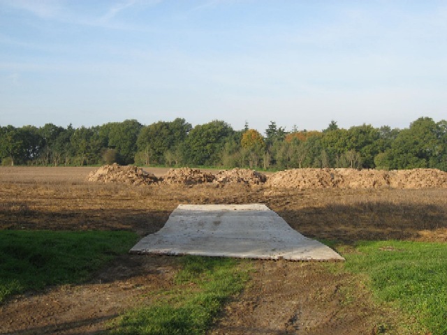
Lenwade Belt, located in the county of Norfolk, England, is a picturesque area known for its beautiful woodlands and forests. Situated near the village of Lenwade, the belt covers a significant area, providing a haven for wildlife and a peaceful retreat for nature enthusiasts.
The woodlands within Lenwade Belt are diverse and abundant, with a mixture of deciduous and coniferous trees creating a rich and varied ecosystem. Ancient oaks, ash trees, and beech trees dominate the landscape, their towering canopies providing shade and shelter for an array of wildlife. Bluebells and other wildflowers carpet the forest floor during the spring, creating a vibrant and colorful display.
The forest is home to a wide range of animal species. Visitors may spot deer grazing in the meadows, rabbits darting through the undergrowth, and squirrels scampering up the trees. Birdwatchers can delight in the numerous bird species that inhabit the area, including woodpeckers, owls, and various songbirds.
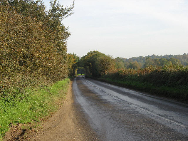
Lenwade Belt offers several walking trails, allowing visitors to explore the enchanting woodland at their leisure. The peaceful atmosphere and tranquil surroundings make it an ideal destination for hikers, nature lovers, and those seeking solace in the natural world.
The management of Lenwade Belt is focused on conservation and preservation, ensuring the long-term sustainability of the forest. Efforts to maintain the area's biodiversity and protect its fragile ecosystems are paramount. Through these conservation initiatives, Lenwade Belt remains a haven for wildlife and a cherished natural treasure for both locals and visitors alike.
If you have any feedback on the listing, please let us know in the comments section below.
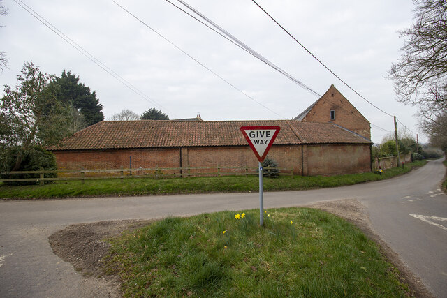
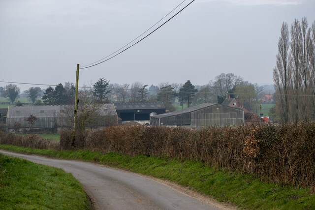
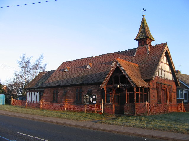
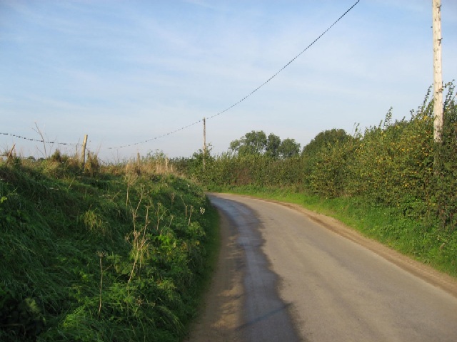
Lenwade Belt Images
Images are sourced within 2km of 52.716658/1.1153023 or Grid Reference TG1017. Thanks to Geograph Open Source API. All images are credited.


Lenwade Belt is located at Grid Ref: TG1017 (Lat: 52.716658, Lng: 1.1153023)
Administrative County: Norfolk
District: Broadland
Police Authority: Norfolk
What 3 Words
///thus.reworked.respond. Near Reepham, Norfolk
Related Wikis

Lenwade
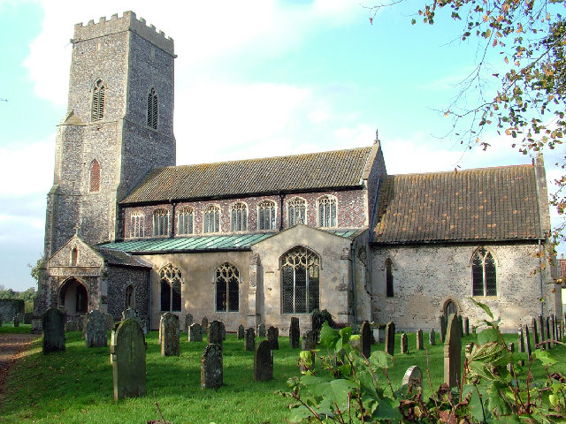
Lenwade is a village in the civil parish of Great Witchingham, Norfolk, situated in the Wensum Valley adjacent to the A1067 road 14 miles (23 km) south...
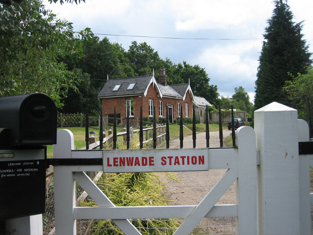
Lenwade railway station
Lenwade railway station was a railway station in North Norfolk, England. It was built by the Lynn and Fakenham Railway Company in 1882 and taken over by...

River Ainse (or Eyn)
The River Ainse (or Eyn) is a small river in the county of Norfolk. It is a tributary of the River Wensum which it merges with at Lenwade. The River Ainse...
Great Witchingham
Great Witchingham is a village and civil parish in the English county of Norfolk about 11 miles (18 km) north-west of Norwich. It covers an area of 9.12...

Morton on the Hill
Morton on the Hill is a small but scattered village and civil parish in the English county of Norfolk, about 8 miles (13 km) north-west of Norwich. The...

Weston Longville
Weston Longville is a civil parish in the English county of Norfolk, approximately 8 miles (13 km) north-west of Norwich. Its name is derived from the...

Alderford
Alderford is a village and civil parish in the English county of Norfolk, about ten miles (16 km) north-west of Norwich. The name 'Alderford' derives from...

Alderford Common
Alderford Common is a 17.5-hectare (43-acre) biological Site of Special Scientific Interest north-west of Norwich in Norfolk.The common has a thin layer...
Nearby Amenities
Located within 500m of 52.716658,1.1153023Have you been to Lenwade Belt?
Leave your review of Lenwade Belt below (or comments, questions and feedback).