Kirton Campus

Settlement in West Lothian

Scotland

Kirton Campus

Short Tunnel under B7015 A railway line used to run here from the early 1940s to the early 1960s, transporting shale mined at Mid Breich Pits nos 1 and 2, a few hundred yards North of here, to Westwood Oil Works, a few hundred yards South. The short railway line ran under the road at this point according to contemporary OS maps. The tunnel is essentially just a bricked-up bridge, with a square hole cut into one of the bricked-up ends for no obvious reason. The bottles and odd bits of rubbish must have washed in through the hole during heavy rain; nobody would come here for fun, however desperate - the rain has also washed in a great deal of sludgy mud.
It is quite hard to make out in the picture - mobile phones still don't come close to proper cameras when using the flash - but there is a narrow opening after the lit-up section of wall on the right. This gives access to an identical tunnel, so presumably there were actually two tracks running between the pits and the oil works - the empties probably got sent back on a separate track. Both tunnels are around five and a half feet high and wide, and thirty-odd feet long - the other one is fully blocked off.
Short Tunnel under B7015 Credit: Ian Dodds

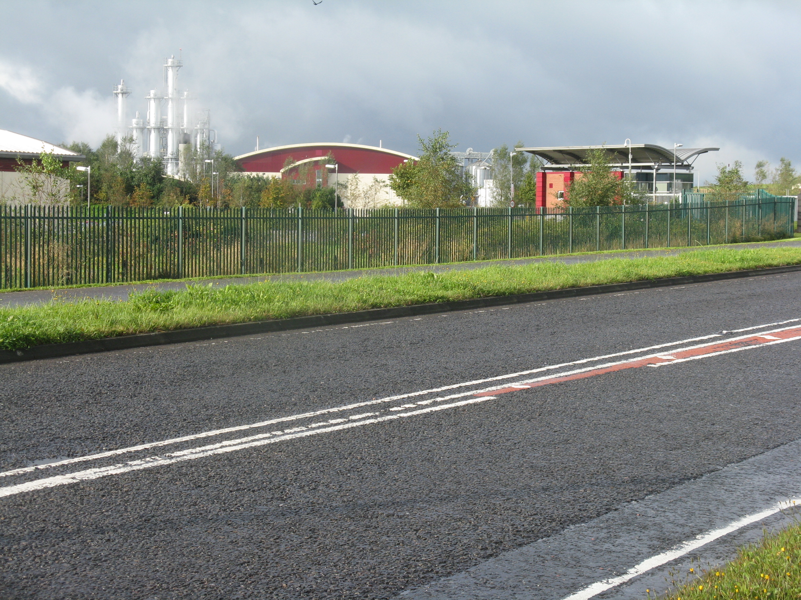
Kirton Campus is a small yet vibrant area located in West Lothian, Scotland. Situated close to the town of Livingston, it boasts a mix of residential and commercial spaces, making it an appealing place for both residents and businesses.

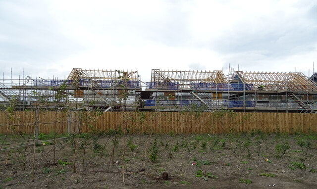
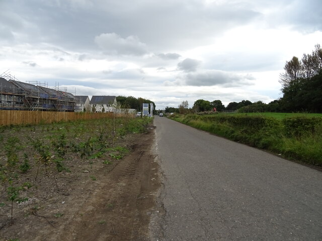
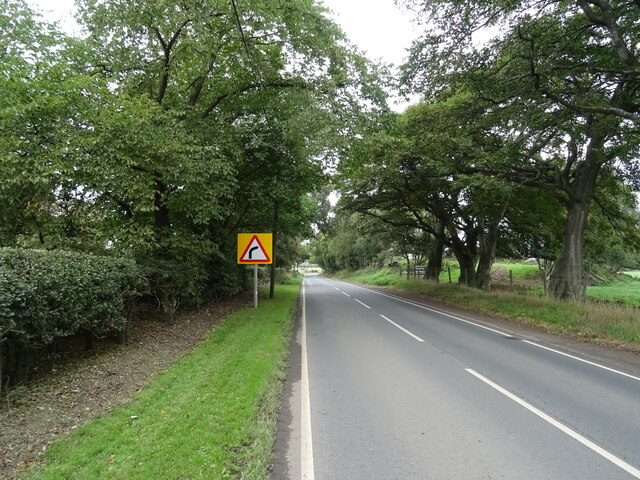
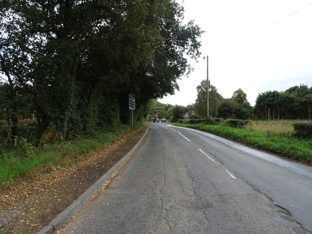
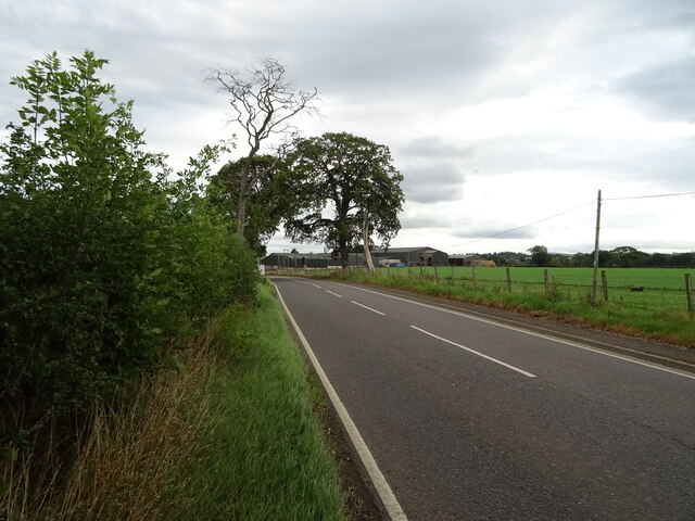
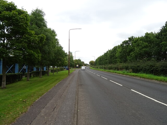
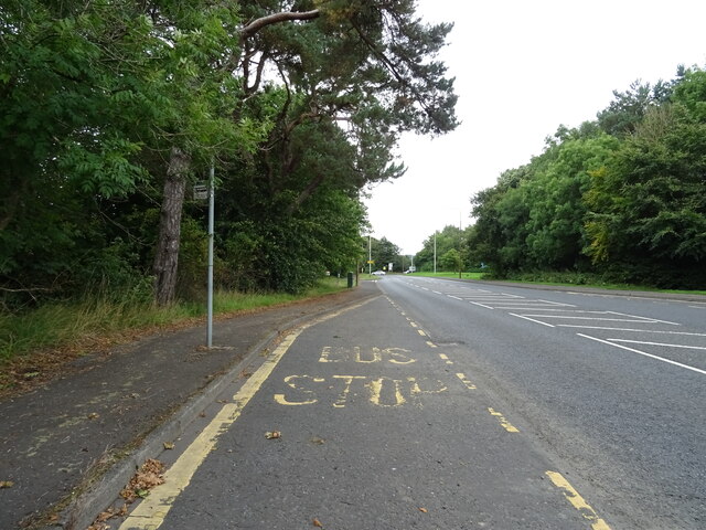
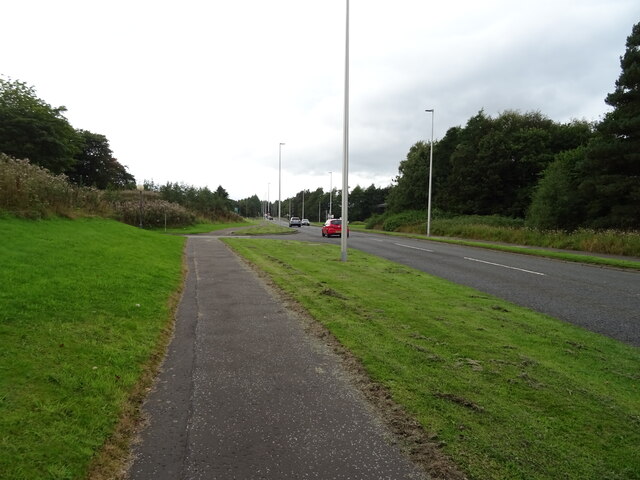
The campus is known for its modern infrastructure, with well-maintained roads and a range of amenities available to its inhabitants. The residential area consists of a variety of housing options, including detached houses, semi-detached houses, and apartments, providing accommodation suitable for different lifestyles and budgets. The neighborhood is well-connected to other parts of West Lothian, with easy access to public transportation and major roads.

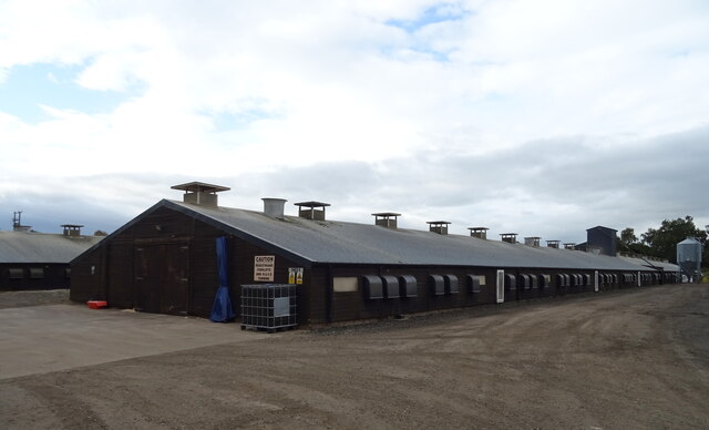
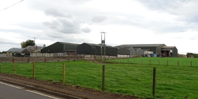
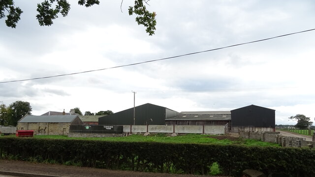
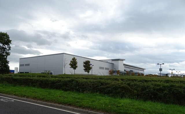
The commercial aspect of Kirton Campus is equally impressive. The area is home to several businesses, including offices, retail outlets, and restaurants, providing employment opportunities for local residents. Additionally, the campus benefits from being in close proximity to major retail parks, offering a wide range of shopping experiences.

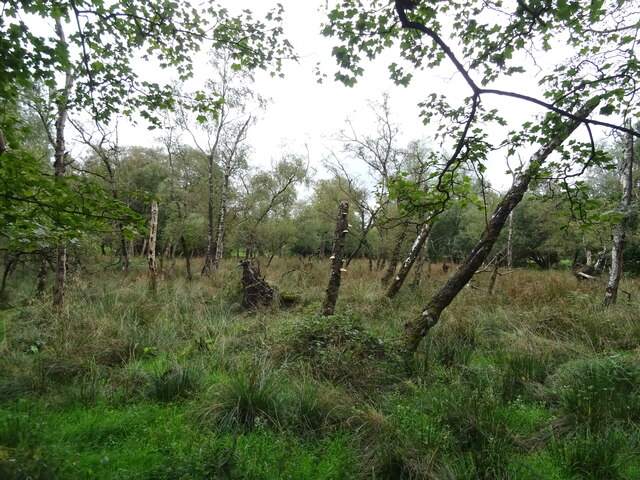
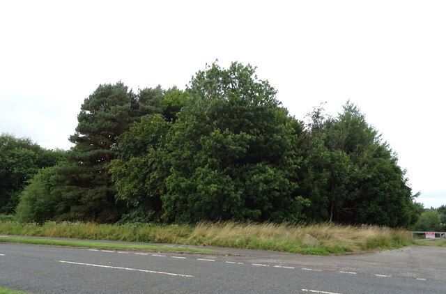
Nature enthusiasts are also catered for in Kirton Campus, as it is surrounded by beautiful green spaces and parks. Residents can enjoy leisurely walks, picnics, or engage in outdoor activities, making it an ideal place for families and individuals who appreciate the outdoors.

Overall, Kirton Campus offers a well-rounded living experience, with a mix of residential, commercial, and recreational facilities. Its convenient location, coupled with its modern amenities, makes it an attractive place to live, work, and play in West Lothian.

If you have any feedback on the listing, please let us know in the comments section below.

Kirton Campus Images

Images are sourced within 2km of 55.877154/-3.5679575 or Grid Reference NT0266. Thanks to Geograph Open Source API. All images are credited.

Short Tunnel under B7015 A railway line used to run here from the early 1940s to the early 1960s, transporting shale mined at Mid Breich Pits nos 1 and 2, a few hundred yards North of here, to Westwood Oil Works, a few hundred yards South. The short railway line ran under the road at this point according to contemporary OS maps. The tunnel is essentially just a bricked-up bridge, with a square hole cut into one of the bricked-up ends for no obvious reason. The bottles and odd bits of rubbish must have washed in through the hole during heavy rain; nobody would come here for fun, however desperate - the rain has also washed in a great deal of sludgy mud.
It is quite hard to make out in the picture - mobile phones still don't come close to proper cameras when using the flash - but there is a narrow opening after the lit-up section of wall on the right. This gives access to an identical tunnel, so presumably there were actually two tracks running between the pits and the oil works - the empties probably got sent back on a separate track. Both tunnels are around five and a half feet high and wide, and thirty-odd feet long - the other one is fully blocked off.
Short Tunnel under B7015
A railway line used to run here from the early 1940s to the early 1960s, transporting shale mined at Mid Breich Pits nos 1 and 2, a few hundred yards North of here, to Westwood Oil Works, a few hundred yards South. The short railway line ran under the road at this point according to contemporary OS maps. The tunnel is essentially just a bricked-up bridge, with a square hole cut into one of the bricked-up ends for no obvious reason. The bottles and odd bits of rubbish must have washed in through the hole during heavy rain; nobody would come here for fun, however desperate - the rain has also washed in a great deal of sludgy mud. It is quite hard to make out in the picture - mobile phones still don't come close to proper cameras when using the flash - but there is a narrow opening after the lit-up section of wall on the right. This gives access to an identical tunnel, so presumably there were actually two tracks running between the pits and the oil works - the empties probably got sent back on a separate track. Both tunnels are around five and a half feet high and wide, and thirty-odd feet long - the other one is fully blocked off.
New housing development,  Polbeth Road
New housing development, Polbeth Road
Polbeth Road Towards Polbeth.
New housing being built on the left.
Polbeth Road
Towards Polbeth. New housing being built on the left.
Grazing near the Breich Water Towards the Five Sisters Bing.
Grazing near the Breich Water
Towards the Five Sisters Bing.
Mossend towards Livingston Junction with Polbeth Road.
Mossend towards Livingston
Junction with Polbeth Road.
Poultry farm, Stepend
Woodland, Stepend
Woodland, Stepend
Minor road, Stepend Towards Livingston.
Minor road, Stepend
Towards Livingston.
B7015, Stepend Towards Fauldhouse.
B7015, Stepend
Towards Fauldhouse.
Stubble field near Gavieside Off the B7015.
Stubble field near Gavieside
Off the B7015.
B7015 towards Livingston
Gavieside Farm
Gavieside Farm
Gavieside Farm
Gavieside Farm
Alba Business Park
Alba Business Park
B7015 towards Livingston
Woodland beside the B7015, Kirkton
Bus stop on the B7015
Path beside Simpson Parkway (B7015)
Show me another place!

Kirton Campus is located at Grid Ref: NT0266 (Lat: 55.877154, Lng: -3.5679575)

Unitary Authority: West Lothian

Police Authority: The Lothians and Scottish Borders

What 3 Words

///really.thank.fills. Near Seafield, West Lothian

Related Wikis

Seafield, West Lothian

Seafield is a small village in West Lothian, Scotland. Seafield lies 1+1⁄4 miles (2.0 km) east of Blackburn, 2 miles (3.2 km) southeast of Bathgate (grid...

Starlaw distillery

Starlaw distillery (sometimes known as Glen Turner distillery) is a grain whisky distillery located at Bathgate in West Lothian, Scotland. The distillery...

Almond Valley Light Railway

The Almond Valley Light Railway is a 2 ft 6 in (762 mm) narrow gauge heritage railway running at the Almond Valley Heritage Trust site at Livingston, Scotland...

Museum of the Scottish Shale Oil Industry

The Museum of the Scottish Shale Oil Industry was created in 1990, to preserve the history of the shale industry in West Lothian and beyond. It is sited...

Nearby Amenities

Located within 500m of 55.877154,-3.5679575
Ford: yes
Lat/Long: 55.8767784/-3.5745098
The data included in this document is from www.openstreetmap.org. The data is made available under ODbL.

Have you been to Kirton Campus?

Leave your review of Kirton Campus below (or comments, questions and feedback).