Kettle Hill
Hill, Mountain in Norfolk North Norfolk
England
Kettle Hill

Kettle Hill is a small hill located in the county of Norfolk, England. Situated in the eastern part of the country, Norfolk is known for its diverse landscape, which includes rolling hills, marshlands, and beautiful coastline. Kettle Hill stands out among the relatively flat terrain, providing a modest elevation and scenic views of the surrounding countryside.
Although Kettle Hill is not classified as a mountain, it is one of the higher points in Norfolk, reaching an elevation of around 100 meters (328 feet) above sea level. The hill is believed to have been formed by glacial action during the last Ice Age, which sculpted the landscape and left behind distinctive features like Kettle Hill.
The hill is covered in lush greenery, with grassy slopes and scattered trees dotting its surface. It has become a popular spot for outdoor activities such as hiking and picnicking, attracting both locals and tourists alike. The summit offers panoramic views of the surrounding area, including nearby villages, farmland, and the distant coastline.
Kettle Hill is also known for its historical significance. It played a role in various military operations throughout history, including during World War II when it was used as a lookout point and a strategic position. Today, visitors can still see remnants of military structures and fortifications from that time.
Overall, Kettle Hill is a charming natural landmark in Norfolk, offering visitors both natural beauty and a glimpse into the region's rich history.
If you have any feedback on the listing, please let us know in the comments section below.
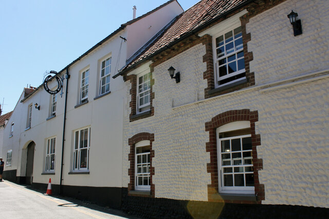
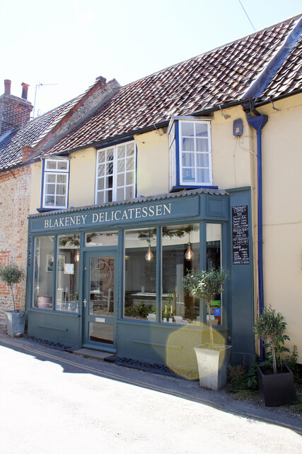
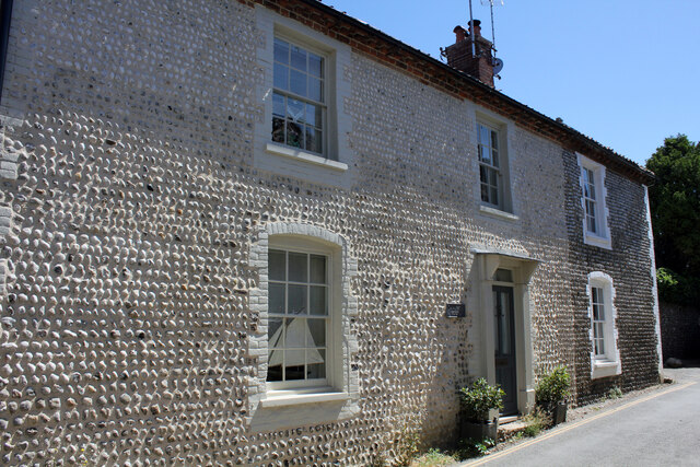
Kettle Hill Images
Images are sourced within 2km of 52.948216/1.0019664 or Grid Reference TG0143. Thanks to Geograph Open Source API. All images are credited.


Kettle Hill is located at Grid Ref: TG0143 (Lat: 52.948216, Lng: 1.0019664)
Administrative County: Norfolk
District: North Norfolk
Police Authority: Norfolk
What 3 Words
///sketching.wove.motion. Near Wells-next-the-Sea, Norfolk
Nearby Locations
Related Wikis
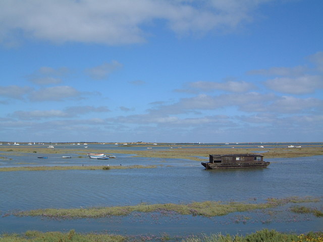
North Norfolk Coast Site of Special Scientific Interest
The North Norfolk Coast Site of Special Scientific Interest (SSSI) is an area of European importance for wildlife in Norfolk, England. It comprises 7,700...

Wiveton Downs
Wiveton Downs is a 28.9-hectare (71-acre) biological and geological Site of Special Scientific Interest at Wiveton, west of Sheringham in the English county...

Morston
Morston is a village and civil parish in the English county of Norfolk. It covers an area of 8.68 km2 (3.35 sq mi) and had a population of 86 in 42 households...

Blakeney, Norfolk
Blakeney is a coastal village and civil parish in the English county of Norfolk. Blakeney lies within the Norfolk Coast AONB (Area of Outstanding Natural...
Nearby Amenities
Located within 500m of 52.948216,1.0019664Have you been to Kettle Hill?
Leave your review of Kettle Hill below (or comments, questions and feedback).