Morston Downs
Downs, Moorland in Norfolk North Norfolk
England
Morston Downs
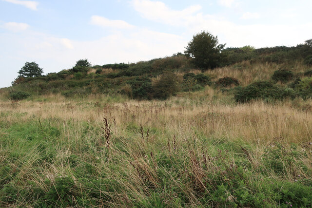
Morston Downs, located in Norfolk, England, is a picturesque area known for its rolling hills and open moorland. Covering an expansive area, the downs are a popular destination for nature enthusiasts and outdoor adventurers alike. The downs are situated on the north coast of Norfolk, offering breathtaking views of the surrounding countryside and the nearby coastline.
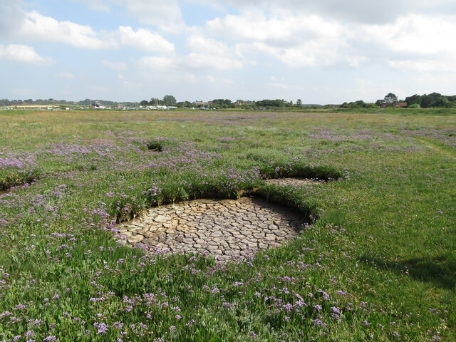
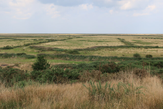
The landscape of Morston Downs is characterized by its undulating hills, covered in lush grasses and scattered with wildflowers during the warmer months. The downs are home to a diverse range of flora and fauna, including heather, gorse, and various species of birds and butterflies. This natural diversity makes it an ideal location for birdwatching and wildlife spotting.
The area is also renowned for its extensive network of walking trails and footpaths, attracting hikers and ramblers who seek to explore the stunning scenery. The downs offer a variety of routes, catering to all levels of fitness and experience. From leisurely strolls to more challenging hikes, visitors can enjoy exploring the vast expanse of moorland.
Morston Downs provide a tranquil retreat from the hustle and bustle of city life, offering visitors the chance to connect with nature and enjoy the peaceful surroundings. The downs are a designated Area of Outstanding Natural Beauty, ensuring their preservation and protection for future generations to enjoy.
In addition to its natural beauty, Morston Downs is also known for its historical significance. The area is dotted with ancient burial mounds and other archaeological sites, providing a glimpse into the rich history of the region.
Overall, Morston Downs in Norfolk is a captivating destination that offers a blend of natural wonders, outdoor activities, and historical intrigue, making it a must-visit location for nature enthusiasts and those seeking a peaceful escape.
If you have any feedback on the listing, please let us know in the comments section below.
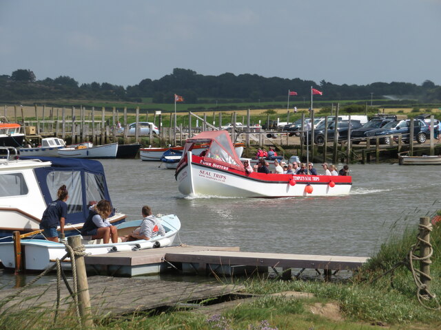
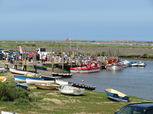
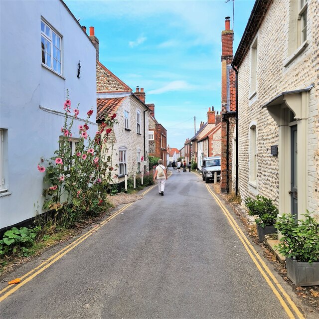
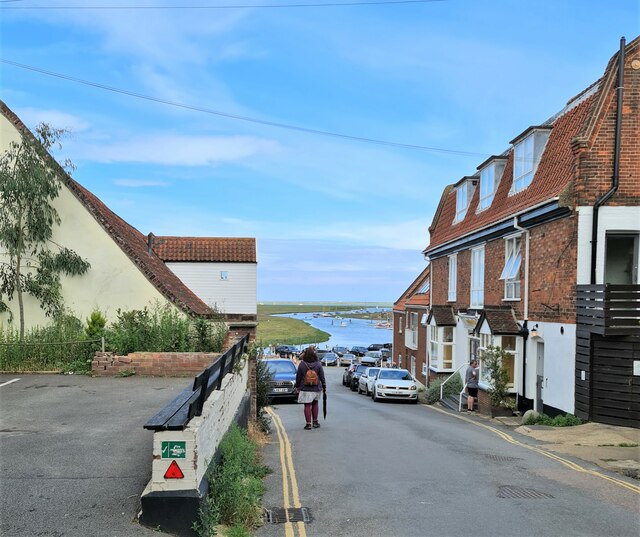
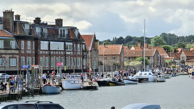
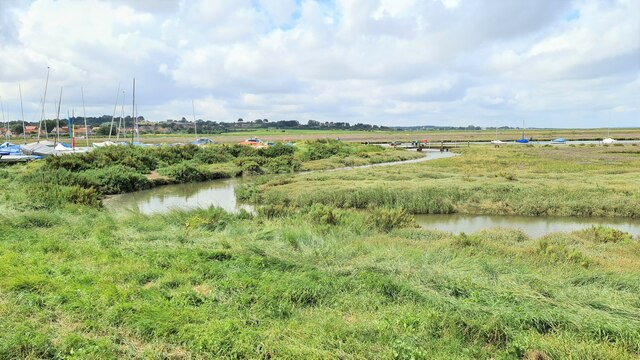
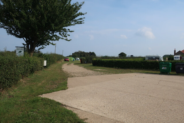
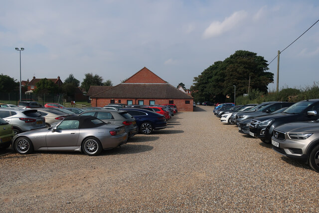
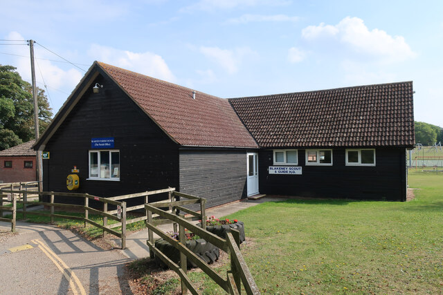
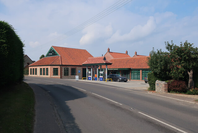
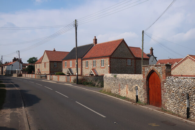
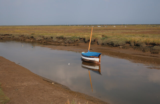
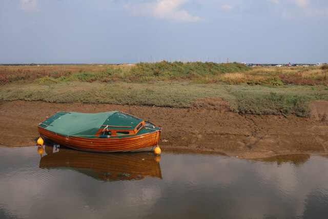
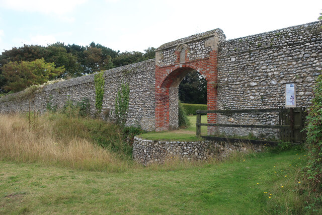
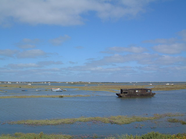
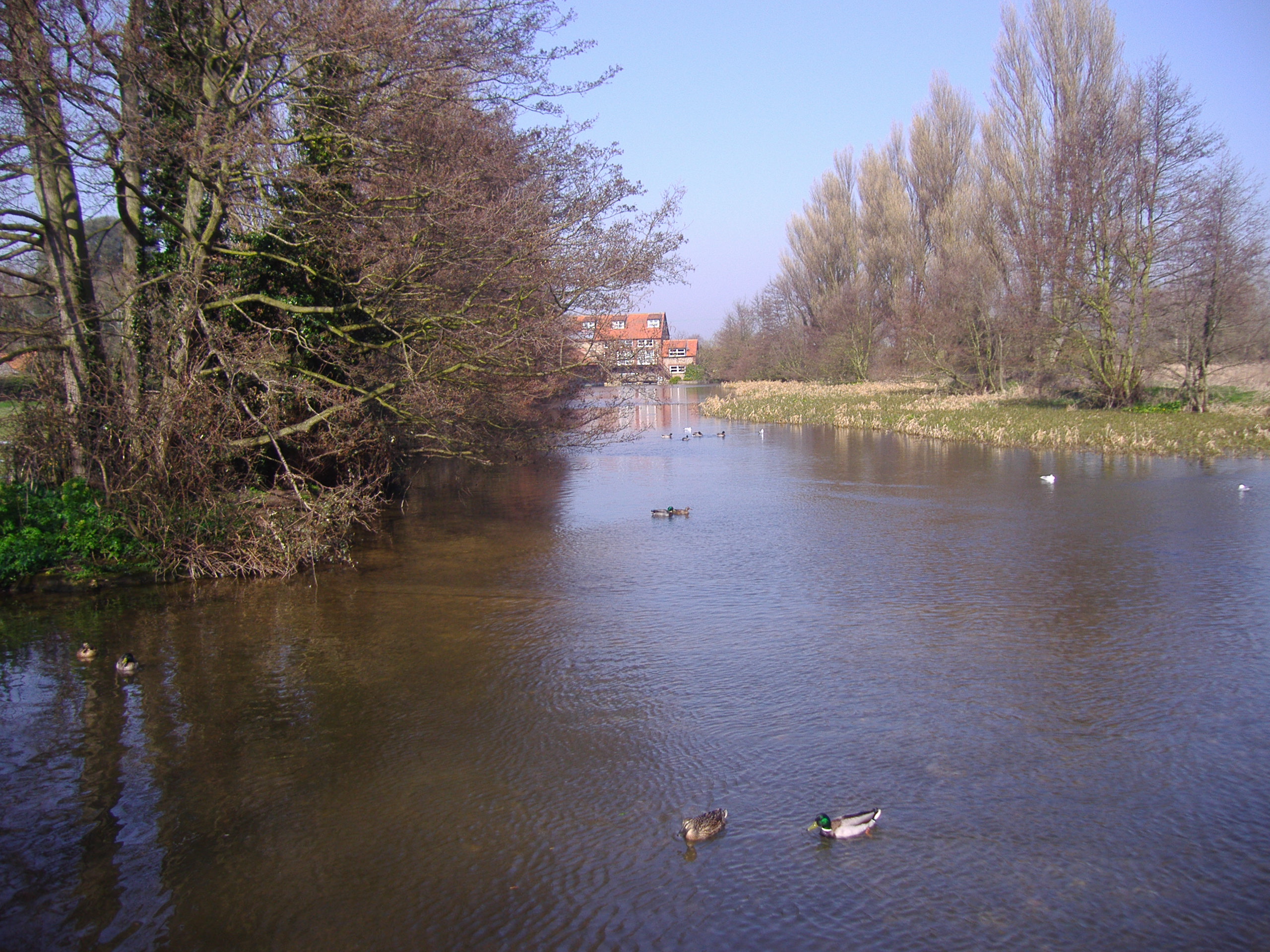
Morston Downs Images
Images are sourced within 2km of 52.954465/1.0002106 or Grid Reference TG0143. Thanks to Geograph Open Source API. All images are credited.

Morston Downs is located at Grid Ref: TG0143 (Lat: 52.954465, Lng: 1.0002106)
Administrative County: Norfolk
District: North Norfolk
Police Authority: Norfolk
What 3 Words
///prove.prouder.prevented. Near Wells-next-the-Sea, Norfolk
Nearby Locations
Related Wikis
North Norfolk Coast Site of Special Scientific Interest
The North Norfolk Coast Site of Special Scientific Interest (SSSI) is an area of European importance for wildlife in Norfolk, England. It comprises 7,700...

Morston
Morston is a village and civil parish in the English county of Norfolk. It covers an area of 8.68 km2 (3.35 sq mi) and had a population of 86 in 42 households...

Blakeney Guildhall
Blakeney Guildhall is a building in the coastal village of Blakeney in the north of the county of Norfolk. The property is in the care of English Heritage...

Blakeney, Norfolk
Blakeney is a coastal village and civil parish in the English county of Norfolk. Blakeney lies within the Norfolk Coast AONB (Area of Outstanding Natural...

Wiveton Downs
Wiveton Downs is a 28.9-hectare (71-acre) biological and geological Site of Special Scientific Interest at Wiveton, west of Sheringham in the English county...

Blakeney Windmill
Blakeney Tower Windmill, built in 1769, is located on Friar Farm just to the east of the village of Blakeney in the English county of Norfolk. The mill...

St Nicholas, Blakeney
St Nicholas is the Anglican parish church of Blakeney, Norfolk, in the deanery of Holt and the Diocese of Norwich. The church was founded in the 13th century...
River Glaven
The River Glaven in the eastern English county of Norfolk is 10.5 mi (16.9 km) long and flows through picturesque North Norfolk countryside to the North...
Nearby Amenities
Located within 500m of 52.954465,1.0002106Have you been to Morston Downs?
Leave your review of Morston Downs below (or comments, questions and feedback).