Cherry Hill

Hill, Mountain in Suffolk Babergh

England

Cherry Hill

St Margaret's church, Whatfield
St Margaret's church, Whatfield Credit: Christopher Hilton

Cherry Hill, Suffolk is a picturesque hill located in the county of Suffolk, England. Situated in the eastern part of the country, Cherry Hill is known for its stunning natural beauty and breathtaking views. It is a popular destination for nature enthusiasts, hikers, and those seeking a peaceful retreat.

Rising to an elevation of approximately 150 meters, Cherry Hill offers a gentle slope that makes it accessible to visitors of all ages and abilities. The hill is covered in lush green vegetation, with cherry trees scattered across its slopes, giving it its name. During springtime, the hill is adorned with vibrant blossoms, creating a stunning display of colors.

At the summit of Cherry Hill, visitors are rewarded with panoramic views of the surrounding countryside. On clear days, it is said that one can see as far as the coast, providing a glimpse of the North Sea. Many visitors choose to bring a picnic and enjoy the serene atmosphere while taking in the breathtaking vistas.

Cherry Hill is also home to a variety of wildlife, including birds, rabbits, and occasional deer sightings. The hill is a designated nature reserve, which ensures the preservation of its rich biodiversity.

Access to Cherry Hill is convenient, with designated parking areas and well-maintained footpaths leading to the summit. The hill attracts visitors year-round, with each season offering its unique charm and beauty. Whether one seeks a peaceful stroll, a challenging hike, or a moment of tranquility in nature, Cherry Hill in Suffolk provides an idyllic setting for all.

If you have any feedback on the listing, please let us know in the comments section below.
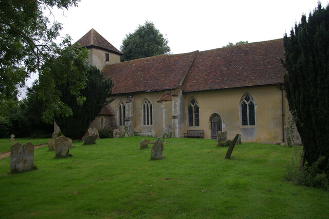
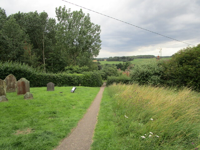
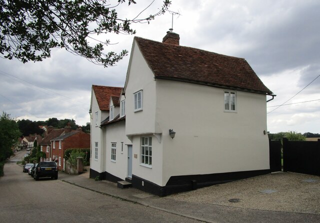
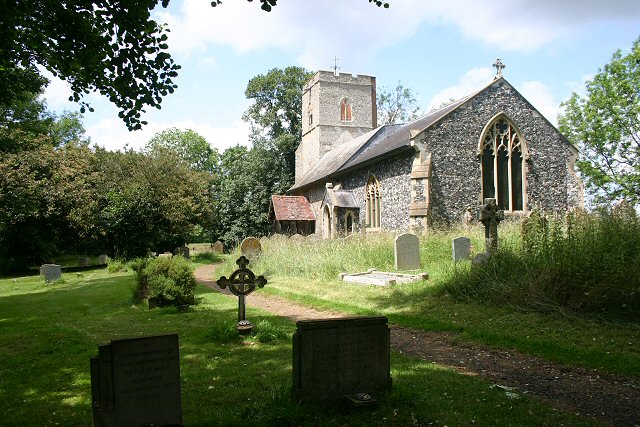
Cherry Hill Images

Images are sourced within 2km of 52.07374/0.93106734 or Grid Reference TM0045. Thanks to Geograph Open Source API. All images are credited.

St Margaret's church, Whatfield
The ford at Kersey The River Brett crosses the main street of the village.
The ford at Kersey
The River Brett crosses the main street of the village.
The churchyard at Kersey This churchyard has a numerous collection of iron grave markers of the early twentieth century. There were two local manufacturers of such markers - Hunt at the Atlas Works, Earls Colne, Essex and L Ward at Long Melford <span class="nowrap"><a title="https://industrial-archaeology.org/wp-content/uploads/2016/04/AIA-Bulletin-15-3-1988.pdf" rel="nofollow ugc noopener" href="https://industrial-archaeology.org/wp-content/uploads/2016/04/AIA-Bulletin-15-3-1988.pdf">Link</a><img style="margin-left:2px;" alt="External link" title="External link - shift click to open in new window" src="https://s1.geograph.org.uk/img/external.png" width="10" height="10"/></span>
The churchyard at Kersey
This churchyard has a numerous collection of iron grave markers of the early twentieth century. There were two local manufacturers of such markers - Hunt at the Atlas Works, Earls Colne, Essex and L Ward at Long Melford LinkExternal link
The Bell Inn, Kersey Dates from the fifteenth and sixteenth centuries <span class="nowrap"><a title="https://historicengland.org.uk/listing/the-list/list-entry/1285465?section=official-listing" rel="nofollow ugc noopener" href="https://historicengland.org.uk/listing/the-list/list-entry/1285465?section=official-listing">Link</a><img style="margin-left:2px;" alt="External link" title="External link - shift click to open in new window" src="https://s1.geograph.org.uk/img/external.png" width="10" height="10"/></span>
The Bell Inn, Kersey
Dates from the fifteenth and sixteenth centuries LinkExternal link
Carlton House, Kersey Datea from the sixteenth and seventeenth centuries <span class="nowrap"><a title="https://historicengland.org.uk/listing/the-list/list-entry/1037248?section=official-listing" rel="nofollow ugc noopener" href="https://historicengland.org.uk/listing/the-list/list-entry/1037248?section=official-listing">Link</a><img style="margin-left:2px;" alt="External link" title="External link - shift click to open in new window" src="https://s1.geograph.org.uk/img/external.png" width="10" height="10"/></span>
Carlton House, Kersey
Datea from the sixteenth and seventeenth centuries LinkExternal link
The River Brett at Kersey
River View, Kersey Of seventeenth century origin <span class="nowrap"><a title="https://historicengland.org.uk/listing/the-list/list-entry/1037234?section=official-listing" rel="nofollow ugc noopener" href="https://historicengland.org.uk/listing/the-list/list-entry/1037234?section=official-listing">Link</a><img style="margin-left:2px;" alt="External link" title="External link - shift click to open in new window" src="https://s1.geograph.org.uk/img/external.png" width="10" height="10"/></span>
River View, Kersey
Of seventeenth century origin LinkExternal link
Olde Drift House. Kersey Much altered house dating from the sixteenth century <span class="nowrap"><a title="https://historicengland.org.uk/listing/the-list/list-entry/1037235?section=official-listing" rel="nofollow ugc noopener" href="https://historicengland.org.uk/listing/the-list/list-entry/1037235?section=official-listing">Link</a><img style="margin-left:2px;" alt="External link" title="External link - shift click to open in new window" src="https://s1.geograph.org.uk/img/external.png" width="10" height="10"/></span>
Olde Drift House. Kersey
Much altered house dating from the sixteenth century LinkExternal link
7 Church Hill, Kersey Seventeenth century cottage <span class="nowrap"><a title="https://historicengland.org.uk/listing/the-list/list-entry/1037274?section=official-listing" rel="nofollow ugc noopener" href="https://historicengland.org.uk/listing/the-list/list-entry/1037274?section=official-listing">Link</a><img style="margin-left:2px;" alt="External link" title="External link - shift click to open in new window" src="https://s1.geograph.org.uk/img/external.png" width="10" height="10"/></span>
7 Church Hill, Kersey
Seventeenth century cottage LinkExternal link
Path and steps to the church, Kersey
Church Hill, Kersey
Church Hill, Kersey
St. Mary's church, Kersey The church largely dates from the fourteenth and fifteenth centuries <span class="nowrap"><a title="https://historicengland.org.uk/listing/the-list/list-entry/1351459?section=official-listing" rel="nofollow ugc noopener" href="https://historicengland.org.uk/listing/the-list/list-entry/1351459?section=official-listing">Link</a><img style="margin-left:2px;" alt="External link" title="External link - shift click to open in new window" src="https://s1.geograph.org.uk/img/external.png" width="10" height="10"/></span>
St. Mary's church, Kersey
The church largely dates from the fourteenth and fifteenth centuries LinkExternal link
Church Hill, Kersey
Church Hill, Kersey
Path through the churchyard, Kersey
The Little Manor, Kersey The oldest parts date to the fourteenth century <span class="nowrap"><a title="https://historicengland.org.uk/listing/the-list/list-entry/1351461?section=official-listing" rel="nofollow ugc noopener" href="https://historicengland.org.uk/listing/the-list/list-entry/1351461?section=official-listing">Link</a><img style="margin-left:2px;" alt="External link" title="External link - shift click to open in new window" src="https://s1.geograph.org.uk/img/external.png" width="10" height="10"/></span>
The Little Manor, Kersey
The oldest parts date to the fourteenth century LinkExternal link
Ley's House, Kersey A much altered timber framed house <span class="nowrap"><a title="https://historicengland.org.uk/listing/the-list/list-entry/1180354?section=official-listing" rel="nofollow ugc noopener" href="https://historicengland.org.uk/listing/the-list/list-entry/1180354?section=official-listing">Link</a><img style="margin-left:2px;" alt="External link" title="External link - shift click to open in new window" src="https://s1.geograph.org.uk/img/external.png" width="10" height="10"/></span>
Ley's House, Kersey
A much altered timber framed house LinkExternal link
The ford at Kersey With St Mary’s church beyond, at the summit of Church Hill.
The ford at Kersey
With St Mary’s church beyond, at the summit of Church Hill.
Show me another place!

Cherry Hill is located at Grid Ref: TM0045 (Lat: 52.07374, Lng: 0.93106734)

Administrative County: Suffolk

District: Babergh

Police Authority: Suffolk

What 3 Words

///regulate.eyelashes.deeper. Near Hadleigh, Suffolk

Nearby Locations

Cherry Hill

Related Wikis

Semer, Suffolk

Semer is a small village and civil parish in Suffolk, England. Located adjacent to a bridge over the River Brett on the B1115 between Hadleigh and Stowmarket...
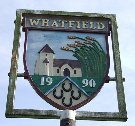
Whatfield

Whatfield is a village and civil parish in Suffolk, England. Located around 2 miles (3.2 km) north of Hadleigh, it is part of Babergh district. == Origin... ==

Kersey Priory

Kersey Priory was a priory in Kersey, Suffolk, England. It was founded before 1218 as a hospital dedicated St Mary the Blessed Virgin and St Anthony under...

Kersey, Suffolk

Kersey is a village and civil parish in the Babergh district in Suffolk, in the east of England. The main street has a ford across a stream. Its principal...

Aldham, Suffolk

Aldham is a village and civil parish in the Babergh district of Suffolk, England. Located around 8 miles (13 km) west of Ipswich, in 2005 it had a population...

Babergh District

Babergh District (pronounced , BAY-bə) is a local government district in Suffolk, England. Primarily a rural area, Babergh contains two towns of notable...

Lindsey, Suffolk

Lindsey is a small village and a civil parish, located in mid-to-south Suffolk, under the purview of Babergh District Council. == Layout == The parish...

Nedging

Nedging is a village and former civil parish on the B1115 road, now in the parish of Nedging-with-Naughton, in the Babergh district, in the county of Suffolk...

Nearby Amenities

Located within 500m of 52.07374,0.93106734
Ford: yes
Source: gps
Lat/Long: 52.0744675/0.9334301
Semer Lodge
Naptan AtcoCode: 390010717
Naptan Bearing: SE
Naptan BusStopType: CUS
Naptan CommonName: Semer Lodge
Naptan Indicator: adj
Naptan Landmark: Semer Lodge
Naptan NaptanCode: sufjdmja
Naptan Street: A1141
Naptan Verified: no
Source: naptan_import
Lat/Long: 52.0712459/0.929102
Semer Lodge
Naptan AtcoCode: 390010718
Naptan Bearing: NW
Naptan BusStopType: CUS
Naptan CommonName: Semer Lodge
Naptan Indicator: opp
Naptan Landmark: Semer Lodge
Naptan NaptanCode: sufjdmjd
Naptan Street: A1141
Naptan Verified: no
Source: naptan_import
Lat/Long: 52.0712309/0.9289842
The data included in this document is from www.openstreetmap.org. The data is made available under ODbL.

Have you been to Cherry Hill?

Leave your review of Cherry Hill below (or comments, questions and feedback).