Bargains Hill
Hill, Mountain in Kent Swale
England
Bargains Hill
Bargains Hill, located in the county of Kent, England, is a prominent geographical feature that can be classified as both a hill and a mountain, depending on the definition used. Standing at an elevation of approximately 250 meters (820 feet), it offers breathtaking views of the surrounding landscape.
Situated near the village of Stelling Minnis, Bargains Hill is part of the North Downs, a range of chalk hills that stretches across the southeastern part of England. Its distinctive shape and steep slopes make it a notable landmark in the area.
The hill is covered in lush vegetation, with a variety of plant species thriving on its slopes. This abundant flora provides a habitat for diverse wildlife, making Bargains Hill a popular destination for nature enthusiasts and hikers. Its location within the Kent Downs Area of Outstanding Natural Beauty ensures its preservation and protection.
Bargains Hill also holds historical significance, as it is believed to have been used as an ancient burial ground during the Bronze Age. Archaeological excavations have revealed burial mounds and artifacts, further enhancing its cultural value.
Despite its relatively modest height, Bargains Hill offers a challenging climb due to its steep gradients. It attracts both experienced climbers seeking a physical challenge and casual walkers looking to enjoy the scenic views.
Overall, Bargains Hill in Kent is a captivating natural landmark that combines its geographical features, wildlife, and historical significance to create an appealing destination for outdoor enthusiasts and those seeking a deeper connection with the region's natural and cultural heritage.
If you have any feedback on the listing, please let us know in the comments section below.
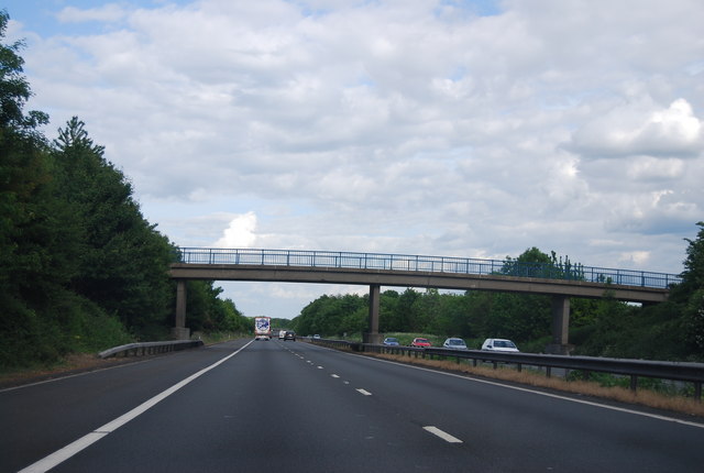
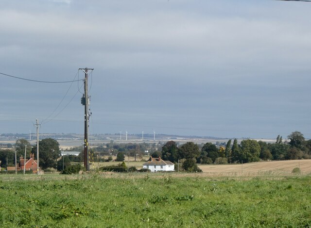
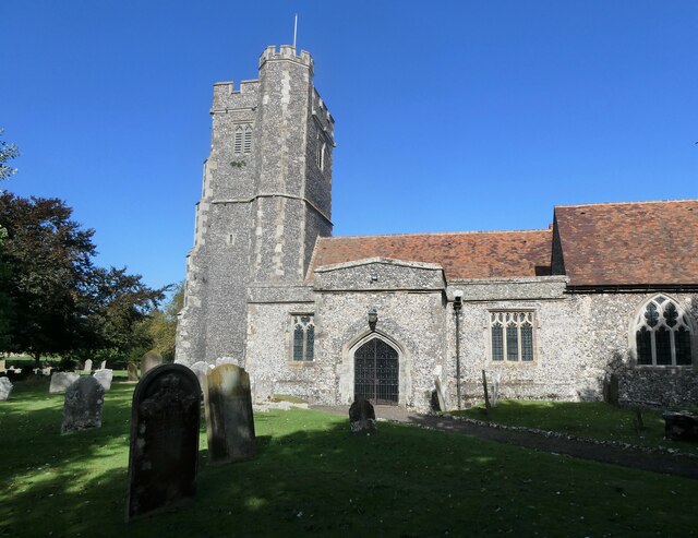
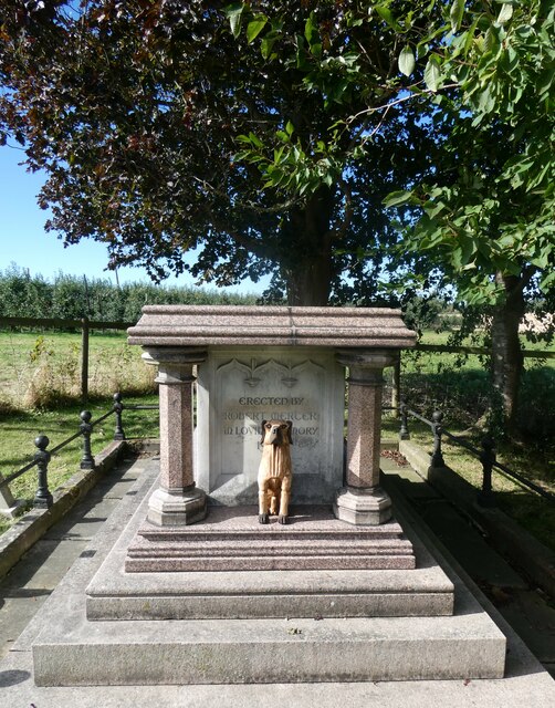
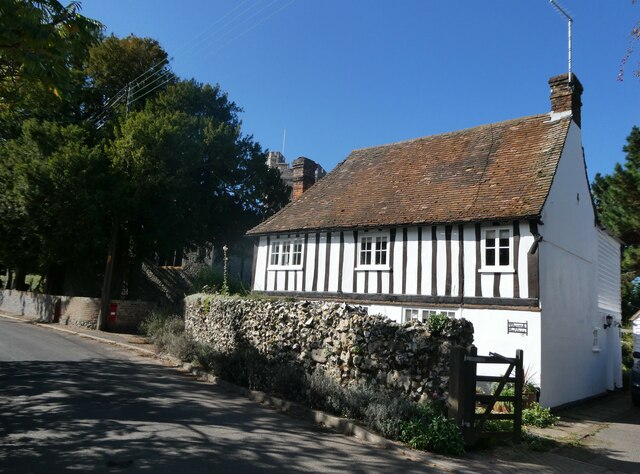
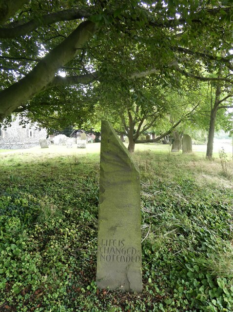
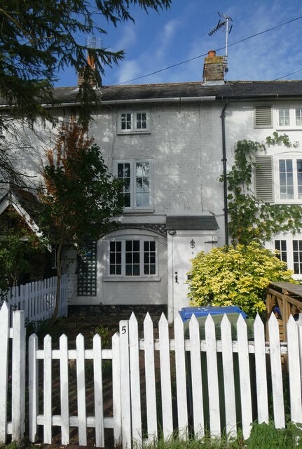
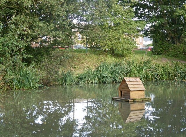
Bargains Hill Images
Images are sourced within 2km of 51.310262/0.75237132 or Grid Reference TQ9160. Thanks to Geograph Open Source API. All images are credited.


Bargains Hill is located at Grid Ref: TQ9160 (Lat: 51.310262, Lng: 0.75237132)
Administrative County: Kent
District: Swale
Police Authority: Kent
What 3 Words
///waving.wrong.piles. Near Sittingbourne, Kent
Nearby Locations
Related Wikis

Newbury, Kent
Newbury is a hamlet near the village of Erriottwood, in the Swale district, in the English county of Kent. It is near the town of Sittingbourne. ��2�...
Dungate
Dungate is a village near the M2 motorway, in the Swale district, in the English county of Kent. It is near the town of Sittingbourne. == References... ==
Bapchild
Bapchild is a village and civil parish in the Swale district of Kent, England, about two miles inside of Sittingbourne. It lies on the old Roman road...

Rodmersham
Rodmersham is a village and civil parish in the Borough of Swale in the north of the English county of Kent. It is just under 1 mile (1.6 km) south of...

Cromers Wood
Cromers Wood is a 28-hectare (69-acre) nature reserve between Milstead and Sittingbourne in Kent. It is managed by Kent Wildlife Trust.This ancient semi...
Highsted
Highsted is a village near Sittingbourne in Kent, England. It is in the civil parish of Rodmersham. Most of the village is on Highsted Valley road leading...

Kingsdown, Swale
Kingsdown is a small village and former civil parish, now in the parish of Lynsted with Kingsdown, in the Swale district, in the county of Kent, England...
Sittingbourne Community F.C.
Sittingbourne Community F.C. is an English football club located in Sittingbourne, in Kent. The club plays in the Kent County Football League Division...
Nearby Amenities
Located within 500m of 51.310262,0.75237132Have you been to Bargains Hill?
Leave your review of Bargains Hill below (or comments, questions and feedback).