Cheney Hill
Hill, Mountain in Kent Swale
England
Cheney Hill
Cheney Hill, also known as Cheney Mountain or Cheney Hill, is a prominent geographic feature located in Kent, England. Rising to an elevation of approximately 235 meters (771 feet), Cheney Hill is a popular destination for outdoor enthusiasts and nature lovers.
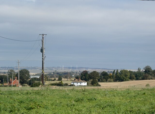
The hill is located within the North Downs Area of Outstanding Natural Beauty, which adds to its allure and scenic beauty. It is situated in close proximity to the picturesque village of Charing, offering visitors stunning panoramic views of the surrounding countryside. On a clear day, one can see as far as the Weald of Kent, with its rolling hills and charming villages.
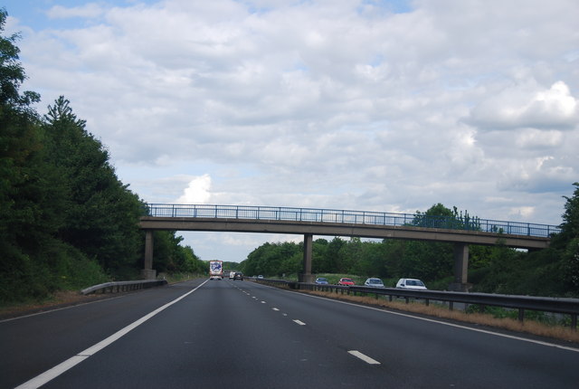
Cheney Hill is well-known for its extensive network of walking and hiking trails, making it an ideal spot for outdoor recreation. The hill is notably part of the North Downs Way, a long-distance footpath that stretches for 246 kilometers (153 miles) from Farnham in Surrey to Dover in Kent. This makes Cheney Hill a popular stop for hikers and walkers along this renowned trail.
The hill is also home to a variety of wildlife, including birds, butterflies, and small mammals, making it a haven for nature enthusiasts and birdwatchers alike. The diverse flora and fauna found on Cheney Hill add to its ecological significance and make it a valuable conservation area.
Overall, Cheney Hill in Kent offers visitors a chance to immerse themselves in the natural beauty of the North Downs, providing breathtaking views, tranquil walks, and a rich biodiversity that make it a must-visit destination for outdoor enthusiasts.
If you have any feedback on the listing, please let us know in the comments section below.
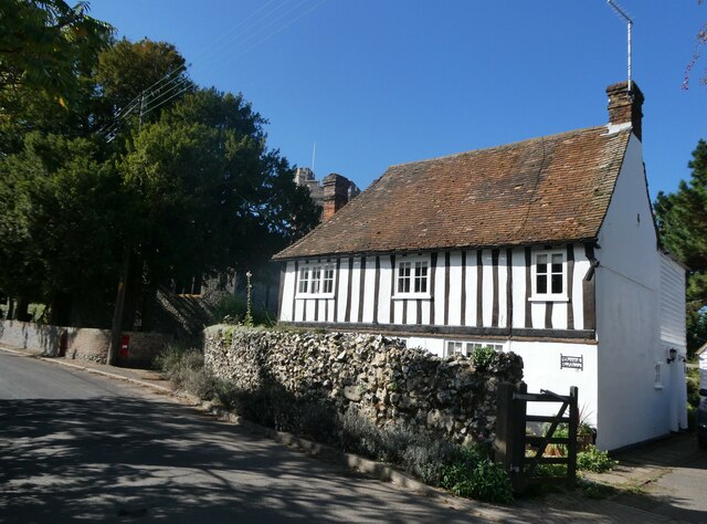
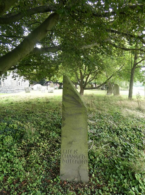
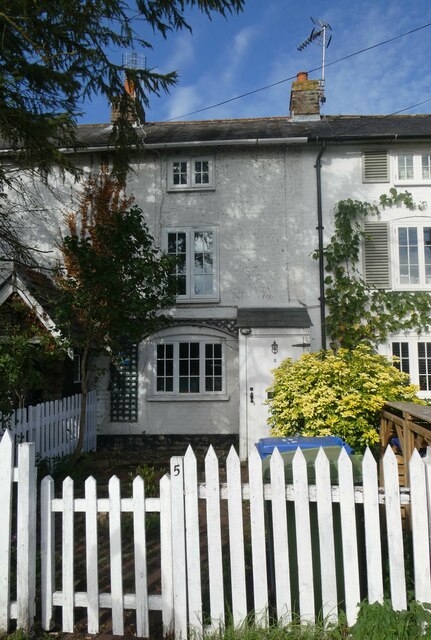
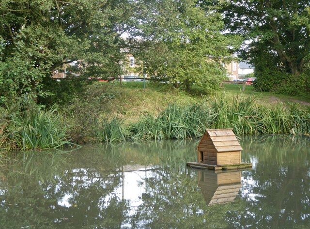
Cheney Hill Images
Images are sourced within 2km of 51.314661/0.74310527 or Grid Reference TQ9160. Thanks to Geograph Open Source API. All images are credited.


Cheney Hill is located at Grid Ref: TQ9160 (Lat: 51.314661, Lng: 0.74310527)
Administrative County: Kent
District: Swale
Police Authority: Kent
What 3 Words
///adjust.simply.ideal. Near Sittingbourne, Kent
Nearby Locations
Related Wikis

Highsted
Highsted is a village near Sittingbourne in Kent, England. It is in the civil parish of Rodmersham. Most of the village is on Highsted Valley road leading...

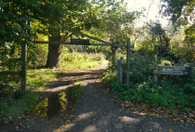
Cromers Wood
Cromers Wood is a 28-hectare (69-acre) nature reserve between Milstead and Sittingbourne in Kent. It is managed by Kent Wildlife Trust.This ancient semi...
Sittingbourne Community F.C.
Sittingbourne Community F.C. is an English football club located in Sittingbourne, in Kent. The club plays in the Kent County Football League Division...
Woodstock Sports F.C.
Woodstock Sports Football Club was an English football team based in Sittingbourne, Kent, last played in the Southern Counties East League. During the...

Rodmersham
Rodmersham is a village and civil parish in the Borough of Swale in the north of the English county of Kent. It is just under 1 mile (1.6 km) south of...
Dungate
Dungate is a village near the M2 motorway, in the Swale district, in the English county of Kent. It is near the town of Sittingbourne. == References... ==
Bapchild
Bapchild is a village and civil parish in the Swale district of Kent, England, about two miles inside of Sittingbourne. It lies on the old Roman road...
Newbury, Kent
Newbury is a hamlet near the village of Erriottwood, in the Swale district, in the English county of Kent. It is near the town of Sittingbourne. ��2�...
Nearby Amenities
Located within 500m of 51.314661,0.74310527Have you been to Cheney Hill?
Leave your review of Cheney Hill below (or comments, questions and feedback).