Ashdown Hill
Hill, Mountain in Kent Maidstone
England
Ashdown Hill

Ashdown Hill is a prominent geographical feature located in the county of Kent, in southeastern England. Situated near the village of Hartfield, it forms part of the larger Ashdown Forest, a designated Area of Outstanding Natural Beauty. Despite its name, Ashdown Hill is more accurately described as a gentle slope rather than a hill or mountain.
Covered in lush green grass and scattered with ancient oak trees, Ashdown Hill offers breathtaking panoramic views of the surrounding countryside. The hill extends for approximately 2 miles and reaches an elevation of around 232 feet, providing a gentle incline for those who wish to explore its natural beauty.
Ashdown Hill is historically significant due to its connection with the famous literary character, Winnie-the-Pooh. The author, A.A. Milne, was inspired by the landscape of Ashdown Forest, and it is widely believed that the fictional Hundred Acre Wood, where Pooh and his friends reside, was based on this enchanting location.
The area surrounding Ashdown Hill is a haven for biodiversity, with an array of flora and fauna thriving in its protected habitat. Visitors may catch glimpses of deer, rabbits, and various bird species as they wander through the hillside.
A popular destination for nature enthusiasts and walkers, Ashdown Hill offers a variety of trails and footpaths, allowing visitors to explore the picturesque countryside at their leisure. Additionally, the nearby village of Hartfield provides amenities such as cafes, pubs, and accommodations for those seeking a longer stay in the area.
In conclusion, Ashdown Hill in Kent is a stunning natural feature that attracts visitors with its scenic beauty, historical significance, and association with the beloved Winnie-the-Pooh stories. Whether it be a leisurely walk or a peaceful retreat into nature, Ashdown Hill offers a tranquil escape for all who visit.
If you have any feedback on the listing, please let us know in the comments section below.
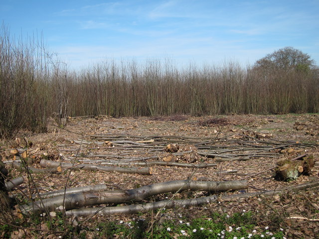
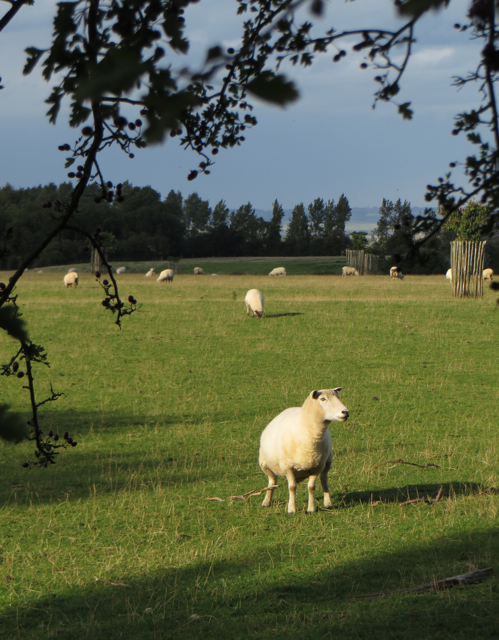
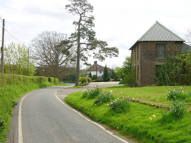
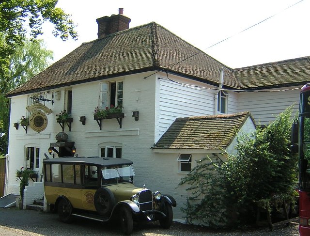
Ashdown Hill Images
Images are sourced within 2km of 51.268769/0.73216942 or Grid Reference TQ9055. Thanks to Geograph Open Source API. All images are credited.


Ashdown Hill is located at Grid Ref: TQ9055 (Lat: 51.268769, Lng: 0.73216942)
Administrative County: Kent
District: Maidstone
Police Authority: Kent
What 3 Words
///clings.hobby.princely. Near Lenham, Kent
Nearby Locations
Related Wikis

Wichling
Wichling (otherwise Wychling) is a village and civil parish within the local government district of Maidstone, in England. The parish lies approximately...

Torry Hill Railway
The Torry Hill Railway is a private miniature railway with the unusual gauge of 9 inches (229 mm) at Torry Hill near Frinsted in the Borough of Maidstone...

Frinsted
Frinsted or Frinstead is a small village and civil parish in the ecclesiastical parish of Wormshill and in the Maidstone District of Kent, England. and...
Ringlestone
Ringlestone is a hamlet between Wormshill and Harrietsham in the Maidstone district of Kent, England. It is in the civil parish of Wormshill. Ringlestone...
Ringlestone Inn
The Ringlestone Inn is an historic public house and restaurant, located in the Ringlestone hamlet near the village of Wormshill in Kent, England. Dating...
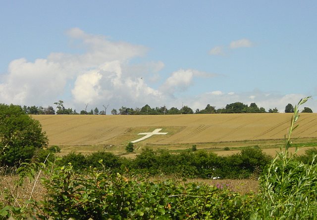
Lenham Cross
The Lenham Cross is a chalk cross carved into the hillside to the north of Lenham in Kent, in England. The Latin cross is 200 ft (61 m) high with arms...

St Giles Church, Wormshill
St Giles Church is the sole church in the village of Wormshill in Kent. The church is Anglican and is dedicated to Saint Giles. It forms part of the united...
Wormshill
Wormshill ( wurmz-HIL), historically Wormsell, is a small village and civil parish within the Borough of Maidstone, Kent, England. The parish is approximately...
Nearby Amenities
Located within 500m of 51.268769,0.73216942Have you been to Ashdown Hill?
Leave your review of Ashdown Hill below (or comments, questions and feedback).