Ashdown Shaw
Wood, Forest in Kent Maidstone
England
Ashdown Shaw

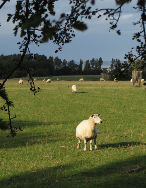
Ashdown Shaw is a picturesque woodland located in Kent, England. Situated in the heart of the Ashdown Forest, it covers an area of approximately 500 acres, making it one of the largest woodlands in the region. The forest is known for its rich biodiversity, with a wide variety of trees, plants, and wildlife calling it home.
The woodland is primarily composed of oak and beech trees, which provide a dense canopy, creating a tranquil and shaded environment. The forest floor is covered in a thick layer of leaf litter, making it an ideal habitat for a diverse range of flora and fauna.
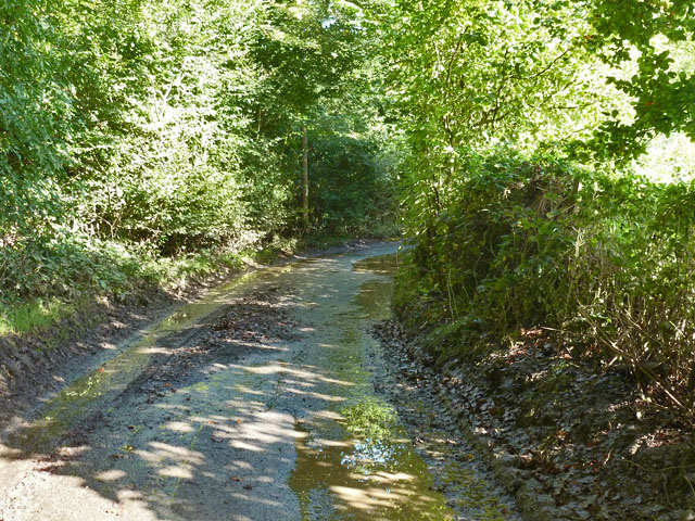
Ashdown Shaw offers a range of activities for visitors to enjoy. There are numerous walking trails that wind through the forest, allowing visitors to explore its beauty at their own pace. These trails vary in length and difficulty, catering to both casual strollers and avid hikers. Along the way, visitors may stumble upon hidden ponds and streams, adding to the charm of the woodland.
Wildlife enthusiasts will be delighted by the array of animals that can be spotted in Ashdown Shaw. Common sightings include deer, foxes, badgers, and a variety of bird species. The forest is also home to several rare and protected species, such as the silver-studded blue butterfly and the great crested newt.
Overall, Ashdown Shaw is a magnificent woodland that offers a peaceful retreat from the hustle and bustle of daily life. Its natural beauty and diverse wildlife make it a must-visit destination for nature lovers and outdoor enthusiasts alike.
If you have any feedback on the listing, please let us know in the comments section below.
Ashdown Shaw Images
Images are sourced within 2km of 51.267385/0.72863215 or Grid Reference TQ9055. Thanks to Geograph Open Source API. All images are credited.


Ashdown Shaw is located at Grid Ref: TQ9055 (Lat: 51.267385, Lng: 0.72863215)
Administrative County: Kent
District: Maidstone
Police Authority: Kent
What 3 Words
///racetrack.graver.disbelief. Near Lenham, Kent
Nearby Locations
Related Wikis

Wichling
Wichling (otherwise Wychling) is a village and civil parish within the local government district of Maidstone, in England. The parish lies approximately...

Torry Hill Railway
The Torry Hill Railway is a private miniature railway with the unusual gauge of 9 inches (229 mm) at Torry Hill near Frinsted in the Borough of Maidstone...
Ringlestone
Ringlestone is a hamlet between Wormshill and Harrietsham in the Maidstone district of Kent, England. It is in the civil parish of Wormshill. Ringlestone...
Ringlestone Inn
The Ringlestone Inn is an historic public house and restaurant, located in the Ringlestone hamlet near the village of Wormshill in Kent, England. Dating...

Frinsted
Frinsted or Frinstead is a small village and civil parish in the ecclesiastical parish of Wormshill and in the Maidstone District of Kent, England. and...
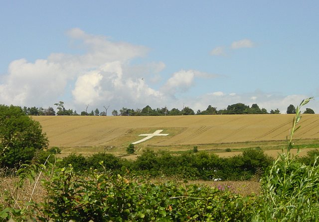
Lenham Cross
The Lenham Cross is a chalk cross carved into the hillside to the north of Lenham in Kent, in England. The Latin cross is 200 ft (61 m) high with arms...

St Giles Church, Wormshill
St Giles Church is the sole church in the village of Wormshill in Kent. The church is Anglican and is dedicated to Saint Giles. It forms part of the united...
Wormshill
Wormshill ( wurmz-HIL), historically Wormsell, is a small village and civil parish within the Borough of Maidstone, Kent, England. The parish is approximately...
Nearby Amenities
Located within 500m of 51.267385,0.72863215Have you been to Ashdown Shaw?
Leave your review of Ashdown Shaw below (or comments, questions and feedback).