Beacon Hill
Hill, Mountain in Norfolk North Norfolk
England
Beacon Hill
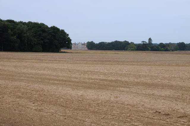
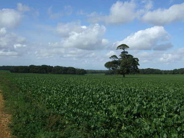
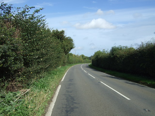
Beacon Hill, located in Norfolk, is a prominent hill or mountain that stands at an elevation of approximately 105 meters (344 feet) above sea level. Situated in the eastern part of England, this natural landmark is part of the Norfolk Coast Area of Outstanding Natural Beauty (AONB), attracting tourists and locals alike.
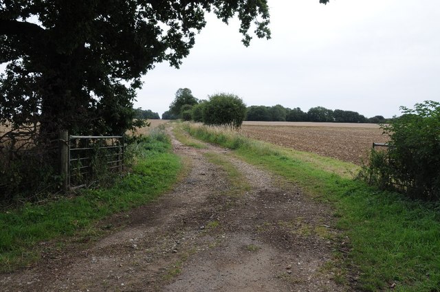
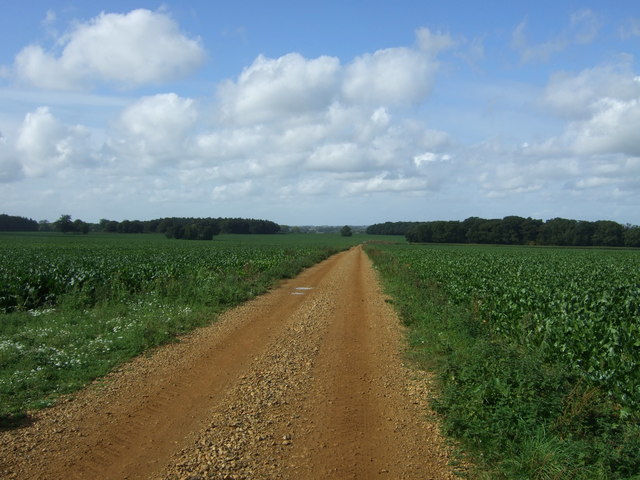
The hill is known for its stunning panoramic views of the surrounding countryside, making it a popular destination for hikers, nature enthusiasts, and photographers. Its strategic location provides visitors with breathtaking vistas of the North Sea, nearby villages, and the picturesque Norfolk coastline.
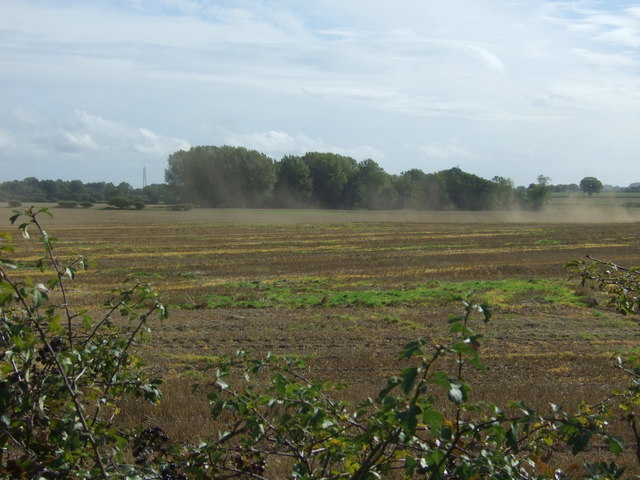
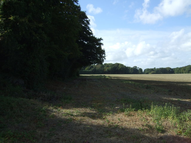
Covered in a mix of grassland and heathland, Beacon Hill is home to a diverse range of plant and animal species, including rare butterflies, birds, and insects. It is also known for its vibrant wildflowers that bloom during the spring and summer months, adding a splash of color to the landscape.
In addition to its natural beauty, Beacon Hill holds historical significance. The hill was once used as a signaling point during the Napoleonic Wars, serving as a beacon site where warning signals were lit to alert locals of potential invasion threats. This historical context adds an intriguing layer to the hill's allure, attracting history buffs interested in the region's past.
Overall, Beacon Hill in Norfolk offers a captivating blend of natural beauty, historical significance, and magnificent views. Whether it's for a leisurely stroll, a challenging hike, or simply soaking in the breathtaking scenery, visitors to Beacon Hill can expect an unforgettable experience in this idyllic part of England.
If you have any feedback on the listing, please let us know in the comments section below.
Beacon Hill Images
Images are sourced within 2km of 52.804844/0.82484242 or Grid Reference TF9026. Thanks to Geograph Open Source API. All images are credited.


Beacon Hill is located at Grid Ref: TF9026 (Lat: 52.804844, Lng: 0.82484242)
Administrative County: Norfolk
District: North Norfolk
Police Authority: Norfolk
What 3 Words
///rail.elevates.sticking. Near Fakenham, Norfolk
Nearby Locations
Related Wikis

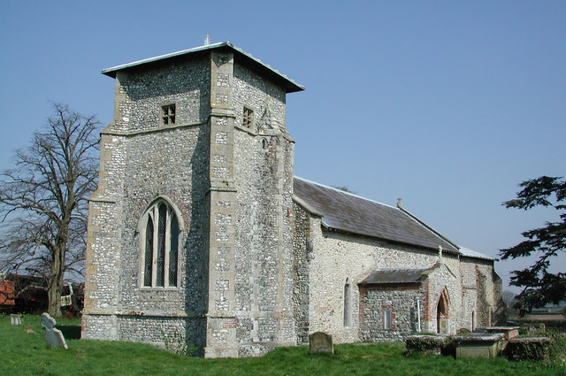
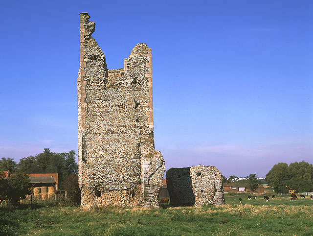
Beacon Hill, Colkirk, Norfolk
Beacon Hill, Colkirk, Norfolk is a high point, once the site of a beacon forming part of a chain from the North Norfolk Coast to London. The approximate...
Toftrees
Toftrees is a village and former civil parish, now in the parish of Dunton, in the North Norfolk district, in the county of Norfolk, England. The hamlet...
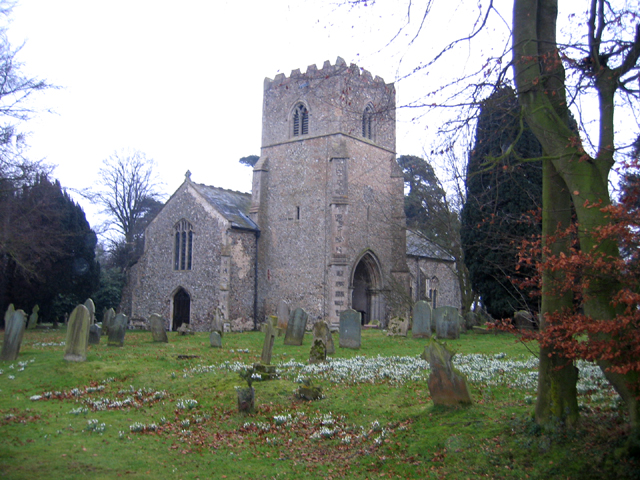
Colkirk
Colkirk is a village (population 2001-547[1]) situated about two miles south of Fakenham in the county of Norfolk, England. Dating from at least the time...

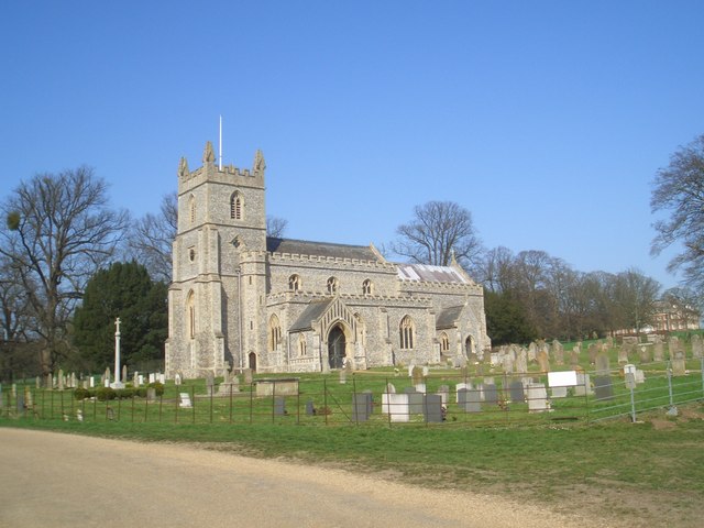
Hempton
Hempton is a village and a civil parish in the English county of Norfolk. The village is 0.8 miles (1.3 km) south west of Fakenham, 33.9 miles (54.6 km...
Hempton Priory
Hempton Priory was a medieval monastery at Hempton in Norfolk, England, variously referred to also as Fakenham or Damsend Priory. Of the buildings of...

Oxwick
Oxwick is a hamlet in the English county of Norfolk. It lies close to the source of the River Wensum and lies one mile south of the village of Colkirk...
Pudding Norton
Pudding Norton is a village and civil parish in the English county of Norfolk. It covers an area of 2.30 sq mi (6.0 km2) and (including Testerton) had...
East Raynham
East Raynham is a village and former civil parish, now in the parish of Raynham, in the North Norfolk district, in the county of Norfolk, England. It is...
Related Videos
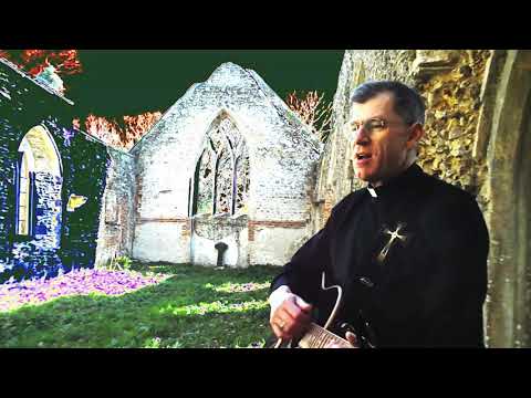
Behold the Man - acoustic version
Recorded at All Saints ruin, Oxwick, Norfolk as Holy Week begins 2020. Original recording by Jim Murray of The Imperials (Side ...
Nearby Amenities
Located within 500m of 52.804844,0.82484242Have you been to Beacon Hill?
Leave your review of Beacon Hill below (or comments, questions and feedback).