Broom Hill
Hill, Mountain in Suffolk West Suffolk
England
Broom Hill
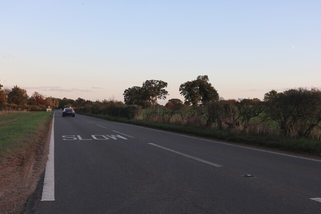
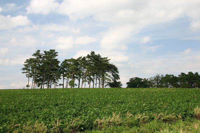
Broom Hill is a small hill located in the county of Suffolk, England. Situated near the town of Ipswich, it forms part of the undulating landscape of the area. While not a mountain by any means, it is considered a notable feature due to its distinct elevation when compared to the surrounding flat terrain.
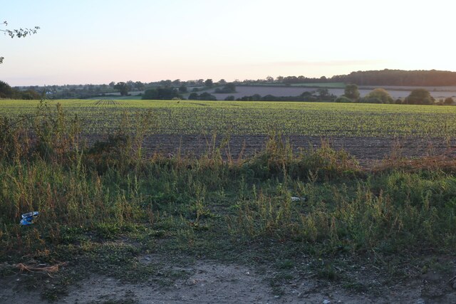
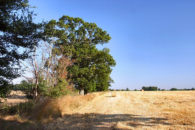
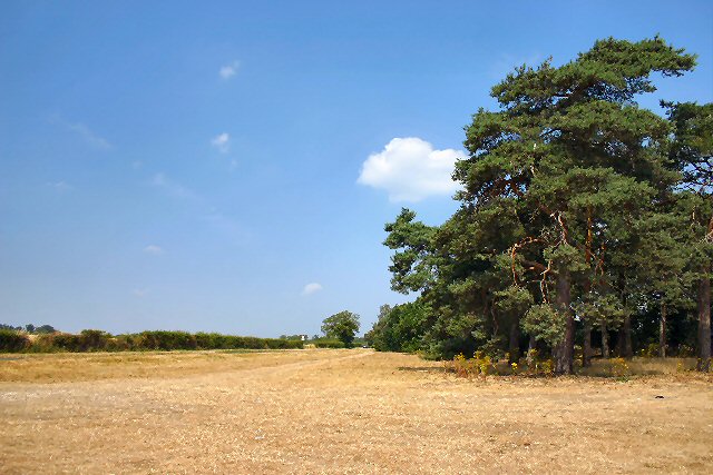
At approximately 62 meters (203 feet) above sea level, Broom Hill offers panoramic views of the surrounding countryside, making it a popular spot for visitors and locals alike. The hill is covered in lush green vegetation, with patches of woodland scattered across its slopes. These woodlands are home to a variety of wildlife, including birds, rabbits, and squirrels, providing a tranquil environment for nature enthusiasts.
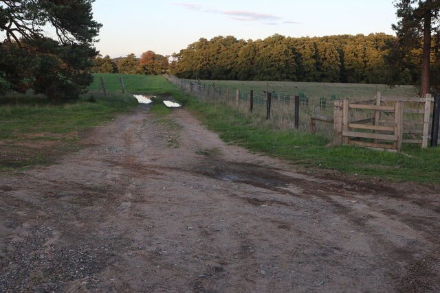
Broom Hill is accessible via several footpaths that wind their way up to the summit. These paths provide a leisurely and scenic way to reach the top, allowing walkers to enjoy the picturesque surroundings. The hill is also a favorite spot for hikers and runners who seek a moderate challenge and the opportunity to enjoy the fresh country air.
Due to its close proximity to Ipswich, Broom Hill is easily reachable from the town, making it a popular destination for day trips. Visitors can explore the hill's natural beauty, take in the panoramic views, or simply relax in the peaceful atmosphere. With its idyllic setting and gentle incline, Broom Hill offers a pleasant escape from the hustle and bustle of city life.
If you have any feedback on the listing, please let us know in the comments section below.
Broom Hill Images
Images are sourced within 2km of 52.347995/0.79439286 or Grid Reference TL9075. Thanks to Geograph Open Source API. All images are credited.


Broom Hill is located at Grid Ref: TL9075 (Lat: 52.347995, Lng: 0.79439286)
Administrative County: Suffolk
District: West Suffolk
Police Authority: Suffolk
What 3 Words
///contexts.engulfing.chats. Near Ixworth, Suffolk
Nearby Locations
Related Wikis

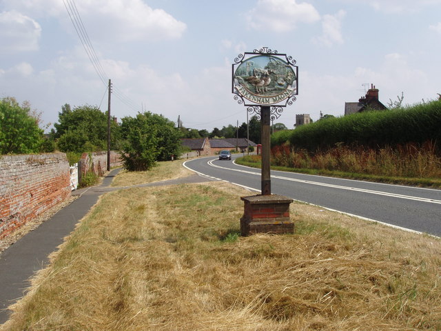
Fakenham Magna
Fakenham Magna (or Great Fakenham) is a village and civil parish in the West Suffolk district of Suffolk in eastern England. The meaning of the word 'Fakenham...
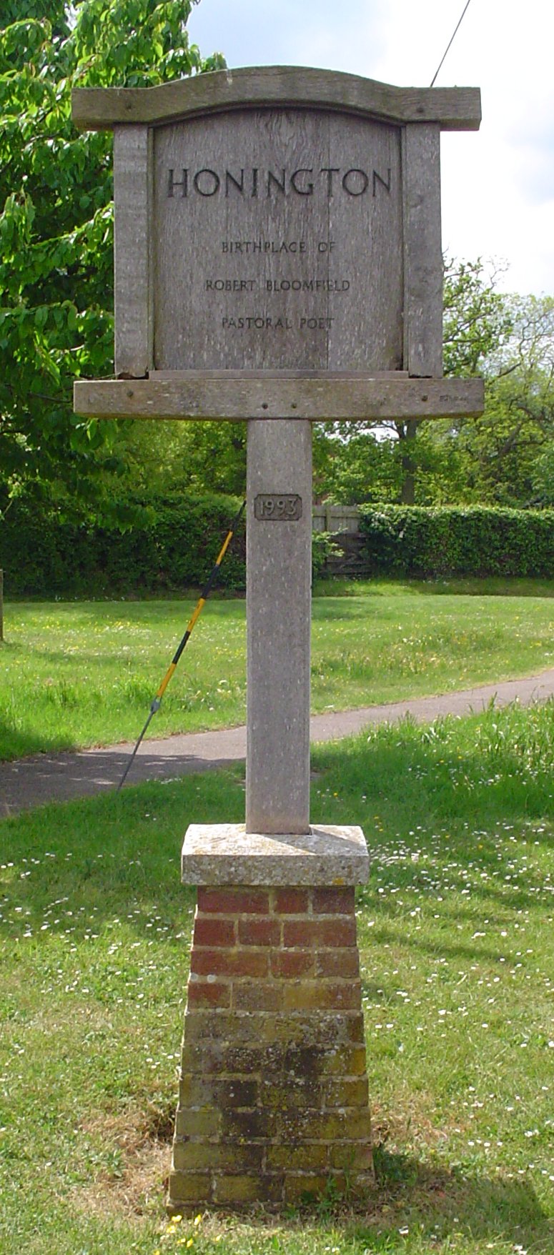
Honington, Suffolk
Honington is a village and civil parish located in Bardwell Ward and Pakenham and Troston Wards of West Suffolk District Council, Suffolk in eastern England...

Sapiston
Sapiston is a small village and civil parish in the West Suffolk district of Suffolk in eastern England, located near the Suffolk-Norfolk border. It is...

RAF Honington
Royal Air Force Honington or more simply RAF Honington (IATA: BEQ, ICAO: EGXH) is a Royal Air Force station located 6 mi (9.7 km) south of Thetford near...

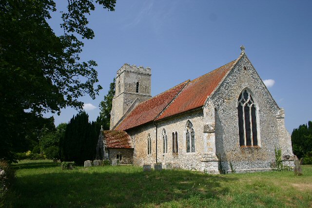
St Andrew's Church, Sapiston
St Andrew's Church is a redundant Anglican church in the village of Sapiston, Suffolk, England. It is recorded in the National Heritage List for England...

Fakenham Wood and Sapiston Great Grove
Fakenham Wood and Sapiston Great Grove is a 200.7-hectare (496-acre) biological Site of Special Scientific Interest north of Sapiston in Suffolk.These...

Euston Hall
Euston Hall is a country house, with park by William Kent and Capability Brown, located in Euston, a small village in Suffolk located just south of Thetford...

Euston, Suffolk
Euston is a village and civil parish in the West Suffolk district of Suffolk in eastern England. Located on the A1088 around two miles south of Thetford...
Nearby Amenities
Located within 500m of 52.347995,0.79439286Have you been to Broom Hill?
Leave your review of Broom Hill below (or comments, questions and feedback).