Kedington Hill
Hill, Mountain in Suffolk Babergh
England
Kedington Hill
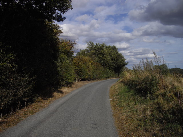
Kedington Hill is a prominent landmark located in the county of Suffolk, England. This hill, also known as Kedington Tump, is situated near the village of Kedington and is part of the rolling landscape of the Suffolk countryside. Despite being referred to as a hill, it is more accurately described as a small, rounded rise in the terrain rather than a mountain.
At an elevation of approximately 97 meters (318 feet), Kedington Hill offers picturesque views of the surrounding area, including the nearby villages of Kedington, Hundon, and Little Wratting. The hill itself is covered in lush greenery, with fields and farmland extending outwards in every direction. It is a popular spot for walkers and hikers, who often take advantage of the various footpaths and trails that crisscross the area.
Kedington Hill has historical significance as well. It is believed to have been used as a burial mound during the Iron Age, with archaeological evidence supporting this theory. The hill also holds remnants of an ancient chapel that once stood on its slopes, adding to its historical allure.
While not a particularly large or imposing feature, Kedington Hill holds a special place in the hearts of locals and visitors alike. Its gentle slopes, scenic views, and historical significance make it a charming destination for those seeking a tranquil escape in the Suffolk countryside.
If you have any feedback on the listing, please let us know in the comments section below.
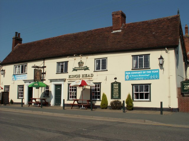
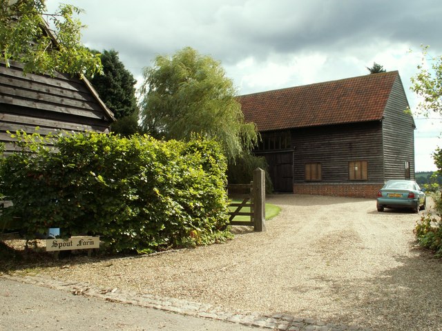
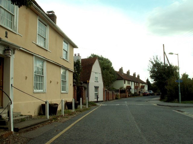
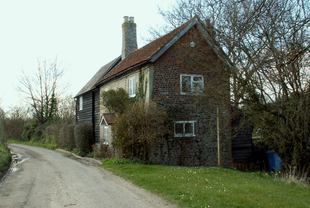
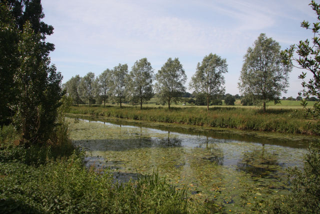
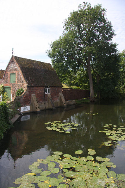
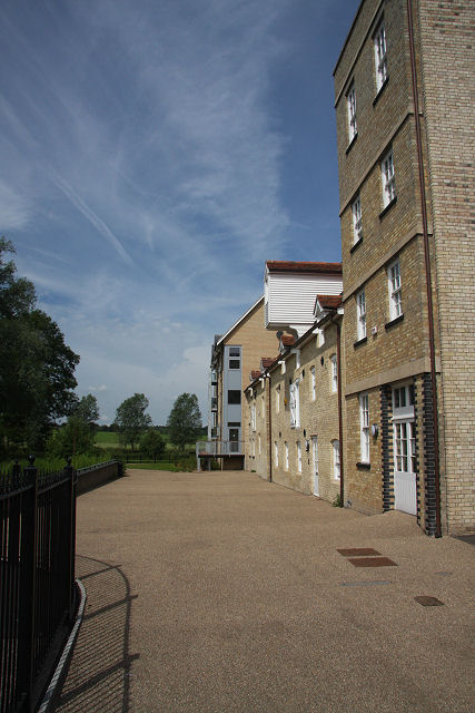
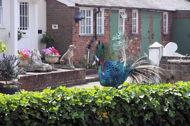
Kedington Hill Images
Images are sourced within 2km of 52.015058/0.75641991 or Grid Reference TL8938. Thanks to Geograph Open Source API. All images are credited.


Kedington Hill is located at Grid Ref: TL8938 (Lat: 52.015058, Lng: 0.75641991)
Administrative County: Suffolk
District: Babergh
Police Authority: Suffolk
What 3 Words
///widgets.facelift.longingly. Near Sudbury, Suffolk
Nearby Locations
Related Wikis

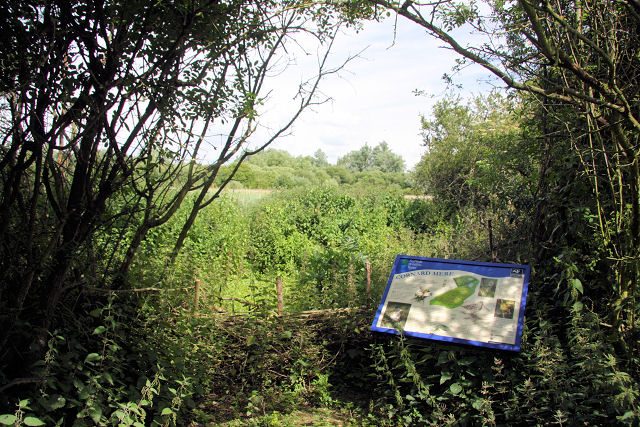
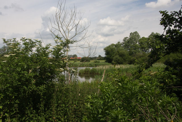
Cornard Mere
Cornard Mere is an 8.5-hectare (21-acre) biological Site of Special Scientific Interest in Little Cornard in Suffolk. It is managed by the Suffolk Wildlife...
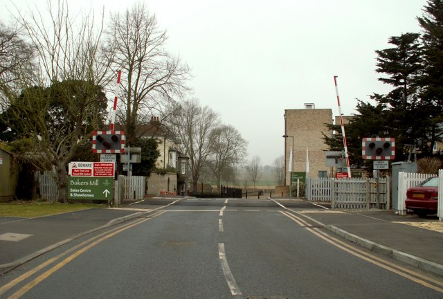
Little Cornard derailment
The Little Cornard derailment occurred on 17 August 2010 when a passenger train collided with a road vehicle on a level crossing on the Gainsborough Line...

Cornard United F.C.
Cornard United Football Club is a football club based in Great Cornard, near Sudbury, Suffolk, England. They are currently members of the Eastern Counties...

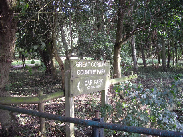
Little Cornard
Little Cornard is a village and civil parish in Suffolk, England. Located around 0.5 miles (0.8 km) from its larger sibling, Great Cornard, on the B1508...
Nearby Amenities
Located within 500m of 52.015058,0.75641991Have you been to Kedington Hill?
Leave your review of Kedington Hill below (or comments, questions and feedback).