Bobbing Hill

Hill, Mountain in Kent Swale

England

Bobbing Hill

Field View at Keycol Farm Triangulation Pillar Looking westward.
Field View at Keycol Farm Triangulation Pillar Credit: Peter Wood

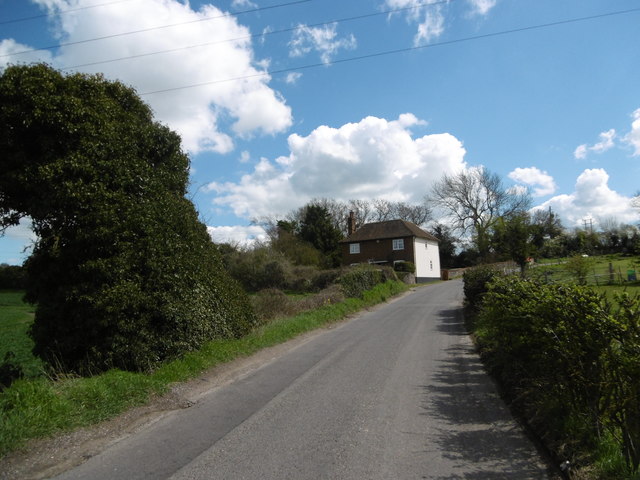
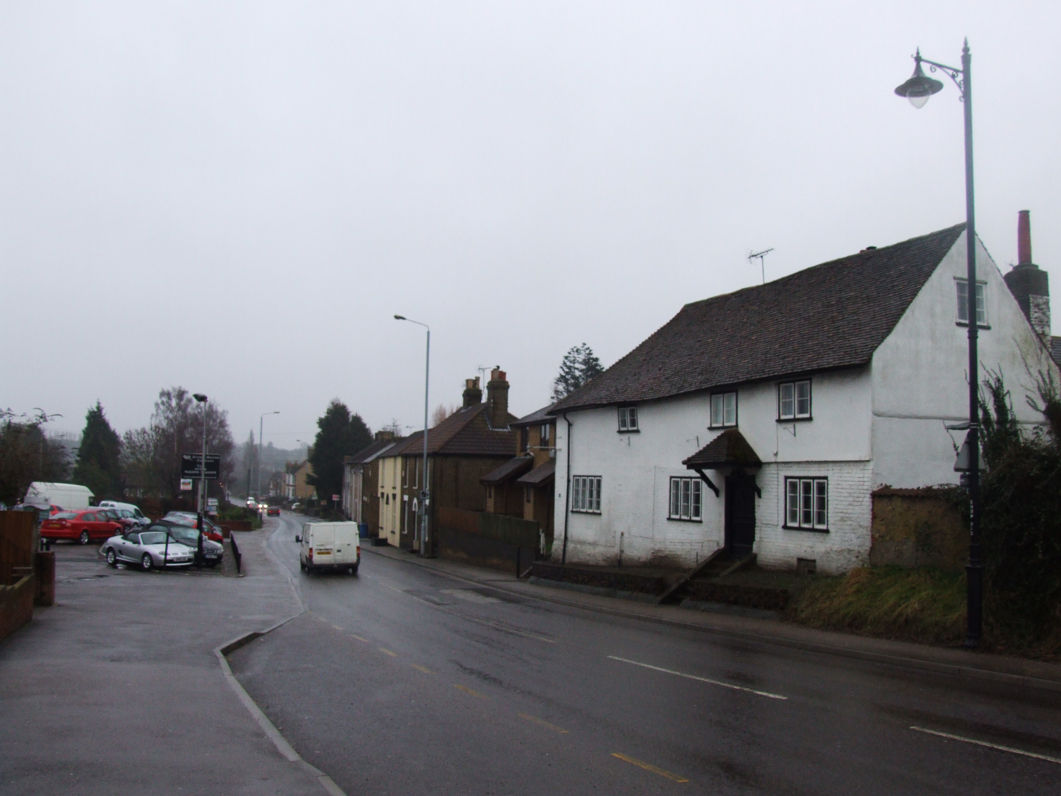
Bobbing Hill is a prominent hill located in the county of Kent, England. Situated in the district of Swale, it is part of the wider North Downs range of hills that span across southeastern England. Rising to an elevation of approximately 171 meters (561 feet), Bobbing Hill offers stunning panoramic views of the surrounding countryside.

The hill is characterized by its gently sloping terrain and lush green vegetation, which is home to a diverse range of plant and animal species. It is a popular spot for nature enthusiasts and hikers, who are drawn to its tranquil atmosphere and scenic beauty.

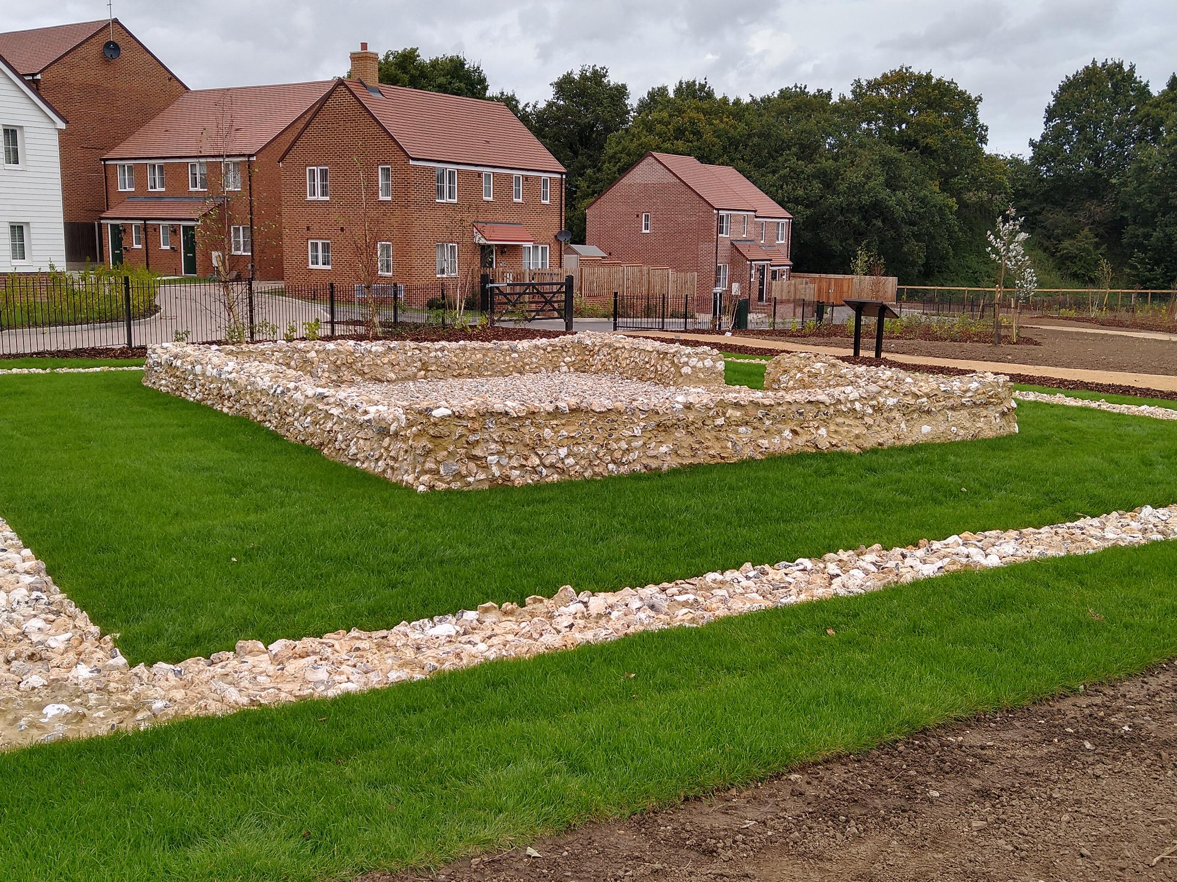
Bobbing Hill also holds historical significance, with evidence of human occupation dating back to the Neolithic period. Archaeological discoveries, including flint tools and burial mounds, indicate that the hill has been inhabited for thousands of years.

In addition to its natural and historical attractions, the hill is also known for its recreational activities. It features several well-maintained footpaths and trails, making it ideal for walkers and cyclists. The surrounding area offers ample opportunities for picnicking, birdwatching, and photography.

Access to Bobbing Hill is convenient, with nearby parking facilities and public transportation options available. Whether it's for a peaceful stroll, a family outing, or an adventure in nature, Bobbing Hill offers visitors a chance to immerse themselves in the scenic beauty and rich history of the Kent countryside.

If you have any feedback on the listing, please let us know in the comments section below.

Bobbing Hill Images

Images are sourced within 2km of 51.347967/0.69935168 or Grid Reference TQ8864. Thanks to Geograph Open Source API. All images are credited.

Field View at Keycol Farm Triangulation Pillar Looking westward.
Field View at Keycol Farm Triangulation Pillar
Looking westward.
243-247 Borden Lane Grade II listed <span class="nowrap"><a title="https://www.historicengland.org.uk/listing/the-list/list-entry/1069423" rel="nofollow ugc noopener" href="https://www.historicengland.org.uk/listing/the-list/list-entry/1069423">Link</a><img style="margin-left:2px;" alt="External link" title="External link - shift click to open in new window" src="https://s1.geograph.org.uk/img/external.png" width="10" height="10"/></span> Wealden hall house.
243-247 Borden Lane
Grade II listed LinkExternal link Wealden hall house.
Wises Oast, Wises Lane, Borden
Wises Oast, Wises Lane, Borden 20th century, internal kiln oast house, built 1950's. One cowl to roof. Converted to offices known as Wises Oast Business Centre.
Wises Oast, Wises Lane, Borden
20th century, internal kiln oast house, built 1950's. One cowl to roof. Converted to offices known as Wises Oast Business Centre.
St Peter and St Paul Church, Borden The notable tower at Borden is Norman. The church was remodelled with aisles to the nave and chancel in the 13th century. The nave is short which reflects its Norman ancestry.
St Peter and St Paul Church, Borden
The notable tower at Borden is Norman. The church was remodelled with aisles to the nave and chancel in the 13th century. The nave is short which reflects its Norman ancestry.
Footpath near Borden Blossom brightens up this footpath just to the north of Borden.
Footpath near Borden
Blossom brightens up this footpath just to the north of Borden.
School Lane School Lane leads to Chestnut Street in the distance.
School Lane
School Lane leads to Chestnut Street in the distance.
Path through field of oilseed rape The path leads to Pond Farm Road and the village of Borden.
Path through field of oilseed rape
The path leads to Pond Farm Road and the village of Borden.
Borden War Memorial The notable tower at Borden is Norman. The church was remodelled with aisles to the nave and chancel in the 13th century. The nave is short which reflects its Norman ancestry. The war memorial is immediately outside the south porch.
Borden War Memorial
The notable tower at Borden is Norman. The church was remodelled with aisles to the nave and chancel in the 13th century. The nave is short which reflects its Norman ancestry. The war memorial is immediately outside the south porch.
St Peter and St Paul Church, Borden and the war memorial The notable tower at Borden is Norman. The church was remodelled with aisles to the nave and chancel in the 13th century. The nave is short which reflects its Norman ancestry. The war memorial is immediately outside the south porch.
St Peter and St Paul Church, Borden and the war memorial
The notable tower at Borden is Norman. The church was remodelled with aisles to the nave and chancel in the 13th century. The nave is short which reflects its Norman ancestry. The war memorial is immediately outside the south porch.
Lozenge graves at St Peter and St Paul Church, Borden The notable tower at Borden is Norman. The church was remodelled with aisles to the nave and chancel in the 13th century. The nave is short which reflects its Norman ancestry. The lozenge graves seen here are very typical of Kent as seen in the opening scenes of Great Expectations.
Lozenge graves at St Peter and St Paul Church, Borden
The notable tower at Borden is Norman. The church was remodelled with aisles to the nave and chancel in the 13th century. The nave is short which reflects its Norman ancestry. The lozenge graves seen here are very typical of Kent as seen in the opening scenes of Great Expectations.
Footpath signs near Chestnut Street Some of these looked new and some of the old stone signs were here too. The walk we followed around the Chestnut Street and Borden area referred to stone footpath signs, most of which had gone so perhaps this is where they ended up. Strangely enough the only stone sign we saw was only about 20 yards away at the entrance to Chestnut Wood - see <a title="https://www.geograph.org.uk/photo/4912149" href="https://www.geograph.org.uk/photo/4912149">Link</a>
Footpath signs near Chestnut Street
Some of these looked new and some of the old stone signs were here too. The walk we followed around the Chestnut Street and Borden area referred to stone footpath signs, most of which had gone so perhaps this is where they ended up. Strangely enough the only stone sign we saw was only about 20 yards away at the entrance to Chestnut Wood - see Link
Footpath signs near Chestnut Street This was in a depot next to Chestnut Wood. Some of these looked new and some of the old stone signs were here too. The walk we followed around the Chestnut Street and Borden area referred to stone footpath signs, most of which had gone so perhaps this is where they ended up. Strangely enough the only stone sign we saw was only about 20 yards away at the entrance to Chestnut Wood - see <a title="https://www.geograph.org.uk/photo/4912149" href="https://www.geograph.org.uk/photo/4912149">Link</a>
Footpath signs near Chestnut Street
This was in a depot next to Chestnut Wood. Some of these looked new and some of the old stone signs were here too. The walk we followed around the Chestnut Street and Borden area referred to stone footpath signs, most of which had gone so perhaps this is where they ended up. Strangely enough the only stone sign we saw was only about 20 yards away at the entrance to Chestnut Wood - see Link
Meeting of paths at Chestnut Wood Chestnut Wood is ahead. The path to the left leads to Sunnyhill and the one to the right to Munsgore Farm. This was right next to the depot where various old stone footpaths signs had been taken but on the walk we did via Borden and Oade Street, this was the only one we saw - see <a title="https://www.geograph.org.uk/photo/4912146" href="https://www.geograph.org.uk/photo/4912146">Link</a>
Meeting of paths at Chestnut Wood
Chestnut Wood is ahead. The path to the left leads to Sunnyhill and the one to the right to Munsgore Farm. This was right next to the depot where various old stone footpaths signs had been taken but on the walk we did via Borden and Oade Street, this was the only one we saw - see Link
School Lane School Lane leads from Chestnut Street to Borden.
School Lane
School Lane leads from Chestnut Street to Borden.
Horses alongside School Lane School Lane leads from Chestnut Street to Borden. This is just as it leaves Chestnut Street, some of the houses of which are on the left. There are a great number of horses in this area.
Horses alongside School Lane
School Lane leads from Chestnut Street to Borden. This is just as it leaves Chestnut Street, some of the houses of which are on the left. There are a great number of horses in this area.
Footpath near Borden The footpath heads across the field to a junction of paths in the middle of the field. To the left School Lane and Chestnut Street, ahead is Key Street and to the right is Wises Lane.
Footpath near Borden
The footpath heads across the field to a junction of paths in the middle of the field. To the left School Lane and Chestnut Street, ahead is Key Street and to the right is Wises Lane.
Show me another place!

Bobbing Hill is located at Grid Ref: TQ8864 (Lat: 51.347967, Lng: 0.69935168)

Administrative County: Kent

District: Swale

Police Authority: Kent

What 3 Words

///flap.basically.cove. Near Newington, Kent

Related Wikis

Bobbing, Kent

Bobbing is a village and civil parish in the Swale district of Kent, England, about a mile north-west of Sittingbourne, and forming part of its urban area...

Keycol

Keycol is a village near Sittingbourne in Kent, England. At the 2011 Census the population of the village was recorded in the civil parish of Bobbing....

Westlands School, Sittingbourne

Westlands School is a coeducational secondary school and sixth form with academy status, located in Sittingbourne in the English county of Kent.Previously...

A249 road

The A249 is a road in Kent, England, running from Maidstone to Sheerness on the Isle of Sheppey. It mainly functions as a link between the M2 and M20 motorways...

Chestnut Street, Kent

Chestnut Street is a settlement to the west of Sittingbourne in the Borough of Swale, Kent, England. It is located on the former A249 road alignment, between...

Watling Temple

Watling Temple is the name given to the temple within a Roman town next to the modern A2 road in Newington, near Sittingbourne in Kent, England.The town...

Heart's Delight, Swale

Heart's Delight is a settlement located to the south of Sittingbourne in Kent, England. Heart's Delight Road, leading to it, has the postal address of...

Newington, Swale

Newington is a village and civil parish in the borough of Swale in Kent, England. The parish is located beside the A2 road (originally a Roman road) between...

Nearby Amenities

Located within 500m of 51.347967,0.69935168
Railway: crossing
Lat/Long: 51.3516474/0.7021483
Motorway Junction
Bobbing
Lat/Long: 51.3483442/0.7032156
Bus Stop
Ladyfields Close
Naptan AtcoCode: 2400A009290A
Naptan Bearing: E
Naptan CommonName: Ladyfields Close
Naptan Indicator: adj
Naptan Landmark: Ladyfields Close
Naptan NaptanCode: kntamagp
Naptan Street: Keycol Hill
Naptan Verified: no
Public Transport: platform
Ref: kntamagp
Source: naptan_import
Source Date: 2018-08-20T14:28:00
Lat/Long: 51.3468813/0.6957837
Bus Stop
Ladyfields Close
Naptan AtcoCode: 2400A009300A
Naptan Bearing: W
Naptan CommonName: Ladyfields Close
Naptan Indicator: opp
Naptan Landmark: Ladyfields Close
Naptan NaptanCode: kntamagt
Naptan Street: Keycol Hill
Naptan Verified: no
Public Transport: platform
Ref: kntamagt
Source: naptan_import
Source Date: 2018-08-20T14:29:00
Lat/Long: 51.3466359/0.6962863
Bus Stop
The Long Hop
Bus: yes
Local Ref: adj
Naptan AtcoCode: 2400A010090A
Naptan Bearing: W
Naptan BusStopType: MKD
Naptan CommonName: The Long Hop
Naptan Indicator: adj
Naptan Landmark: Wises Lane
Naptan NaptanCode: kntamdwa
Naptan RevisionNumber: 2
Naptan Status: act
Naptan Street: London Road
Naptan Verified: no
Public Transport: platform
Ref: kntamdwa
Source: naptan_import
Source Date: 2018-10-11
Lat/Long: 51.3452814/0.7046347
Bus Stop
Pearce and Batt Garage
Bus: yes
Local Ref: opp
Naptan AtcoCode: 2400A010100A
Naptan Bearing: W
Naptan BusStopType: MKD
Naptan CommonName: Pearce and Batt Garage
Naptan Indicator: opp
Naptan Landmark: Pearce and Batt Garage
Naptan NaptanCode: kntamdwd
Naptan RevisionNumber: 6
Naptan Status: act
Naptan Street: Key Street
Naptan Verified: no
Public Transport: platform
Ref: kntamdwd
Seats: yes
Shelter: yes
Source: naptan_import
Source Date: 2018-10-11
Source 1: survey
Lat/Long: 51.3457006/0.7020599
Bus Stop
Pearce and Batt Garage
Bus: yes
Local Ref: adj
Naptan AtcoCode: 2400A010110A
Naptan Bearing: E
Naptan BusStopType: MKD
Naptan CommonName: Pearce and Batt Garage
Naptan Indicator: adj
Naptan Landmark: Pearce and Batt Garage
Naptan NaptanCode: kntamdwg
Naptan RevisionNumber: 5
Naptan Status: act
Naptan Street: Key Street
Naptan Verified: no
Public Transport: platform
Ref: kntamdwg
Shelter: no
Source: naptan_import
Source Date: 2018-10-11
Source 1: survey
Lat/Long: 51.3458661/0.7017056
Parking
Fee: no
Note: Mo-Fr part time single yellow line.
Parking: lane
Source: survey
Lat/Long: 51.3468203/0.699204
Source: local_knowledge
Lat/Long: 51.3467818/0.7043
Key Street
Place: hamlet
Lat/Long: 51.3452384/0.6994085
Source: local_knowledge
Lat/Long: 51.3455155/0.7021685
Source: local_knowledge
Lat/Long: 51.3455295/0.702074
Source: local_knowledge
Lat/Long: 51.3455929/0.7020946
Source: local_knowledge
Lat/Long: 51.3455811/0.7021875
Source: local_knowledge
Lat/Long: 51.3463473/0.7013203
Source: local_knowledge
Lat/Long: 51.3462192/0.7012636
Source: local_knowledge
Lat/Long: 51.346262/0.7010154
Source: local_knowledge
Lat/Long: 51.3461736/0.701452
Source: local_knowledge
Lat/Long: 51.3463901/0.701072
Source: local_knowledge
Lat/Long: 51.3460389/0.700956
Source: local_knowledge
Lat/Long: 51.345994/0.7013771
Source: local_knowledge
Lat/Long: 51.3461814/0.7010155
Source: local_knowledge
Lat/Long: 51.3473056/0.7019736
Source: local_knowledge
Lat/Long: 51.3452541/0.7046534
Source: local_knowledge
Lat/Long: 51.3451276/0.7045533
Source: local_knowledge
Lat/Long: 51.3455001/0.7037782
Source: local_knowledge
Lat/Long: 51.3451164/0.7047468
Source: local_knowledge
Lat/Long: 51.3452335/0.7047562
Source: local_knowledge
Lat/Long: 51.3468368/0.7041915
Source: local_knowledge
Lat/Long: 51.3468309/0.704265
Bobbing Hill
Place: locality
Lat/Long: 51.349251/0.7005984
Power: tower
Lat/Long: 51.3440129/0.697817
Proposed
Button Operated: yes
Crossing: traffic_signals
Crossing Island: no
Crossing Markings: dots
Proposed: highway
Source: https://www.kent.gov.uk/roads-and-travel/road-projects/planned-road-projects/A249-Grovehurst-Road-and-Key-Street
Tactile Paving: yes
Lat/Long: 51.3454678/0.699148
Power: tower
Lat/Long: 51.3522529/0.7007651
Power: tower
Lat/Long: 51.3483463/0.6963878
Power: tower
Lat/Long: 51.3506916/0.6991236
Power: pole
Lat/Long: 51.350341/0.696848
Power: pole
Lat/Long: 51.3518519/0.6980897
Power: pole
Lat/Long: 51.3486326/0.6954423
Power: pole
Lat/Long: 51.3474256/0.6947035
Power: pole
Lat/Long: 51.3485799/0.6956264
Power: pole
Lat/Long: 51.3502679/0.6970248
Power: pole
Lat/Long: 51.3517712/0.6982722
Power: pole
Lat/Long: 51.3510276/0.697412
Power: pole
Lat/Long: 51.3523356/0.6986292
Power: pole
Lat/Long: 51.3494593/0.6961239
Power: pole
Lat/Long: 51.3478346/0.6947778
Power: pole
Lat/Long: 51.3522522/0.6988558
Power: pole
Lat/Long: 51.3493956/0.6963084
Power: pole
Lat/Long: 51.3509869/0.6975836
Power: pole
Lat/Long: 51.3477528/0.6949466
Power: pole
Lat/Long: 51.3475598/0.694552
Source: local_knowledge
Lat/Long: 51.3468621/0.7042617
Source: local_knowledge
Lat/Long: 51.3454902/0.7021579
Post Box
Brand: Royal Mail
Brand Wikidata: Q638098
Brand Wikipedia: en:Royal Mail
Collection Plate: CP7D
Collection Times: Mo-Fr 09:00; Sa 07:00; Su off
Operator: Royal Mail
Operator Wikidata: Q638098
Post Box Mounting: pier
Post Box Type: lamp
Ref: ME10 126D
Royal Cypher: EIIR
Royal Cypher Wikidata: Q33102113
Source: streetlevel imagery;aerial imagery;survey
Source 1: survey
Survey Date: 2023-08-10
Lat/Long: 51.3468334/0.6991088
Railway: crossing
Lat/Long: 51.3516834/0.7021667
Generator Method: photovoltaic
Generator Output Electricity: yes
Generator Source: solar
Generator Type: solar_photovoltaic_panel
Location: roof
Power: generator
Lat/Long: 51.3437807/0.7013252
Generator Method: photovoltaic
Generator Output Electricity: yes
Generator Source: solar
Generator Type: solar_photovoltaic_panel
Location: roof
Power: generator
Lat/Long: 51.3450507/0.7024035
Generator Method: photovoltaic
Generator Output Electricity: yes
Generator Source: solar
Generator Type: solar_photovoltaic_panel
Location: roof
Power: generator
Lat/Long: 51.3452987/0.7037392
Generator Method: photovoltaic
Generator Output Electricity: yes
Generator Source: solar
Generator Type: solar_photovoltaic_panel
Location: roof
Power: generator
Lat/Long: 51.3446126/0.7038036
Waste Basket
Ashtray: no
Colour: black
Covered: yes
Note: There is no formal stubber plate on this litter bin but there is a makeshift stubber plate area.
Source: survey
Waste: trash
Lat/Long: 51.3468632/0.699158
Parking
Fee: no
Note: This lay-by has a single yellow line which applies at certain times of the day.
Parking: layby
Source: survey
Survey Date: 2023-08-18
Lat/Long: 51.3461127/0.7002446
Waste Basket
Colour: black
Covered: yes
Source: survey
Lat/Long: 51.344771/0.6958542
Waste Basket
Colour: black
Covered: yes
Source: survey
Lat/Long: 51.3450935/0.6971985
Grit Bin
Colour: yellow
Source: survey
Survey Date: 2023-10-17
Lat/Long: 51.3465649/0.698295
Give Way
Lat/Long: 51.344378/0.6951203
Waste Basket
Colour: black
Covered: yes
Source: survey
Survey Date: 2023-12-30
Lat/Long: 51.3456985/0.7020809
Waste Basket
Colour: black
Covered: yes
Source: survey
Survey Date: 2023-12-30
Lat/Long: 51.3458581/0.7016893
Generator Method: photovoltaic
Generator Output Electricity: yes
Generator Source: solar
Generator Type: solar_photovoltaic_panel
Location: roof
Power: generator
Lat/Long: 51.3480613/0.6980905
Generator Method: photovoltaic
Generator Output Electricity: yes
Generator Source: solar
Generator Type: solar_photovoltaic_panel
Location: roof
Power: generator
Lat/Long: 51.3486468/0.6998259
Generator Method: photovoltaic
Generator Output Electricity: yes
Generator Source: solar
Generator Type: solar_photovoltaic_panel
Location: roof
Power: generator
Lat/Long: 51.3480889/0.6981093
Generator Method: photovoltaic
Generator Output Electricity: yes
Generator Source: solar
Generator Type: solar_photovoltaic_panel
Location: roof
Power: generator
Lat/Long: 51.347908/0.6980516
Generator Method: photovoltaic
Generator Output Electricity: yes
Generator Source: solar
Generator Type: solar_photovoltaic_panel
Location: roof
Power: generator
Lat/Long: 51.3466557/0.6956229
Generator Method: photovoltaic
Generator Output Electricity: yes
Generator Source: solar
Generator Type: solar_photovoltaic_panel
Location: roof
Power: generator
Lat/Long: 51.3469422/0.6940189
Generator Method: photovoltaic
Generator Output Electricity: yes
Generator Source: solar
Generator Type: solar_photovoltaic_panel
Location: roof
Power: generator
Lat/Long: 51.3469916/0.6937493
Generator Method: photovoltaic
Generator Output Electricity: yes
Generator Source: solar
Generator Type: solar_photovoltaic_panel
Location: roof
Power: generator
Lat/Long: 51.3470301/0.6935495
The data included in this document is from www.openstreetmap.org. The data is made available under ODbL.

Have you been to Bobbing Hill?

Leave your review of Bobbing Hill below (or comments, questions and feedback).