Barnetts Hill
Hill, Mountain in Sussex Rother
England
Barnetts Hill
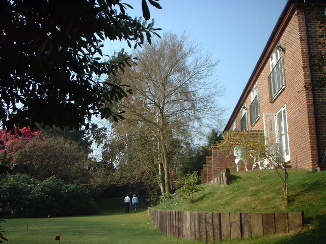
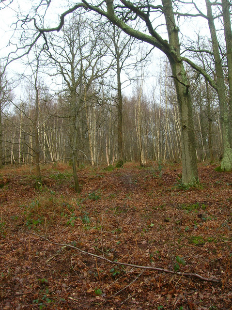
Barnetts Hill is a prominent hill located in the county of Sussex, in the southeast region of England. It forms part of the South Downs, a range of chalk hills that stretches across several counties. With an elevation of approximately 217 meters (712 feet), Barnetts Hill stands as one of the highest points in the immediate area.
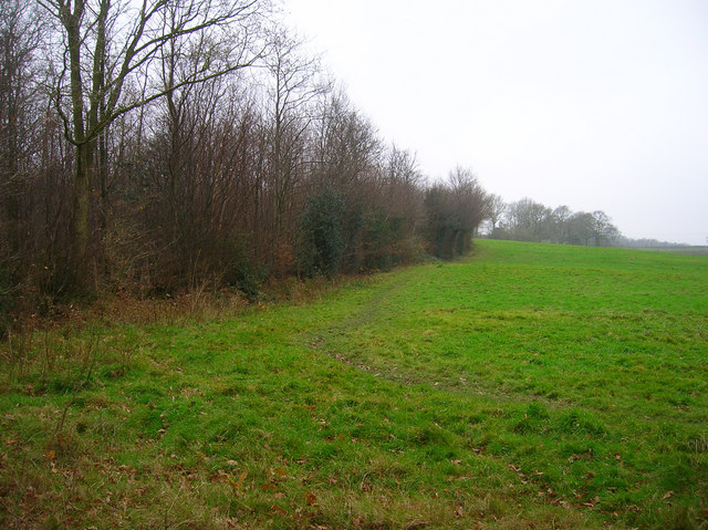
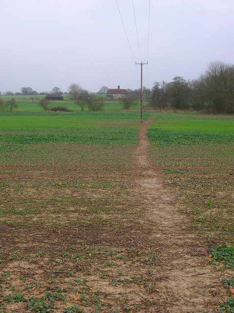
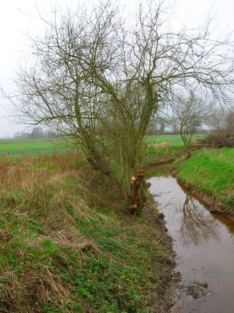
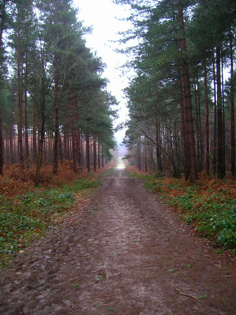
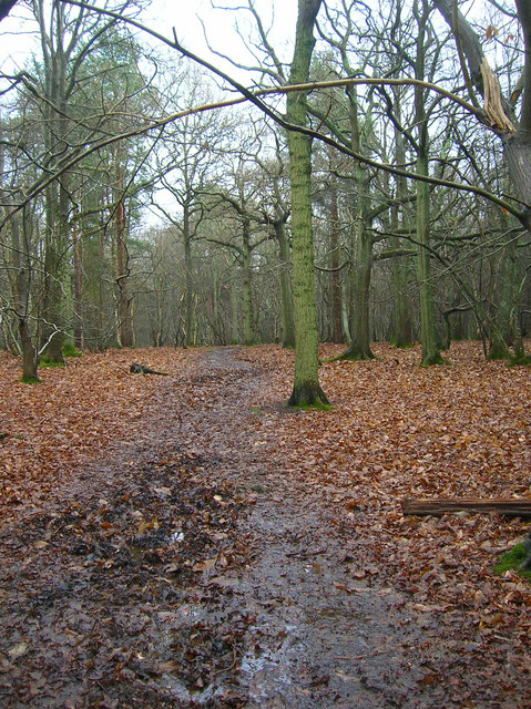
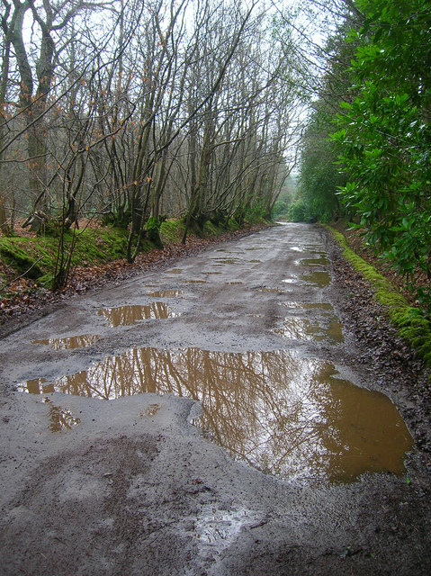
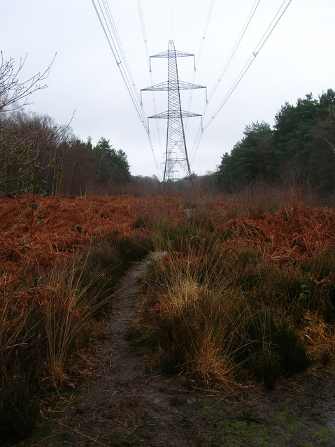
The hill is characterized by its undulating landscape, covered in lush greenery, and offers stunning panoramic views of the surrounding countryside. Its position within the South Downs National Park makes it a popular destination for outdoor enthusiasts and nature lovers alike.
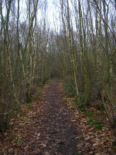
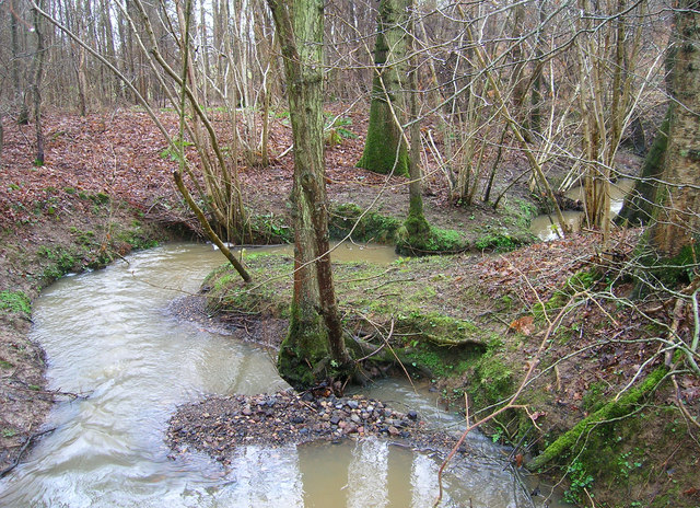
Barnetts Hill is renowned for its rich biodiversity, providing a habitat for various flora and fauna species. The hillside is adorned with vibrant wildflowers during spring and summer months, while oak and beech trees dominate the woodland areas. This diversity attracts a range of bird species, including the melodious song thrush, and occasional sightings of buzzards soaring overhead.
Visitors to Barnetts Hill can enjoy a range of activities, such as hiking, nature walks, and wildlife spotting. Several well-marked trails traverse the hill, allowing visitors to explore its natural beauty at their own pace. Additionally, the hill provides an ideal vantage point for photographers, capturing the breathtaking vistas and picturesque landscapes.
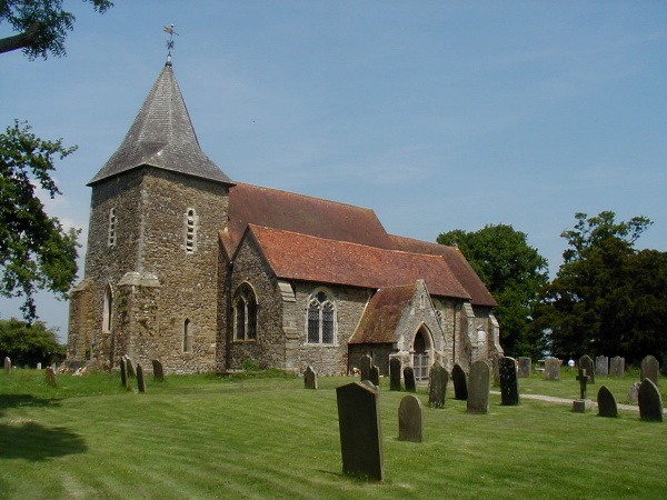
Barnetts Hill is not only a natural gem but also holds historical significance. It is believed to have been a site of human activity dating back to the Iron Age, with evidence of ancient settlements and burial mounds found in the surrounding area. This historical context adds another layer of intrigue to the hill, making it a fascinating destination for both nature and history enthusiasts alike.
If you have any feedback on the listing, please let us know in the comments section below.
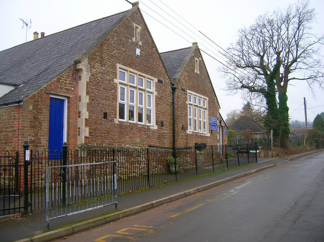
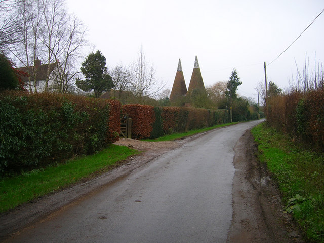
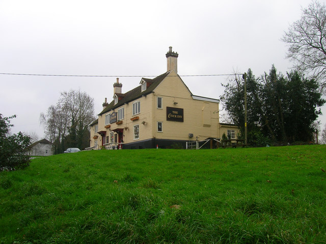
Barnetts Hill Images
Images are sourced within 2km of 50.978432/0.67090354 or Grid Reference TQ8723. Thanks to Geograph Open Source API. All images are credited.
Barnetts Hill is located at Grid Ref: TQ8723 (Lat: 50.978432, Lng: 0.67090354)
Administrative County: East Sussex
District: Rother
Police Authority: Sussex
What 3 Words
///assemble.holly.dolly. Near Northiam, East Sussex
Nearby Locations
Related Wikis
Peasmarsh
Peasmarsh is a village and civil parish in the Rother district, in the county of East Sussex in England. It is located on the A268 road between Rye and...

Flatropers Wood
Flatropers Wood is a 38-hectare (94-acre) nature reserve in Rye in East Sussex. It is managed by the Sussex Wildlife Trust.The wood is mainly oak and...

Beckley, East Sussex
Beckley is a village and civil parish in the Rother district of East Sussex, England. It is located on the B2088 minor road above the Rother Levels five...

Rye Foreign
Rye Foreign is a small hamlet and civil parish in the Rother district of East Sussex, England. The hamlet is about 2 miles (or 3 km) north-west of Rye...

Leasam Heronry Wood
Leasam Heronry Wood is a 2.1-hectare (5.2-acre) biological Site of Special Scientific Interest north-west of Rye in East Sussex.This wood is not long established...

Iden, East Sussex
Iden is a village and civil parish in the Rother district of East Sussex, England. The village is located two miles (3.2 km) north of Rye. Iden 12th/13th...

Udimore
Udimore is a village and civil parish in the Rother district of East Sussex, England. It is located five miles (8 km) west of Rye on the B2089 road to...
Wittersham
Wittersham is a small village and civil parish in the borough of Ashford in Kent, England. It is part of the Isle of Oxney. == History == The Domesday...
Nearby Amenities
Located within 500m of 50.978432,0.67090354Have you been to Barnetts Hill?
Leave your review of Barnetts Hill below (or comments, questions and feedback).