Oaken Wood

Wood, Forest in Sussex Rother

England

Oaken Wood

Flackley Ash Hotel Near Peasmarsh
Flackley Ash Hotel Credit: Chris Shaw

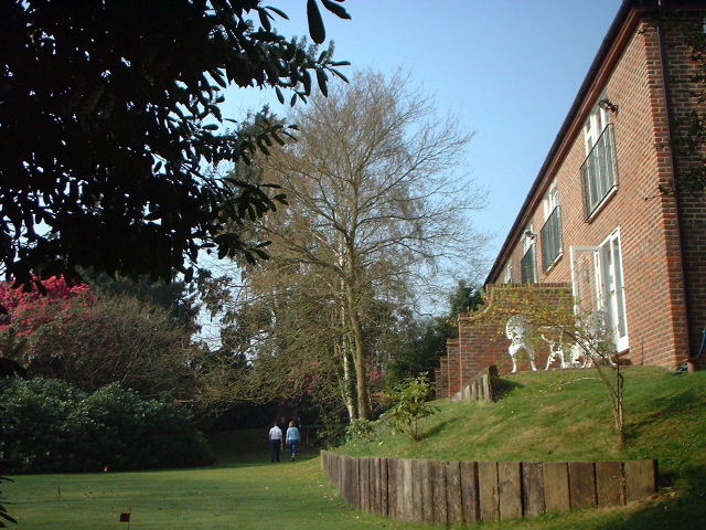
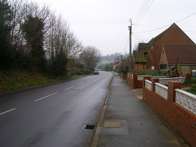
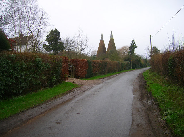
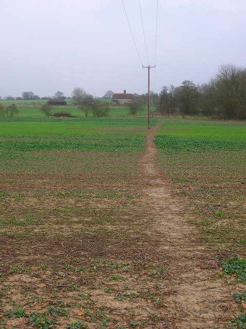
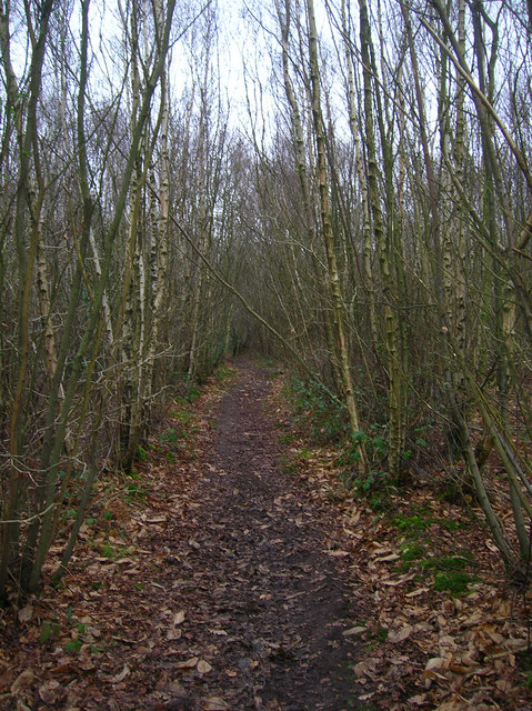
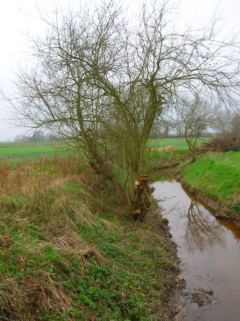
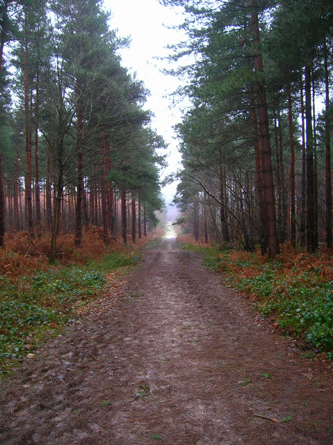
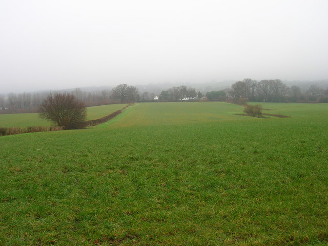
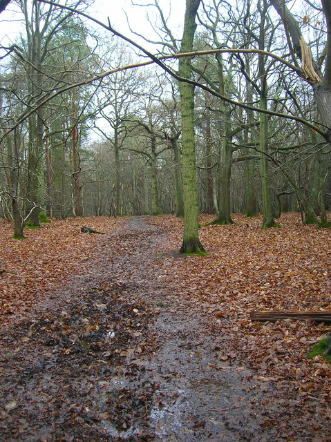
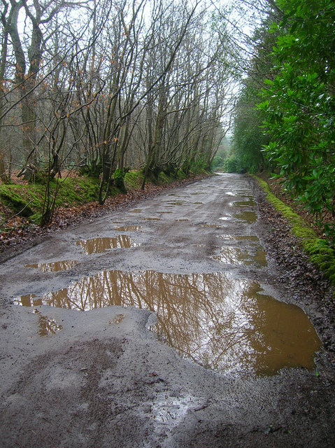
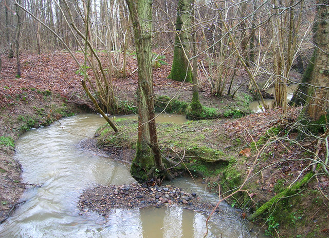
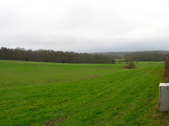
Oaken Wood, located in Sussex, England, is a serene and picturesque forest that spans across a vast area of approximately 250 hectares. This ancient woodland is known for its rich biodiversity and is home to a diverse range of flora and fauna, making it a popular destination for nature enthusiasts and wildlife lovers.

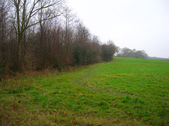
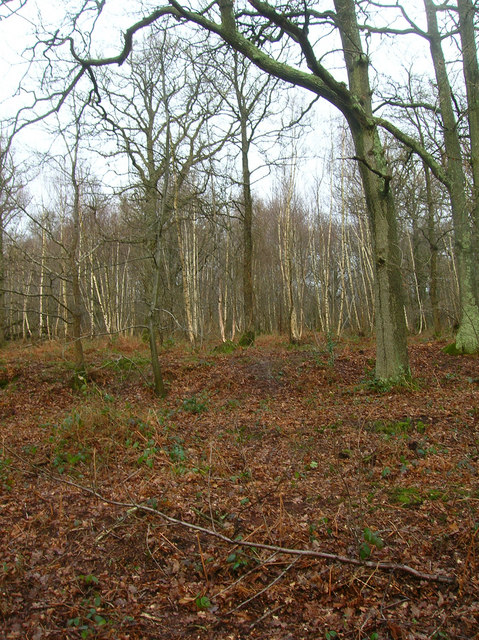
The wood is predominantly composed of oak trees, which give it its name, but it also boasts a variety of other tree species such as beech, ash, and hazel. The towering trees create a dense canopy, allowing only dappled sunlight to filter through, giving the woodland an enchanting and mystical atmosphere.

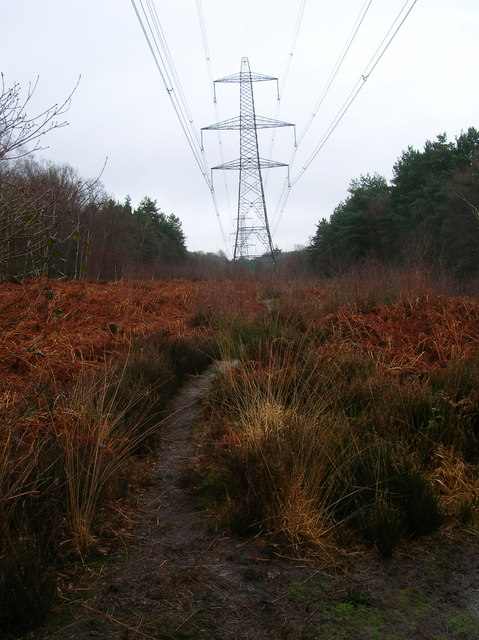
Walking through Oaken Wood, visitors can explore a network of well-maintained footpaths and trails that meander through the forest floor. These paths offer an opportunity to immerse oneself in the natural beauty of the area while observing the diverse wildlife that calls the wood home. Species such as deer, badgers, foxes, and various bird species can often be spotted amidst the undergrowth.

In addition to its natural beauty, Oaken Wood also has historical significance. It is believed to have been an important hunting ground during medieval times and remnants of ancient settlements and structures can still be found within the woodland.

Oaken Wood, with its tranquil atmosphere and abundant wildlife, provides a perfect escape from the hustle and bustle of modern life. It is a place where visitors can reconnect with nature, enjoy peaceful walks, and marvel at the wonders of the natural world.

If you have any feedback on the listing, please let us know in the comments section below.
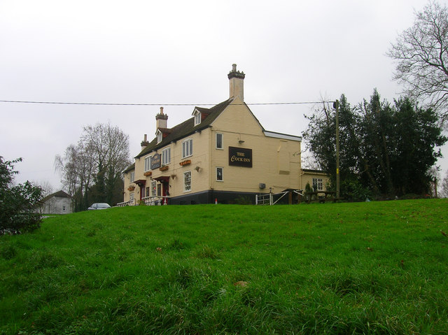
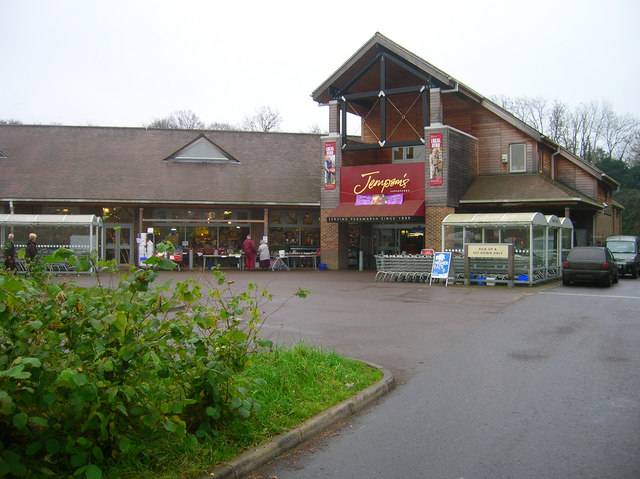
Oaken Wood Images

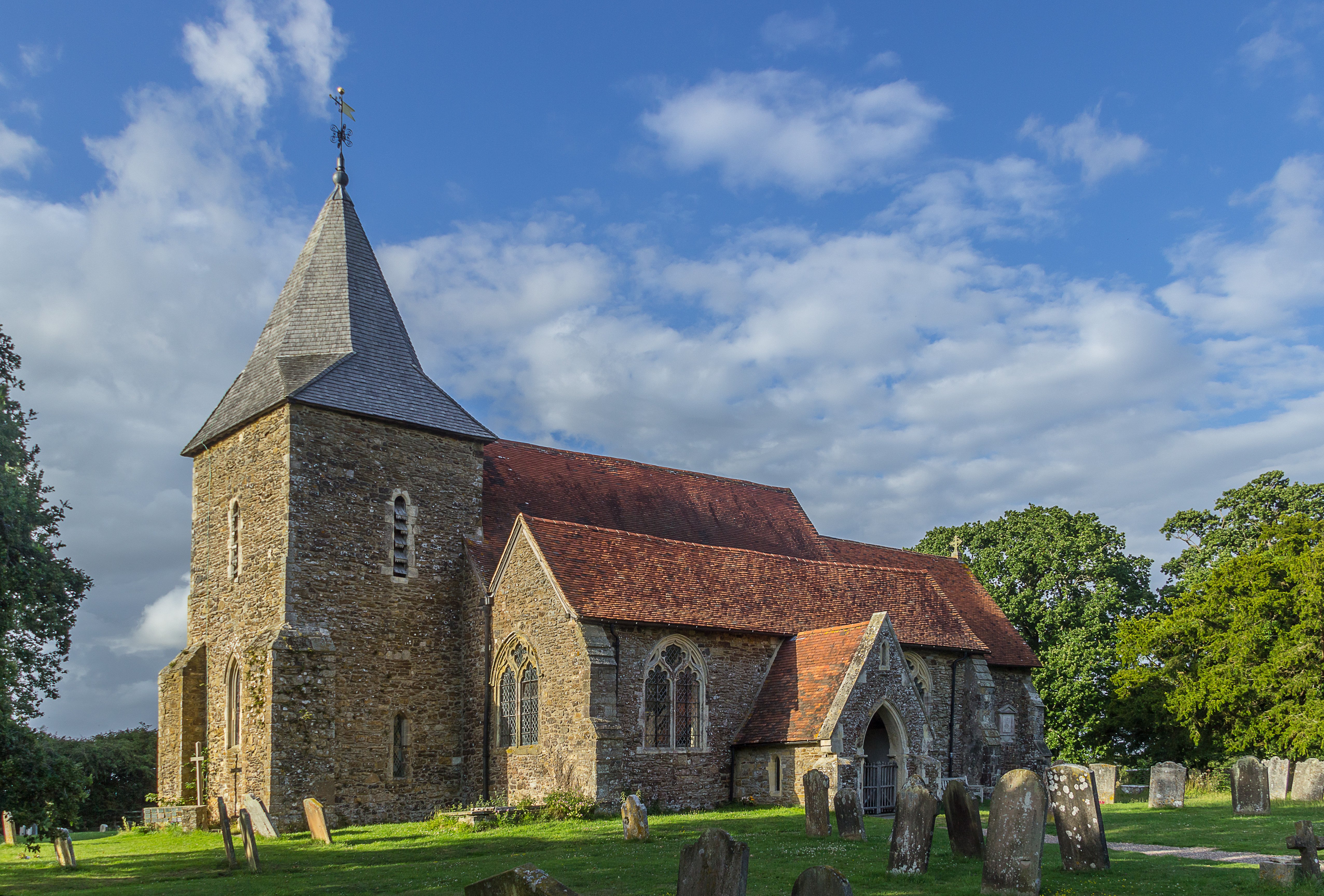
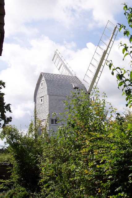
Images are sourced within 2km of 50.98359/0.66601304 or Grid Reference TQ8723. Thanks to Geograph Open Source API. All images are credited.

Flackley Ash Hotel Near Peasmarsh
Flackley Ash Hotel
Near Peasmarsh
Main Street, Peasmarsh This is the main A286 from Rye. The village itself is some distance from its church which suggests that the population may have moved to another site during the Black Death. The most famous current resident is Paul McCartney who has a country estate to the south of the village. Past famous residents include the Liddell family whose daughter Alice was subject to a couple of books by Lewis Carroll. The big building to the right is Griffin Hall, a church.
Main Street, Peasmarsh
This is the main A286 from Rye. The village itself is some distance from its church which suggests that the population may have moved to another site during the Black Death. The most famous current resident is Paul McCartney who has a country estate to the south of the village. Past famous residents include the Liddell family whose daughter Alice was subject to a couple of books by Lewis Carroll. The big building to the right is Griffin Hall, a church.
Cock Wood, Peasmarsh South of the village on the footpath that links School Lane with Tanhouse Lane. There are two Cock Woods in the vicinity the other is to the north of the village.
Cock Wood, Peasmarsh
South of the village on the footpath that links School Lane with Tanhouse Lane. There are two Cock Woods in the vicinity the other is to the north of the village.
Oasthouses, Tanhouse Lane, Peasmarsh The old tanhouse is the white building hidden behind the hedges.
Oasthouses, Tanhouse Lane, Peasmarsh
The old tanhouse is the white building hidden behind the hedges.
The Cock Inn, Main Street, Peasmarsh One of two inns in the village. This one is on the western side.
The Cock Inn, Main Street, Peasmarsh
One of two inns in the village. This one is on the western side.
Jempson's Superstore, Peasmarsh Independent supermarket which began life in the village as a small bakery in 1935. Today they have a few branches in Rye and Battle and have recently converted their old store into a modern supermarket whilst retaining some of the services of an old general stores.
Jempson's Superstore, Peasmarsh
Independent supermarket which began life in the village as a small bakery in 1935. Today they have a few branches in Rye and Battle and have recently converted their old store into a modern supermarket whilst retaining some of the services of an old general stores.
Footpath to Forstal Farm Taken from the junction of the footpath that leads down to the Rother Levels.
Footpath to Forstal Farm
Taken from the junction of the footpath that leads down to the Rother Levels.
Malthouse Wood Following the footpath from Peasmarsh to Old House Farm.
Malthouse Wood
Following the footpath from Peasmarsh to Old House Farm.
Woodside Stream Tributary of the Rother that rises in Peasmarsh Park. Taken from the footbridge that spans the stream.
Woodside Stream
Tributary of the Rother that rises in Peasmarsh Park. Taken from the footbridge that spans the stream.
Main Track, Bixley Wood Bixley Wood is a commercial wood owned by the Forestry Commission and is a mixture of Birch, Oak and Pine. This track is the white clearing on the Landranger map looking south.
Main Track, Bixley Wood
Bixley Wood is a commercial wood owned by the Forestry Commission and is a mixture of Birch, Oak and Pine. This track is the white clearing on the Landranger map looking south.
Fields North of Beckley Taken from the footpath linking King's Barn Lane with Bixley Wood, the low cloud still obscuring the horizon.
Fields North of Beckley
Taken from the footpath linking King's Barn Lane with Bixley Wood, the low cloud still obscuring the horizon.
Flatroper's Wood Open access land owned by the Sussex Wildlife Trust. Only a small part of the wood is the rest is in private ownership. The wood is home to the growing population of Wild Boar whose numbers have been growing steadily since the storms of 1987 destroyed fences and enabled a large number to escape into the wild. Booth this wood, Bixley Wood and Beckley Woods are now home to these nocturnal creatures.
Flatroper's Wood
Open access land owned by the Sussex Wildlife Trust. Only a small part of the wood is the rest is in private ownership. The wood is home to the growing population of Wild Boar whose numbers have been growing steadily since the storms of 1987 destroyed fences and enabled a large number to escape into the wild. Booth this wood, Bixley Wood and Beckley Woods are now home to these nocturnal creatures.
Bixley Lane Flatroper's Wood to the left, Bixley Wood to the right. Both have very fine woodbank boundaries. Bixley Lane is a rutted track between Bixley Wood car park and Birds Farm though it is possible to drive vehicles down it.
Bixley Lane
Flatroper's Wood to the left, Bixley Wood to the right. Both have very fine woodbank boundaries. Bixley Lane is a rutted track between Bixley Wood car park and Birds Farm though it is possible to drive vehicles down it.
Electricity Pylons, Flatroper's Wood. The gap created between the trees has allowed the ferns to colonise.
Electricity Pylons, Flatroper's Wood.
The gap created between the trees has allowed the ferns to colonise.
Flatroper's Wood Oak and birch in the southern part of the wood. Taken from the footpath that links Bixley Lane with Woodlands Farm.
Flatroper's Wood
Oak and birch in the southern part of the wood. Taken from the footpath that links Bixley Lane with Woodlands Farm.
Unnamed Stream, Ten Acre Wood At the point where Bixley Lane turns sharply west this stream runs underneath it. The sediment being carried by the stream is already building up here. The stream is a feeder for Eggshole Brook which itself  feeds the River Brede.
Unnamed Stream, Ten Acre Wood
At the point where Bixley Lane turns sharply west this stream runs underneath it. The sediment being carried by the stream is already building up here. The stream is a feeder for Eggshole Brook which itself feeds the River Brede.
Rockfield Plantation Little Shelley Wood is to the right whilst Beckley Woods are on the horizon.
Rockfield Plantation
Little Shelley Wood is to the right whilst Beckley Woods are on the horizon.
Rose Cottage, Tanhouse Lane At the point where Tanhouse Lane turns sharply east. Rose Cottage is the weatherboarded two story building to the left. The smaller cottage is unnamed.
Rose Cottage, Tanhouse Lane
At the point where Tanhouse Lane turns sharply east. Rose Cottage is the weatherboarded two story building to the left. The smaller cottage is unnamed.
Show me another place!

Oaken Wood is located at Grid Ref: TQ8723 (Lat: 50.98359, Lng: 0.66601304)

Administrative County: East Sussex

District: Rother

Police Authority: Sussex

What 3 Words

///labels.venues.concerned. Near Northiam, East Sussex

Related Wikis

Flatropers Wood

Flatropers Wood is a 38-hectare (94-acre) nature reserve in Rye in East Sussex. It is managed by the Sussex Wildlife Trust.The wood is mainly oak and...

Peasmarsh

Peasmarsh is a village and civil parish in the Rother district, in the county of East Sussex in England. It is located on the A268 road between Rye and...

Beckley, East Sussex

Beckley is a village and civil parish in the Rother district of East Sussex, England. It is located on the B2088 minor road above the Rother Levels five...

Rye Foreign

Rye Foreign is a small hamlet and civil parish in the Rother district of East Sussex, England. The hamlet is about 2 miles (or 3 km) north-west of Rye...

Leasam Heronry Wood

Leasam Heronry Wood is a 2.1-hectare (5.2-acre) biological Site of Special Scientific Interest north-west of Rye in East Sussex.This wood is not long established...

Wittersham

Wittersham is a small village and civil parish in the borough of Ashford in Kent, England. It is part of the Isle of Oxney. == History == The Domesday...

Iden, East Sussex

Iden is a village and civil parish in the Rother district of East Sussex, England. The village is located two miles (3.2 km) north of Rye. Iden 12th/13th...

Northiam SSSI

Northiam SSSI is a 0.3-hectare (0.74-acre) geological Site of Special Scientific Interest in Northiam in East Sussex. It is a Geological Conservation Review...

Nearby Amenities

Located within 500m of 50.98359,0.66601304
Power: tower
Source: Bing
Lat/Long: 50.9828425/0.6710013
Power: tower
Source: Bing
Lat/Long: 50.9814989/0.6663092
Generator Method: photovoltaic
Generator Output Electricity: yes
Generator Source: solar
Generator Type: solar_photovoltaic_panel
Location: roof
Power: generator
Lat/Long: 50.985985/0.6620121
The data included in this document is from www.openstreetmap.org. The data is made available under ODbL.

Have you been to Oaken Wood?

Leave your review of Oaken Wood below (or comments, questions and feedback).