Great Snare Hill

Hill, Mountain in Norfolk Breckland

England

Great Snare Hill

Salmond Drive, Barnham
Salmond Drive, Barnham Credit: David Howard

The requested URL returned error: 429 Too Many Requests

If you have any feedback on the listing, please let us know in the comments section below.

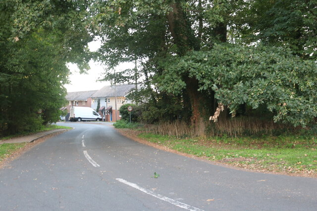
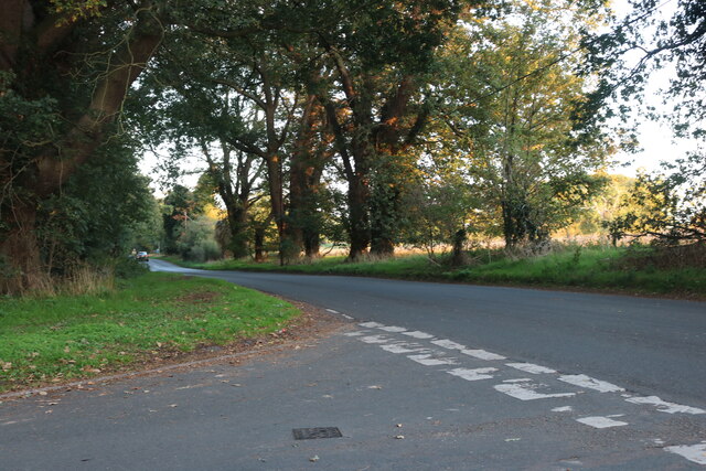
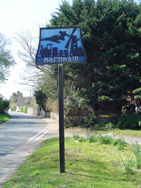
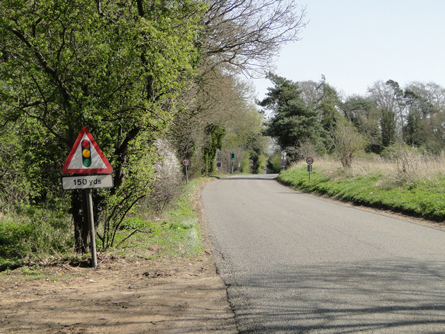
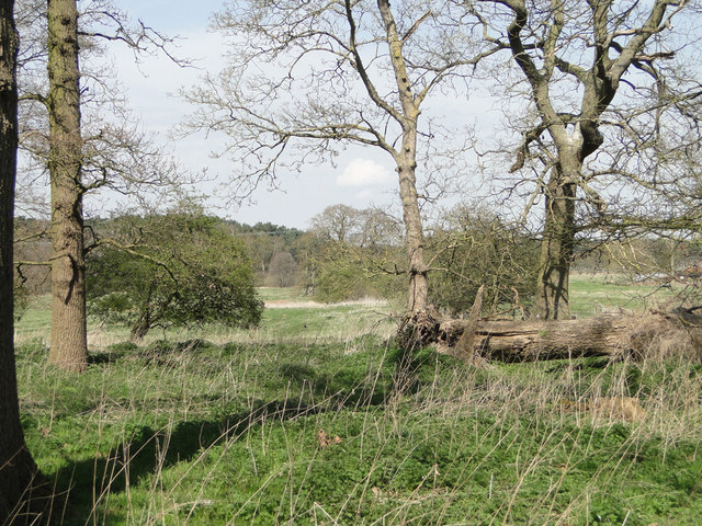
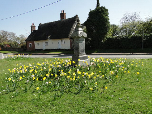
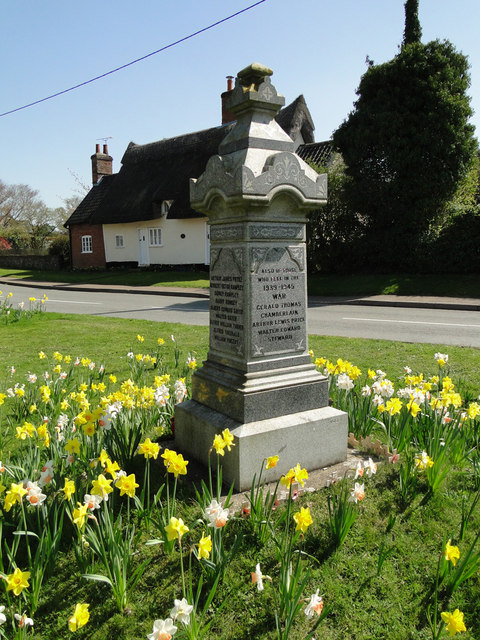
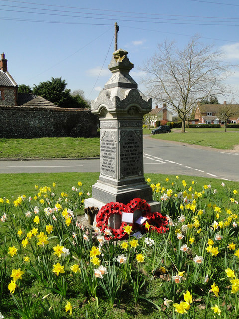
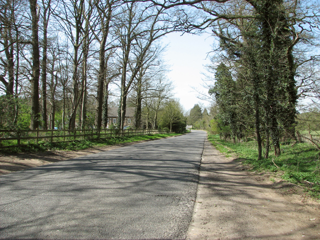
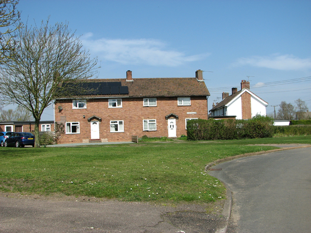
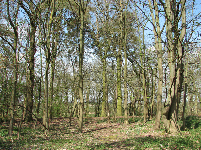
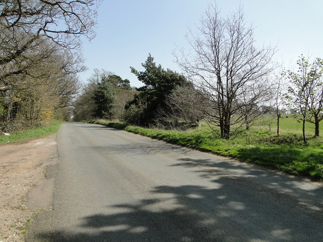
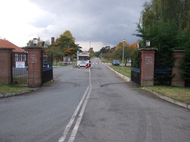
Great Snare Hill Images

Images are sourced within 2km of 52.391108/0.75526889 or Grid Reference TL8780. Thanks to Geograph Open Source API. All images are credited.

Salmond Drive, Barnham
Barnham Road at the junction of Salmond Drive
Barnham village sign Village signs are typically placed along the principal road or in a prominent location such as a village green or close by the church. The design often depicts a particularly feature of the village or a scene from its history, heritage, or culture. They are typically made of wood or metal or a combination of both, the designs are often made by the local community.
Although they do appear in villages and towns all over the country they are more prominent in East Anglia than elsewhere in the country.
Barnham village sign
Village signs are typically placed along the principal road or in a prominent location such as a village green or close by the church. The design often depicts a particularly feature of the village or a scene from its history, heritage, or culture. They are typically made of wood or metal or a combination of both, the designs are often made by the local community. Although they do appear in villages and towns all over the country they are more prominent in East Anglia than elsewhere in the country.
Traffic lights ahead on the A134 at Barnham
Fallen tree and meadowland behind
The war Memorial at Barnham There are 19 names for WW1 and 3 for WW2 which can be seen here: <a title="https://www.geograph.org.uk/photo/4430279" href="https://www.geograph.org.uk/photo/4430279">Link</a>
The war Memorial at Barnham
There are 19 names for WW1 and 3 for WW2 which can be seen here: Link
The War Memorial at Barnham There are 19 names for WW1 and 3 for WW2 which can be seen here: <a title="https://www.geograph.org.uk/photo/4430279" href="https://www.geograph.org.uk/photo/4430279">Link</a>
The War Memorial at Barnham
There are 19 names for WW1 and 3 for WW2 which can be seen here: Link
The War Memorial at Barnham The names on the Memorial for WW1 are: William Clarke, John Catchpole, Frederick Harold Davey, Sidney Charles Davey, John Davey, Edward Debenham, George Gaut, Edgar Gould, William Palfrey, Sidney Charles Pryke, Arthur James Pryke, Herbert Victor Rampley, Sidney Rampley,  Harry Rumsey, Albert Edward Sayer, Alfred William Turner, William Vincent. Names for WW2 are: Gerald Thomas Chamberlain, Arthur Lewis Price, Walter Edward Steward.
The War Memorial at Barnham
The names on the Memorial for WW1 are: William Clarke, John Catchpole, Frederick Harold Davey, Sidney Charles Davey, John Davey, Edward Debenham, George Gaut, Edgar Gould, William Palfrey, Sidney Charles Pryke, Arthur James Pryke, Herbert Victor Rampley, Sidney Rampley, Harry Rumsey, Albert Edward Sayer, Alfred William Turner, William Vincent. Names for WW2 are: Gerald Thomas Chamberlain, Arthur Lewis Price, Walter Edward Steward.
View along Station Road
Houses in Barnham village
Barnham village sign (detail) Not quite sure what the aircraft refers to. It could be RAF Honington or the bomb dump at Barnham Camp, perhaps both. The windmill, built for the Duke of Grafton in 1821 is now part of a private dwelling. The train recalls the days of The Bury and Thetford Railway Company opened on 1st March 1876. The last passenger train left the station in June 1953 and finally closed altogether seven years later.
Barnham village sign (detail)
Not quite sure what the aircraft refers to. It could be RAF Honington or the bomb dump at Barnham Camp, perhaps both. The windmill, built for the Duke of Grafton in 1821 is now part of a private dwelling. The train recalls the days of The Bury and Thetford Railway Company opened on 1st March 1876. The last passenger train left the station in June 1953 and finally closed altogether seven years later.
On the edge of Barnham Heath
Thatched cottage on Water Lane, Barnham
Benchmark on the south-west buttress of Barnham church tower
Mock-up of the War Memorial in the church <a title="https://www.geograph.org.uk/photo/4430279" href="https://www.geograph.org.uk/photo/4430279">Link</a>
Mock-up of the War Memorial in the church
Barnham Road near Gravehill Plantation
Field north of Station Road
Show me another place!

Great Snare Hill is located at Grid Ref: TL8780 (Lat: 52.391108, Lng: 0.75526889)

Administrative County: Norfolk

District: Breckland

Police Authority: Norfolk

What 3 Words

///dragonfly.factor.deeply. Near Thetford, Norfolk

Nearby Locations

Great Snare Hill

Related Wikis

Barnham Heath

Barnham Heath is a 78.6-hectare (194-acre) biological Site of Special Scientific Interest near Barnham, a village south of Thetford in Suffolk. It is a...

Barnham Cross Common

Barnham Cross Common is a 69.1-hectare (171-acre) biological Site of Special Scientific Interest on the southern outskirts of Thetford in Norfolk. It is...

RAF Barnham

RAF Barnham (also called Barnham Camp) is a Royal Air Force station situated in the English county of Suffolk 2 miles (3.2 km) south of the Norfolk town...
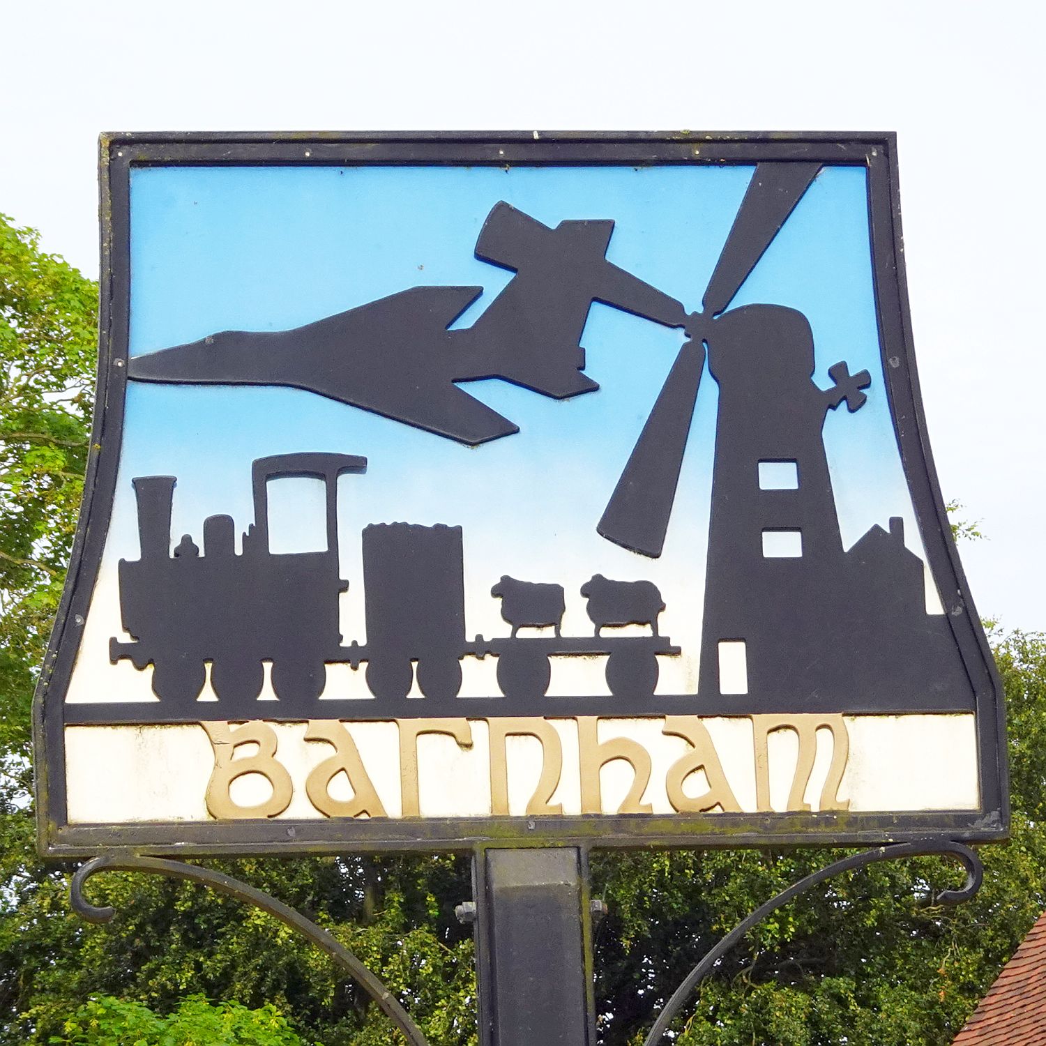
Barnham, Suffolk

Barnham is a village and civil parish in the West Suffolk district of the English county of Suffolk about 3 miles (4.8 km) south of Thetford and 9 miles...

Have you been to Great Snare Hill?

Leave your review of Great Snare Hill below (or comments, questions and feedback).