Frogs Hill
Hill, Mountain in Kent Ashford
England
Frogs Hill

Frogs Hill, located in Kent, England, is a small hill that forms part of the North Downs. Standing at an elevation of approximately 200 meters (656 feet), it is often referred to as a hill rather than a mountain due to its modest size. The hill is situated in the countryside, near the village of Trottiscliffe, and offers picturesque views of the surrounding landscape.
Frogs Hill is known for its rich biodiversity and is home to a variety of plants and animals. The area is covered in lush green grass, interspersed with patches of woodland, and dotted with wildflowers during the warmer months. The hill is particularly famous for being a haven for amphibians, including several species of frogs, hence its name.
Visitors to Frogs Hill can enjoy the tranquility and natural beauty of the area while taking leisurely walks along the numerous footpaths that crisscross the hill. These walking trails provide an opportunity to explore the diverse flora and fauna, as well as to enjoy the breathtaking views of the surrounding countryside.
For those interested in history, Frogs Hill also holds archaeological significance. The remains of an Iron Age hillfort can be found on the hill, indicating human occupation in the area dating back thousands of years. This adds an additional layer of intrigue and allure to the site.
Frogs Hill, Kent, offers a peaceful and picturesque retreat for nature enthusiasts and history buffs alike, with its stunning views, diverse wildlife, and intriguing archaeological remains.
If you have any feedback on the listing, please let us know in the comments section below.
Frogs Hill Images
Images are sourced within 2km of 51.019838/0.61220764 or Grid Reference TQ8327. Thanks to Geograph Open Source API. All images are credited.


Frogs Hill is located at Grid Ref: TQ8327 (Lat: 51.019838, Lng: 0.61220764)
Administrative County: Kent
District: Ashford
Police Authority: Kent
What 3 Words
///tinned.commuted.relay. Near Northiam, East Sussex
Nearby Locations
Related Wikis

Newenden
Newenden is a small village and civil parish in area and population in the Ashford District of Kent, England. == Geography == The village is clustered...
Lossenham Friary
Lossenham Friary was a Carmelite friary in Newenden in the Weald of Kent, England. == History == Sir Thomas Alcher or Aucher founded the third Carmelite...
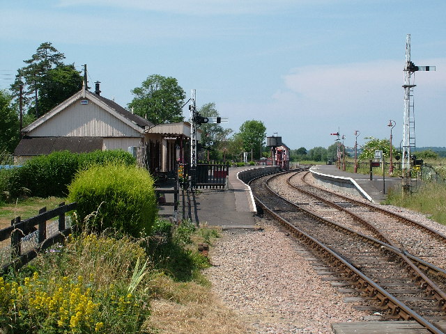
Northiam railway station
Northiam railway station is on the Kent and East Sussex Railway. It is located to the west of the level crossing on the A28 road linking the Kentish village...
Kensham
Kensham is a hamlet in Kent, between Rolvenden and Sandhurst. In the medieval era it was called Cassingham.

Northiam SSSI
Northiam SSSI is a 0.3-hectare (0.74-acre) geological Site of Special Scientific Interest in Northiam in East Sussex. It is a Geological Conservation Review...
Dixter Halt railway station
Dixter Halt was a short-lived halt station on the Kent and East Sussex Railway on an unmade road leading to Great Dixter house near Northiam in East Sussex...

Northiam Unitarian Chapel
Northiam Unitarian Chapel is a former place of worship for Unitarians in Northiam, a village in the district of Rother in the English county of East Sussex...

Great Dixter
Great Dixter is a house in Northiam, East Sussex, England. It was built in 1910–12 by architect Edwin Lutyens, who combined an existing mid-15th century...
Nearby Amenities
Located within 500m of 51.019838,0.61220764Have you been to Frogs Hill?
Leave your review of Frogs Hill below (or comments, questions and feedback).