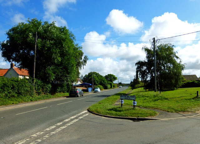
Beacon Hill
Hill, Mountain in Norfolk King's Lynn and West Norfolk
England
Beacon Hill
Beacon Hill is a prominent and historically significant hill located in Norfolk, England. Rising to a height of approximately 103 meters (338 feet), it is considered one of the highest points in the region, offering breathtaking panoramic views of the surrounding countryside.
Situated near the village of West Runton, Beacon Hill has a rich heritage dating back thousands of years. The hill is believed to have been used as an ancient signaling point during the Roman period and later during the Anglo-Saxon era. Its strategic location made it an ideal spot for sending messages across long distances, using beacon fires or other visual signals.
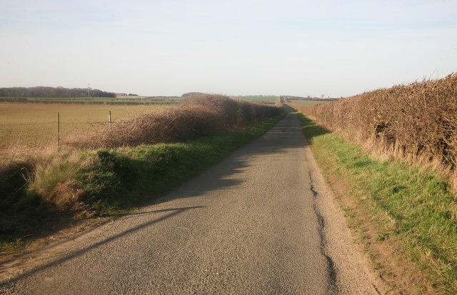
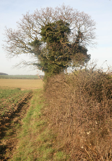
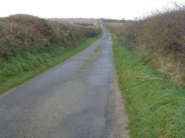
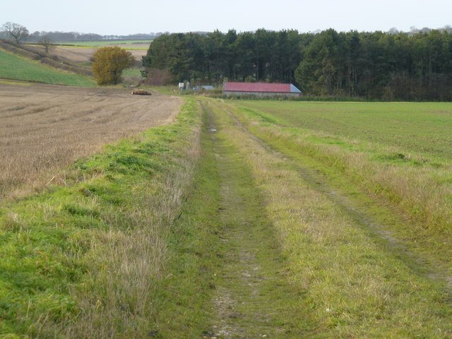
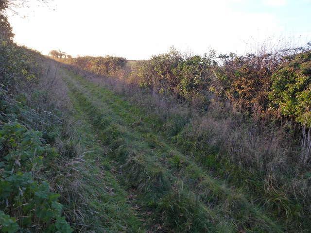
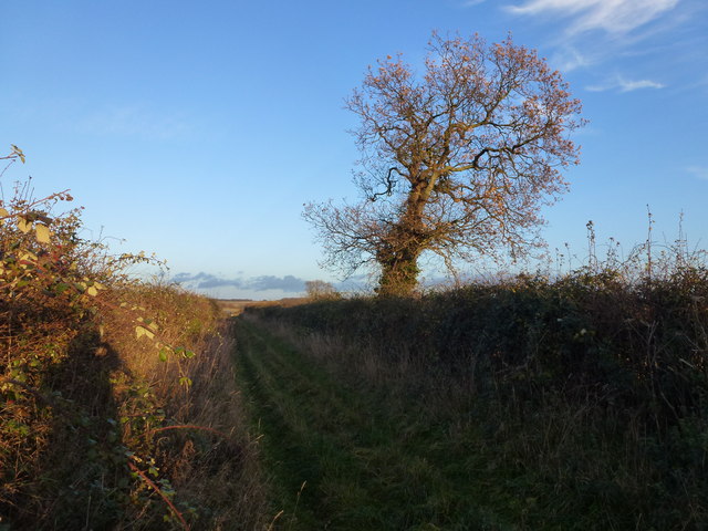
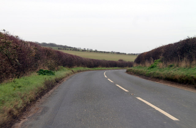
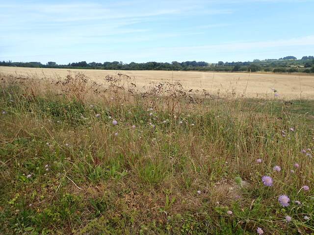
Today, Beacon Hill is a popular destination for nature enthusiasts, outdoor adventurers, and history buffs alike. The hill is part of a designated Area of Outstanding Natural Beauty, showcasing diverse flora and fauna, including wildflowers, butterflies, and birds. The surrounding countryside offers picturesque walking trails, allowing visitors to explore the area's natural beauty at their own pace.
In addition to its natural attractions, Beacon Hill is also home to an Iron Age hillfort. The remains of this ancient settlement can still be seen, including defensive earthworks and ramparts. Archaeological excavations have uncovered artifacts and evidence of human activity, shedding light on the hill's rich past.
Access to Beacon Hill is relatively easy, with a nearby car park and well-maintained footpaths leading to the summit. The hill's elevated position and captivating vistas make it a popular spot for photography, picnicking, or simply enjoying the peaceful surroundings.
In summary, Beacon Hill in Norfolk offers a harmonious blend of natural beauty and historical significance, making it a must-visit destination for those seeking an enriching and memorable experience.
If you have any feedback on the listing, please let us know in the comments section below.
Beacon Hill Images
Images are sourced within 2km of 52.934094/0.72382569 or Grid Reference TF8340. Thanks to Geograph Open Source API. All images are credited.
Beacon Hill is located at Grid Ref: TF8340 (Lat: 52.934094, Lng: 0.72382569)
Administrative County: Norfolk
District: King's Lynn and West Norfolk
Police Authority: Norfolk
What 3 Words
///personal.pumps.inflamed. Near Wells-next-the-Sea, Norfolk
Nearby Locations
Related Wikis

Burnham Market railway station
Burnham Market was a railway station which served the village of Burnham Market in Norfolk, England. Opened by the West Norfolk Junction railway in 1866...

Burnham Westgate Hall
Burnham Westgate Hall is a Georgian country house near Burnham Market, Norfolk, about 2 mi (3.2 km) south of the north Norfolk coast. It was remodelled...

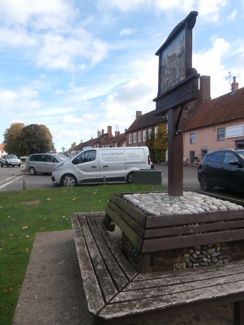
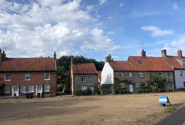
Burnham Market
Burnham Market is an English village and civil parish near the north coast of Norfolk. It is one of the Burnhams, a group of three adjacent villages that...

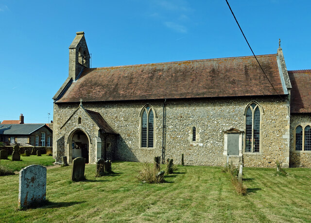
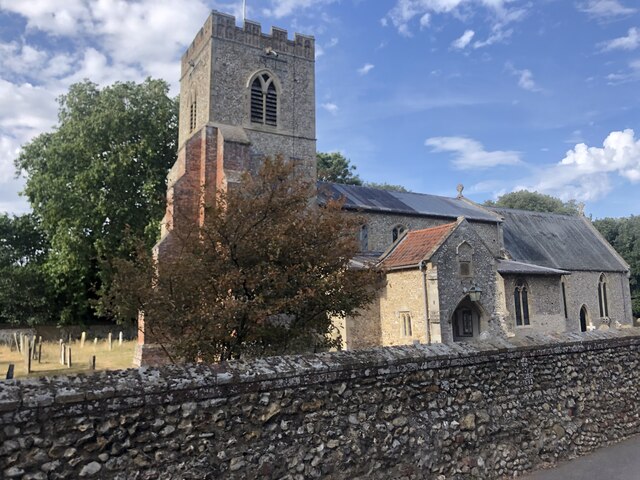
St Margaret's Church, Burnham Norton
St Margaret's Church is a round-tower church in Burnham Norton, Norfolk, England. Likely to have been built in the 11th century, the building retains many...

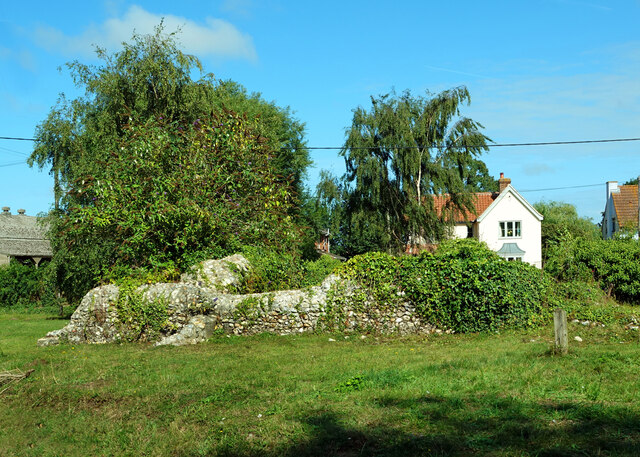
Burnham Norton Friary
Burnham Norton Friary was a Carmelite (White Friars) friary near Burnham Market in Norfolk, England. It is now a ruin. The friary was founded by Sir William...

Norfolk Burnhams
The Norfolk Burnhams are a group of adjacent villages on the north coast of Norfolk, England. The villages are located near a large natural bay named Brancaster...

Burnham Thorpe
Burnham Thorpe is a hamlet and civil parish on the River Burn and near the coast of Norfolk, England. It is famous for being the birthplace of Vice Admiral...

Creake Abbey
Creake Abbey is a ruined abbey in Norfolk, England, situated alongside the River Burn and a mile to the north of the village of North Creake. The abbey...
Nearby Amenities
Located within 500m of 52.934094,0.72382569Have you been to Beacon Hill?
Leave your review of Beacon Hill below (or comments, questions and feedback).