Gallow Hill

Hill, Mountain in Norfolk King's Lynn and West Norfolk

England

Gallow Hill

Rural Lane looking towards Burnham Market
Rural Lane looking towards Burnham Market Credit: roger geach

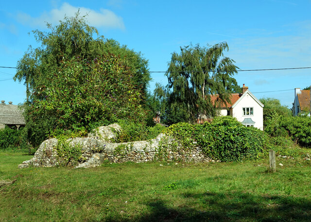
Gallow Hill, located in Norfolk, England, is a prominent hill that stands at an elevation of approximately 85 meters (279 feet) above sea level. It is situated in the town of Great Yarmouth, specifically in the area known as Southtown. The hill takes its name from its historical association with gallows, structures used for public executions in the past.

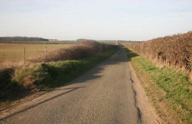
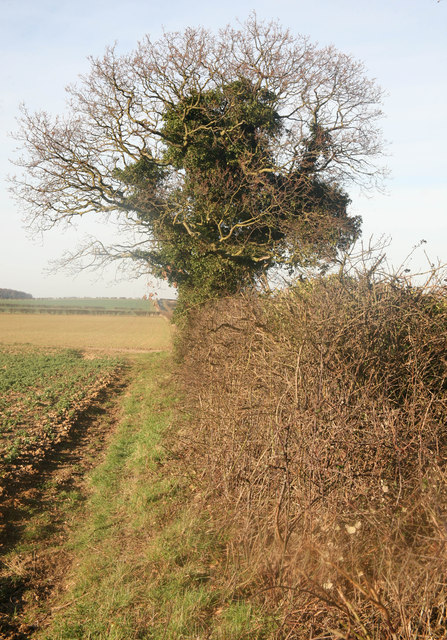
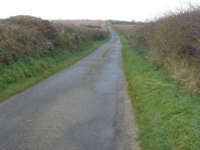
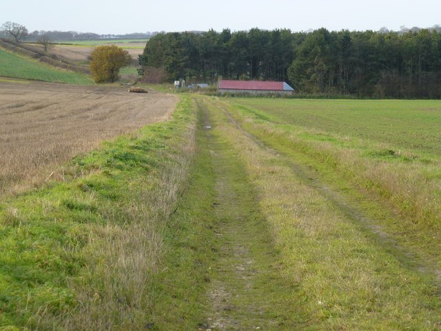
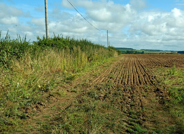
Gallow Hill is a natural formation, offering a commanding view of the surrounding landscape. It is covered in grass and scattered with a variety of trees and bushes. The hill is a popular spot for local residents and visitors alike, who come to enjoy the scenic vista it provides.

The hill's historical significance dates back to the Middle Ages when public executions were carried out on its slopes. Criminals convicted of serious crimes were brought here to meet their fate, often hanged from the gallows as a public spectacle. The exact number of executions that took place on Gallow Hill is unclear, but it remains an eerie reminder of the area's dark past.

Today, Gallow Hill serves as a reminder of Great Yarmouth's rich history and is an important landmark in the town. It attracts both history enthusiasts and nature lovers, offering a tranquil setting to explore or simply take in the panoramic views of the surrounding area.

If you have any feedback on the listing, please let us know in the comments section below.
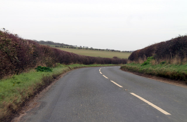
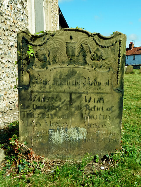
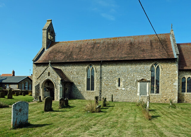
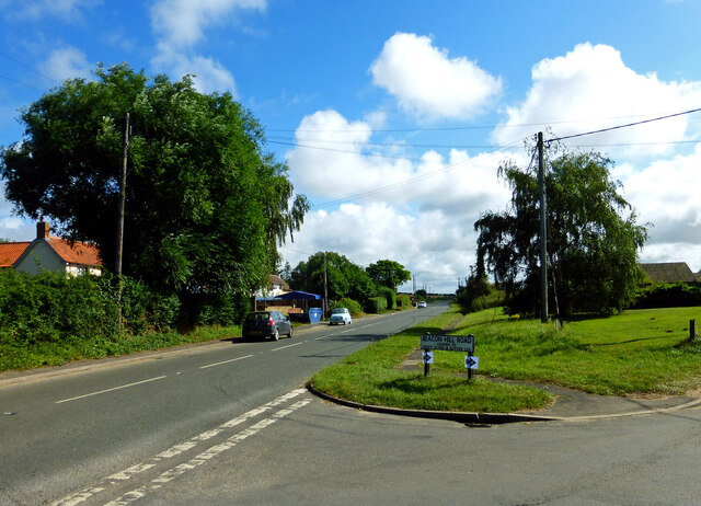
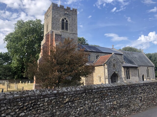
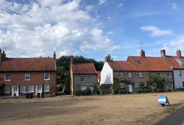
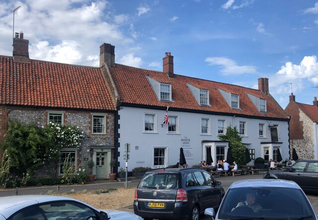
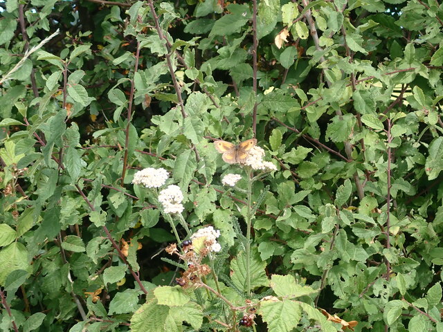
Gallow Hill Images

Images are sourced within 2km of 52.934658/0.71728302 or Grid Reference TF8240. Thanks to Geograph Open Source API. All images are credited.

Rural Lane looking towards Burnham Market
Norfolk Hedge Rural Norfolk hedge
Norfolk Hedge
Rural Norfolk hedge
Beacon Hill Road A narrow Norfolk lane leading to Burnham Market
Beacon Hill Road
A narrow Norfolk lane leading to Burnham Market
Green lane to Muckleton, Norfolk
B1155 north of Muckton Towards Burnham Market.
B1155 north of Muckton
Towards Burnham Market.
In All Saints Graveyard This gravestone marks the burial site of Martha and Mary Moxon, daughter and mother. Martha died in 1780, age 20 years, with Mary living until 1793 and 70 years of age. The stone records the two people side by side.
Carved across the top are a shining urn and two cherubs, which might be winged souls indicating the rise of the deceased to Heaven.
In All Saints Graveyard
This gravestone marks the burial site of Martha and Mary Moxon, daughter and mother. Martha died in 1780, age 20 years, with Mary living until 1793 and 70 years of age. The stone records the two people side by side. Carved across the top are a shining urn and two cherubs, which might be winged souls indicating the rise of the deceased to Heaven.
All Saints Church, Burnham Sutton cum Ulph During the 18th century the Reverend Nelson, father of Horatio, advised that the parish could no longer maintain its two churches. This resulted in Burnham Sutton church being demolished and the two congregations being amalgamated using the All Saints building.
All Saints Church, Burnham Sutton cum Ulph
During the 18th century the Reverend Nelson, father of Horatio, advised that the parish could no longer maintain its two churches. This resulted in Burnham Sutton church being demolished and the two congregations being amalgamated using the All Saints building.
Beacon Hill Road Viewed at the junction with Creake Road.
Beacon Hill Road
Viewed at the junction with Creake Road.
St Ethelbert’s Church ruins <a href="https://www.geograph.org.uk/photo/2047694">TF8341 : The ruins of St Ethelbert's church in Burnham Sutton</a> gives useful information about this site. The church was dedicated to St Ethelbert, an 8th century king of East Anglia.
St Ethelbert’s Church ruins
TF8341 : The ruins of St Ethelbert's church in Burnham Sutton gives useful information about this site. The church was dedicated to St Ethelbert, an 8th century king of East Anglia.
Fields near Burnham Market Already harvested and re-ploughed for the next crop.
Fields near Burnham Market
Already harvested and re-ploughed for the next crop.
Village sign, Burnham Market This village sign has been combined with a four-sided bench, where you can rest after buying books, delicatessen goods and green wellies, all of which can be purchased in the eponymous Market Place. Behind the sign the former Grooms Bakery is now Bombay Sprout <span class="nowrap"><a title="https://bombaysprout.com/" rel="nofollow ugc noopener" href="https://bombaysprout.com/">Link</a><img style="margin-left:2px;" alt="External link" title="External link - shift click to open in new window" src="https://s1.geograph.org.uk/img/external.png" width="10" height="10"/></span> and Aurina <span class="nowrap"><a title="https://burnhammarket.co.uk/aurina/" rel="nofollow ugc noopener" href="https://burnhammarket.co.uk/aurina/">Link</a><img style="margin-left:2px;" alt="External link" title="External link - shift click to open in new window" src="https://s1.geograph.org.uk/img/external.png" width="10" height="10"/></span> , both homewares shops.
Village sign, Burnham Market
This village sign has been combined with a four-sided bench, where you can rest after buying books, delicatessen goods and green wellies, all of which can be purchased in the eponymous Market Place. Behind the sign the former Grooms Bakery is now Bombay Sprout LinkExternal link and Aurina LinkExternal link , both homewares shops.
New housing development at Burnham Market
St Mary's Church, Burnham Market Parish church of Burnham Westgate. Largely C14, with a heavy restoration
of 1872 accounting for most exterior details. Flint with stone dressings. Listed Grade 1
St Mary's Church, Burnham Market
Parish church of Burnham Westgate. Largely C14, with a heavy restoration of 1872 accounting for most exterior details. Flint with stone dressings. Listed Grade 1
Houses on The Green, Burnham Market
The Hoste Arms, Burnham Market Grade II listed public house on The Green
The Hoste Arms, Burnham Market
Grade II listed public house on The Green
Gatekeeper Butterfly (Pyronia tithonus)  Also known as the Hedge Brown butterfly, the Gatekeeper is fond of brambly hedgerows. This is a male butterfly
Gatekeeper Butterfly (Pyronia tithonus)
Also known as the Hedge Brown butterfly, the Gatekeeper is fond of brambly hedgerows. This is a male butterfly
New large shed Near the junction of Joan Short's Lane and Walsingham Road
New large shed
Near the junction of Joan Short's Lane and Walsingham Road
Lane leading to the Sewage Works
Show me another place!

Gallow Hill is located at Grid Ref: TF8240 (Lat: 52.934658, Lng: 0.71728302)

Administrative County: Norfolk

District: King's Lynn and West Norfolk

Police Authority: Norfolk

What 3 Words

///tightrope.growl.laces. Near Wells-next-the-Sea, Norfolk

Related Wikis

Burnham Westgate Hall

Burnham Westgate Hall is a Georgian country house near Burnham Market, Norfolk, about 2 mi (3.2 km) south of the north Norfolk coast. It was remodelled...

Burnham Market railway station

Burnham Market was a railway station which served the village of Burnham Market in Norfolk, England. Opened by the West Norfolk Junction railway in 1866...

Burnham Market

Burnham Market is an English village and civil parish near the north coast of Norfolk. It is one of the Burnhams, a group of three adjacent villages that...

St Margaret's Church, Burnham Norton

St Margaret's Church is a round-tower church in Burnham Norton, Norfolk, England. Likely to have been built in the 11th century, the building retains many...

Burnham Norton Friary

Burnham Norton Friary was a Carmelite (White Friars) friary near Burnham Market in Norfolk, England. It is now a ruin. The friary was founded by Sir William...

Norfolk Burnhams

The Norfolk Burnhams are a group of adjacent villages on the north coast of Norfolk, England. The villages are located near a large natural bay named Brancaster...

Burnham Thorpe

Burnham Thorpe is a hamlet and civil parish on the River Burn and near the coast of Norfolk, England. It is famous for being the birthplace of Vice Admiral...

Burnham Norton

Burnham Norton is a village and civil parish in the English county of Norfolk, one of the Burnhams, an adjacent group in the northernmost part of Norfolk...

Nearby Amenities

Located within 500m of 52.934658,0.71728302
Gallow Hill Farm
Place: farm
Lat/Long: 52.937735/0.7158828
Gallow Hill
Place: locality
Lat/Long: 52.9351264/0.7170232
Communication Mobile Phone: yes
Man Made: mast
Material: metal
Operator: EE
Tower Construction: lattice
Tower Type: communication
Lat/Long: 52.9306953/0.7178309
The data included in this document is from www.openstreetmap.org. The data is made available under ODbL.

Have you been to Gallow Hill?

Leave your review of Gallow Hill below (or comments, questions and feedback).