Gallow Hill Wood

Wood, Forest in Norfolk King's Lynn and West Norfolk

England

Gallow Hill Wood

Rural Lane looking towards Burnham Market
Rural Lane looking towards Burnham Market Credit: roger geach

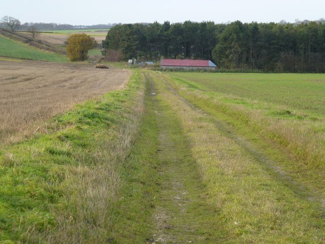
Gallow Hill Wood is a picturesque woodland located in Norfolk, England. Covering an area of approximately 100 acres, it is nestled within the heart of the Norfolk countryside, offering visitors a tranquil and enchanting experience.

The wood is characterized by its diverse range of tree species, including oak, birch, and beech, which create a rich and vibrant canopy throughout the seasons. The forest floor is adorned with an array of native wildflowers, such as bluebells and primroses, adding bursts of color to the landscape.

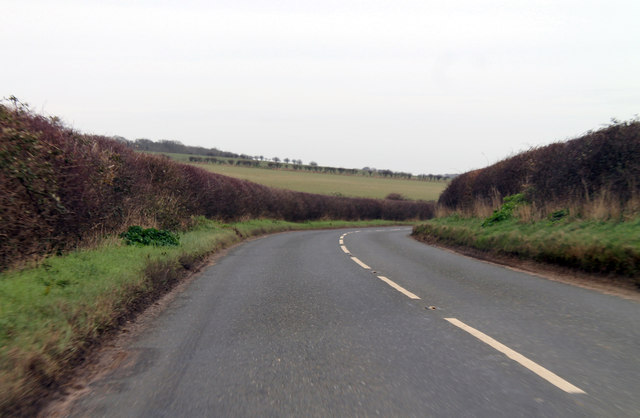
The wood is crisscrossed by a network of well-maintained footpaths, allowing visitors to explore its natural beauty at their own pace. As visitors wander through the wood, they may encounter various wildlife species, including deer, rabbits, and a variety of bird species, making it a haven for nature enthusiasts and birdwatchers.

At the heart of Gallow Hill Wood lies a tranquil pond, providing a peaceful spot for reflection and a habitat for aquatic plants and creatures. The sound of running water from a nearby stream adds to the soothing ambiance of the wood.

Gallow Hill Wood is a popular destination for outdoor activities, such as walking, picnicking, and photography. It also serves as an educational resource for schools and nature organizations, offering guided tours and workshops to learn about the local ecosystem and conservation efforts.

In summary, Gallow Hill Wood is a captivating woodland in Norfolk that offers visitors a peaceful retreat amidst nature's beauty. Its diverse flora and fauna, well-maintained trails, and serene pond make it a must-visit destination for anyone seeking a connection with the natural world.

If you have any feedback on the listing, please let us know in the comments section below.

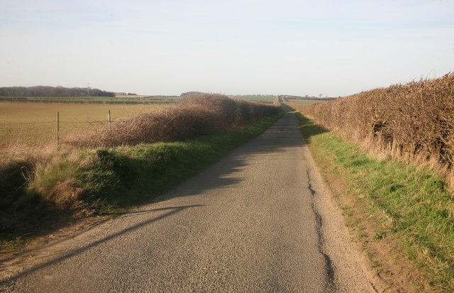
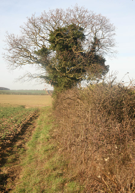
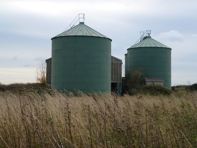
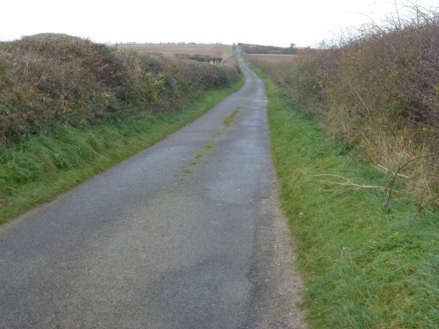
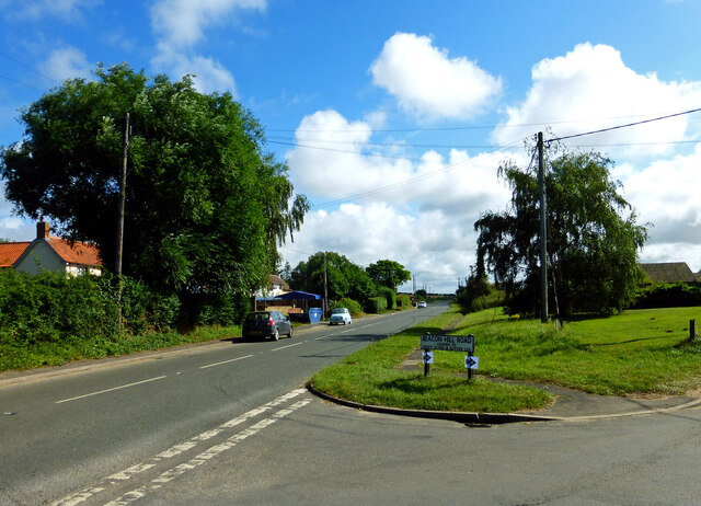
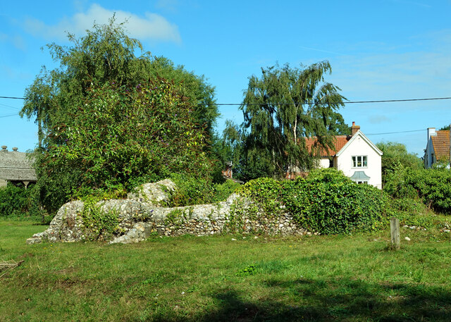
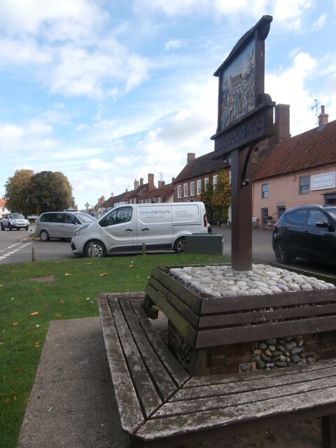
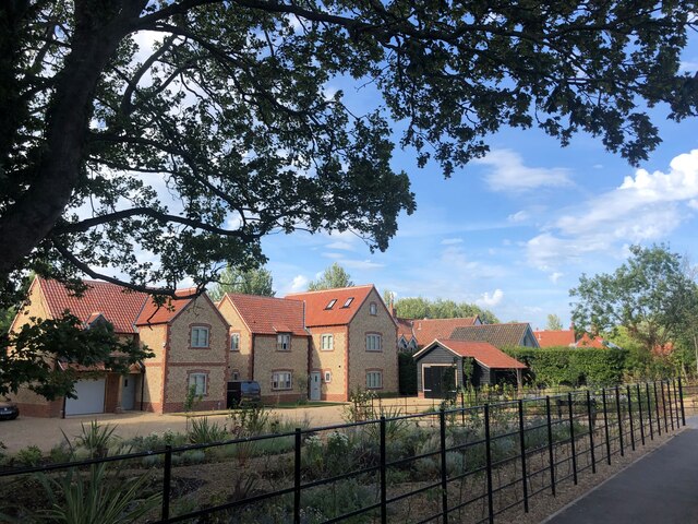
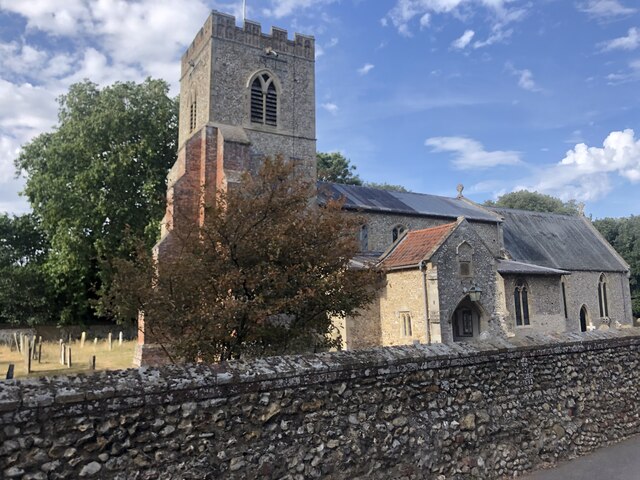
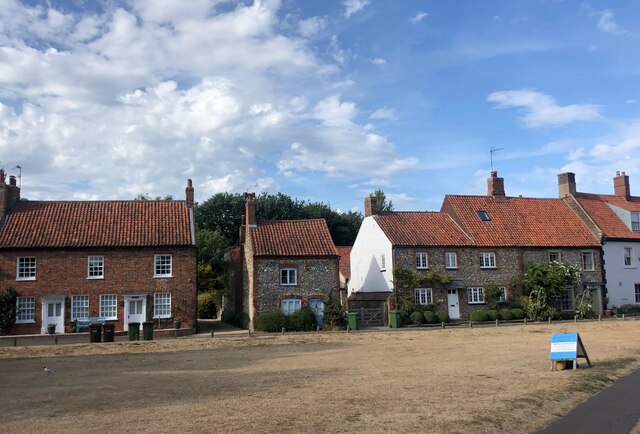
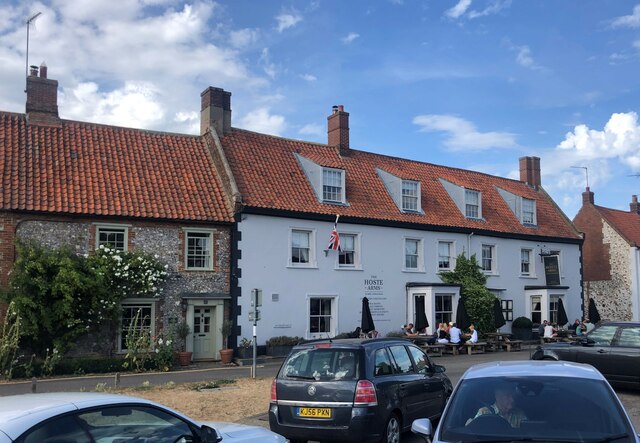
Gallow Hill Wood Images

Images are sourced within 2km of 52.93165/0.71550223 or Grid Reference TF8240. Thanks to Geograph Open Source API. All images are credited.

Rural Lane looking towards Burnham Market
Norfolk Hedge Rural Norfolk hedge
Norfolk Hedge
Rural Norfolk hedge
Private drive to Muckleton Farm A hamlet in Norfolk
Private drive to Muckleton Farm
A hamlet in Norfolk
Disused grain dryer and store near Shammer, Norfolk
Disused grain silos near Shammer, Norfolk
Beacon Hill Road A narrow Norfolk lane leading to Burnham Market
Beacon Hill Road
A narrow Norfolk lane leading to Burnham Market
Green lane to Muckleton, Norfolk
B1155 north of Muckton Towards Burnham Market.
B1155 north of Muckton
Towards Burnham Market.
Fieldside Track at the Ordnance Survey Triangulation Pillar Looking eastward.
Fieldside Track at the Ordnance Survey Triangulation Pillar
Looking eastward.
In All Saints Graveyard This gravestone marks the burial site of Martha and Mary Moxon, daughter and mother. Martha died in 1780, age 20 years, with Mary living until 1793 and 70 years of age. The stone records the two people side by side.
Carved across the top are a shining urn and two cherubs, which might be winged souls indicating the rise of the deceased to Heaven.
In All Saints Graveyard
This gravestone marks the burial site of Martha and Mary Moxon, daughter and mother. Martha died in 1780, age 20 years, with Mary living until 1793 and 70 years of age. The stone records the two people side by side. Carved across the top are a shining urn and two cherubs, which might be winged souls indicating the rise of the deceased to Heaven.
All Saints Church, Burnham Sutton cum Ulph During the 18th century the Reverend Nelson, father of Horatio, advised that the parish could no longer maintain its two churches. This resulted in Burnham Sutton church being demolished and the two congregations being amalgamated using the All Saints building.
All Saints Church, Burnham Sutton cum Ulph
During the 18th century the Reverend Nelson, father of Horatio, advised that the parish could no longer maintain its two churches. This resulted in Burnham Sutton church being demolished and the two congregations being amalgamated using the All Saints building.
Beacon Hill Road Viewed at the junction with Creake Road.
Beacon Hill Road
Viewed at the junction with Creake Road.
St Ethelbert’s Church ruins <a href="https://www.geograph.org.uk/photo/2047694">TF8341 : The ruins of St Ethelbert's church in Burnham Sutton</a> gives useful information about this site. The church was dedicated to St Ethelbert, an 8th century king of East Anglia.
St Ethelbert’s Church ruins
TF8341 : The ruins of St Ethelbert's church in Burnham Sutton gives useful information about this site. The church was dedicated to St Ethelbert, an 8th century king of East Anglia.
Village sign, Burnham Market This village sign has been combined with a four-sided bench, where you can rest after buying books, delicatessen goods and green wellies, all of which can be purchased in the eponymous Market Place. Behind the sign the former Grooms Bakery is now Bombay Sprout <span class="nowrap"><a title="https://bombaysprout.com/" rel="nofollow ugc noopener" href="https://bombaysprout.com/">Link</a><img style="margin-left:2px;" alt="External link" title="External link - shift click to open in new window" src="https://s1.geograph.org.uk/img/external.png" width="10" height="10"/></span> and Aurina <span class="nowrap"><a title="https://burnhammarket.co.uk/aurina/" rel="nofollow ugc noopener" href="https://burnhammarket.co.uk/aurina/">Link</a><img style="margin-left:2px;" alt="External link" title="External link - shift click to open in new window" src="https://s1.geograph.org.uk/img/external.png" width="10" height="10"/></span> , both homewares shops.
Village sign, Burnham Market
This village sign has been combined with a four-sided bench, where you can rest after buying books, delicatessen goods and green wellies, all of which can be purchased in the eponymous Market Place. Behind the sign the former Grooms Bakery is now Bombay Sprout LinkExternal link and Aurina LinkExternal link , both homewares shops.
New housing development at Burnham Market
St Mary's Church, Burnham Market Parish church of Burnham Westgate. Largely C14, with a heavy restoration
of 1872 accounting for most exterior details. Flint with stone dressings. Listed Grade 1
St Mary's Church, Burnham Market
Parish church of Burnham Westgate. Largely C14, with a heavy restoration of 1872 accounting for most exterior details. Flint with stone dressings. Listed Grade 1
Houses on The Green, Burnham Market
The Hoste Arms, Burnham Market Grade II listed public house on The Green
The Hoste Arms, Burnham Market
Grade II listed public house on The Green
Show me another place!

Gallow Hill Wood is located at Grid Ref: TF8240 (Lat: 52.93165, Lng: 0.71550223)

Administrative County: Norfolk

District: King's Lynn and West Norfolk

Police Authority: Norfolk

What 3 Words

///vessel.safety.ambushed. Near Wells-next-the-Sea, Norfolk

Related Wikis

Burnham Market railway station

Burnham Market was a railway station which served the village of Burnham Market in Norfolk, England. Opened by the West Norfolk Junction railway in 1866...

Burnham Westgate Hall

Burnham Westgate Hall is a Georgian country house near Burnham Market, Norfolk, about 2 mi (3.2 km) south of the north Norfolk coast. It was remodelled...

Burnham Market

Burnham Market is an English village and civil parish near the north coast of Norfolk. It is one of the Burnhams, a group of three adjacent villages that...

St Margaret's Church, Burnham Norton

St Margaret's Church is a round-tower church in Burnham Norton, Norfolk, England. Likely to have been built in the 11th century, the building retains many...

Burnham Norton Friary

Burnham Norton Friary was a Carmelite (White Friars) friary near Burnham Market in Norfolk, England. It is now a ruin. The friary was founded by Sir William...

Norfolk Burnhams

The Norfolk Burnhams are a group of adjacent villages on the north coast of Norfolk, England. The villages are located near a large natural bay named Brancaster...

Burnham Thorpe

Burnham Thorpe is a hamlet and civil parish on the River Burn and near the coast of Norfolk, England. It is famous for being the birthplace of Vice Admiral...

Creake Abbey

Creake Abbey is a ruined abbey in Norfolk, England, situated alongside the River Burn and a mile to the north of the village of North Creake. The abbey...

Nearby Amenities

Located within 500m of 52.93165,0.71550223
Gallow Hill
Place: locality
Lat/Long: 52.9351264/0.7170232
Communication Mobile Phone: yes
Man Made: mast
Material: metal
Operator: EE
Tower Construction: lattice
Tower Type: communication
Lat/Long: 52.9306953/0.7178309
The data included in this document is from www.openstreetmap.org. The data is made available under ODbL.

Have you been to Gallow Hill Wood?

Leave your review of Gallow Hill Wood below (or comments, questions and feedback).