Plumtree Hill
Hill, Mountain in Essex Castle Point
England
Plumtree Hill
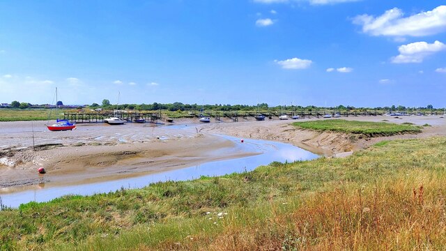
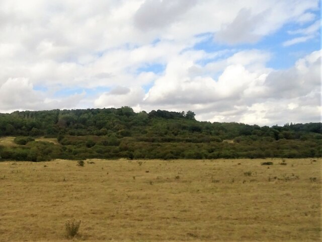
Plumtree Hill, located in Essex, is a notable hill or mountain that stands as an impressive natural feature in the region. Rising to an elevation of approximately 342 feet (104 meters), it is situated in the southwestern part of the county, close to the village of Shellow Bowells. The hill is known for its picturesque views and its significant geological formation.
Plumtree Hill is characterized by its gently sloping sides and a rounded summit, covered with lush vegetation, including grasses, shrubs, and trees. Its geological composition comprises predominantly sandstone and clay, which contribute to its stability and visual appeal. The hill is surrounded by agricultural fields and small woodlands, further enhancing its scenic beauty.
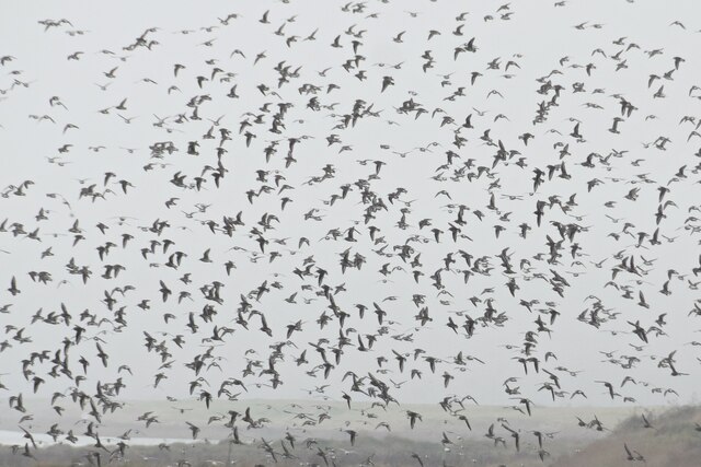
Visitors to Plumtree Hill can enjoy a range of activities, such as hiking, nature walks, and birdwatching. The hill's elevated position offers panoramic views of the surrounding countryside, allowing visitors to appreciate the natural landscapes and the tranquility of the area. On clear days, it is possible to see neighboring hills in the distance, adding to the sense of awe and wonder.
Plumtree Hill also holds cultural and historical significance, with evidence of human activity dating back centuries. The hill may have served as a landmark or meeting point for local communities in the past, and remnants of ancient settlements or burial sites have been discovered in the vicinity.
In summary, Plumtree Hill is a stunning natural feature in Essex, offering visitors the opportunity to immerse themselves in its scenic beauty, engage in outdoor activities, and appreciate its rich geological and historical heritage.
If you have any feedback on the listing, please let us know in the comments section below.
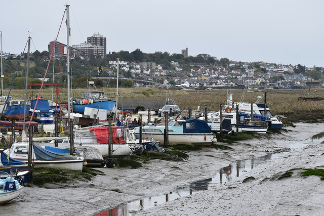
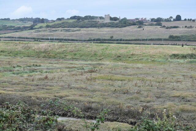
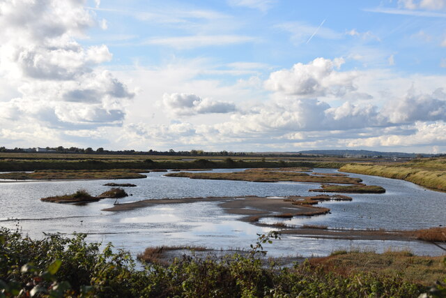
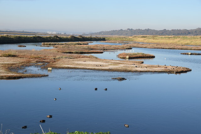
Plumtree Hill Images
Images are sourced within 2km of 51.546127/0.60590144 or Grid Reference TQ8086. Thanks to Geograph Open Source API. All images are credited.


Plumtree Hill is located at Grid Ref: TQ8086 (Lat: 51.546127, Lng: 0.60590144)
Administrative County: Essex
District: Castle Point
Police Authority: Essex
What 3 Words
///icon.filed.rides. Near Hadleigh, Essex
Nearby Locations
Related Wikis

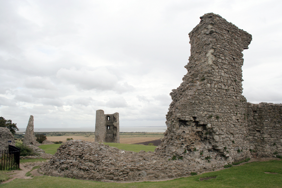
Hadleigh Castle
Hadleigh Castle is a ruined fortification in the English county of Essex, overlooking the Thames Estuary from south of the town of Hadleigh. Built after...
Hadleigh Farm
Hadleigh Farm is an educational working farm and cross-country cycling venue located in Hadleigh, within the borough of Castle Point, in the county of...

Church of St James the Less, Hadleigh
The Church of St James the Less, is a grade I listed church in Hadleigh, Essex.The church is of predominantly Norman construction with the chancel and...
Hadleigh, Essex
Hadleigh is a town and former civil parish, in the borough of Castle Point, in southeast Essex, England, on the A13 between Thundersley, Benfleet and Leigh...

Benfleet Urban District
Benfleet Urban District was an urban district in the county of Essex, England. It was created on 1 October 1929 from the parts of Rochford Rural District...
The King John School
The King John School, often abbreviated to King John, is a secondary academy school with a sixth form in South Benfleet, Essex, England. It is named after...

Great Wood and Dodd's Grove
Great Wood and Dodd's Grove is a 36.8-hectare (91-acre) biological Site of Special Scientific Interest in Leigh-on-Sea in Essex. It is also a Local Nature...

Two Tree Island
Two Tree Island is a small island lying north-east of Canvey Island and south-west of Leigh-on-Sea in Essex, England. It covers 257 hectares (640 acres...
Nearby Amenities
Located within 500m of 51.546127,0.60590144Have you been to Plumtree Hill?
Leave your review of Plumtree Hill below (or comments, questions and feedback).