Detling Hill

Hill, Mountain in Kent Maidstone

England

Detling Hill

Hermitage Lane, Detling A steep track leading to part of the North Downs Way to the west of the village.
Hermitage Lane, Detling Credit: pam fray

Detling Hill is a prominent geographical feature located in Kent, England. Standing at an elevation of 192 meters (630 feet), it is often referred to as a hill or a small mountain due to its steep gradient and commanding presence in the landscape. Situated near the village of Detling, the hill lies within the North Downs, a range of chalk hills that stretch across southeast England.

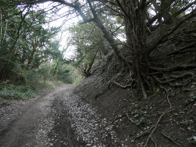
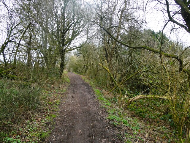
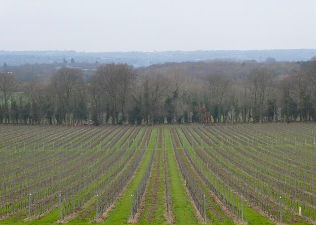
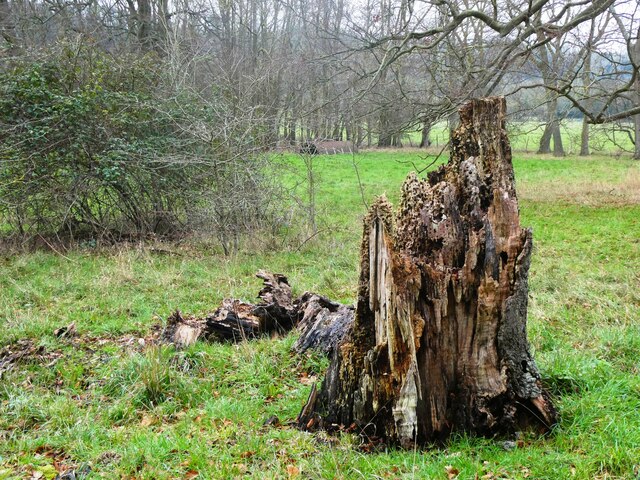
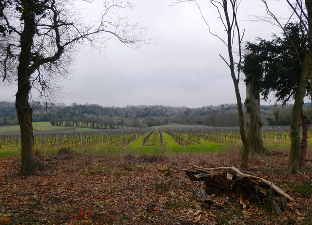
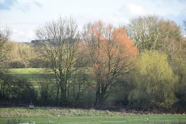
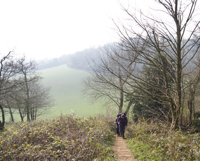
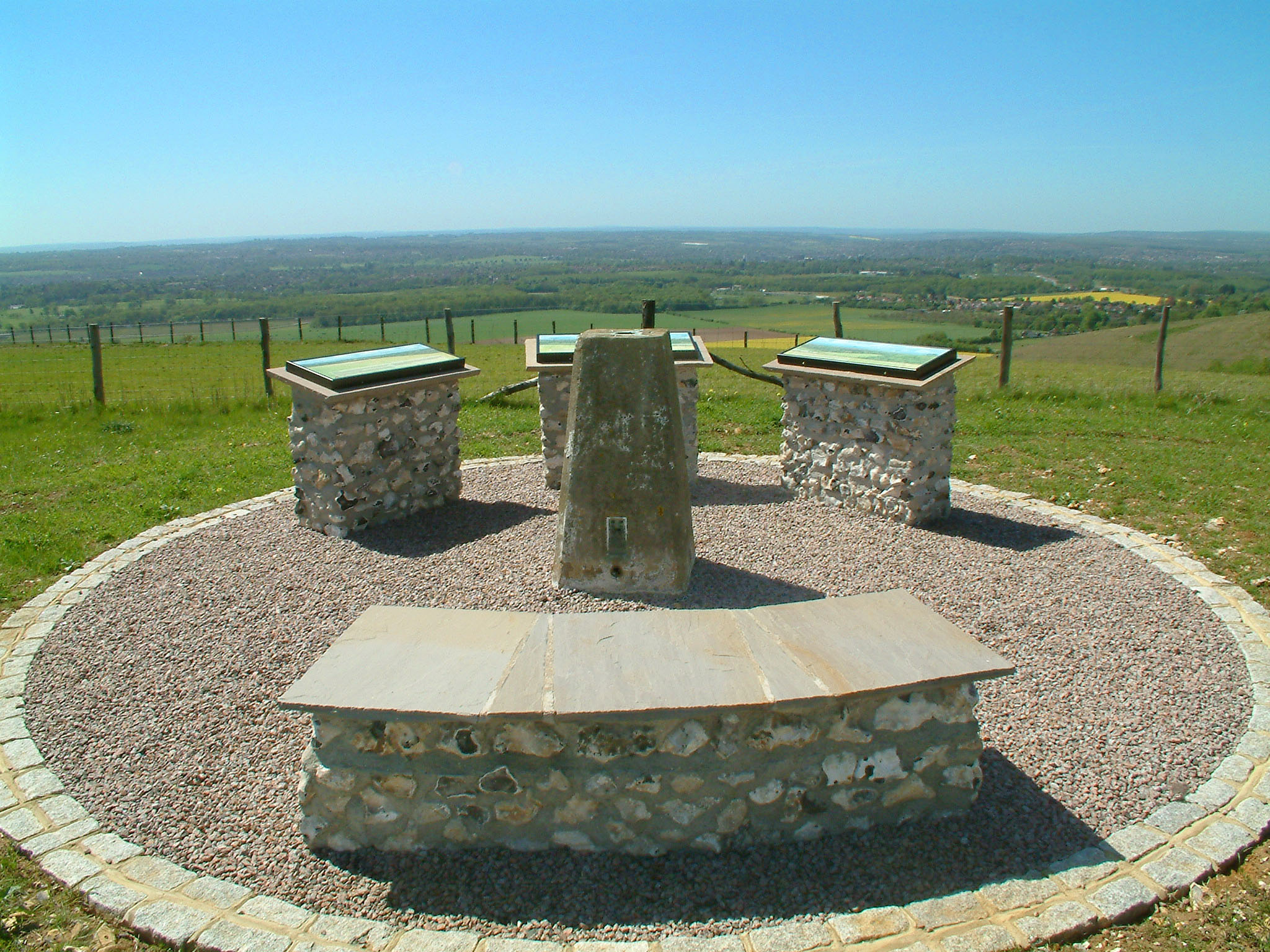
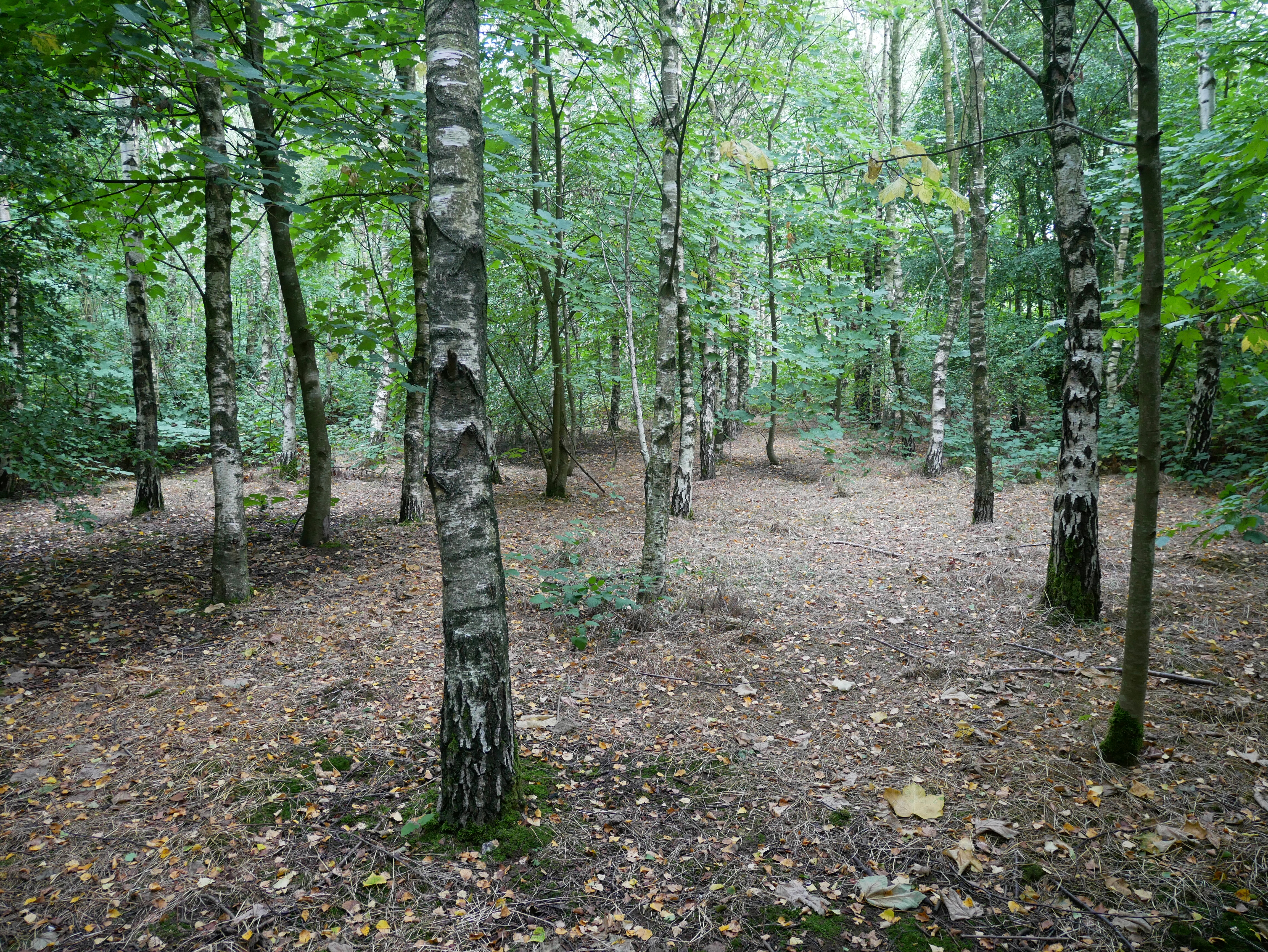
Detling Hill offers breathtaking panoramic views of the surrounding countryside, including the Kent Downs Area of Outstanding Natural Beauty. The hill is covered in lush grassland and dotted with patches of woodland, creating a picturesque and diverse habitat for various plant and animal species.

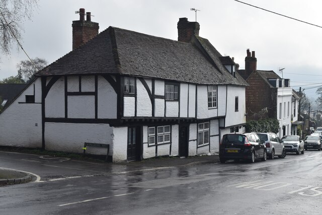
The area surrounding Detling Hill has a rich history, with evidence of human activity dating back thousands of years. Archaeological excavations have revealed remnants of Iron Age settlements, Roman pottery, and medieval earthworks, suggesting that the hill has been inhabited for centuries.

Detling Hill is also known for its military significance. During the Napoleonic Wars, an important signaling station was established at the summit to relay messages between the coast and London. In more recent times, the hill has been utilized for military exercises and training.

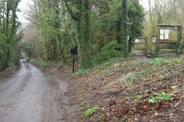
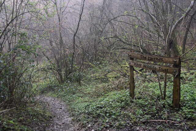
Today, Detling Hill is a popular destination for outdoor enthusiasts and nature lovers. It offers numerous walking trails, allowing visitors to explore the stunning landscape and immerse themselves in the tranquility of the surrounding countryside.

If you have any feedback on the listing, please let us know in the comments section below.
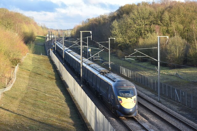
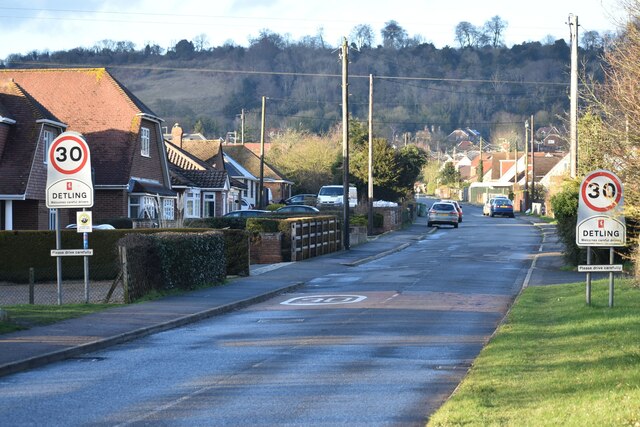
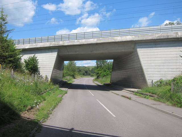
Detling Hill Images

Images are sourced within 2km of 51.298458/0.58692556 or Grid Reference TQ8058. Thanks to Geograph Open Source API. All images are credited.

Hermitage Lane, Detling A steep track leading to part of the North Downs Way to the west of the village.
Hermitage Lane, Detling
A steep track leading to part of the North Downs Way to the west of the village.
North Downs Way, near Detling
Farmland near Detling North west of the village by Pilgrims Way.
Farmland near Detling
North west of the village by Pilgrims Way.
Dead tree near Harple Lane, Detling By the footpath running between Boxley Church and Harple Lane.
Dead tree near Harple Lane, Detling
By the footpath running between Boxley Church and Harple Lane.
Farmland near Detling Looking across to Pilgrims Way from the footpath running between Boxley Church and Harple Lane.
Farmland near Detling
Looking across to Pilgrims Way from the footpath running between Boxley Church and Harple Lane.
Timber-framed houses in The Street, Detling
A249 at Detling Hill Seen from the footbridge at <a href="https://www.geograph.org.uk/photo/3043084">TQ7958 : Jade's Crossing, Detling</a>
A249 at Detling Hill
Seen from the footbridge at TQ7958 : Jade's Crossing, Detling
Pilgrims Way, northwest of Detling On the right is an entrance to The Larches, an area of woodland managed by Kent Wildlife Trust.
Pilgrims Way, northwest of Detling
On the right is an entrance to The Larches, an area of woodland managed by Kent Wildlife Trust.
Eastbound Javelin train on the HS1 route at Detling
Detling Village from the south With the line of Detling Hill beyond.
Detling Village from the south
With the line of Detling Hill beyond.
Trees and fields south of the M20
Path into The Larches Area of woodland managed by Kent Wildlife Trust, seen on a very wet and misty morning.
Path into The Larches
Area of woodland managed by Kent Wildlife Trust, seen on a very wet and misty morning.
Steps on the North Downs Way A nice Spring day on the North Downs Way
Steps on the North Downs Way
A nice Spring day on the North Downs Way
The A249 The A249 is a road running from Maidstone to Sheerness on the Isle of Sheppey. It mainly functions as a link between the M2 and M20 motorways,up Detling Hill and for goods vehicle traffic to the port at Sheerness.
In 2006, an upgraded dual carriageway section opened between Iwade and Queenborough, including a new fixed crossing over the Swale. The existing lifting Kingsferry Bridge has been retained as an alternative route.
The old Sheppey way runs parallel to the new road.
Wikipedia: <span class="nowrap"><a title="http://en.wikipedia.org/wiki/A249_road" rel="nofollow ugc noopener" href="http://en.wikipedia.org/wiki/A249_road">Link</a><img style="margin-left:2px;" alt="External link" title="External link - shift click to open in new window" src="https://s1.geograph.org.uk/img/external.png" width="10" height="10"/></span>
The A249
The A249 is a road running from Maidstone to Sheerness on the Isle of Sheppey. It mainly functions as a link between the M2 and M20 motorways,up Detling Hill and for goods vehicle traffic to the port at Sheerness. In 2006, an upgraded dual carriageway section opened between Iwade and Queenborough, including a new fixed crossing over the Swale. The existing lifting Kingsferry Bridge has been retained as an alternative route. The old Sheppey way runs parallel to the new road. Wikipedia: LinkExternal link
Fuel Station, A249 The A249 is a road running from Maidstone to Sheerness on the Isle of Sheppey. It mainly functions as a link between the M2 and M20 motorways,up Detling Hill and for goods vehicle traffic to the port at Sheerness.
In 2006, an upgraded dual carriageway section opened between Iwade and Queenborough, including a new fixed crossing over the Swale. The existing lifting Kingsferry Bridge has been retained as an alternative route.
The old Sheppey way runs parallel to the new road.
Wikipedia: <span class="nowrap"><a title="http://en.wikipedia.org/wiki/A249_road" rel="nofollow ugc noopener" href="http://en.wikipedia.org/wiki/A249_road">Link</a><img style="margin-left:2px;" alt="External link" title="External link - shift click to open in new window" src="https://s1.geograph.org.uk/img/external.png" width="10" height="10"/></span>
Fuel Station, A249
The A249 is a road running from Maidstone to Sheerness on the Isle of Sheppey. It mainly functions as a link between the M2 and M20 motorways,up Detling Hill and for goods vehicle traffic to the port at Sheerness. In 2006, an upgraded dual carriageway section opened between Iwade and Queenborough, including a new fixed crossing over the Swale. The existing lifting Kingsferry Bridge has been retained as an alternative route. The old Sheppey way runs parallel to the new road. Wikipedia: LinkExternal link
The top of Detling Hill (A249) The A249 is a road running from Maidstone to Sheerness on the Isle of Sheppey. It mainly functions as a link between the M2 and M20 motorways,up Detling Hill and for goods vehicle traffic to the port at Sheerness.
In 2006, an upgraded dual carriageway section opened between Iwade and Queenborough, including a new fixed crossing over the Swale. The existing lifting Kingsferry Bridge has been retained as an alternative route.
The old Sheppey way runs parallel to the new road.
Wikipedia: <span class="nowrap"><a title="http://en.wikipedia.org/wiki/A249_road" rel="nofollow ugc noopener" href="http://en.wikipedia.org/wiki/A249_road">Link</a><img style="margin-left:2px;" alt="External link" title="External link - shift click to open in new window" src="https://s1.geograph.org.uk/img/external.png" width="10" height="10"/></span>
The top of Detling Hill (A249)
The A249 is a road running from Maidstone to Sheerness on the Isle of Sheppey. It mainly functions as a link between the M2 and M20 motorways,up Detling Hill and for goods vehicle traffic to the port at Sheerness. In 2006, an upgraded dual carriageway section opened between Iwade and Queenborough, including a new fixed crossing over the Swale. The existing lifting Kingsferry Bridge has been retained as an alternative route. The old Sheppey way runs parallel to the new road. Wikipedia: LinkExternal link
A259, Detling Hill
A259, Detling Hill
Bridge over Thurnham Lane Carrying High Speed 1 railway.
Bridge over Thurnham Lane
Carrying High Speed 1 railway.
Show me another place!

Detling Hill is located at Grid Ref: TQ8058 (Lat: 51.298458, Lng: 0.58692556)

Administrative County: Kent

District: Maidstone

Police Authority: Kent

What 3 Words

///jogged.segmented.tinkle. Near Maidstone, Kent

Nearby Locations

Detling Hill

Related Wikis

Detling Hill

Detling Hill is a hill forming part of the North Downs in Kent, north-east of Maidstone, and is situated in the Kent Downs Area of Outstanding Natural...

White Horse Wood

White Horse Wood is a recently created English country park near Thurnham to the north of Maidstone, Kent. Located within the Kent Downs Area of Outstanding...

Kent Showground

The Kent Showground, formerly (and still colloquially) known as the Kent County Showground is an area of land in Detling, Kent, England, north of the county...

Kent County Show

The Kent County Show is an event hosted annually by the Kent County Agricultural Society at their Kent Showground headquarters at Detling near Maidstone...

Thurnham Castle

Thurnham Castle or Godard's Castle is situated to the north of the village of Thurnham which is 3 miles north-east of Maidstone, Kent (grid reference TQ...

Thurnham, Kent

Thurnham is a village and civil parish which lies at the foot of the North Downs 3 miles (4.8 km) north east of Maidstone in the Borough of Maidstone and...

RAF Detling

Royal Air Force Detling, or more simply RAF Detling, is a former Royal Air Force station situated 600 feet (180 m) above sea level, located near Detling...

Jade's Crossing

Jade's Crossing is a footbridge in Detling, Kent, England. The footbridge crosses the A249, a major road which runs between Maidstone and Sheerness. The...

Nearby Amenities

Located within 500m of 51.298458,0.58692556
Description: Thurnham Court Estate Trig Pillar
Ele: 199
Man Made: survey_point
Ref: 605891
Tpuk Ref: TP6473
Lat/Long: 51.296574/0.588892
White Horse Wood Country Park
Leisure: park
Source: local_knowledge
Wikidata: Q7994833
Lat/Long: 51.2954888/0.5909025
Bus Stop
Kent County Showground
Local Ref: adj
Naptan AtcoCode: 2400A036200A
Naptan Bearing: E
Naptan BusStopType: MKD
Naptan CommonName: Kent County Showground
Naptan Indicator: adj
Naptan Landmark: Kent County Showground
Naptan NaptanCode: kntdmptp
Naptan RevisionNumber: 7
Naptan ShortCommonName: County Showground
Naptan Status: act
Naptan Street: A249 Detling Hill
Naptan Verified: no
Public Transport: platform
Ref: kntdmptp
Shelter: no
Short Name: County Showground
Source: naptan_import
Source Date: 2018-06-05
Lat/Long: 51.2999476/0.5916146
Kent County Showground
Disused Highway: bus_stop
Disused Public Transport: platform
Local Ref: opp
Naptan AtcoCode: 2400A036260A
Naptan Bearing: W
Naptan BusStopType: MKD
Naptan CommonName: Kent County Showground
Naptan Indicator: opp
Naptan Landmark: Kent County Showground
Naptan NaptanCode: kntdmpwm
Naptan RevisionNumber: 8
Naptan ShortCommonName: County Showground
Naptan Status: del
Naptan Street: A249 Detling Hill
Naptan Verified: no
Ref: kntdmpwm
Short Name: County Showground
Source: naptan_import
Source Date: 2019-01-28
Lat/Long: 51.2993197/0.585439
Parking
Parking: street_side
Lat/Long: 51.2995698/0.5894656
Bench
Colour: gray
Material: wood
Seats: 3
Lat/Long: 51.2983583/0.5876572
White Horse Wood Country Park
Hiking: yes
Information: map
Map Size: site
Tourism: information
Lat/Long: 51.296953/0.5850183
Barrier: kissing_gate
Foot: yes
Wheelchair: yes
Lat/Long: 51.2955717/0.5915786
Bus Stop
Kent County Showground
Local Ref: in
Naptan AtcoCode: 2400105253
Naptan Bearing: W
Naptan BusStopType: CUS
Naptan CommonName: Kent County Showground
Naptan Indicator: in
Naptan Landmark: Kent County Showground
Naptan NaptanCode: kntjtadj
Naptan RevisionNumber: 4
Naptan ShortCommonName: County Showground
Naptan Status: act
Naptan Street: Kent County Showground
Naptan Verified: no
Public Transport: platform
Ref: kntjtadj
Short Name: County Showground
Sign: no
Source: naptan_import
Source Date: 2018-06-05
Lat/Long: 51.3014715/0.5849287
Detling Hill
Ele: 202
Natural: peak
Lat/Long: 51.2984897/0.5856276
The data included in this document is from www.openstreetmap.org. The data is made available under ODbL.

Have you been to Detling Hill?

Leave your review of Detling Hill below (or comments, questions and feedback).