Felters Hill
Hill, Mountain in Norfolk King's Lynn and West Norfolk
England
Felters Hill

Felters Hill is a notable hill located in the county of Norfolk, England. Situated near the village of Feltwell, the hill is part of the scenic landscape of the Brecks, a region characterized by sandy heaths and forests. Despite being referred to as a hill, Felters Hill is more accurately described as a gentle rise in the terrain rather than a true mountainous peak.
Rising to a modest elevation of around 33 meters (108 feet) above sea level, Felters Hill offers visitors panoramic views of the surrounding countryside. The hill is covered in a mix of heather, gorse, and grass, creating a picturesque setting that changes with the seasons. During the spring and summer months, the hillside is adorned with vibrant wildflowers, adding a burst of color to the landscape.
Felters Hill is a popular destination for walkers and hikers, who can explore the various footpaths that crisscross the area. The hill provides a peaceful and tranquil environment, making it an ideal spot for nature enthusiasts and those seeking a break from the hustle and bustle of everyday life.
In addition to its natural beauty, Felters Hill has historical significance. It is believed to have been used as a beacon site during medieval times, serving as a signal point to communicate important messages across the countryside. This historical connection adds an extra layer of intrigue to the hill and its surroundings.
Overall, Felters Hill offers a serene and idyllic setting, perfect for enjoying the outdoors and appreciating the natural beauty of Norfolk's countryside.
If you have any feedback on the listing, please let us know in the comments section below.
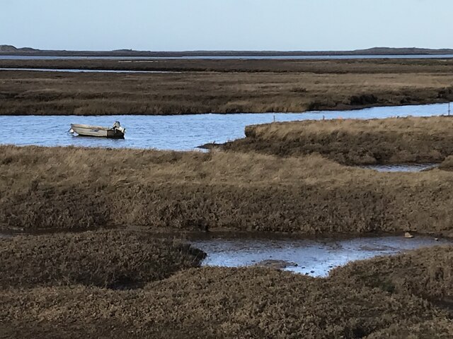
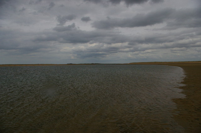
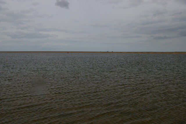
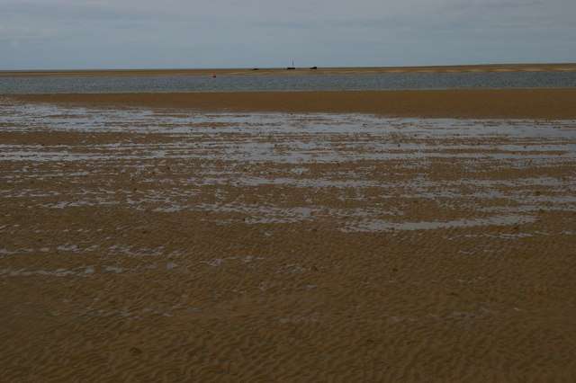
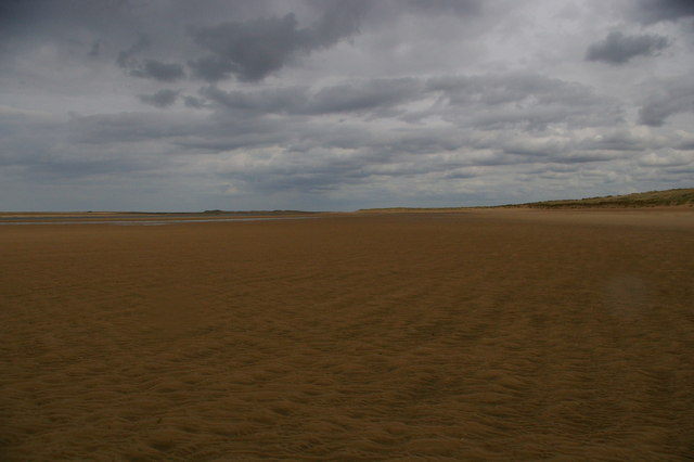
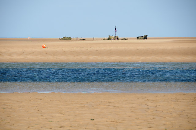
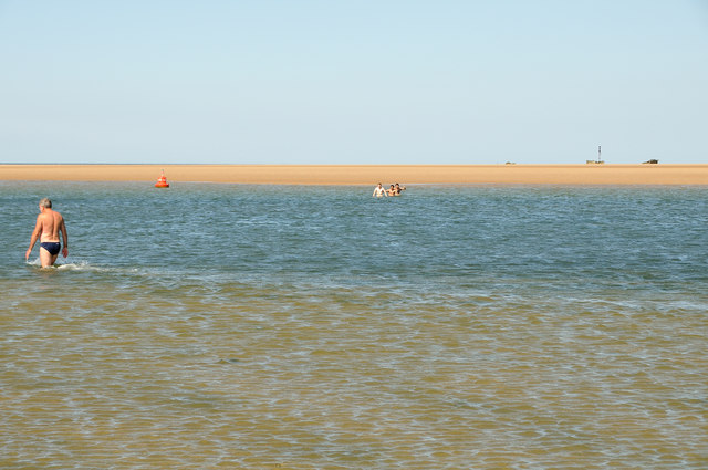
Felters Hill Images
Images are sourced within 2km of 52.98175/0.67963978 or Grid Reference TF7946. Thanks to Geograph Open Source API. All images are credited.


Felters Hill is located at Grid Ref: TF7946 (Lat: 52.98175, Lng: 0.67963978)
Administrative County: Norfolk
District: King's Lynn and West Norfolk
Police Authority: Norfolk
What 3 Words
///haystack.mammals.dose. Near Wells-next-the-Sea, Norfolk
Nearby Locations
Related Wikis

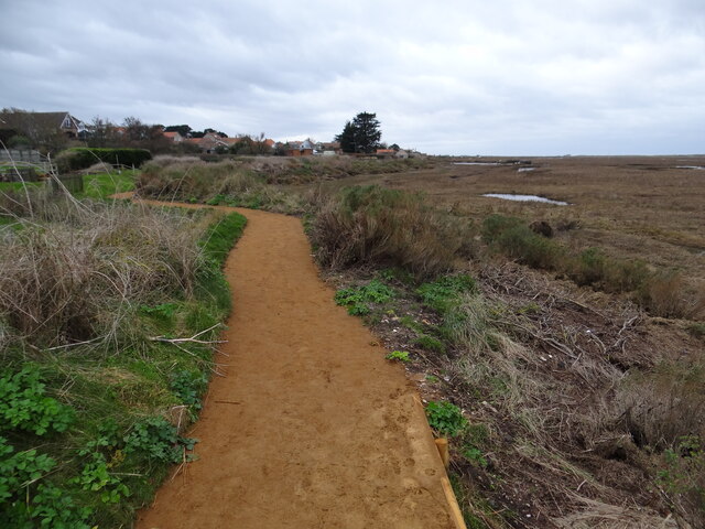
Scolt Head Island
Scolt Head Island is an offshore barrier island between Brancaster and Wells-next-the-Sea in north Norfolk. It is in the parish of Burnham Norton and is...
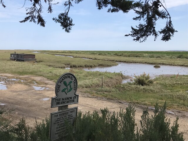
Brancaster Staithe
Brancaster Staithe is a village on the north coast of the English county of Norfolk. Brancaster Staithe merges with Burnham Deepdale, forming one village...

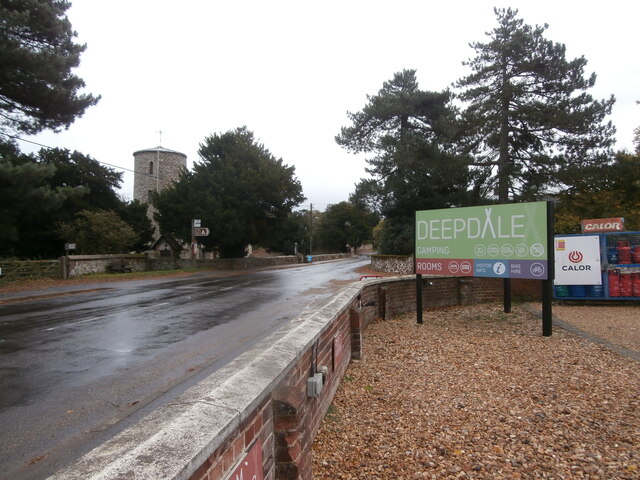
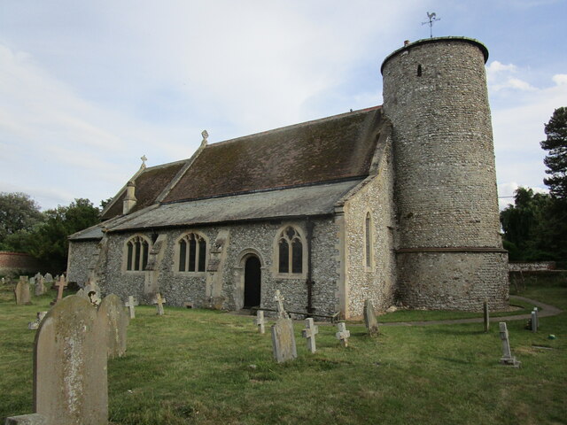
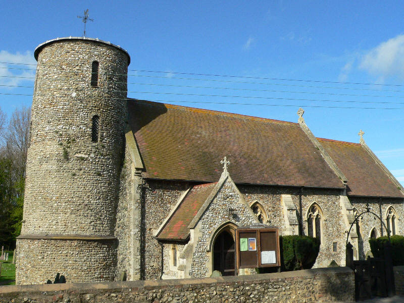
St Mary's Church, Burnham Deepdale
St Mary's Church is a round-tower church in Burnham Deepdale, Norfolk, England. Its round tower and some other parts of the building date from the 11th...
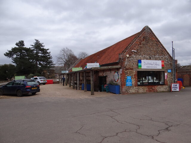
Burnham Deepdale
Burnham Deepdale is a village and former civil parish, now in the parish of Brancaster, in the King's Lynn and West Norfolk district, on the north coast...
Nearby Amenities
Located within 500m of 52.98175,0.67963978Have you been to Felters Hill?
Leave your review of Felters Hill below (or comments, questions and feedback).