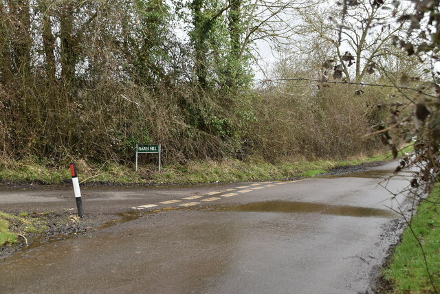
Barn Hill
Hill, Mountain in Kent Maidstone
England
Barn Hill
Barn Hill, located in the county of Kent in southeastern England, is a prominent landmark in the region. Although referred to as a hill, it is actually more accurately described as a large, grassy mound or small mountain, rising to an elevation of approximately 207 meters (679 feet) above sea level. It is situated within the North Downs, a range of chalk hills that stretches across parts of Surrey and Kent.
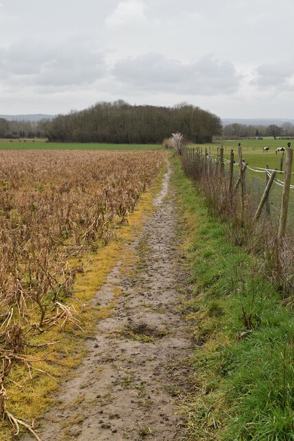
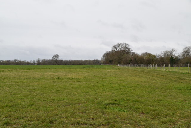
Barn Hill offers breathtaking panoramic views of the surrounding countryside, including the picturesque Kent Downs Area of Outstanding Natural Beauty. On a clear day, visitors can enjoy vistas of rolling green fields, meandering rivers, and quaint villages nestled in the valleys below.
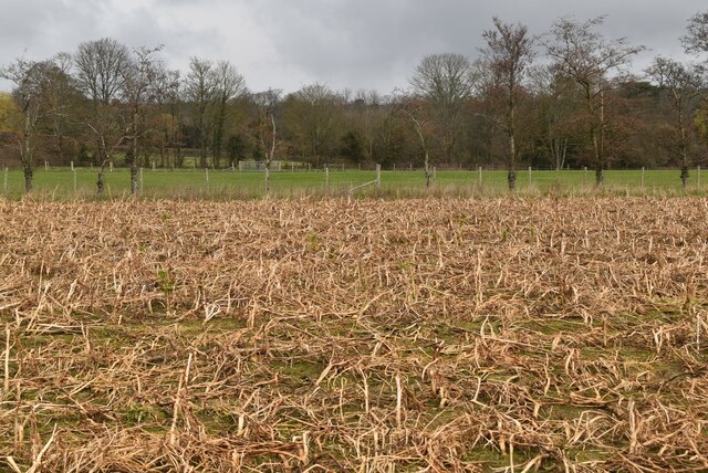
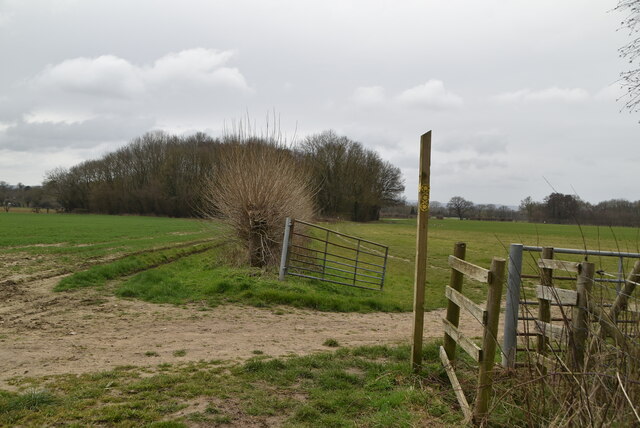
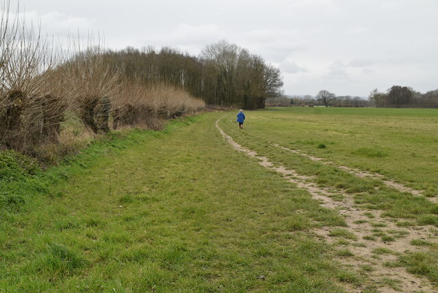
The hill is characterized by its gently sloping sides and rounded shape, which are the result of centuries of erosion and weathering. Its grassy slopes are home to a diverse range of flora and fauna, including wildflowers, butterflies, and various species of birds.
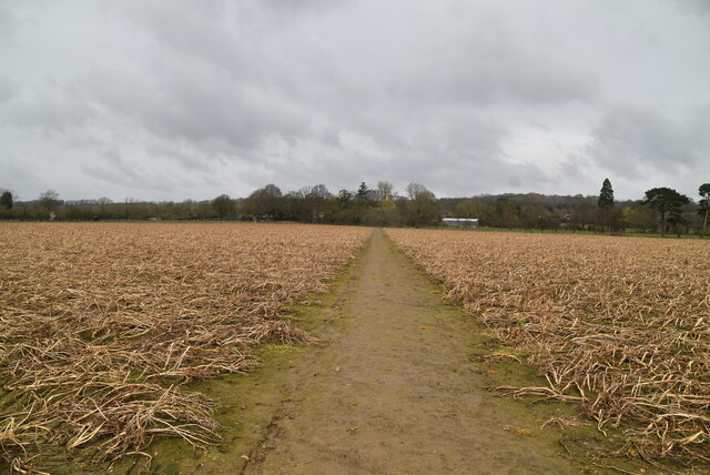
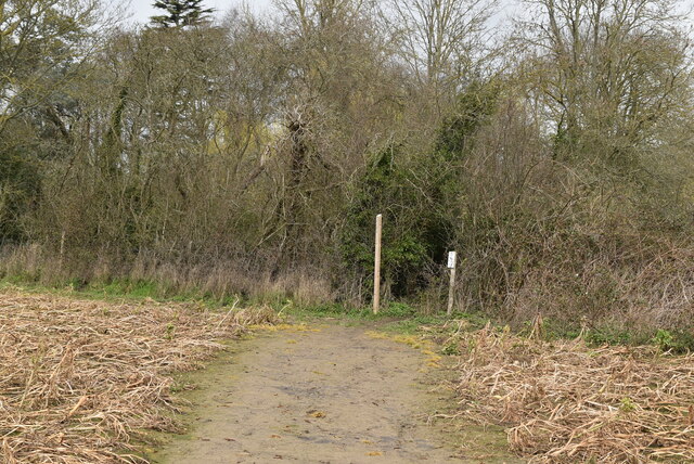
The summit of Barn Hill is accessible via a network of footpaths, making it a popular destination for hikers and nature enthusiasts. It is also a popular spot for picnics, with several designated areas providing benches and tables for visitors to relax and soak in the peaceful surroundings.
The area surrounding Barn Hill is rich in history, with evidence of human activity dating back thousands of years. Archaeological discoveries, including ancient burial mounds and earthworks, have revealed that the hill was once used for ceremonial purposes and as a place of settlement.
Overall, Barn Hill in Kent offers visitors a tranquil escape from the hustle and bustle of modern life, providing stunning views, abundant wildlife, and a glimpse into the area's fascinating past.
If you have any feedback on the listing, please let us know in the comments section below.
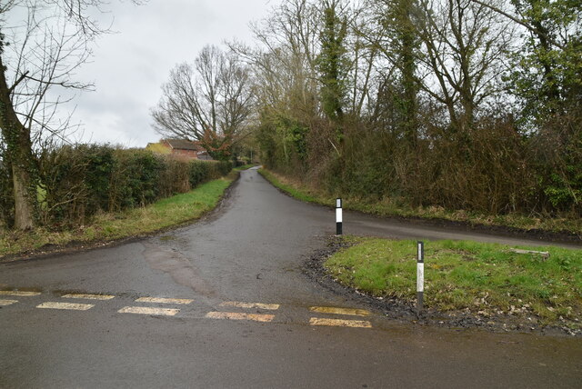
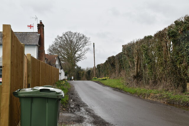
Barn Hill Images
Images are sourced within 2km of 51.231992/0.4828316 or Grid Reference TQ7351. Thanks to Geograph Open Source API. All images are credited.


Barn Hill is located at Grid Ref: TQ7351 (Lat: 51.231992, Lng: 0.4828316)
Administrative County: Kent
District: Maidstone
Police Authority: Kent
What 3 Words
///toads.ridge.sock. Near Yalding, Kent
Nearby Locations
Related Wikis
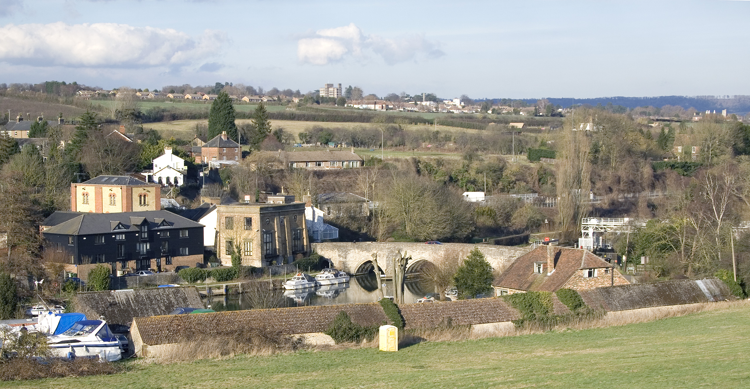
East Farleigh
East Farleigh is a village and civil parish in the local government district of Maidstone, Kent, England. The village is located on the south side of the...

Maidstone Rural District
Maidstone Rural District was a rural district in the county of Kent, England. It lay to the south of the town and municipal borough of Maidstone. Following...

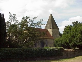
Holy Trinity Church, Coxheath
Holy Trinity Church is a parish church in the village of Coxheath, Kent, England. It is a Grade II listed building. == Building == Holy Trinity Church...
Coxheath
Coxheath is a village and civil parish within the Borough of Maidstone, Kent, England. The parish is approximately 2.5 miles (4 km) south of Maidstone...
Nearby Amenities
Located within 500m of 51.231992,0.4828316Have you been to Barn Hill?
Leave your review of Barn Hill below (or comments, questions and feedback).