Windmill Hill
Hill, Mountain in Sussex Wealden
England
Windmill Hill
Windmill Hill is a prominent landmark located in Sussex, England. Situated near the town of Hailsham, it is an ancient hill that stands at an elevation of approximately 193 meters (633 feet) above sea level. Despite being referred to as a hill, Windmill Hill is more accurately classified as a low-lying mountain due to its height and distinctive shape.
The hill derives its name from the presence of a historical windmill that once stood at its summit. Although the windmill no longer exists, its remnants can still be seen, adding to the charm and historical significance of the site. The hill is also home to an Iron Age fort, which is believed to have been constructed around 2,500 years ago. The fort's earthworks are well-preserved and offer visitors a glimpse into the ancient past.
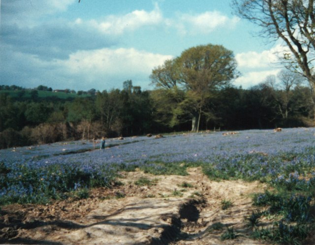
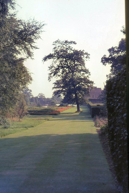
Windmill Hill is a popular destination for hikers, nature enthusiasts, and history buffs alike. Its commanding position provides breathtaking panoramic views of the surrounding countryside, including the South Downs and the Pevensey Levels. The hill's slopes are covered in lush grass, making it an idyllic spot for picnics, walks, and outdoor activities.
In addition to its natural and historical features, Windmill Hill is also known for its rich biodiversity. The area is home to a variety of plant and animal species, including wildflowers, birds, and insects. Local conservation efforts have been implemented to preserve and protect this unique habitat.
Overall, Windmill Hill offers a captivating blend of history, natural beauty, and recreational opportunities, making it a must-visit destination for locals and tourists alike.
If you have any feedback on the listing, please let us know in the comments section below.
Windmill Hill Images
Images are sourced within 2km of 50.884935/0.33962242 or Grid Reference TQ6412. Thanks to Geograph Open Source API. All images are credited.

Windmill Hill is located at Grid Ref: TQ6412 (Lat: 50.884935, Lng: 0.33962242)
Administrative County: East Sussex
District: Wealden
Police Authority: Sussex
What 3 Words
///albatross.mugs.swerves. Near Herstmonceux, East Sussex
Nearby Locations
Related Wikis

Windmill Hill, East Sussex
Windmill Hill is a village in the civil parish of Herstmonceux, in the Wealden district of East Sussex, England. In 2020 it had an estimated population...
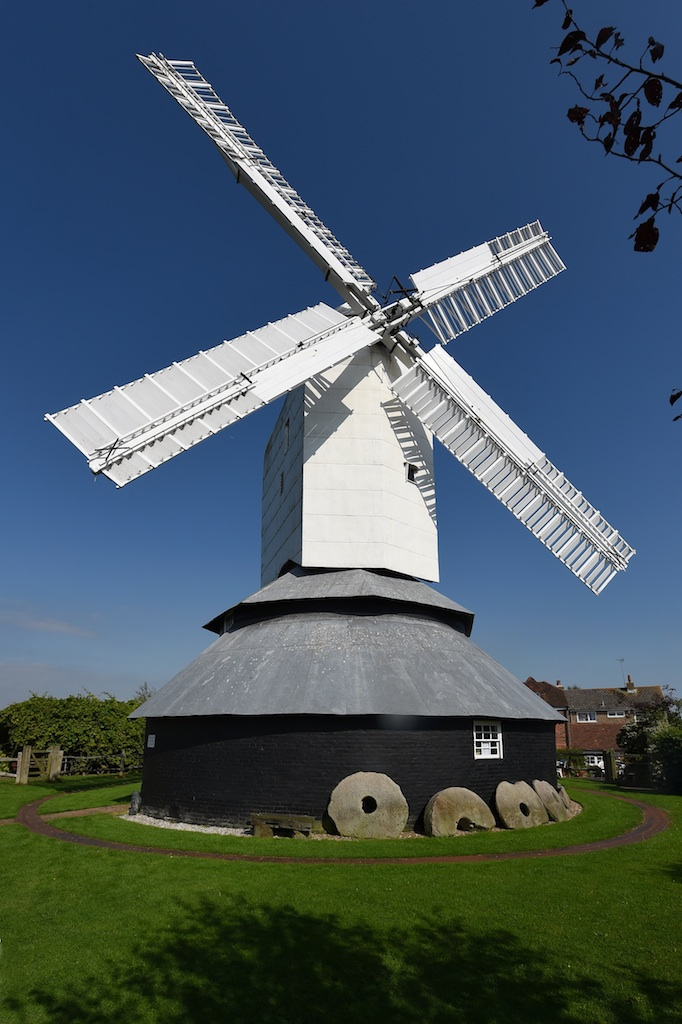
Windmill Hill Mill, Herstmonceux
Windmill Hill Mill is a grade II* listed post mill at Herstmonceux, Sussex, England which has been restored and now operates as a working mill. The mill...

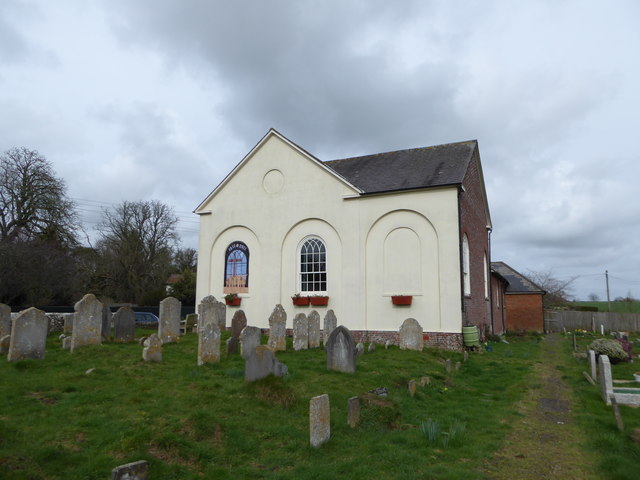
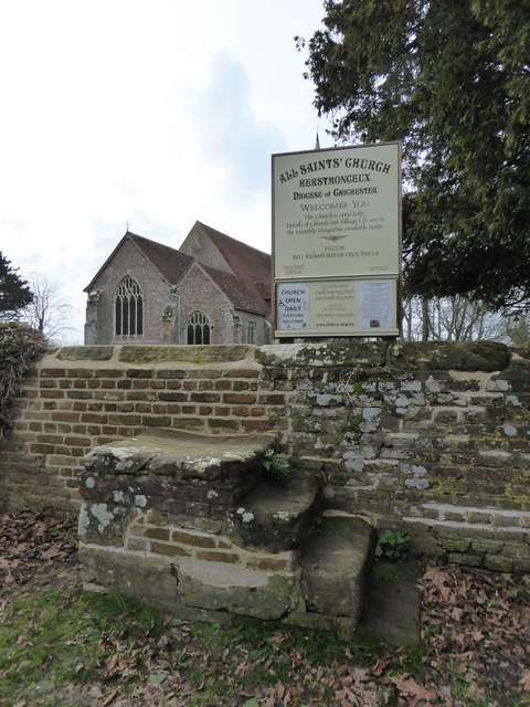
Herstmonceux Free Church
Herstmonceux Free Church is a congregational chapel located in Herstmonceux, East Sussex. It was initially constructed at its site on Chapel Row in 1811...
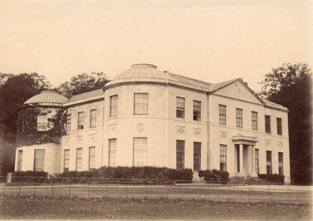
Herstmonceux Place
Herstmonceux Place is an 18th-century country house in Herstmonceux, East Sussex, England. It was divided into apartments in the 1950s. The house stands...

Herstmonceux Park
Herstmonceux Park is a 4.3-hectare (11-acre) biological Site of Special Scientific Interest south of Herstmonceux in East Sussex.This narrow stream valley...
Herstmonceux
Herstmonceux ( HURSS-mən-ZOO, -SOO, or horss-MOWN-seez) is a village and civil parish in the Wealden District of East Sussex, England, which includes...

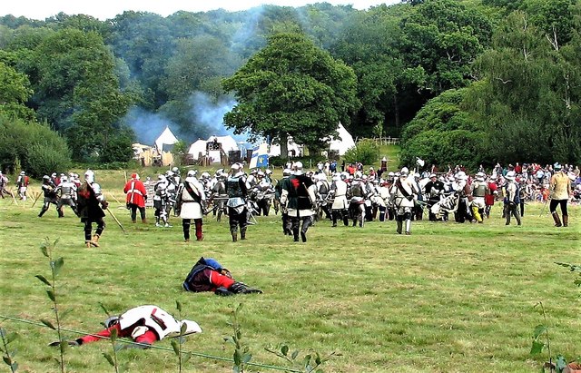
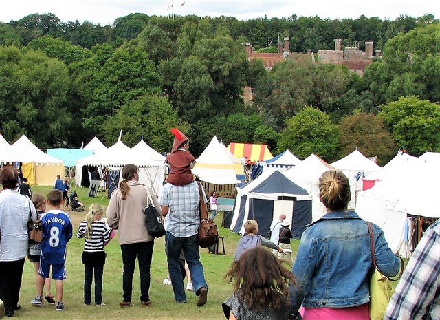
England's Medieval Festival
England's Medieval Festival is a medieval-themed festival held over the August bank holiday at, Pippingford Park in Sussex, England. Held over three days...
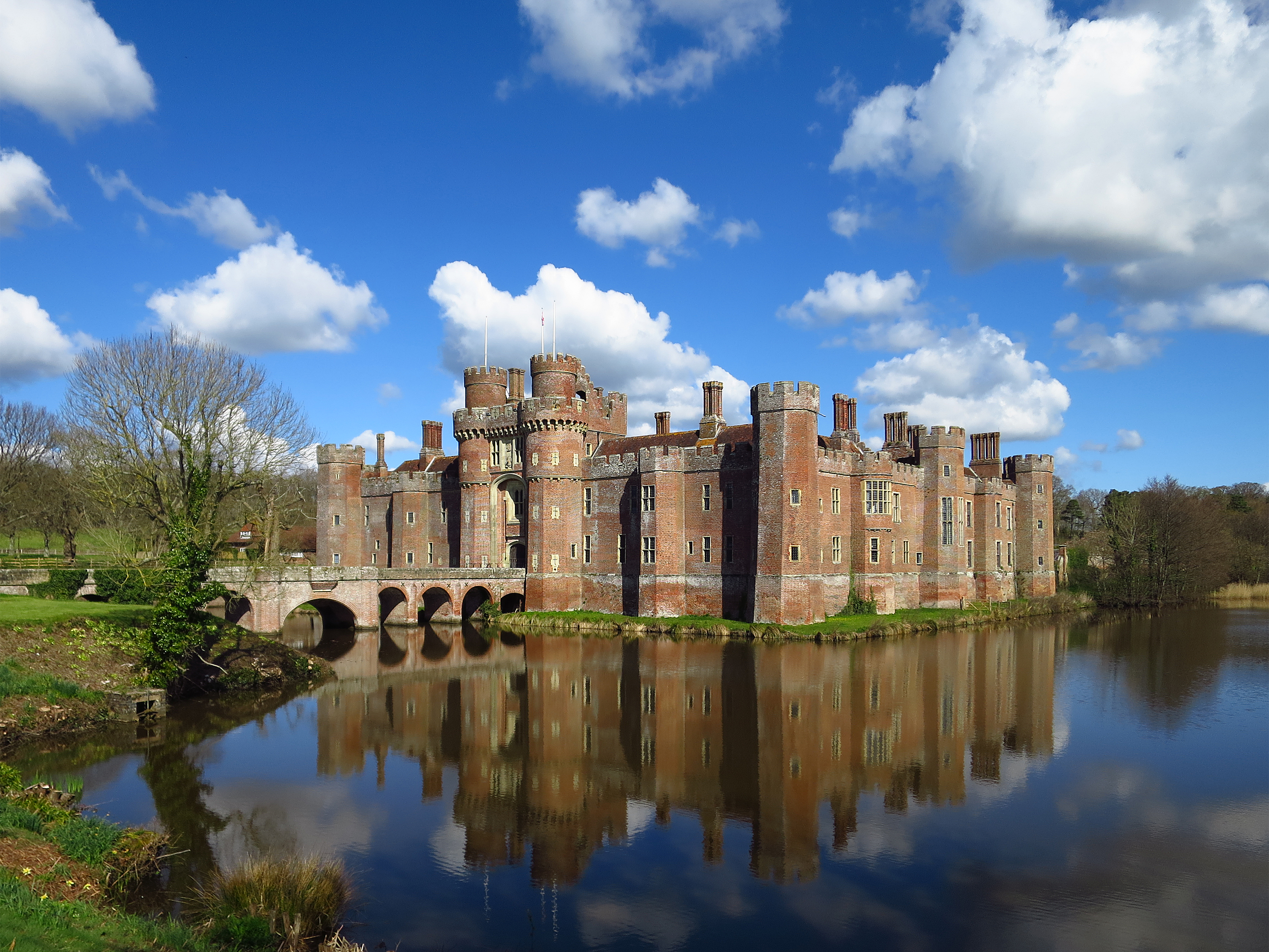
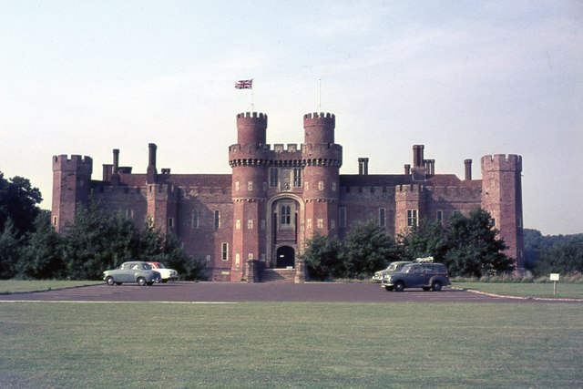
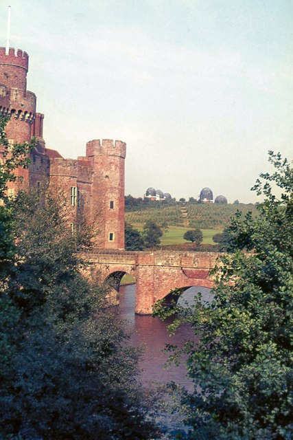
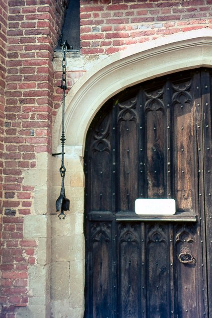
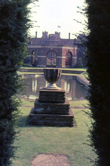
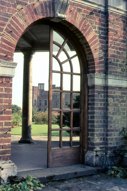
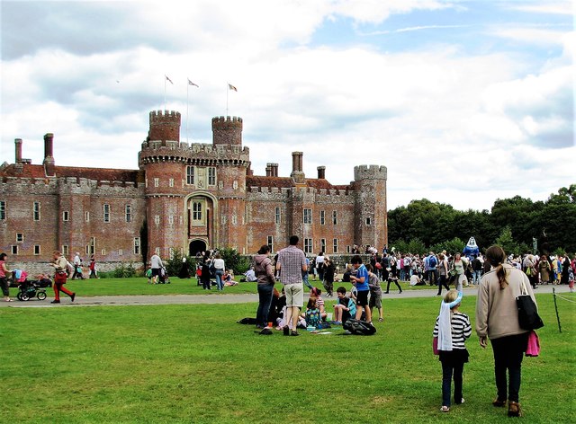
Herstmonceux Castle
Herstmonceux Castle is a brick-built castle, dating from the 15th century, near Herstmonceux, East Sussex, England. It is one of the oldest significant...
Nearby Amenities
Located within 500m of 50.884935,0.33962242Have you been to Windmill Hill?
Leave your review of Windmill Hill below (or comments, questions and feedback).