Allfree Wood
Wood, Forest in Sussex Wealden
England
Allfree Wood
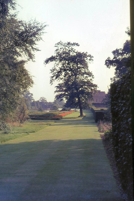
Allfree Wood is a picturesque forest located in Sussex, England. Spanning over a vast area, it is nestled within the beautiful countryside, offering visitors a tranquil and serene environment to explore and enjoy nature at its finest.
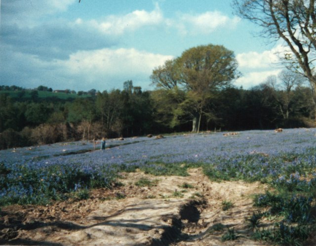
The wood is known for its diverse range of flora and fauna, making it a haven for wildlife enthusiasts and nature lovers alike. Ancient oak trees dominate the landscape, their towering presence providing shade and shelter for the numerous species that call this forest home. Bluebells carpet the forest floor in the spring, creating a breathtaking display of vibrant colors and sweet scents.
A network of well-maintained trails winds through the wood, allowing visitors to embark on scenic walks and hikes. These paths offer stunning views of the surrounding countryside and provide ample opportunities for birdwatching and wildlife spotting. Red kites, buzzards, and owls are just a few of the bird species commonly sighted within the wood's boundaries.
Allfree Wood is also a popular destination for camping and picnicking. The designated camping area provides facilities for overnight stays, allowing visitors to immerse themselves in the peaceful ambiance of the forest. Families and groups often gather under the canopy of trees for picnics, enjoying the serene atmosphere and natural beauty.
Managed by a local conservation group, Allfree Wood boasts a commitment to preserving and protecting its natural habitat. This dedication ensures that visitors can continue to appreciate the wood's beauty for years to come. With its idyllic setting and abundant wildlife, Allfree Wood is a must-visit destination for those seeking a peaceful retreat in the heart of Sussex.
If you have any feedback on the listing, please let us know in the comments section below.
Allfree Wood Images
Images are sourced within 2km of 50.884533/0.3372563 or Grid Reference TQ6412. Thanks to Geograph Open Source API. All images are credited.


Allfree Wood is located at Grid Ref: TQ6412 (Lat: 50.884533, Lng: 0.3372563)
Administrative County: East Sussex
District: Wealden
Police Authority: Sussex
What 3 Words
///prancing.decimals.training. Near Herstmonceux, East Sussex
Nearby Locations
Related Wikis

Windmill Hill, East Sussex
Windmill Hill is a village in the civil parish of Herstmonceux, in the Wealden district of East Sussex, England. In 2020 it had an estimated population...
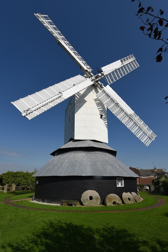
Windmill Hill Mill, Herstmonceux
Windmill Hill Mill is a grade II* listed post mill at Herstmonceux, Sussex, England which has been restored and now operates as a working mill. The mill...

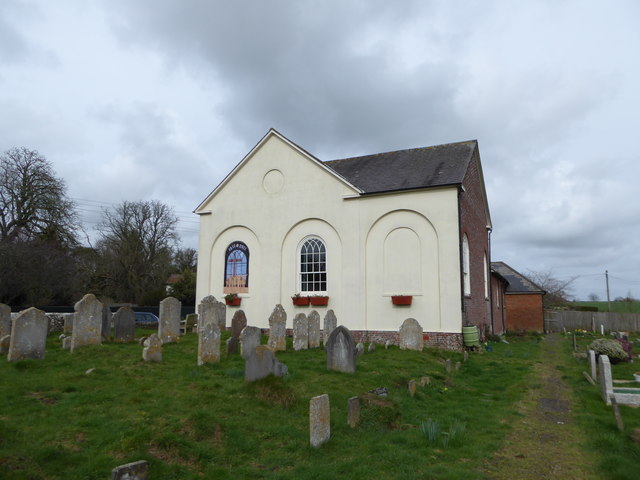
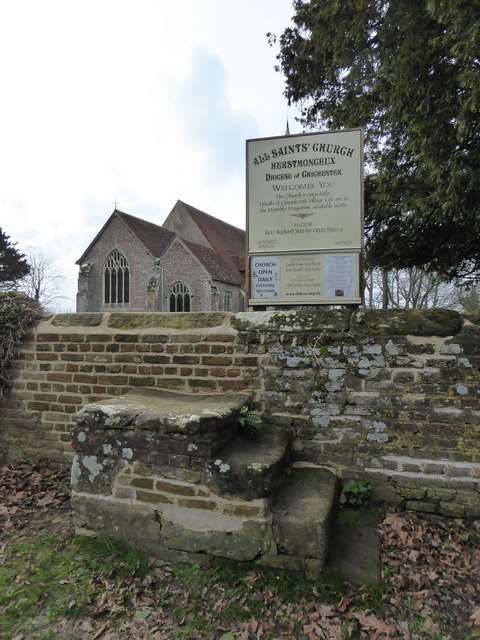
Herstmonceux Free Church
Herstmonceux Free Church is a congregational chapel located in Herstmonceux, East Sussex. It was initially constructed at its site on Chapel Row in 1811...
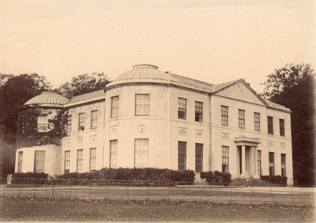
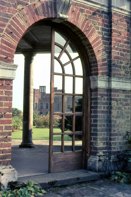
Herstmonceux Place
Herstmonceux Place is an 18th-century country house in Herstmonceux, East Sussex, England. It was divided into apartments in the 1950s. The house stands...
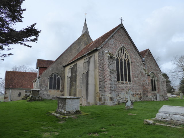
Herstmonceux
Herstmonceux ( HURSS-mən-ZOO, -SOO, or horss-MOWN-seez) is a village and civil parish in the Wealden District of East Sussex, England, which includes...

Herstmonceux Park
Herstmonceux Park is a 4.3-hectare (11-acre) biological Site of Special Scientific Interest south of Herstmonceux in East Sussex.This narrow stream valley...

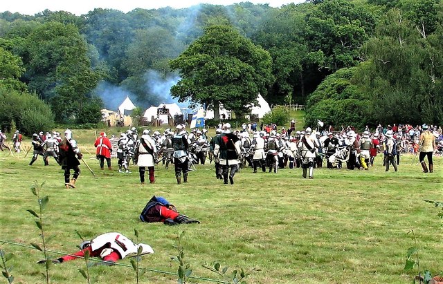
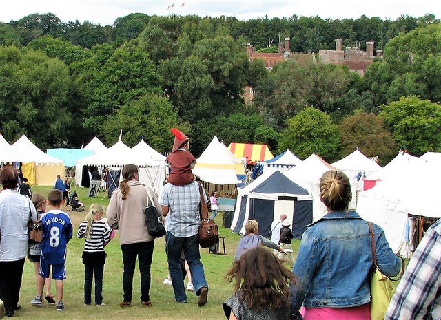
England's Medieval Festival
England's Medieval Festival is a medieval-themed festival held over the August bank holiday at, Pippingford Park in Sussex, England. Held over three days...
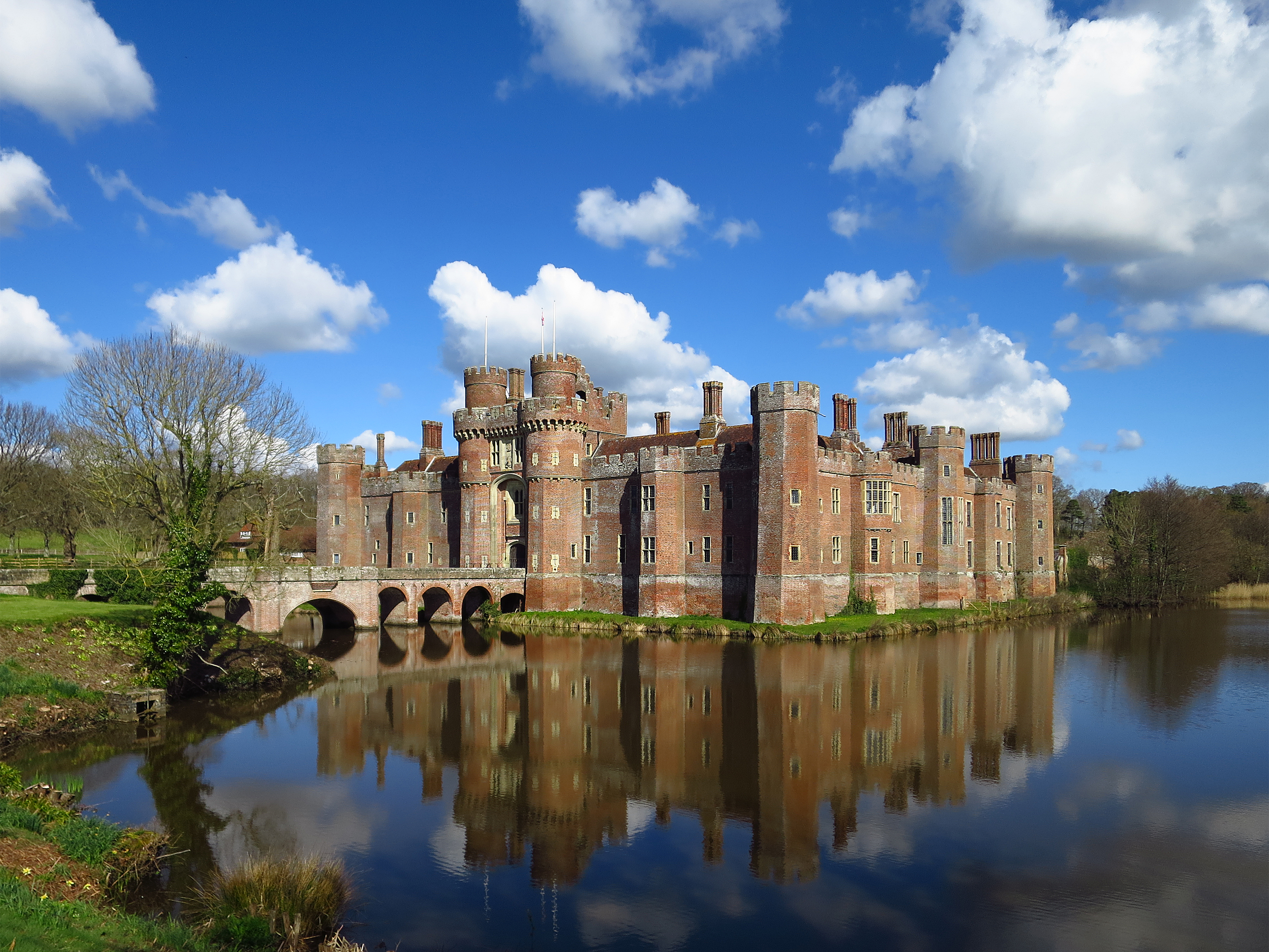
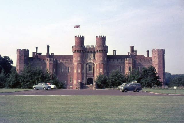
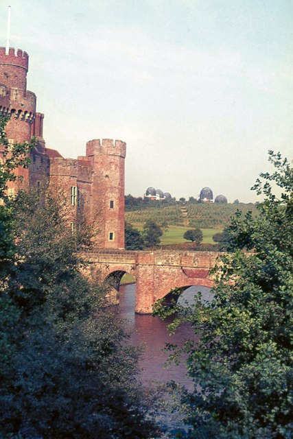
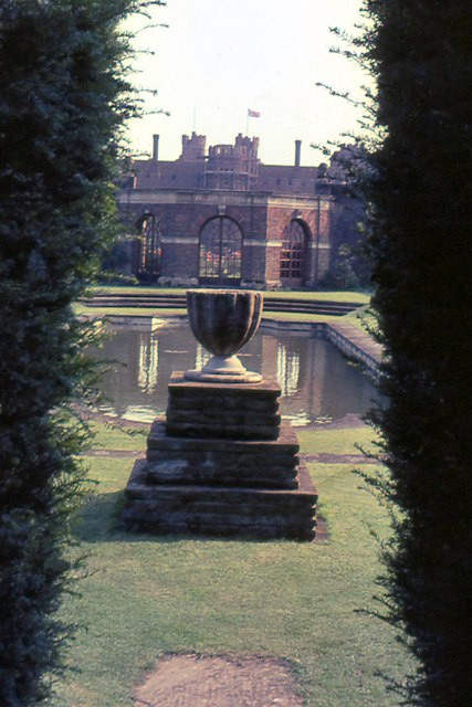
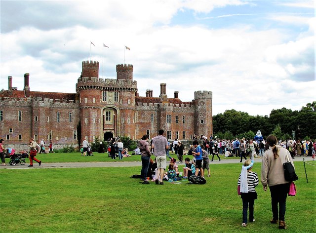
Herstmonceux Castle
Herstmonceux Castle is a brick-built castle, dating from the 15th century, near Herstmonceux, East Sussex, England. It is one of the oldest significant...
Nearby Amenities
Located within 500m of 50.884533,0.3372563Have you been to Allfree Wood?
Leave your review of Allfree Wood below (or comments, questions and feedback).