Kirkton of Durris

Settlement in Kincardineshire

Scotland

Kirkton of Durris

Meikle Tulloch Looking along the road on the northern edge of Durris Forest towards Meikle Tulloch.
Meikle Tulloch Credit: Scott Cormie

The requested URL returned error: 429 Too Many Requests

If you have any feedback on the listing, please let us know in the comments section below.

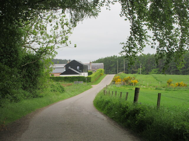
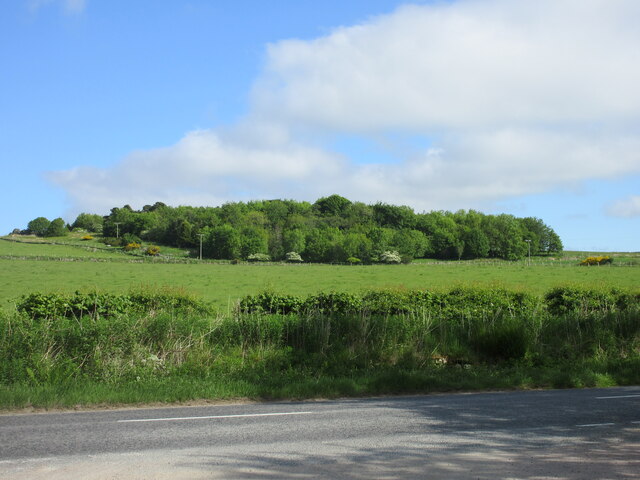
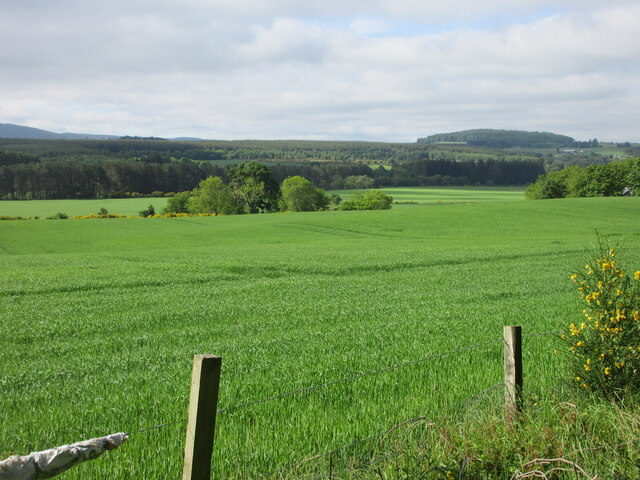
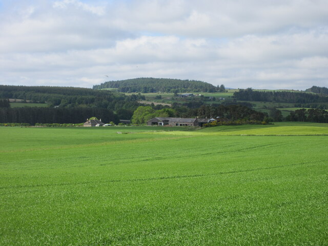
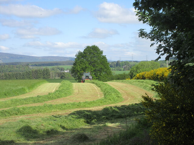
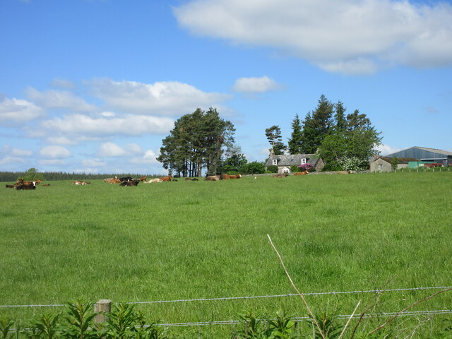
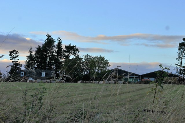
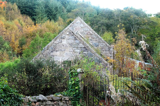
Kirkton of Durris Images

Images are sourced within 2km of 57.055812/-2.375731 or Grid Reference NO7796. Thanks to Geograph Open Source API. All images are credited.

Meikle Tulloch Looking along the road on the northern edge of Durris Forest towards Meikle Tulloch.
Meikle Tulloch
Looking along the road on the northern edge of Durris Forest towards Meikle Tulloch.
Durris School Durris Primary School at the Woodlands of Durris.
Durris School
Durris Primary School at the Woodlands of Durris.
Deeside Way near Nether Park Looking westwards along the Deeside Way at Nether Park.
Deeside Way near Nether Park
Looking westwards along the Deeside Way at Nether Park.
Copse near Upper Park Looking north from the Deeside Way across the A93 to a copse near Upper Park.
Copse near Upper Park
Looking north from the Deeside Way across the A93 to a copse near Upper Park.
Field near Mills of Drum Looking south-west from the Deeside Way over a field near Mills of Drum on the north side of the River Dee.
Field near Mills of Drum
Looking south-west from the Deeside Way over a field near Mills of Drum on the north side of the River Dee.
Nether Mills of Crathes A distant view of the Nether Mills of Crathes from the Deeside Way to the north-east.
Nether Mills of Crathes
A distant view of the Nether Mills of Crathes from the Deeside Way to the north-east.
Grass cutting near Durris A field being shorn of grass near Funach Wood at Durris.
Grass cutting near Durris
A field being shorn of grass near Funach Wood at Durris.
Cattle at East Funach Resting cattle in a field with East Funach in the background.
Cattle at East Funach
Resting cattle in a field with East Funach in the background.
East Funach East Funach farm from the roadside.
East Funach
East Funach farm from the roadside.
Kirkton Sawmill The disused and neglected saw mill of Kirkton Wood, Durris.
Kirkton Sawmill
The disused and neglected saw mill of Kirkton Wood, Durris.
Calladrum  Farmhouse Calladrum from the roadhouse with a pylon behind.
Calladrum Farmhouse
Calladrum from the roadhouse with a pylon behind.
Calladrum Cattle Cattle at Calladrum Farm looking out behind pens.
Calladrum Cattle
Cattle at Calladrum Farm looking out behind pens.
Road to Little Tulloch A look down the farm road of Little Tulloch, a glimpse of which is just visible.
Road to Little Tulloch
A look down the farm road of Little Tulloch, a glimpse of which is just visible.
Meikle Tulloch The roadside farm of Meikle Tulloch by Durris Forest.
Meikle Tulloch
The roadside farm of Meikle Tulloch by Durris Forest.
Durris Forest An entrance to Durris Forest near Meikle Tulloch.
Durris Forest
An entrance to Durris Forest near Meikle Tulloch.
Sheep by Woodlands Farming land by the edge of Woodlands Wood.
Sheep by Woodlands
Farming land by the edge of Woodlands Wood.
Across Fields to Strathie A view from Woodlands Wood to Strathie Farm.
Across Fields to Strathie
A view from Woodlands Wood to Strathie Farm.
Road to Woodlands The road passing Woodlands Wood.
Road to Woodlands
The road passing Woodlands Wood.
Show me another place!

Kirkton of Durris is located at Grid Ref: NO7796 (Lat: 57.055812, Lng: -2.375731)

Unitary Authority: Aberdeenshire

Police Authority: North East

What 3 Words

///craft.mallets.person. Near Banchory, Aberdeenshire

Nearby Locations

Kirkton of Durris

Related Wikis

Kirkton of Durris

Kirkton of Durris is a hamlet in the Kincardine and Mearns area of Aberdeenshire, Scotland. Historic structures in the vicinity include Maryculter House...

Durris Castle

Durris Castle or the House of Dores was an early royal residence on the southern bank of the River Dee in Aberdeenshire, Scotland. The castle controlled...

Balfour, Aberdeenshire

Balfour (Scottish Gaelic: Baile Phùir), Aberdeenshire is a settlement on Royal Deeside in Aberdeenshire, Scotland. Balfour lies south of the River Dee...

Mills of Drum railway station

Mills of Drum railway station was opened in September 1853 by the Deeside Railway and served the rural area around Park House and Crathes estates at the...

Nearby Amenities

Located within 500m of 57.055812,-2.375731
Kirkton of Durris
Place: village
Wikidata: Q6415847
Wikipedia: en:Kirkton of Durris
Lat/Long: 57.0558627/-2.3756862
Post Box
Brand: Royal Mail
Brand Wikidata: Q638098
Check Date: 2022-06-20
Collection Times: Mo-Fr 16:15; Sa 10:00; Su off
Manufacturer: none
Operator: Royal Mail
Operator Wikidata: Q638098
Post Box Type: lamp
Ref: AB31 605
Royal Cypher: scottish_crown
Source: survey
Lat/Long: 57.0555105/-2.3750094
Building: entrance
Lat/Long: 57.0551804/-2.3752702
Durris War Memorial
Historic: memorial
Lat/Long: 57.0555506/-2.376228
Power: tower
Lat/Long: 57.0545129/-2.3830311
Ford: yes
Lat/Long: 57.0601394/-2.3752651
Power: pole
Lat/Long: 57.0542484/-2.3833257
Power: pole
Lat/Long: 57.0545937/-2.3826681
Power: pole
Lat/Long: 57.0548629/-2.3815532
Power: pole
Lat/Long: 57.0551188/-2.380597
Power: pole
Lat/Long: 57.0554487/-2.3794424
Power: pole
Lat/Long: 57.0556778/-2.3785959
Power: pole
Lat/Long: 57.0560087/-2.3767931
Power: pole
Lat/Long: 57.0562533/-2.3752247
Power: pole
Lat/Long: 57.0561968/-2.3751661
Power: pole
Lat/Long: 57.0568586/-2.3757009
Power: pole
Lat/Long: 57.0574412/-2.3761639
Power: pole
Lat/Long: 57.0580794/-2.3766835
Power: pole
Lat/Long: 57.0564085/-2.3739964
Power: pole
Lat/Long: 57.0566161/-2.372857
Power: pole
Lat/Long: 57.0567949/-2.3718177
Power: pole
Lat/Long: 57.0570323/-2.3704212
Power: pole
Lat/Long: 57.0572316/-2.3692496
The data included in this document is from www.openstreetmap.org. The data is made available under ODbL.

Have you been to Kirkton of Durris?

Leave your review of Kirkton of Durris below (or comments, questions and feedback).