Kirkton of Cults

Settlement in Fife

Scotland

Kirkton of Cults

Tod's Wood
Tod's Wood Credit: Richard Webb

The requested URL returned error: 429 Too Many Requests

If you have any feedback on the listing, please let us know in the comments section below.

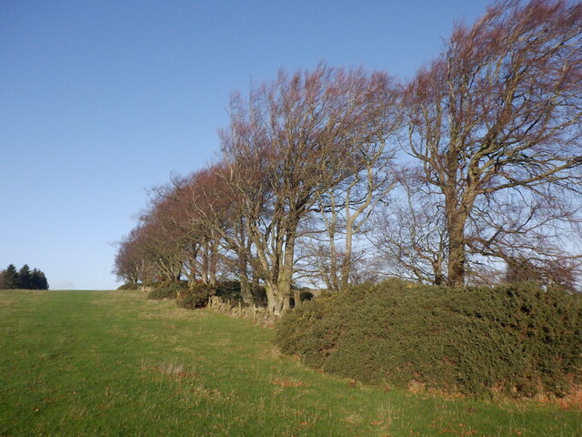
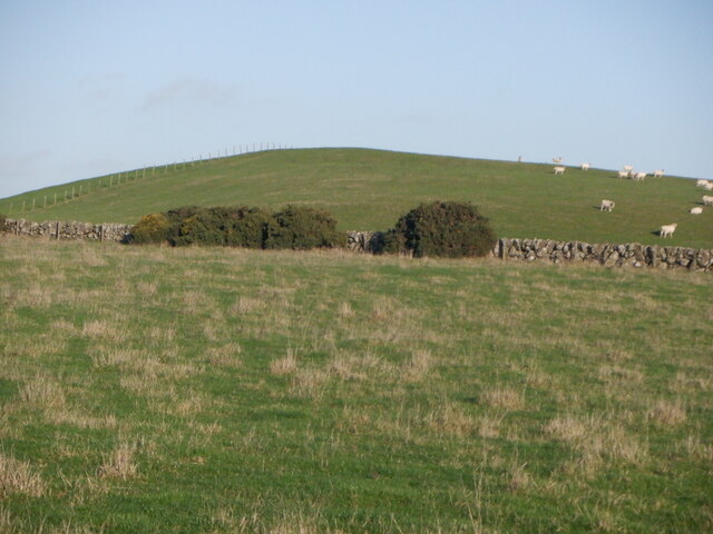
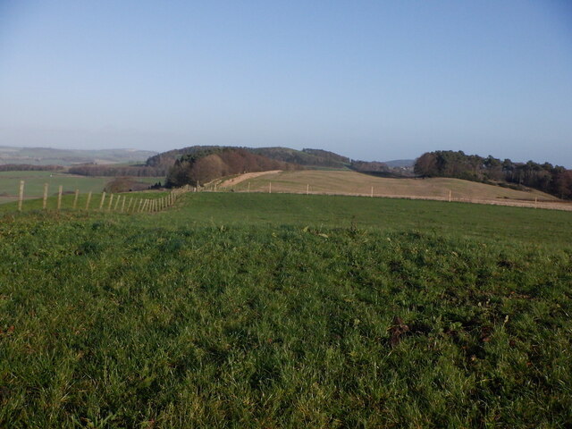
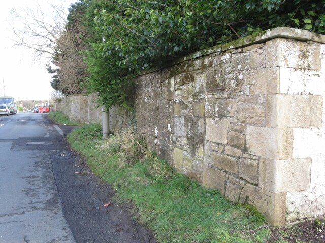
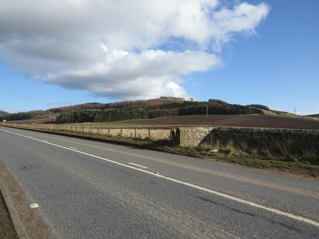
Kirkton of Cults Images

Images are sourced within 2km of 56.276772/-3.0569385 or Grid Reference NO3409. Thanks to Geograph Open Source API. All images are credited.

Tod's Wood
Tod's Wood
Walton Hill
Walton Hill
Summit, Walton Hill
Summit, Walton Hill
Benchmark on wall near Cults Mill Ordnance Survey benchmark on wall on A914 near Cults Mill. Database entry: <span class="nowrap"><a title="https://www.bench-marks.org.uk/bm163969" rel="nofollow ugc noopener" href="https://www.bench-marks.org.uk/bm163969">Link</a><img style="margin-left:2px;" alt="External link" title="External link - shift click to open in new window" src="https://s1.geograph.org.uk/img/external.png" width="10" height="10"/></span>
Benchmark on wall near Cults Mill
Ordnance Survey benchmark on wall on A914 near Cults Mill. Database entry: LinkExternal link
Boundary Wall, Crawley House, Springfield An Ordnance Survey benchmark can be seen at the bottom right of the photo. For close up photo, see <a title="https://www.geograph.org.uk/photo/6347903" href="https://www.geograph.org.uk/photo/6347903">Link</a> and for database entry, see <span class="nowrap"><a title="https://www.bench-marks.org.uk/bm114172" rel="nofollow ugc noopener" href="https://www.bench-marks.org.uk/bm114172">Link</a><img style="margin-left:2px;" alt="External link" title="External link - shift click to open in new window" src="https://s1.geograph.org.uk/img/external.png" width="10" height="10"/></span>. See also <a title="https://www.geograph.org.uk/photo/6347905" href="https://www.geograph.org.uk/photo/6347905">Link</a>.
Boundary Wall, Crawley House, Springfield
An Ordnance Survey benchmark can be seen at the bottom right of the photo. For close up photo, see Link and for database entry, see LinkExternal link. See also Link.
A914 near Cults Lady Mary's Wood in the background.
A914 near Cults
Lady Mary's Wood in the background.
Level Crossing near Hospital Mill
Crawford Priory Mausoleum For the grisly story of this tomb's inhabitant, see <span class="nowrap"><a title="https://secretscotland829724255.wordpress.com/2022/08/08/crawford-priory-mausoleum/" rel="nofollow ugc noopener" href="https://secretscotland829724255.wordpress.com/2022/08/08/crawford-priory-mausoleum/">Link</a><img style="margin-left:2px;" alt="External link" title="External link - shift click to open in new window" src="https://s1.geograph.org.uk/img/external.png" width="10" height="10"/></span>
Crawford Priory Mausoleum
For the grisly story of this tomb's inhabitant, see LinkExternal link
Walk through the woods The mixed woodland to the west of Springfield is called The Moor.
Walk through the woods
The mixed woodland to the west of Springfield is called The Moor.
Trig point by the tracks Not every trig point is up a mountain...    Ballomill trig point (TP0996) in the classic concrete 'Hotine pillar' design (<span class="nowrap"><a title="https://en.wikipedia.org/wiki/Martin_Hotine" rel="nofollow ugc noopener" href="https://en.wikipedia.org/wiki/Martin_Hotine">Link</a><img style="margin-left:2px;" alt="External link" title="External link - shift click to open in new window" src="https://s1.geograph.org.uk/img/external.png" width="10" height="10"/></span> ) sits at an elevation of 41 metres and had "third order" status according to the trigpointing.uk web site.    The X50 sign behind it is a 50 mph 'wrong direction special speed restriction board': if a train is running 'wrong line' (in the opposite direction to normal, i.e., away from the photographer) on the track nearest to the fence, the sign warns of the need to slow down for a level crossing about 1 km ahead.
Trig point by the tracks
Not every trig point is up a mountain... Ballomill trig point (TP0996) in the classic concrete 'Hotine pillar' design (LinkExternal link ) sits at an elevation of 41 metres and had "third order" status according to the trigpointing.uk web site. The X50 sign behind it is a 50 mph 'wrong direction special speed restriction board': if a train is running 'wrong line' (in the opposite direction to normal, i.e., away from the photographer) on the track nearest to the fence, the sign warns of the need to slow down for a level crossing about 1 km ahead.
Gateposts of Crawford Priory C-listed: LB2574 <span class="nowrap"><a title="https://portal.historicenvironment.scot/designation/LB2574" rel="nofollow ugc noopener" href="https://portal.historicenvironment.scot/designation/LB2574">Link</a><img style="margin-left:2px;" alt="External link" title="External link - shift click to open in new window" src="https://s1.geograph.org.uk/img/external.png" width="10" height="10"/></span> .
Gateposts of Crawford Priory
C-listed: LB2574 LinkExternal link .
West lodge for Crawford Priory
Barns at Cults Mill Farm
Ruin of Crawford Priory Apparently never a priory but a country house built in Gothic style and B-listed: LB2567
<span class="nowrap"><a title="https://portal.historicenvironment.scot/designation/LB2567" rel="nofollow ugc noopener" href="https://portal.historicenvironment.scot/designation/LB2567">Link</a><img style="margin-left:2px;" alt="External link" title="External link - shift click to open in new window" src="https://s1.geograph.org.uk/img/external.png" width="10" height="10"/></span> . Compare the picture taken 19 years earlier (in much better weather) by Peter Gordon: <a title="https://www.geograph.org.uk/photo/253413" href="https://www.geograph.org.uk/photo/253413">Link</a> .
Ruin of Crawford Priory
Apparently never a priory but a country house built in Gothic style and B-listed: LB2567 LinkExternal link . Compare the picture taken 19 years earlier (in much better weather) by Peter Gordon: Link .
Former stable block for Crawford Priory Now flats.  Note the horse-head keystone at the top of the arch.   B-listed: LB2569 <span class="nowrap"><a title="https://portal.historicenvironment.scot/designation/LB2569" rel="nofollow ugc noopener" href="https://portal.historicenvironment.scot/designation/LB2569">Link</a><img style="margin-left:2px;" alt="External link" title="External link - shift click to open in new window" src="https://s1.geograph.org.uk/img/external.png" width="10" height="10"/></span> .
Former stable block for Crawford Priory
Now flats. Note the horse-head keystone at the top of the arch. B-listed: LB2569 LinkExternal link .
Lawfield Barn
Lawfield Barn
Barn, Ballomill
Barn, Ballomill
Farmland in the Eden Valley
Show me another place!

Kirkton of Cults is located at Grid Ref: NO3409 (Lat: 56.276772, Lng: -3.0569385)

Unitary Authority: Fife

Police Authority: Fife

What 3 Words

///juggler.irritate.greyhound. Near Kingskettle, Fife

Nearby Locations

Kirkton of Cults

Related Wikis

Priestfield House

Priestfield House was a Victorian Country House near Cults, Fife, Scotland. == History == The estate, originally an outlying property of Crawford Priory...

Pitlessie

Pitlessie is a small village in Cults, Fife, Scotland. It is roughly 4+1⁄2 miles (7 km) southwest of the nearest large town, Cupar, and 23 miles (37 kilometres...

Springfield, Fife

Springfield is a village that lies at the edge of the Howe of Fife, to the south-west of the town of Cupar, Fife, Scotland. The origin of the community...

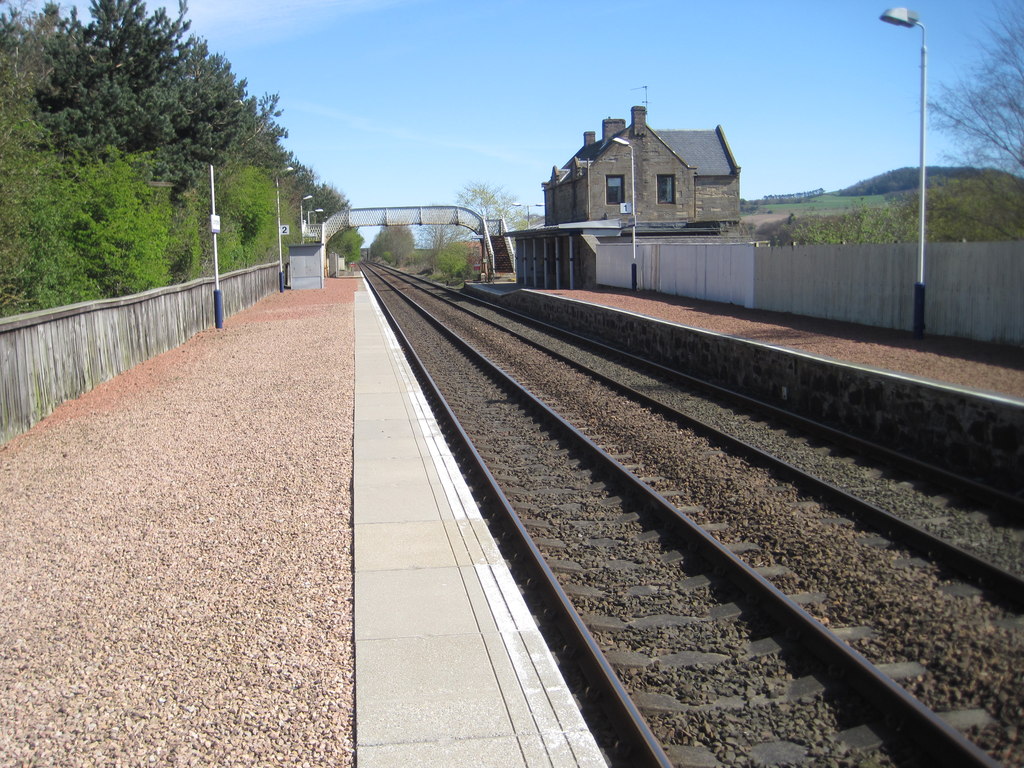
Springfield railway station (Scotland)

Springfield railway station serves the village of Springfield in Fife, Scotland. The station has two platforms and is unstaffed. Services are operated...

Nearby Amenities

Located within 500m of 56.276772,-3.0569385
Kirkton of Cults
Place: hamlet
Lat/Long: 56.2766287/-3.0561095
Cantrip Cottage Bed And Breakfast
Addr Country: GB
Addr Housename: Cantrip Cottage
Addr Postcode: KY15 7TE
Fhrs Id: 846073
Guest House: bed_and_breakfast
Tourism: guest_house
Lat/Long: 56.2770497/-3.0569887
Power: pole
Lat/Long: 56.2766593/-3.0646481
Power: pole
Lat/Long: 56.2761077/-3.063893
Power: pole
Lat/Long: 56.2755425/-3.0625456
Power: pole
Lat/Long: 56.275059/-3.0613379
Power: pole
Lat/Long: 56.2749955/-3.0611988
Power: pole
Lat/Long: 56.2749701/-3.0612882
Power: pole
Lat/Long: 56.27451/-3.0623328
Power: pole
Lat/Long: 56.2743509/-3.0637694
Power: pole
Lat/Long: 56.275352/-3.0600139
Power: pole
Lat/Long: 56.2756894/-3.0588282
Power: pole
Lat/Long: 56.2760291/-3.0576714
Power: pole
Lat/Long: 56.2754339/-3.0571647
Power: pole
Lat/Long: 56.2748464/-3.0566661
Power: pole
Lat/Long: 56.2745783/-3.057329
Power: pole
Lat/Long: 56.2741829/-3.0583115
Power: pole
Lat/Long: 56.2738131/-3.0592395
Power: pole
Lat/Long: 56.2742802/-3.0562004
Power: pole
Lat/Long: 56.2731961/-3.0552849
Entrance: main
Lat/Long: 56.2769197/-3.0562994
Power: pole
Lat/Long: 56.2743723/-3.0637908
Power: pole
Lat/Long: 56.2745306/-3.0623587
Power: pole
Lat/Long: 56.2749875/-3.0613155
Power: pole
Lat/Long: 56.2750181/-3.0612248
Power: pole
Lat/Long: 56.2753742/-3.0600293
Power: pole
Lat/Long: 56.2757012/-3.0588535
Power: pole
Lat/Long: 56.2760366/-3.0576851
Power: pole
Lat/Long: 56.276146/-3.0562976
Power: pole
Lat/Long: 56.2762995/-3.0552222
Power: pole
Lat/Long: 56.275072/-3.0613512
Power: pole
Lat/Long: 56.2755703/-3.0625758
Power: pole
Lat/Long: 56.2761225/-3.0639139
Material: wood
Power: pole
Lat/Long: 56.2766891/-3.0646687
Power: pole
Lat/Long: 56.2754469/-3.0571916
Power: pole
Lat/Long: 56.2748535/-3.0567004
Power: pole
Lat/Long: 56.2742834/-3.0562113
Power: pole
Lat/Long: 56.2737551/-3.0557732
Power: pole
Lat/Long: 56.2732059/-3.0552974
Power: pole
Lat/Long: 56.274598/-3.0573576
Power: pole
Lat/Long: 56.2741999/-3.058329
Power: pole
Lat/Long: 56.2738239/-3.0592584
The data included in this document is from www.openstreetmap.org. The data is made available under ODbL.

Have you been to Kirkton of Cults?

Leave your review of Kirkton of Cults below (or comments, questions and feedback).