Mill Hill
Hill, Mountain in Essex Uttlesford
England
Mill Hill
Mill Hill is a suburban area located in the London Borough of Barnet, in the county of Essex, England. It is situated about 9 miles northwest of Charing Cross, making it a desirable location for commuters working in central London. Mill Hill is bordered by the A1 road to the east and is nestled between the green spaces of Mill Hill Park and Totteridge Valley.
The area boasts a rich history, with evidence of human occupation dating back to the Iron Age. The name "Mill Hill" originates from the presence of several mills that once operated within the area. Today, it is a predominantly residential neighborhood with a mix of housing options, ranging from Victorian and Edwardian houses to modern apartments.
Mill Hill is known for its excellent schools, making it a popular choice for families. The area is home to several prestigious educational institutions, including Mill Hill School and The Mount, Mill Hill International. In addition to its educational facilities, Mill Hill has a vibrant community with a range of amenities such as shops, restaurants, and recreational facilities.
Nature enthusiasts will appreciate the abundance of green spaces in and around Mill Hill. Mill Hill Park offers a peaceful escape with its open fields, woodlands, and a lake. Totteridge Valley, a nearby nature reserve, provides opportunities for hiking and wildlife spotting.
Transport links are well-developed, with Mill Hill Broadway railway station connecting the area to central London via frequent train services. Several bus routes also serve the area, providing convenient access to neighboring towns and suburbs.
Overall, Mill Hill offers a charming suburban lifestyle within easy reach of the bustling city, making it a sought-after residential area in Essex.
If you have any feedback on the listing, please let us know in the comments section below.
Mill Hill Images
Images are sourced within 2km of 51.998812/0.20525142 or Grid Reference TL5135. Thanks to Geograph Open Source API. All images are credited.


Mill Hill is located at Grid Ref: TL5135 (Lat: 51.998812, Lng: 0.20525142)
Administrative County: Essex
District: Uttlesford
Police Authority: Essex
What 3 Words
///waistcoat.allies.bluff. Near Saffron Walden, Essex
Nearby Locations
Related Wikis

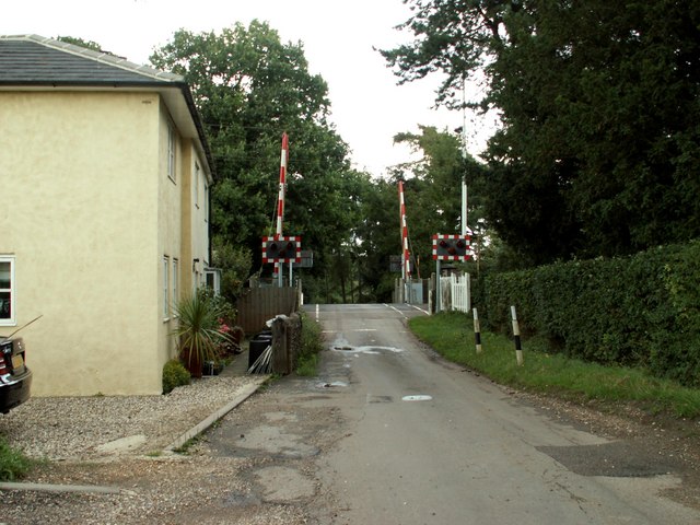
Audley End railway station
Audley End railway station is on the West Anglia Main Line serving the village of Wendens Ambo and the town of Saffron Walden in Essex, England. It is...

Wendens Ambo
Wendens Ambo is a village in the Uttlesford district of Essex, England. The population at the 2011 census was measured at 473. Its name originates from...

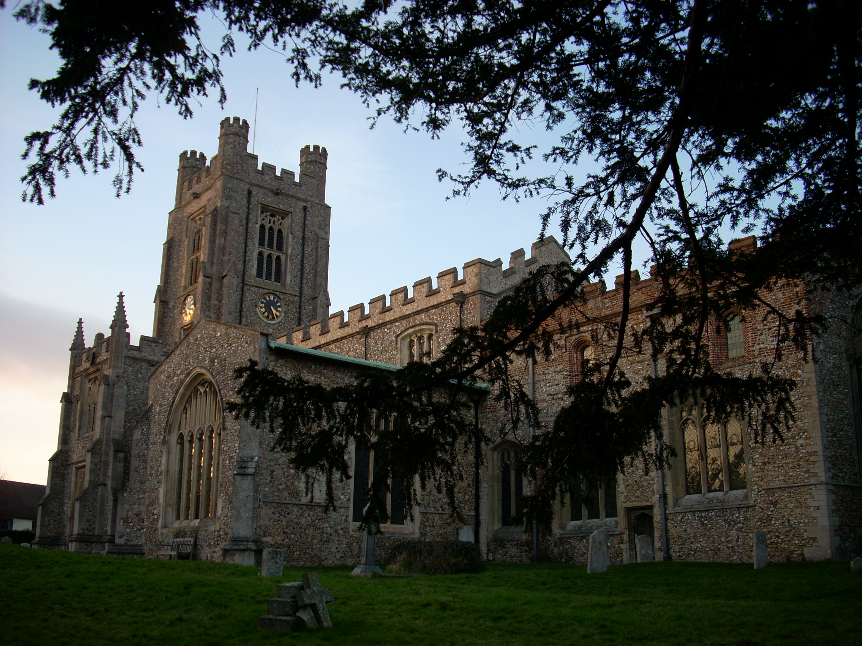
St Mary the Virgin Church, Wendens Ambo
St Mary the Virgin Church is a Church of England parish church in the village of Wendens Ambo in Essex, England. It is listed Grade I for its architectural...

Leper Stone
The Leper Stone or Newport Stone (grid reference TL520349) is a large sarsen stone near the village of Newport, Essex, England. The name Leper Stone probably...
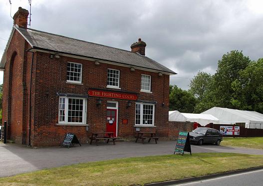
Waldstock Festival UK
Waldstock is an annual charity music festival held in the grounds of the Fighting Cocks Public House, Wendens Ambo, Essex. Waldstock is organised entirely...
Saffron Walden Rural District
Saffron Walden Rural District was a rural district in the county of Essex, England. It was created in 1894 and later enlarged by the addition of the parishes...
Joyce Frankland Academy
Joyce Frankland Academy, Newport, formerly Newport Free Grammar School, is a school in Newport, Essex, England. It was founded in 1588. The school is a...
Newport, Essex
Newport is a large village and civil parish in the Uttlesford district in Essex, near Saffron Walden. The village has a population of over 2,000, measured...
Nearby Amenities
Located within 500m of 51.998812,0.20525142Have you been to Mill Hill?
Leave your review of Mill Hill below (or comments, questions and feedback).