Cornwallis Hill
Hill, Mountain in Essex Uttlesford
England
Cornwallis Hill
Cornwallis Hill, located in Essex, England, is a prominent geographic feature known for its scenic beauty and historical significance. Standing tall at an elevation of approximately 100 meters, it is considered more of a hill than a mountain. Situated near the village of Great Bromley, Cornwallis Hill offers panoramic views of the surrounding countryside, making it a popular destination for nature enthusiasts and hikers.
Named after General Charles Cornwallis, a British military officer who played a significant role in the American Revolutionary War, the hill has historical significance. It is believed that Cornwallis used this hill as a vantage point during his military campaigns, making it an important strategic location.
The landscape of Cornwallis Hill is characterized by rolling green meadows, lush woodlands, and diverse wildlife. The hill is home to a variety of plant species, including wildflowers, grasses, and ancient oak trees. The area provides a habitat for numerous bird species, making it a haven for birdwatchers.
Visitors to Cornwallis Hill can explore the numerous walking trails that crisscross the area, providing opportunities to discover hidden gems and enjoy breathtaking views. There are also picnic spots available for visitors to relax and soak in the natural beauty of the surroundings.
Overall, Cornwallis Hill in Essex offers a tranquil escape from the hustle and bustle of city life, providing a serene environment for outdoor activities, nature appreciation, and a glimpse into the region's historical significance.
If you have any feedback on the listing, please let us know in the comments section below.
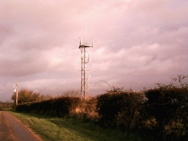
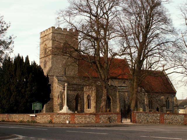
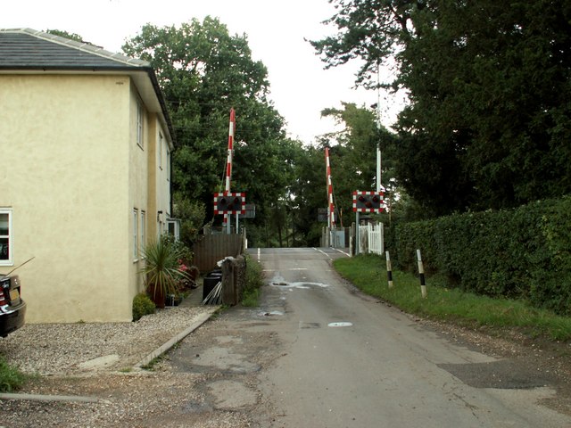
Cornwallis Hill Images
Images are sourced within 2km of 52.014901/0.20562002 or Grid Reference TL5137. Thanks to Geograph Open Source API. All images are credited.


Cornwallis Hill is located at Grid Ref: TL5137 (Lat: 52.014901, Lng: 0.20562002)
Administrative County: Essex
District: Uttlesford
Police Authority: Essex
What 3 Words
///treetop.topped.ankle. Near Saffron Walden, Essex
Nearby Locations
Related Wikis
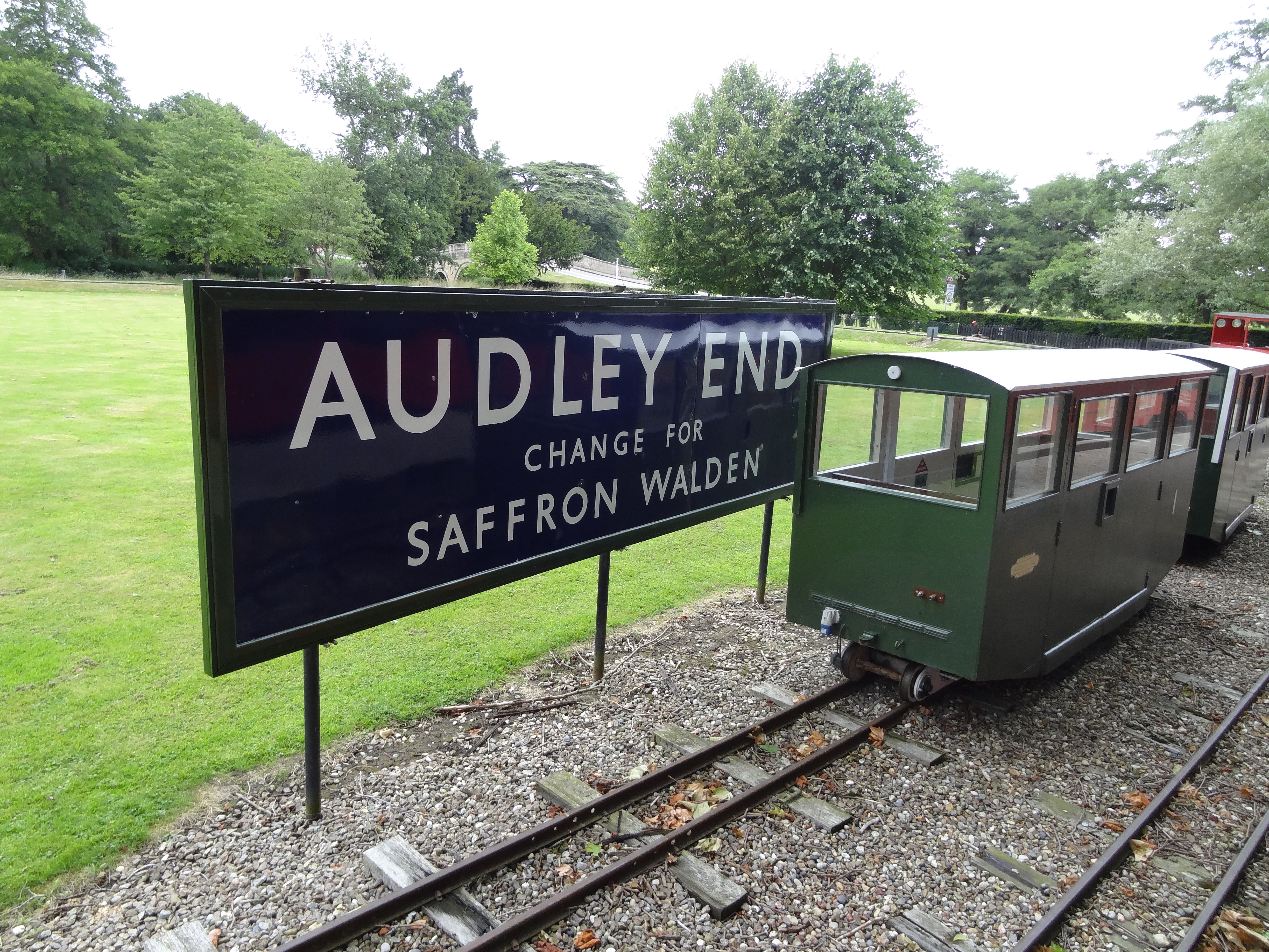
Audley End Railway
The Audley End Miniature Railway is a miniature railway in Essex, England. == Overview == The 10+1⁄4 in (260 mm)-gauge circuit was built by Lord Braybrooke...
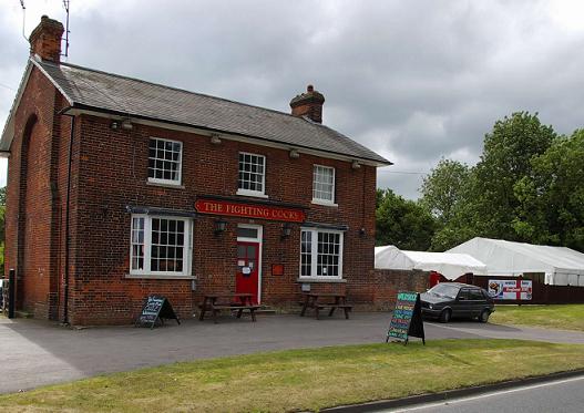
Waldstock Festival UK
Waldstock is an annual charity music festival held in the grounds of the Fighting Cocks Public House, Wendens Ambo, Essex. Waldstock is organised entirely...

St Mary the Virgin Church, Wendens Ambo
St Mary the Virgin Church is a Church of England parish church in the village of Wendens Ambo in Essex, England. It is listed Grade I for its architectural...

Wendens Ambo
Wendens Ambo is a village in the Uttlesford district of Essex, England. The population at the 2011 census was measured at 473. Its name originates from...

Garden Organic
Garden Organic, formerly known as the Henry Doubleday Research Association (HDRA), is a UK organic growing charity dedicated to researching and promoting...

Audley End railway station
Audley End railway station is on the West Anglia Main Line serving the village of Wendens Ambo and the town of Saffron Walden in Essex, England. It is...
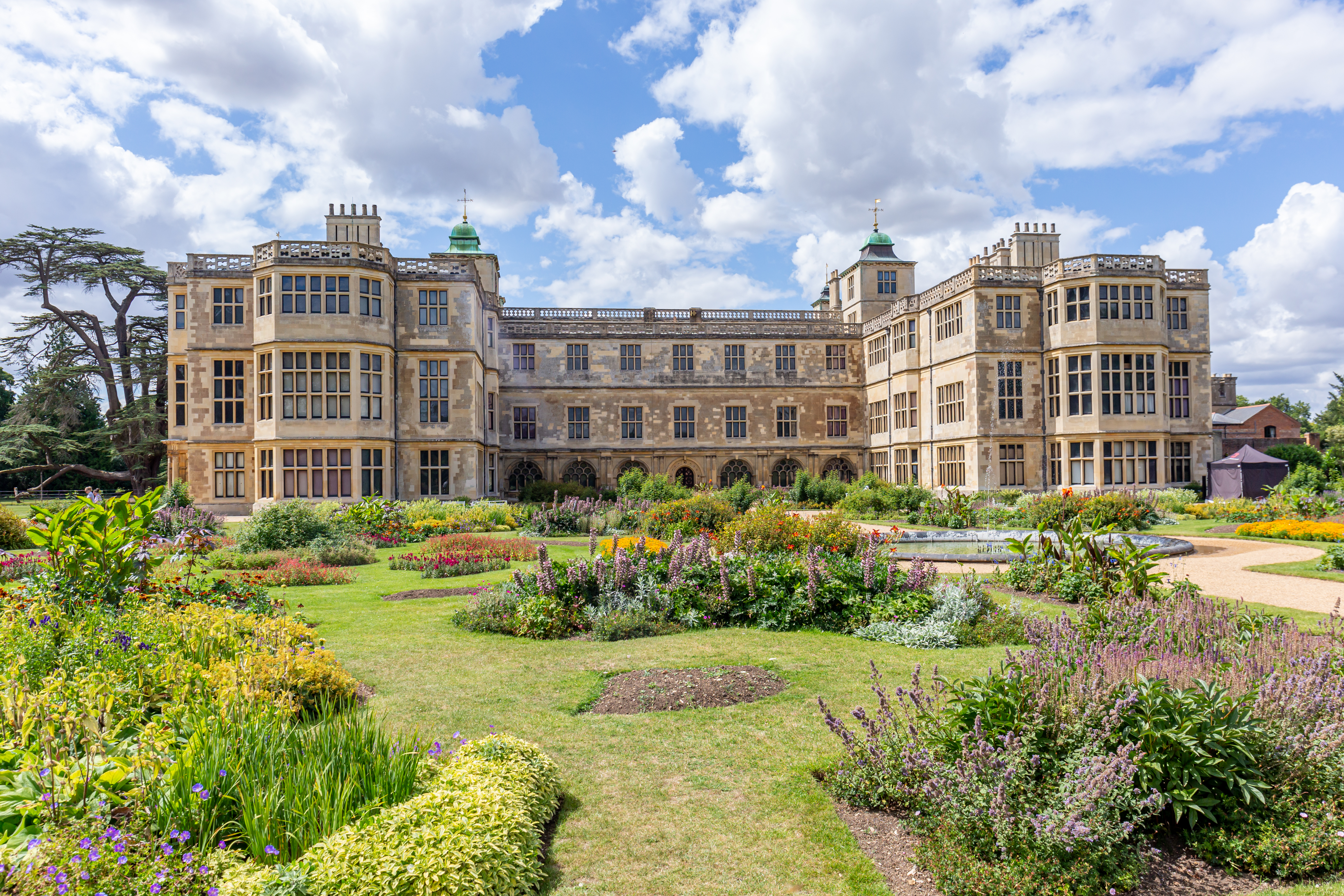
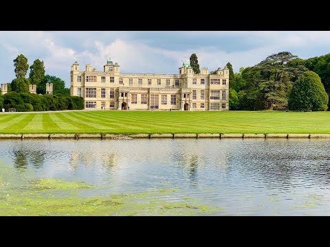
Audley End House
Audley End House is a largely early 17th-century country house outside Saffron Walden, Essex, England. It is a prodigy house, known as one of the finest...
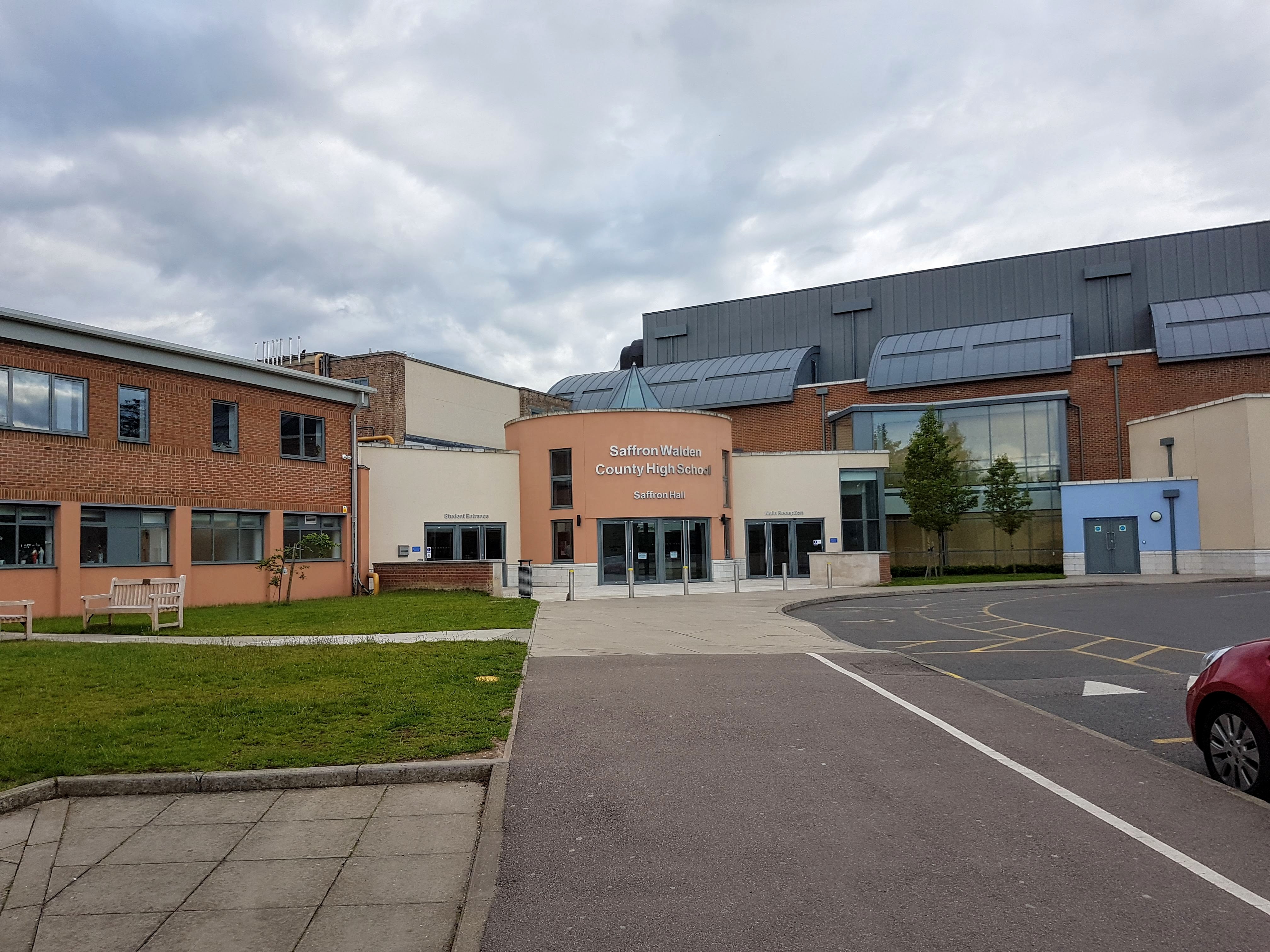
Saffron Walden County High School
Saffron Walden County High School (SWCHS) is a coeducational academy school for ages 11–18 in Saffron Walden, Essex, England. The school is also an accredited...
Related Videos

How to Make a Travel Picnic — The Victorian Way
Buy your copy of our 'Victorian Way' cookery book: http://bit.ly/2RPyrvQ Visit Audley End House and Gardens for yourself: ...

Take a Journey Through History: Explore the Magical Saffron Walden Walking Tour!
Saffron Walden is a beautiful little market town that lies between Cambridge and Stansted. It has a very relaxed feel about it.
Audley End House and Gardens, Essex, England #travel #travelling #england #essex
Audley End House is a largely early 17th-century country house outside Saffron Walden, Essex, England. Built by the first Earl of ...
Visit Saffron Walden Museum
If visiting Saffron Walden, this #short provides a guide to the Saffron Walden Museum As well as details on travelling to and other ...
Nearby Amenities
Located within 500m of 52.014901,0.20562002Have you been to Cornwallis Hill?
Leave your review of Cornwallis Hill below (or comments, questions and feedback).