Bunker's Hill

Hill, Mountain in Sussex Wealden

England

Bunker's Hill

The Half Moon Inn An attractive building at Friar's Gate on the B2188 near Crowborough.
The Half Moon Inn Credit: Jean Barrow

Bunker's Hill is a prominent geographical feature located in Sussex, England. Situated in the South Downs National Park, it is a hill/mountain of considerable historical and cultural significance. Rising to an elevation of approximately 243 meters (797 feet), Bunker's Hill offers breathtaking panoramic views of the surrounding countryside and coastline.

The hill derives its name from the historical events that took place during the Battle of Lewes in 1264. It is believed that King Henry III's forces, led by his son Prince Edward, used the hill as a strategic vantage point during the conflict. The battle was a pivotal moment in English history, as it led to the establishment of the first representative parliament.

Today, Bunker's Hill is a popular destination for outdoor enthusiasts and nature lovers. It boasts a variety of walking trails and footpaths that wind through picturesque landscapes, including woodlands, meadows, and chalk grasslands. The diverse flora and fauna found in the area make it an ideal spot for wildlife observation and birdwatching.

Furthermore, Bunker's Hill is often used for recreational activities such as hiking, cycling, and picnicking. The hill's proximity to nearby towns and villages, such as Lewes and Eastbourne, makes it easily accessible for day trips or longer excursions.

In conclusion, Bunker's Hill in Sussex is a historically significant and visually stunning hill/mountain that offers visitors a chance to immerse themselves in the natural beauty of the South Downs National Park while also experiencing a piece of England's rich history.

If you have any feedback on the listing, please let us know in the comments section below.

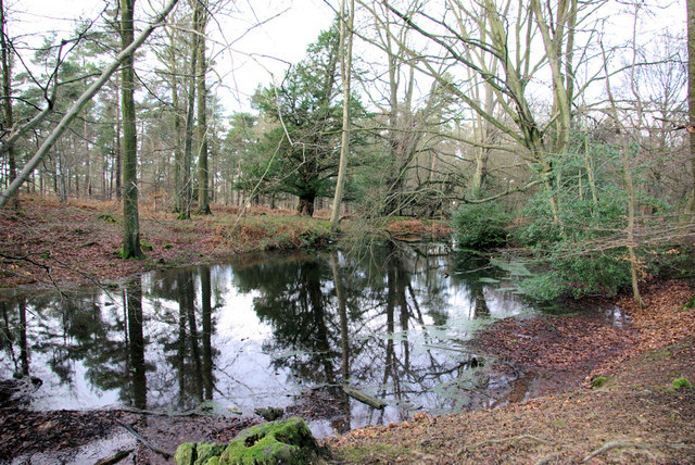
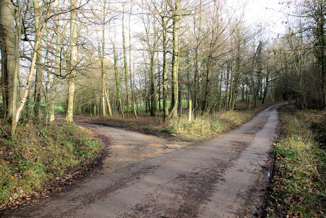
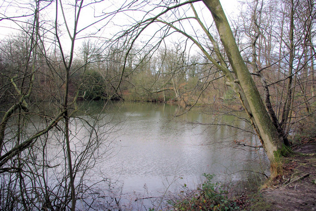
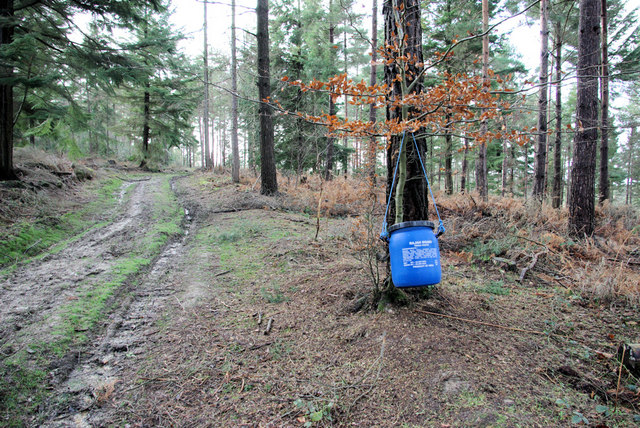
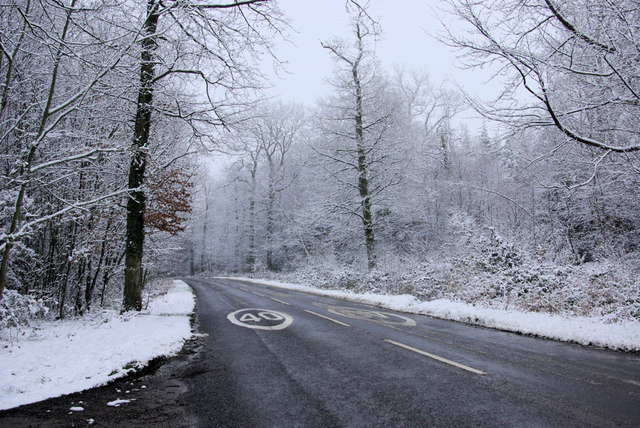
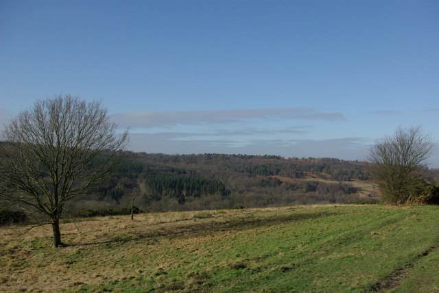
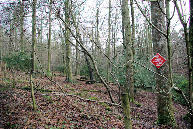
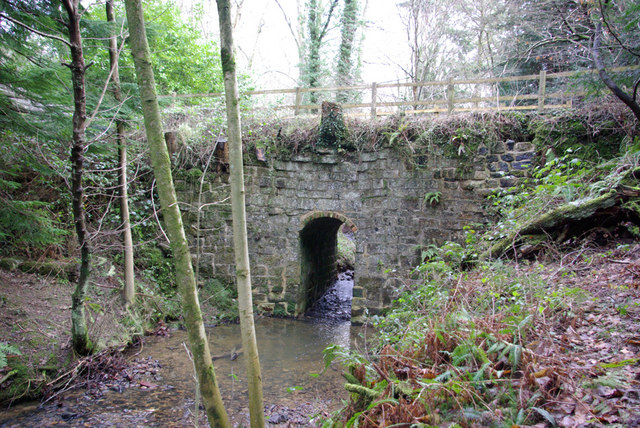
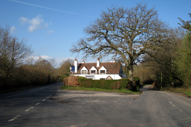
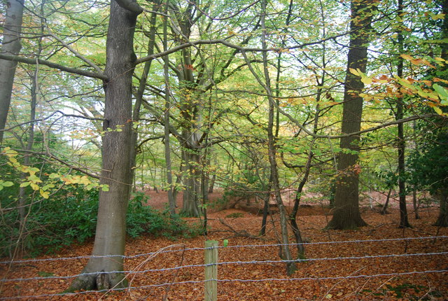
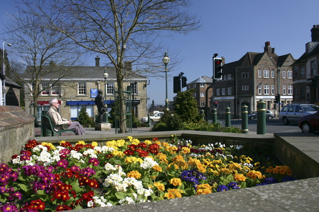
Bunker's Hill Images

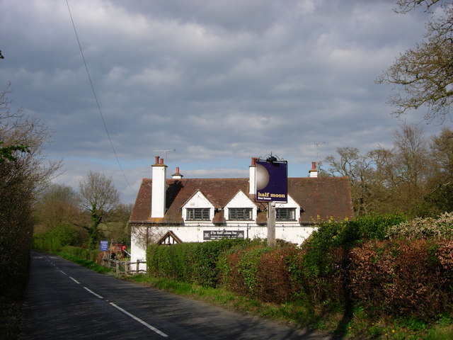
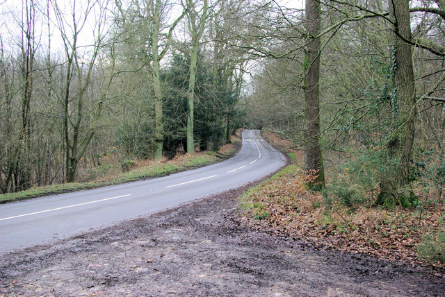
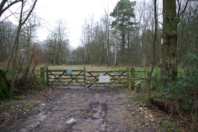
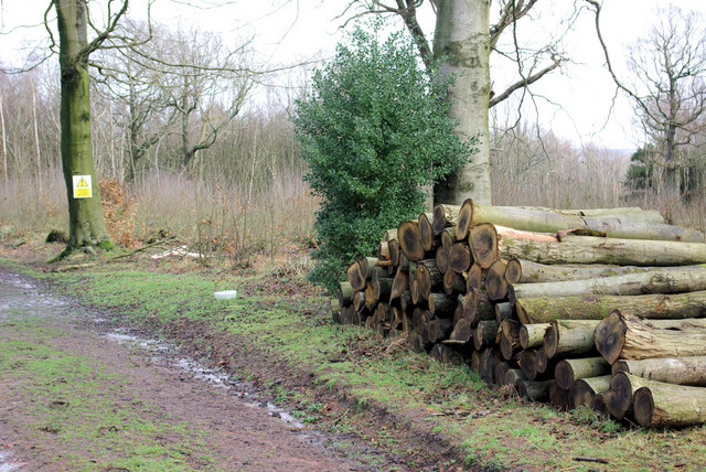
Images are sourced within 2km of 51.067283/0.14078207 or Grid Reference TQ5031. Thanks to Geograph Open Source API. All images are credited.

The Half Moon Inn An attractive building at Friar's Gate on the B2188 near Crowborough.
The Half Moon Inn
An attractive building at Friar's Gate on the B2188 near Crowborough.
Fagot Stack Corner on B2188 Fagots are rarely seen here now, but stacks occur in 500 Acre Wood behind the photographer.
Fagot Stack Corner on B2188
Fagots are rarely seen here now, but stacks occur in 500 Acre Wood behind the photographer.
Gateway to 500 Acre Wood The stile is for permitted access to this wood. The public footpath through the woods starts some yards to the right. Timber was shipped out through here recently, hence the hard standing laid down and still looking rather raw.
Gateway to 500 Acre Wood
The stile is for permitted access to this wood. The public footpath through the woods starts some yards to the right. Timber was shipped out through here recently, hence the hard standing laid down and still looking rather raw.
Forestry - 500 Acre Wood Beside the public footpath through the wood.
Forestry - 500 Acre Wood
Beside the public footpath through the wood.
Pond, 500 Acre Wood Possibly resulting from ironstone digging.
Pond, 500 Acre Wood
Possibly resulting from ironstone digging.
Triangular Junction,  Fishers Gate On the edge of 500 Acre Wood, the footpath route designated the "Wealdway" veers round to the left.
Triangular Junction, Fishers Gate
On the edge of 500 Acre Wood, the footpath route designated the "Wealdway" veers round to the left.
Large Pond, 500 Acre Wood The largest of the ponds in 500 Acre Wood, probably originally dug for ironstone. This one was being fished.
Large Pond, 500 Acre Wood
The largest of the ponds in 500 Acre Wood, probably originally dug for ironstone. This one was being fished.
Strange Food If the inscription is to be believed, the pheasants in 500 Acre Wood are fed Rajah brand tikka paste, product of India.
Strange Food
If the inscription is to be believed, the pheasants in 500 Acre Wood are fed Rajah brand tikka paste, product of India.
B2188 in the Snow. There is a 40 limit throughout Ashdown Forest except for the A22.
B2188 in the Snow.
There is a 40 limit throughout Ashdown Forest except for the A22.
View from Bunker's Hill The open ground is public access Ashdown Forest, the woodland is private.
View from Bunker's Hill
The open ground is public access Ashdown Forest, the woodland is private.
No Public Admittance The grounds of Crowborough Training Camp seen from the bridleway towards Crowborough.
No Public Admittance
The grounds of Crowborough Training Camp seen from the bridleway towards Crowborough.
Small Bridleway Bridge Rather a small aperture but possibly associated with former flow regulation by the upstream watermill - there is a second stream which merges with this one downstream.
Small Bridleway Bridge
Rather a small aperture but possibly associated with former flow regulation by the upstream watermill - there is a second stream which merges with this one downstream.
Wood Stacks By the public bridleway, which turns left here. Right is a track into extensive woodland, the nearest tract of which appears to be called The Orchard.
Wood Stacks
By the public bridleway, which turns left here. Right is a track into extensive woodland, the nearest tract of which appears to be called The Orchard.
Half Moon Public House
Warren House
Warren House
Wealdway, Five Hundred Acre Wood
Five Hundred Acre Wood
Private track into Five Hundred Acre Wood
Show me another place!

Bunker's Hill is located at Grid Ref: TQ5031 (Lat: 51.067283, Lng: 0.14078207)

Administrative County: East Sussex

District: Wealden

Police Authority: Sussex

What 3 Words

///stems.sliding.general. Near Crowborough, East Sussex

Related Wikis

Crowborough Community Church

Crowborough Community Church (also known as Community Church, Crowborough) is an Evangelical church in the town of Crowborough in East Sussex, England...

Crowborough

Crowborough is a town and civil parish in East Sussex, England, in the Weald at the edge of Ashdown Forest in the High Weald Area of Outstanding Natural...

A26 road

The A26 road is a primary route in the southeast of England, going from Maidstone to Newhaven through the counties of Kent and East Sussex. The road is...

Pratt's Mill, Crowborough

Pratt's Mill is a tower mill at Crowborough, Sussex, England which has been truncated and converted to residential accommodation. == History == Pratt...

Nearby Amenities

Located within 500m of 51.067283,0.14078207
Crossing
Crossing: uncontrolled
Crossing Markings: yes
Lat/Long: 51.0632664/0.1437487
Post Box
Post Box Type: pillar
Ref: TN6 253
Royal Cypher: EVIIIR
Royal Cypher Wikidata: Q33102195
Lat/Long: 51.0642703/0.145278
Post Box
Operator: Royal Mail
Post Box Type: lamp
Ref: TN6 179
Royal Cypher: EIIR
Royal Cypher Wikidata: Q33102113
Lat/Long: 51.0703661/0.1405527
Generator Method: photovoltaic
Generator Output Electricity: yes
Generator Source: solar
Generator Type: solar_photovoltaic_panel
Location: roof
Power: generator
Lat/Long: 51.0675789/0.1466981
Bench
Lat/Long: 51.0654339/0.1388278
Direction: 235
Tourism: viewpoint
Lat/Long: 51.0654322/0.1387539
Bunker's Hill
Place: locality
Lat/Long: 51.0677604/0.1371238
The data included in this document is from www.openstreetmap.org. The data is made available under ODbL.

Have you been to Bunker's Hill?

Leave your review of Bunker's Hill below (or comments, questions and feedback).