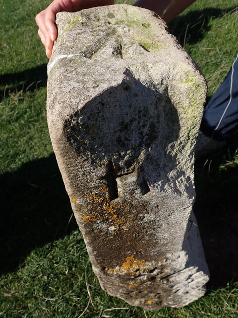
Cliffe Hill
Hill, Mountain in Sussex Lewes
England
Cliffe Hill
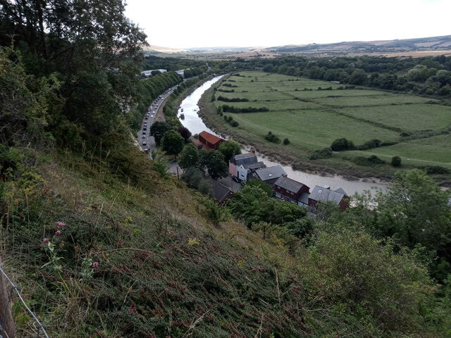
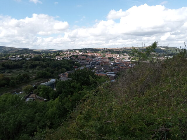
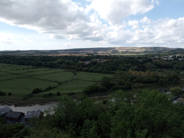
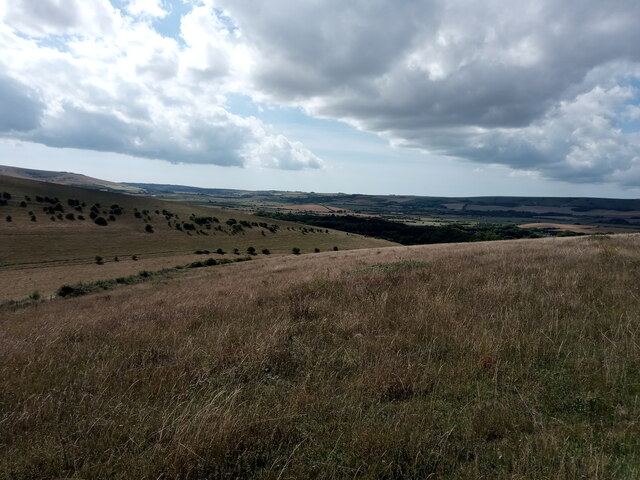
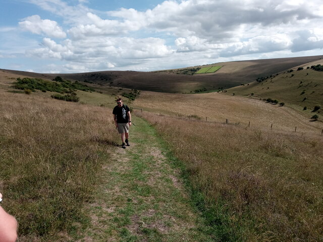
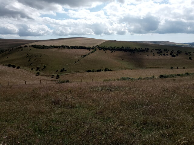
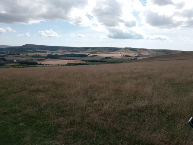
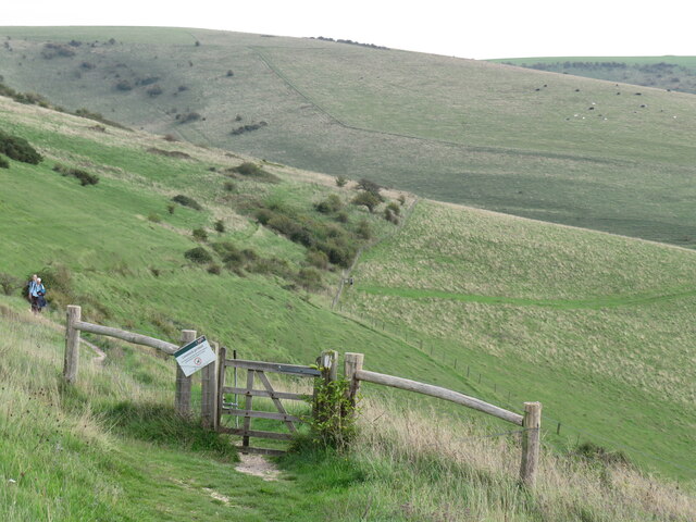
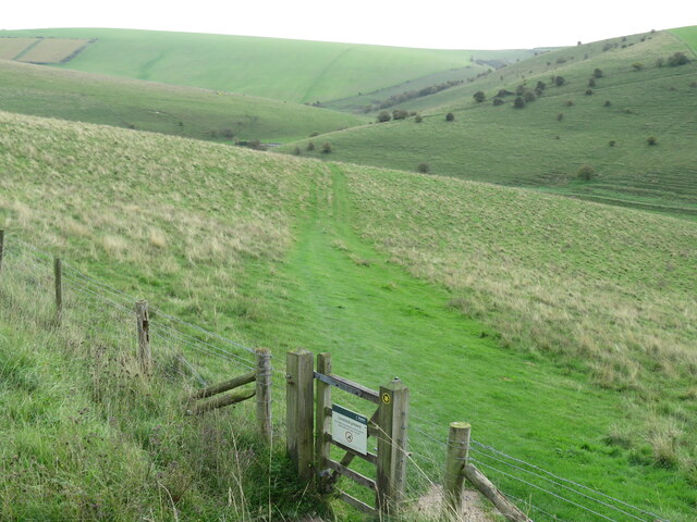
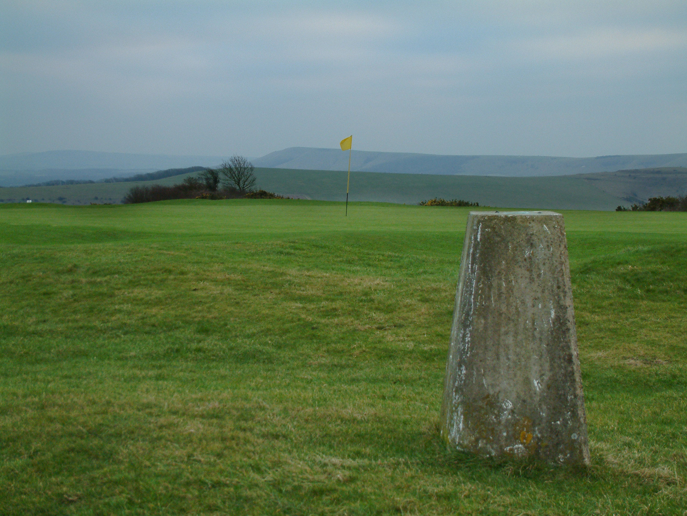
Cliffe Hill is a prominent hill located in Sussex, England. It is part of the South Downs National Park and offers breathtaking views of the surrounding countryside. Standing at an impressive elevation of 255 meters (837 feet), it is often referred to as a hill rather than a mountain due to its relatively low altitude.
The hill is known for its distinctive chalky white appearance, a characteristic feature of the South Downs. Cliffe Hill is covered in lush green grass and dotted with patches of vibrant wildflowers during the summer months. This creates a picturesque landscape that attracts visitors from far and wide.
The area surrounding Cliffe Hill is rich in biodiversity, with a variety of plant and animal species making it their home. The hill is particularly renowned for its diverse bird population, making it a popular spot for birdwatching enthusiasts.
There are several walking trails and footpaths that wind their way up the hill, providing visitors with an opportunity to explore the pristine natural beauty of the area. On a clear day, it is possible to see as far as the English Channel from the summit of Cliffe Hill.
In addition to its natural beauty, Cliffe Hill also holds historical significance. It is believed to have been used as a defensive site during the Iron Age, and remnants of ancient hillforts can still be seen today.
Overall, Cliffe Hill offers a tranquil and idyllic setting where visitors can immerse themselves in nature and enjoy breathtaking panoramic views of the Sussex countryside.
If you have any feedback on the listing, please let us know in the comments section below.
Cliffe Hill Images
Images are sourced within 2km of 50.877824/0.03681549 or Grid Reference TQ4310. Thanks to Geograph Open Source API. All images are credited.


Cliffe Hill is located at Grid Ref: TQ4310 (Lat: 50.877824, Lng: 0.03681549)
Administrative County: East Sussex
District: Lewes
Police Authority: Sussex
What 3 Words
///importers.yachting.munched. Near Ringmer, East Sussex
Nearby Locations
Related Wikis
Cliffe Hill
Cliffe Hill is a hill to the east of the town of Lewes in East Sussex, England. It is impressive on its western edge, where it looms over Lewes. Its summit...

Lewes Downs
Lewes Downs is a 165-hectare (410-acre) biological Site of Special Scientific Interest east of Lewes in East Sussex. It is a Nature Conservation Review...

Lewes avalanche
The Lewes avalanche occurred on 27 December 1836 in Lewes, East Sussex, when a huge build-up of snow on a chalk cliff overlooking the town collapsed into...

Malling Down
Malling Down is an 85-hectare (210-acre) nature reserve on the eastern outskirts of Lewes in East Sussex. It is managed by the Sussex Wildlife Trust....
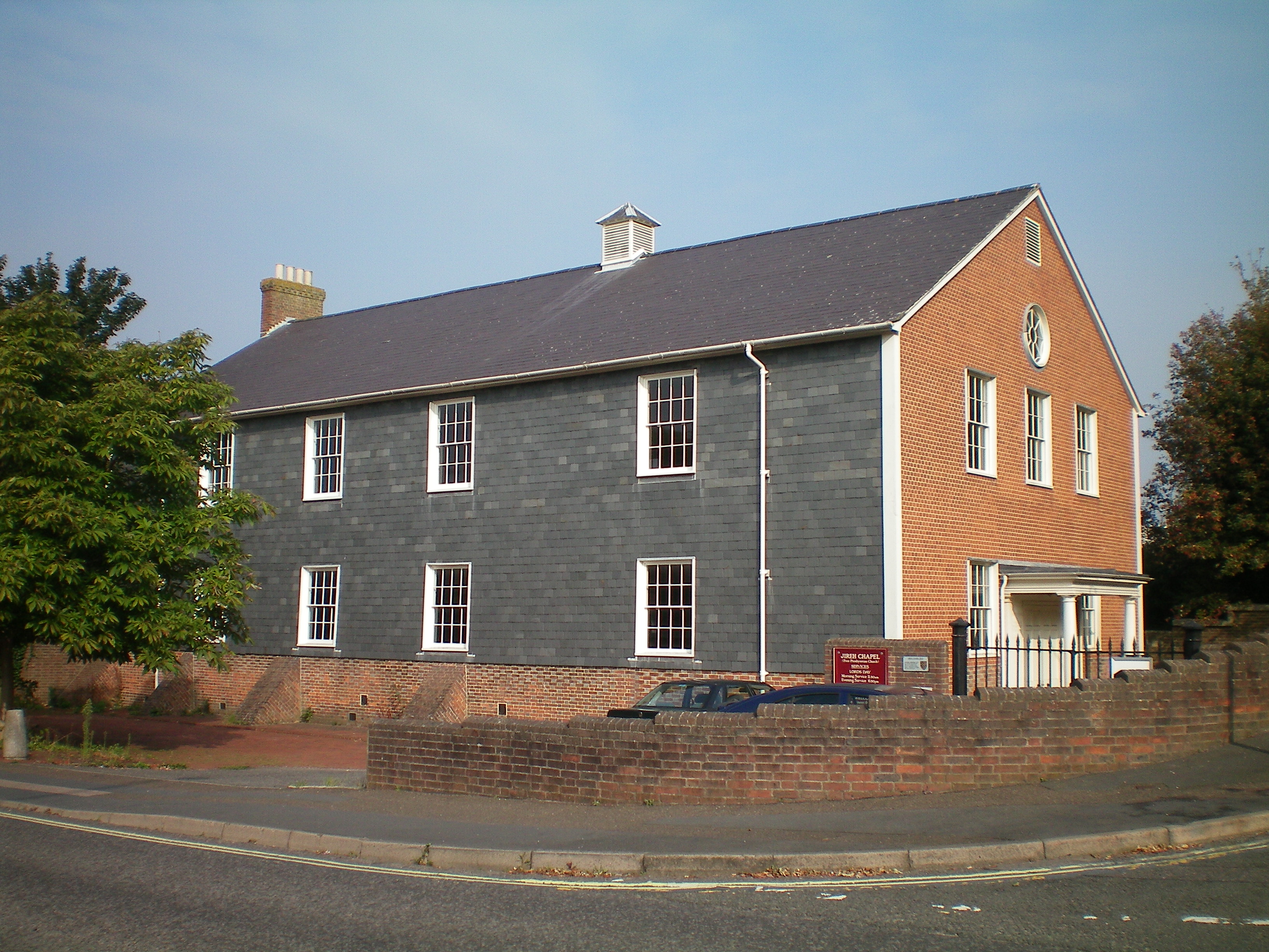
Lewes Free Presbyterian Church
Lewes Free Presbyterian Church, based in the Jireh Chapel, is one of seven Free Presbyterian Church of Ulster places of worship in England. The Jireh Chapel...

Lewes (UK Parliament constituency)
Lewes is a constituency in East Sussex represented in the House of Commons of the UK Parliament since 2015 by Maria Caulfield, a Conservative. == Constituency... ==

Southerham Works Pit
Southerham Works Pit is a 1-hectare (2.5-acre) geological Site of Special Scientific Interest in Lewes in East Sussex. It is a Geological Conservation...
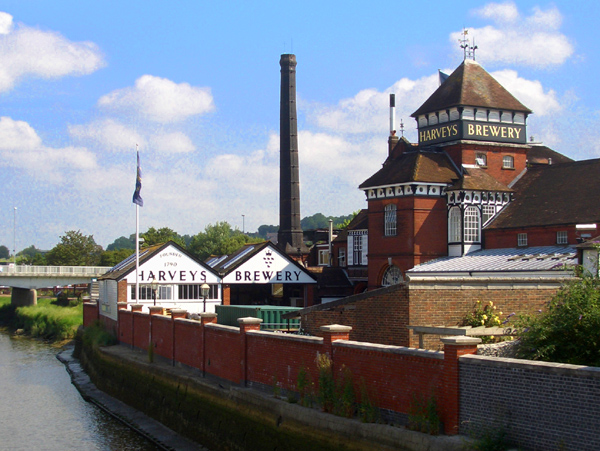
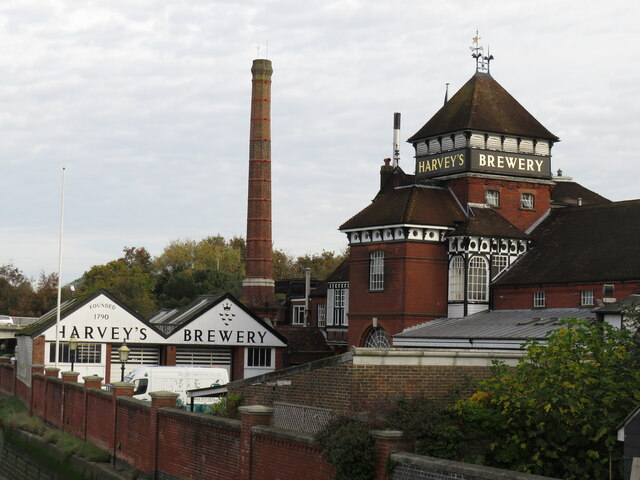
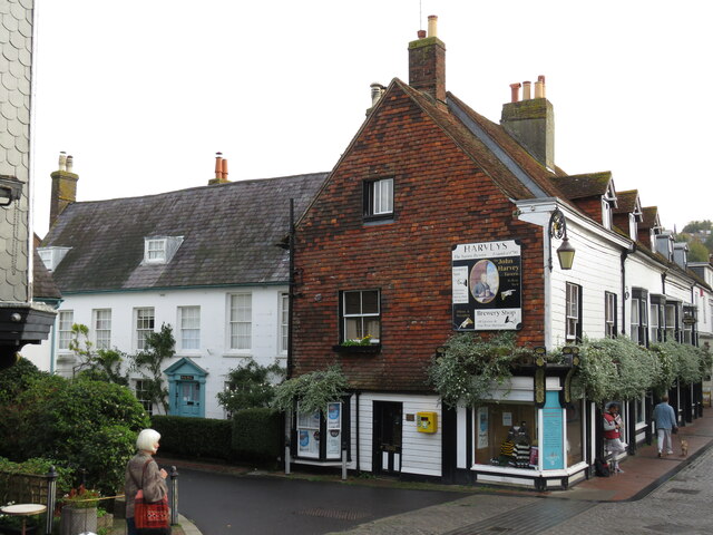
Harvey's Brewery
Harvey's Brewery is a brewery in Lewes, East Sussex, England. Harvey's estate includes 45 tied houses, mostly in Sussex, and three in London: Royal Oak...
Nearby Amenities
Located within 500m of 50.877824,0.03681549Have you been to Cliffe Hill?
Leave your review of Cliffe Hill below (or comments, questions and feedback).