Dalby Hill
Hill, Mountain in Lincolnshire East Lindsey
England
Dalby Hill
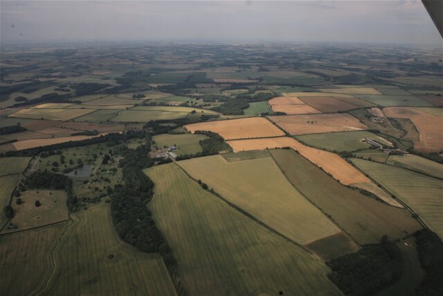
Dalby Hill, located in Lincolnshire, England, is a prominent hill that offers stunning views and a rich historical significance. Standing at an elevation of approximately 137 meters (449 feet), it is classified as a hill rather than a mountain due to its lower height.
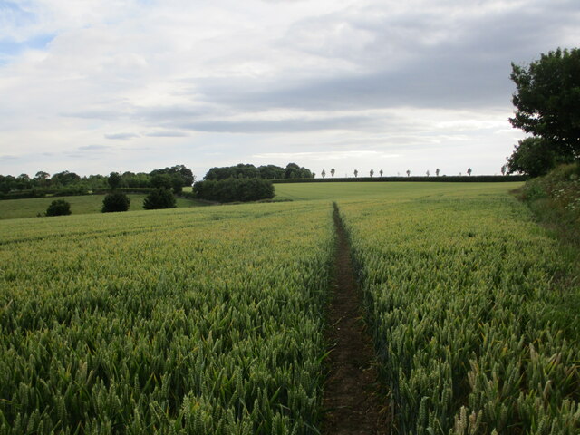
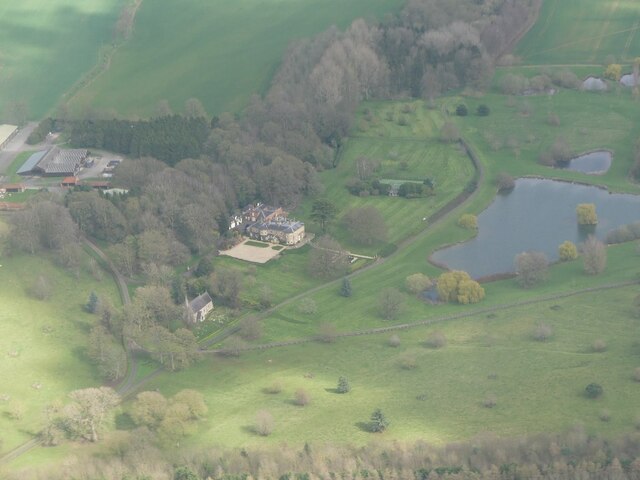
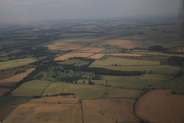
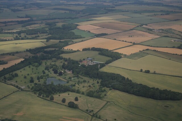
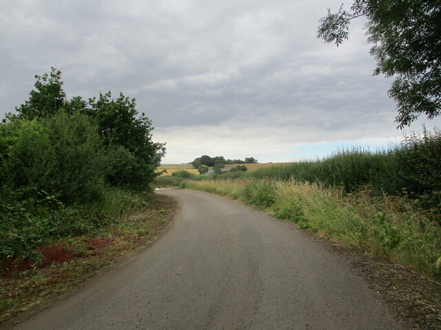
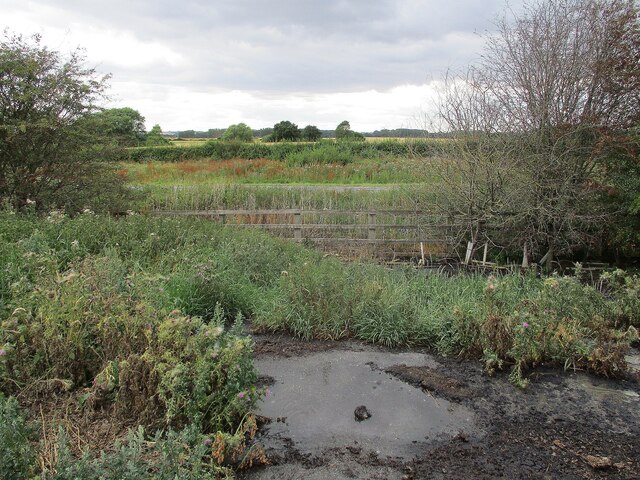
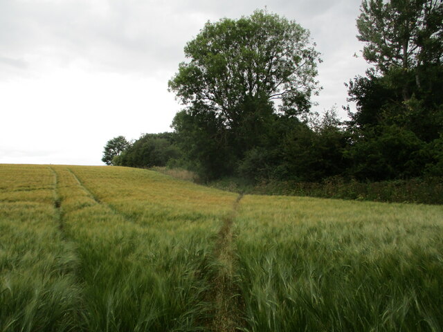
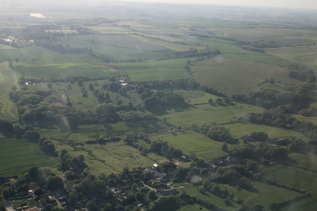
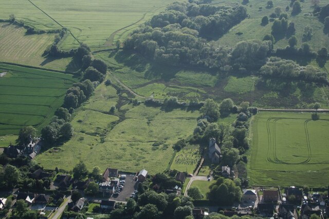
Dalby Hill is situated near the village of Dalby, about 7 kilometers (4 miles) southwest of the town of Spilsby. It is a popular spot for outdoor enthusiasts, nature lovers, and history buffs alike. The hill is covered in lush greenery, with a variety of trees and vegetation adorning its slopes.
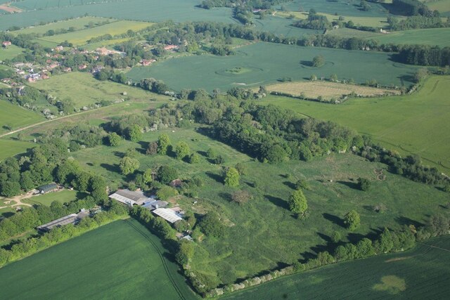
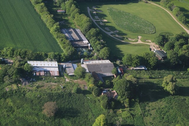
Historically, Dalby Hill has served as an important site for various activities. It is believed to have been a Bronze Age burial mound, as some archaeological evidence suggests. Additionally, during the Iron Age, the hill likely hosted a hillfort, potentially serving as a defensive position. Over the years, several artifacts, including pottery, have been discovered in the vicinity, further supporting its historical significance.
Visitors to Dalby Hill can enjoy breathtaking panoramic views of the surrounding countryside and coastline. On clear days, the view stretches for miles, showcasing the beauty of Lincolnshire. The hill provides an excellent vantage point for photography and picnicking, allowing visitors to appreciate the natural splendor of the area.
In conclusion, Dalby Hill in Lincolnshire is a picturesque and historically significant hill that offers visitors a chance to immerse themselves in nature and uncover the region's rich past.
If you have any feedback on the listing, please let us know in the comments section below.
Dalby Hill Images
Images are sourced within 2km of 53.200263/0.11526543 or Grid Reference TF4169. Thanks to Geograph Open Source API. All images are credited.


Dalby Hill is located at Grid Ref: TF4169 (Lat: 53.200263, Lng: 0.11526543)
Administrative County: Lincolnshire
District: East Lindsey
Police Authority: Lincolnshire
What 3 Words
///fallback.concerts.earlobe. Near Spilsby, Lincolnshire
Nearby Locations
Related Wikis

Partney
Partney is a small village and civil parish in the East Lindsey district of Lincolnshire, England. It is situated 3 miles (4.8 km) north of Spilsby, and...

Dalby, Lincolnshire
Dalby is a village and civil parish in the East Lindsey district of Lincolnshire, England. It is situated approximately 3 miles (5 km) north from the town...

Skendleby Priory
Skendleby Priory was a priory in the village of Skendleby, Lincolnshire, England. The believed remains of St James Chapel, Skendleby Priory, were uncovered...

Skendleby
Skendleby is a small village and civil parish in the East Lindsey district of Lincolnshire, England. It is situated near to the A158 and lies 35 miles...
Dexthorpe
Dexthorpe is a deserted medieval village in the East Lindsey district of Lincolnshire, England. It is in the parish of Dalby, and 3.5 miles (5.6 km) north...

Langton by Spilsby
Langton by Spilsby, sometimes called Langton by Partney, is a village and civil parish in the East Lindsey district of Lincolnshire, England. It is situated...
Fordington, Lincolnshire
Fordington is a hamlet in the East Lindsey district of Lincolnshire in England. It is situated within Ulceby with Fordington civil parish. == References... ==

Ashby by Partney
Ashby by Partney is a village and former civil parish, now in the parish of Ashby with Scremby, in the East Lindsey district of Lincolnshire, England....
Nearby Amenities
Located within 500m of 53.200263,0.11526543Have you been to Dalby Hill?
Leave your review of Dalby Hill below (or comments, questions and feedback).