Limekiln Hill
Hill, Mountain in Sussex Lewes
England
Limekiln Hill
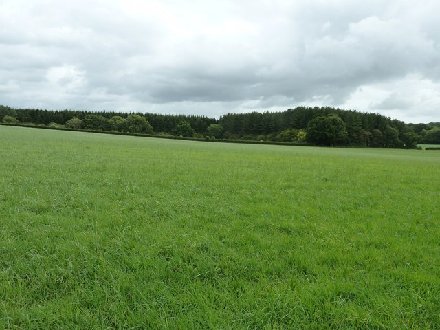
Limekiln Hill is a prominent geographical feature located in the county of Sussex, England. Situated near the village of Robertsbridge, it is part of the High Weald Area of Outstanding Natural Beauty. Despite being referred to as a hill, Limekiln Hill is more accurately described as a steep slope, offering breathtaking views of the surrounding countryside.
The hill gets its name from the limekiln that once stood at its summit. Limekilns were used for the production of quicklime, a mineral used for various purposes, such as building materials and agriculture. While the limekiln itself no longer exists, its historical significance is still evident in the name of the hill.
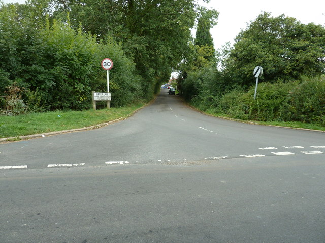
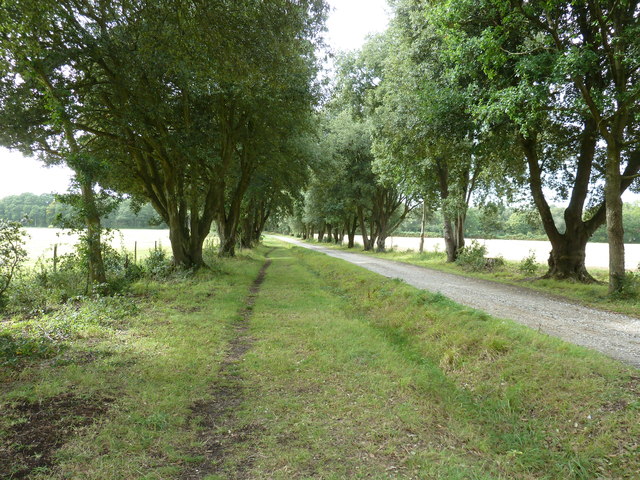
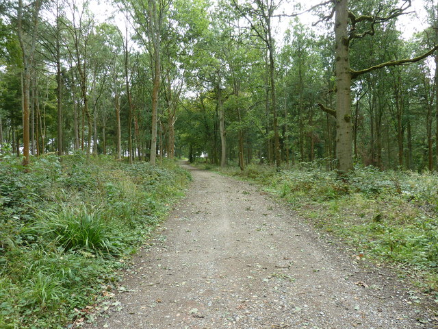
Limekiln Hill is a popular destination for outdoor enthusiasts and nature lovers. It is traversed by several footpaths and bridleways, allowing visitors to explore the area's diverse flora and fauna. The hill is covered in lush woodland, predominantly comprised of oak and beech trees, providing a habitat for various wildlife species.
In addition to its natural beauty, Limekiln Hill also boasts an interesting historical background. It is believed to have been used as a vantage point during the Norman Conquest of England in 1066. The hill's strategic location provided a commanding view of the surrounding landscape, making it an ideal spot for military observation.
Overall, Limekiln Hill is a picturesque and historically significant landmark in Sussex. Its stunning views, diverse wildlife, and rich history make it a must-visit destination for those seeking to immerse themselves in the natural and cultural heritage of the region.
If you have any feedback on the listing, please let us know in the comments section below.
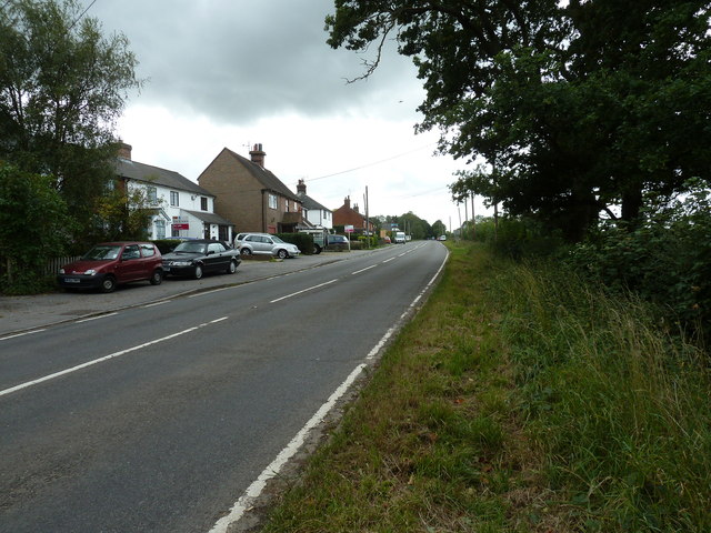
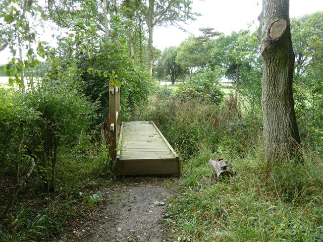
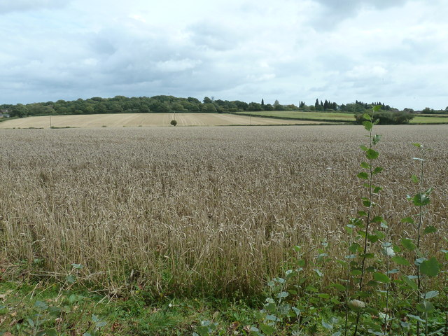
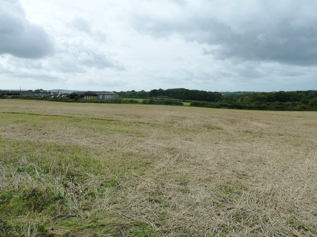
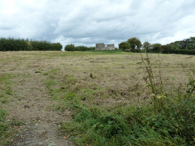
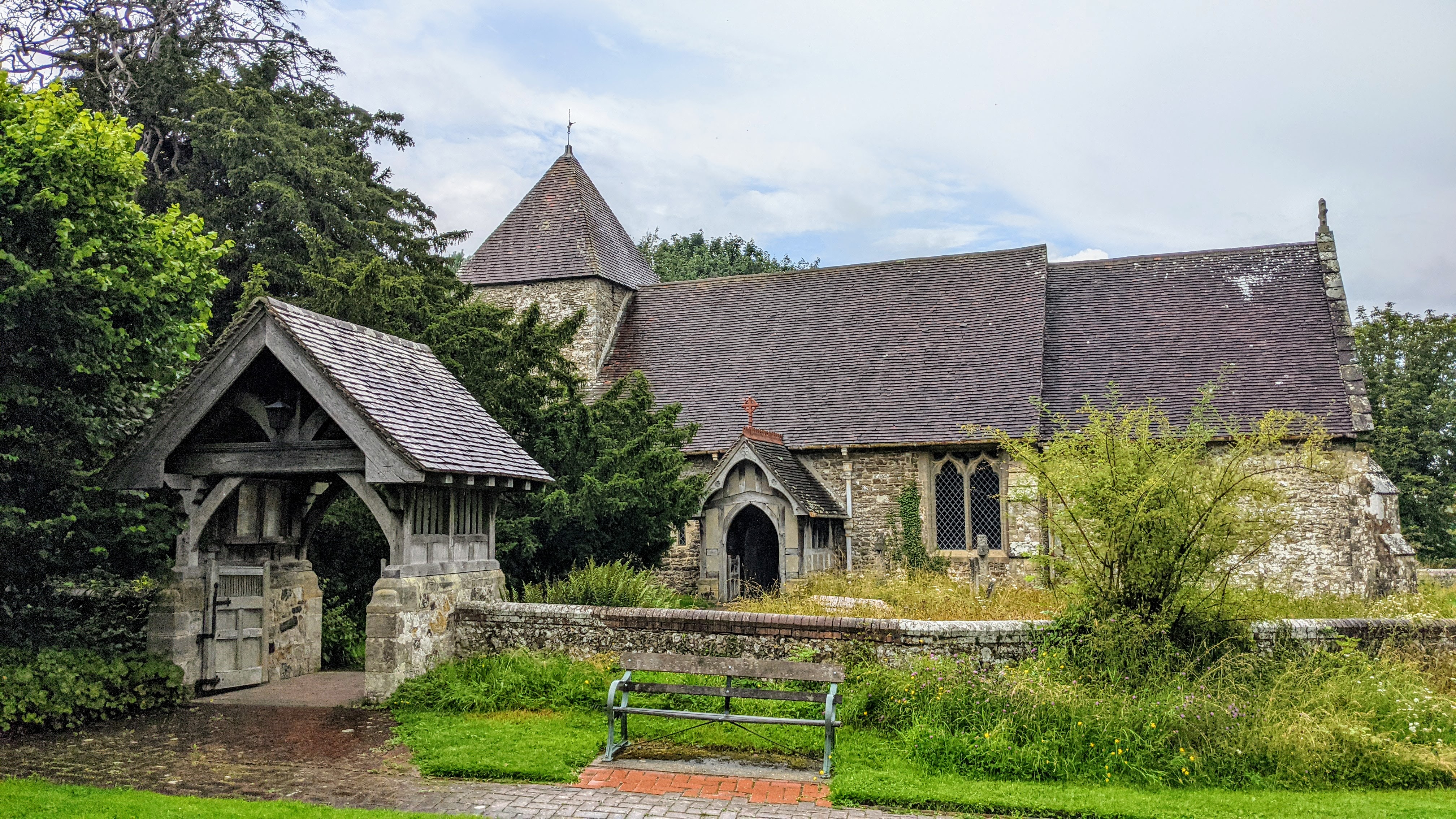
Limekiln Hill Images
Images are sourced within 2km of 50.933718/-0.014327997 or Grid Reference TQ3916. Thanks to Geograph Open Source API. All images are credited.


Limekiln Hill is located at Grid Ref: TQ3916 (Lat: 50.933718, Lng: -0.014327997)
Administrative County: East Sussex
District: Lewes
Police Authority: Sussex
What 3 Words
///sing.fried.conqueror. Near South Chailey, East Sussex
Nearby Locations
Related Wikis

Chailey School
Chailey Secondary School opened in April 1958, is a comprehensive secondary school located in the village of South Chailey, Chailey, just outside Lewes...

Barcombe railway station
Barcombe was a railway station serving the village of Barcombe in East Sussex. It was part of the East Grinstead to Lewes line, part of which now makes...

Barcombe
Barcombe is an East Sussex village and civil parish in the Lewes District of East Sussex. The parish has four settlements: old Barcombe (TQ 418 143), the...

Chailey Moat
Chailey Moat is a Grade II listed building near the village of Chailey, East Sussex. It is a 16th-century moated two storey house with an 18th-century...

St John Without
St John Without is a small civil parish in the Lewes District of East Sussex, England, covering an area to the north-west of the town of Lewes. Much...
East Chiltington
East Chiltington is a village and civil parish in the Lewes District of East Sussex, England. It is centred four miles (5.9 km) south-east of Burgess Hill...

Chailey
Chailey is a village and civil parish in the Lewes District of East Sussex, England. It is located 7 miles north of Lewes, on the A272 road from Winchester...
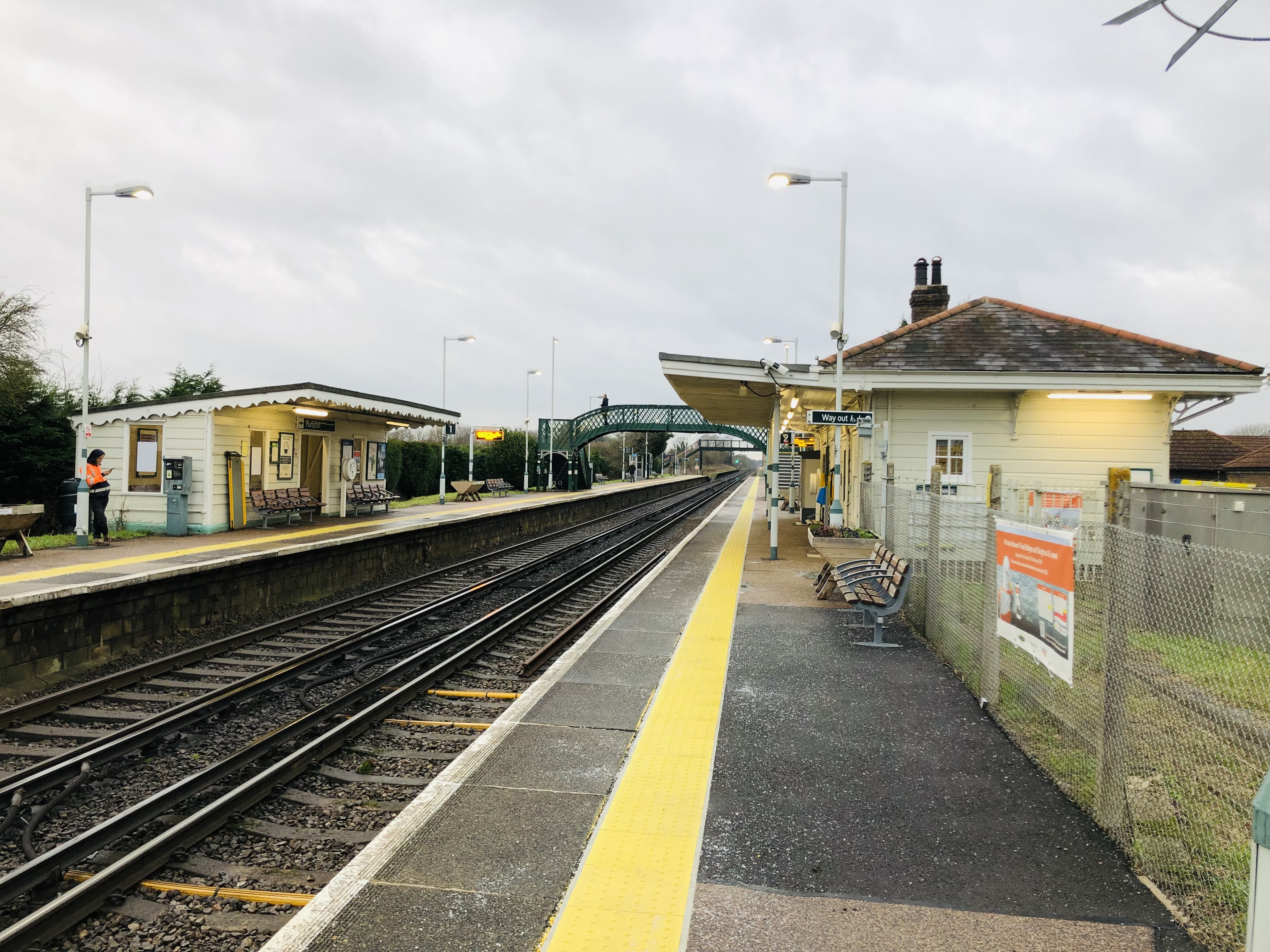
Plumpton railway station
Plumpton railway station serves the village of Plumpton in East Sussex, England. It is 44 miles 42 chains (71.7 km) from London Bridge via Redhill. Train...
Nearby Amenities
Located within 500m of 50.933718,-0.014327997Have you been to Limekiln Hill?
Leave your review of Limekiln Hill below (or comments, questions and feedback).