Lincoln Hill

Hill, Mountain in Hertfordshire East Hertfordshire

England

Lincoln Hill

River Quin at Stapleton Bridge Viewed looking downstream the river makes a right-angled turn to the right at the confluence with the two other streams in the distance.
River Quin at Stapleton Bridge Credit: Nigel Cox

Lincoln Hill is a prominent landmark located in Hertfordshire, England. Situated in the eastern part of the county, this hill is renowned for its picturesque natural beauty and stunning views. Although referred to as a hill, it is more accurately described as a slightly elevated area that provides a gentle incline rather than a steep slope.

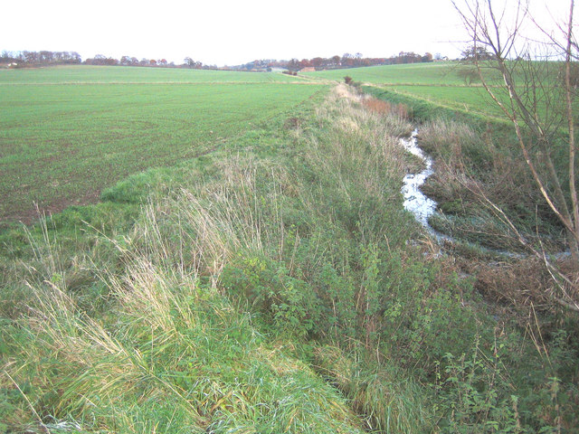
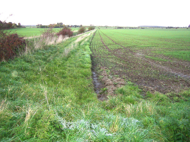
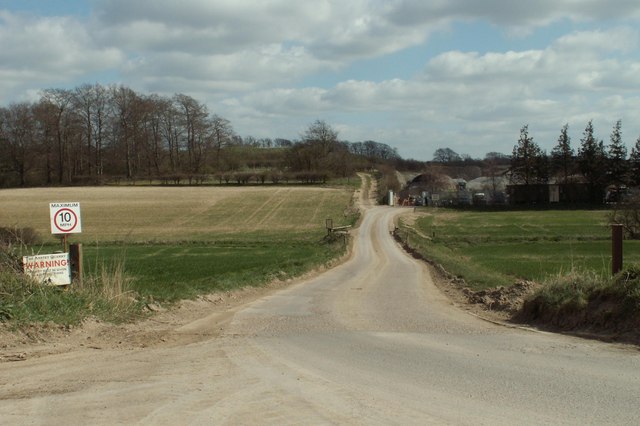
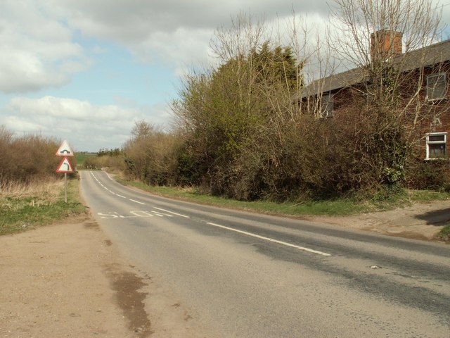
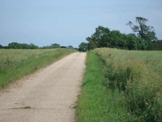
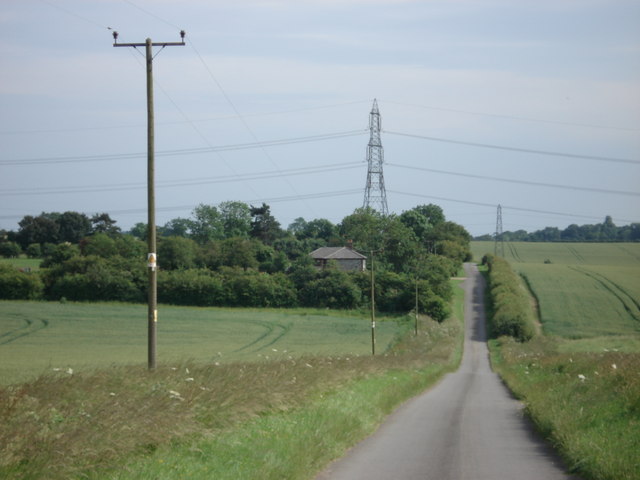
Covered in lush greenery and dotted with a variety of trees and shrubs, Lincoln Hill offers a tranquil escape from the hustle and bustle of daily life. The hill is a popular destination for nature lovers, hikers, and cyclists seeking to explore the surrounding countryside. Its well-maintained footpaths and trails make it an ideal location for outdoor activities.

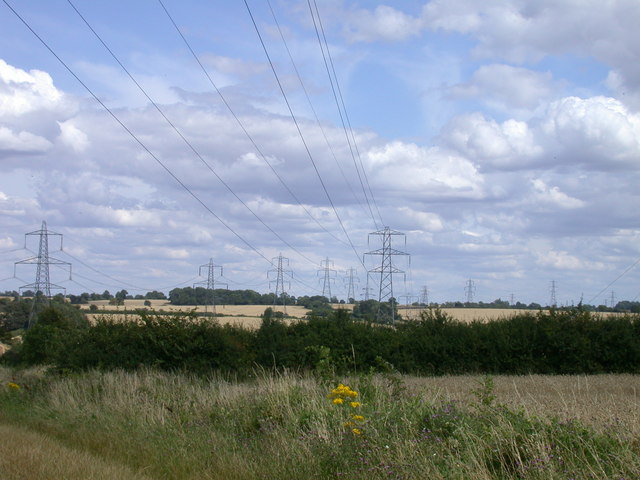
At the peak of Lincoln Hill, visitors are rewarded with breathtaking panoramic vistas of the surrounding Hertfordshire landscape. On clear days, one can see the rolling hills, meandering rivers, and quaint villages that make up the region. The hill's elevated position also provides a fantastic vantage point for observing wildlife in their natural habitat, such as birds soaring through the sky or deer grazing in the distance.

Aside from its natural beauty, Lincoln Hill also holds historical significance. It is believed to have derived its name from Abraham Lincoln, the 16th President of the United States, who had roots in Hertfordshire. This connection adds a touch of intrigue and curiosity to the hill, attracting history enthusiasts and Lincoln enthusiasts alike.

Overall, Lincoln Hill in Hertfordshire is a captivating destination that offers a harmonious blend of natural splendor, recreational opportunities, and historical charm. Whether one seeks a peaceful hike, a chance to commune with nature, or a glimpse into the past, this hill provides an unforgettable experience.

If you have any feedback on the listing, please let us know in the comments section below.
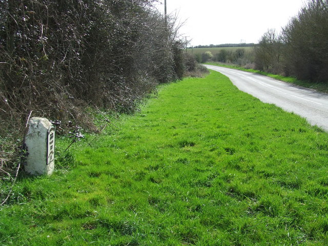
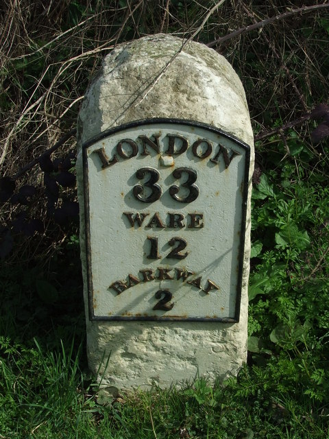
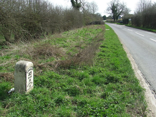
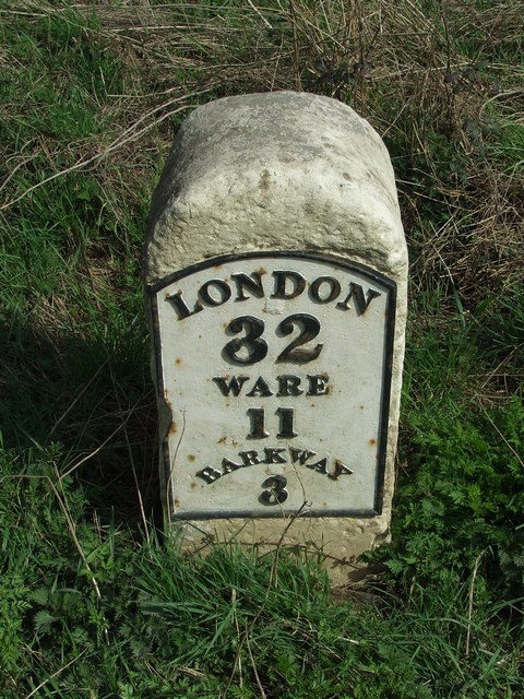
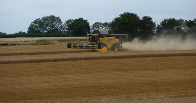
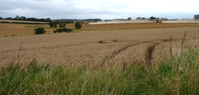
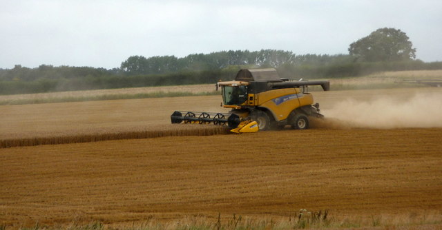
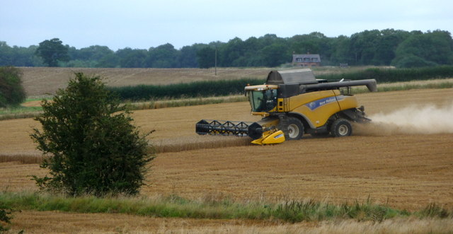
Lincoln Hill Images

Images are sourced within 2km of 51.970894/0.031108064 or Grid Reference TL3932. Thanks to Geograph Open Source API. All images are credited.

River Quin at Stapleton Bridge Viewed looking downstream the river makes a right-angled turn to the right at the confluence with the two other streams in the distance.
River Quin at Stapleton Bridge
Viewed looking downstream the river makes a right-angled turn to the right at the confluence with the two other streams in the distance.
River Quin near Anstey The flat valley of the River Quin as it runs parallel to the B1368 road west of Anstey.
River Quin near Anstey
The flat valley of the River Quin as it runs parallel to the B1368 road west of Anstey.
Footpath and track, leading to a chalk pit
The B.1368 at Biggin Hill
Farm track to Beauchamps
Flint Cottage from Fox Hill
Barn conversion in progress, Bradbury Farm
Pylons, Pylons, Pylons, Pylons, Ragwort and Pylons The visual equivalent of spam.
Pylons, Pylons, Pylons, Pylons, Ragwort and Pylons
The visual equivalent of spam.
Old Milestone Old milestone on the B1368 near to Anstey, Hertfordshire. For close up view see <a title="https://www.geograph.org.uk/photo/1792660" href="https://www.geograph.org.uk/photo/1792660">Link</a> and for more info see <span class="nowrap"><a title="http://milestones.megalithia.com/sites/tl389326.htm" rel="nofollow ugc noopener" href="http://milestones.megalithia.com/sites/tl389326.htm">Link</a><img style="margin-left:2px;" alt="External link" title="External link - shift click to open in new window" src="https://s1.geograph.org.uk/img/external.png" width="10" height="10"/></span> do look at their home page.
Old Milestone
Old milestone on the B1368 near to Anstey, Hertfordshire. For close up view see Link and for more info see LinkExternal link do look at their home page.
Old Milestone Old milestone on the B1368 near to Anstey, Hertfordshire. For overall view see <a title="https://www.geograph.org.uk/photo/1792654" href="https://www.geograph.org.uk/photo/1792654">Link</a> and for more info see <span class="nowrap"><a title="http://milestones.megalithia.com/sites/tl389326.htm" rel="nofollow ugc noopener" href="http://milestones.megalithia.com/sites/tl389326.htm">Link</a><img style="margin-left:2px;" alt="External link" title="External link - shift click to open in new window" src="https://s1.geograph.org.uk/img/external.png" width="10" height="10"/></span> do look at their home page.
Old Milestone
Old milestone on the B1368 near to Anstey, Hertfordshire. For overall view see Link and for more info see LinkExternal link do look at their home page.
Old Milestone Old milestone on the B1368 near to Great Hormead, Hertfordshire. For close up view see <a title="https://www.geograph.org.uk/photo/1792679" href="https://www.geograph.org.uk/photo/1792679">Link</a> and for more info see <span class="nowrap"><a title="http://milestones.megalithia.com/sites/tl392311.htm" rel="nofollow ugc noopener" href="http://milestones.megalithia.com/sites/tl392311.htm">Link</a><img style="margin-left:2px;" alt="External link" title="External link - shift click to open in new window" src="https://s1.geograph.org.uk/img/external.png" width="10" height="10"/></span> do look at their home page.
Old Milestone
Old milestone on the B1368 near to Great Hormead, Hertfordshire. For close up view see Link and for more info see LinkExternal link do look at their home page.
Old Milestone Old milestone on the B1368 near to Great Hormead, Hertfordshire. For overall view see <a title="https://www.geograph.org.uk/photo/1792677" href="https://www.geograph.org.uk/photo/1792677">Link</a> and for more info see <span class="nowrap"><a title="http://milestones.megalithia.com/sites/tl392311.htm" rel="nofollow ugc noopener" href="http://milestones.megalithia.com/sites/tl392311.htm">Link</a><img style="margin-left:2px;" alt="External link" title="External link - shift click to open in new window" src="https://s1.geograph.org.uk/img/external.png" width="10" height="10"/></span> do look at their home page.
Old Milestone
Old milestone on the B1368 near to Great Hormead, Hertfordshire. For overall view see Link and for more info see LinkExternal link do look at their home page.
Combine Harvester near Anstey, Hertfordshire
Combine Harvesters near Anstey, Hertfordshire
Combine Harvester near Anstey, Hertfordshire
Combine Harvesters near Anstey, Hertfordshire
Show me another place!

Lincoln Hill is located at Grid Ref: TL3932 (Lat: 51.970894, Lng: 0.031108064)

Administrative County: Hertfordshire

District: East Hertfordshire

Police Authority: Hertfordshire

What 3 Words

///rehearsed.crystal.transcribes. Near Buntingford, Hertfordshire

Nearby Locations

Lincoln Hill Lincoln Hill

Related Wikis

Anstey, Hertfordshire

Anstey is a village and civil parish in the East Hertfordshire district of Hertfordshire, England, about 15 miles (24 km) northeast of Stevenage. According...

Anstey Castle

Anstey Castle was in the village of Anstey, Hertfordshire. It was a 12th-century stone motte and bailey fortress that, according to tradition, was founded...
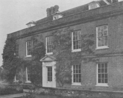
Hare Street House

Hare Street House is a Grade II* listed building in the hamlet of Hare Street that lies between Buntingford and Great Hormead in the East Hertfordshire...

Nuthampstead

Nuthampstead is a small village and civil parish in North East Hertfordshire located a few miles south of the town of Royston. In the 2001 census the parish...

Hormead

Hormead is a civil parish in Hertfordshire, England. It comprises the villages of Great Hormead and Little Hormead and the hamlet of Hare Street and lies...

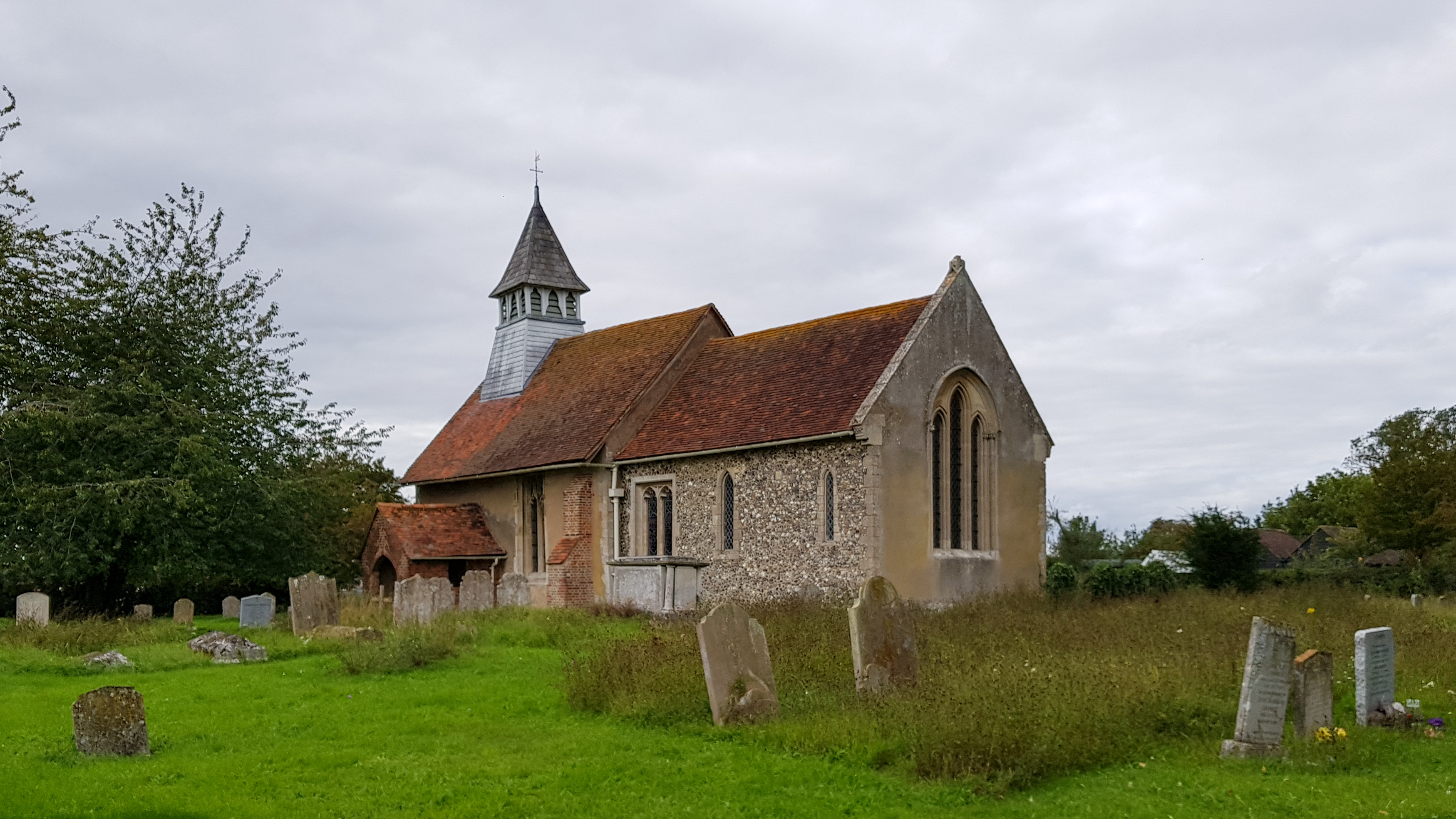
St Mary's Church, Little Hormead

St Mary's Church is a redundant Anglican church in the village of Little Hormead, Hertfordshire, England. It is recorded in the National Heritage List...

Wyddial

Wyddial is a village and civil parish in the East Hertfordshire district of Hertfordshire, England. It is located around a mile and a half north-east of...

Little Hormead

Little Hormead is a village and former civil parish in the English county of Hertfordshire. It is a few miles away from the small town of Buntingford and...

Nearby Amenities

Located within 500m of 51.970894,0.031108064
New Barns Turn
Naptan AtcoCode: 210021302856
Naptan Bearing: NE
Naptan BusStopType: CUS
Naptan CommonName: New Barns Turn
Naptan Crossing: opp New Barns Turn
Naptan Indicator: opp
Naptan Landmark: opp New Barns Turn
Naptan NaptanCode: hrtdtpgt
Naptan ShortCommonName: NA
Naptan Street: Barkway Road
Naptan Verified: no
Public Transport: platform
Source: naptan_import
Lat/Long: 51.9717466/0.0344044
New Barns Turn
Naptan AtcoCode: 210021310116
Naptan Bearing: SW
Naptan BusStopType: CUS
Naptan CommonName: New Barns Turn
Naptan Crossing: New Barns Turn
Naptan Indicator: adj
Naptan Landmark: New Barns Turn
Naptan NaptanCode: hrtdpgam
Naptan ShortCommonName: NA
Naptan Street: Lincoln Hill
Naptan Verified: no
Public Transport: platform
Source: naptan_import
Lat/Long: 51.9717311/0.0347822
Lincoln Hill
Place: locality
Lat/Long: 51.9715475/0.035829
The data included in this document is from www.openstreetmap.org. The data is made available under ODbL.

Have you been to Lincoln Hill?

Leave your review of Lincoln Hill below (or comments, questions and feedback).