Barrington Hill
Hill, Mountain in Cambridgeshire South Cambridgeshire
England
Barrington Hill
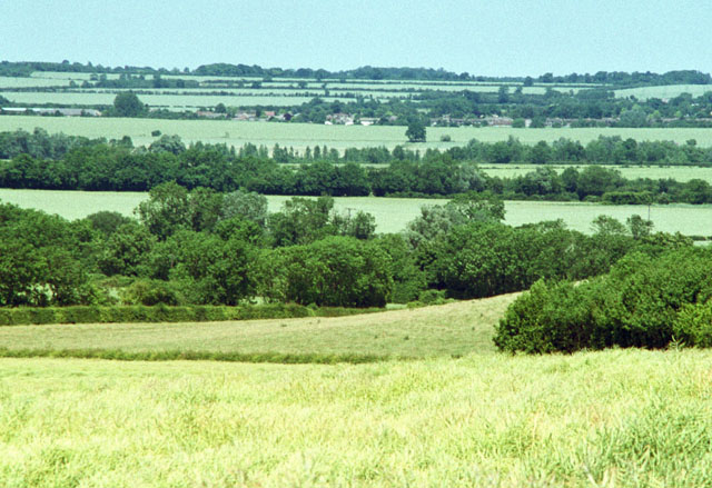
Barrington Hill, located in Cambridgeshire, England, is a prominent geographical feature that stands at an elevation of approximately 76 meters above sea level. While commonly referred to as a hill, it is more accurately classified as a gentle slope or rise in the landscape rather than a mountain. Nonetheless, its distinct topography makes it a notable landmark in the region.
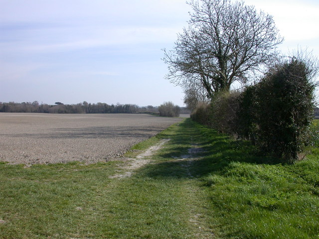
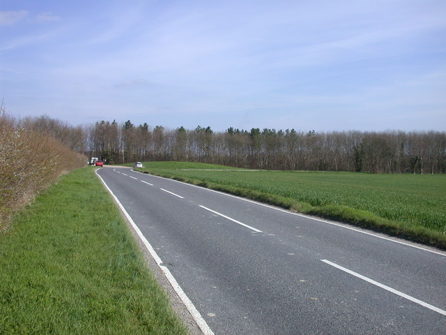
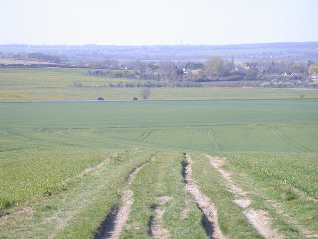
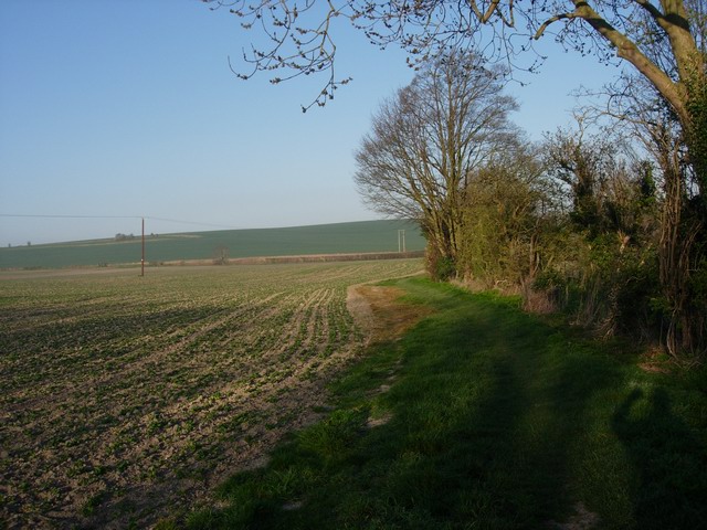
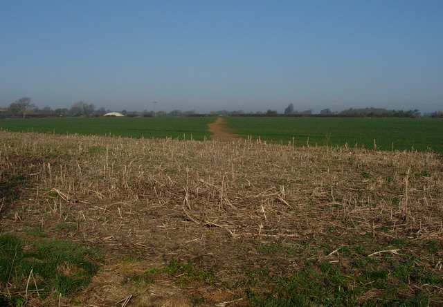
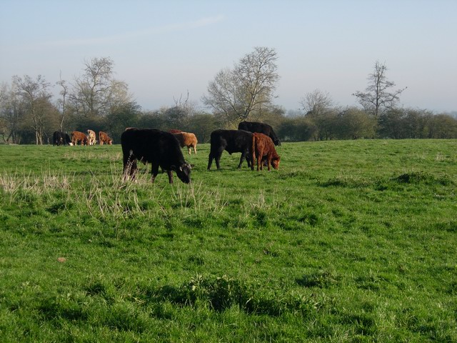
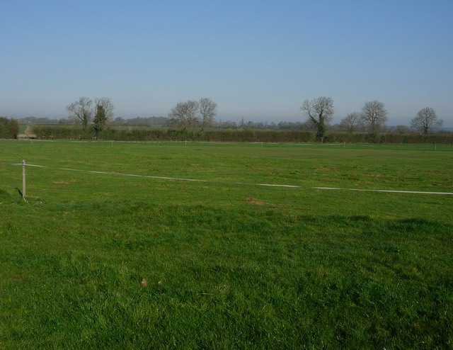
Situated near the village of Barrington, Barrington Hill offers breathtaking panoramic views of the surrounding countryside. The hill's location within the Cambridgeshire countryside provides visitors with an opportunity to explore the beauty of the region's rural landscapes. The area surrounding the hill is predominantly agricultural, with rolling fields and farmland extending as far as the eye can see.
Barrington Hill is a popular destination for outdoor enthusiasts, hikers, and nature lovers. The hill's gentle gradient makes it easily accessible, offering visitors of varying fitness levels the chance to enjoy its scenic vistas. The area is also home to a variety of wildlife, including birds, rabbits, and foxes, making it an ideal spot for birdwatching and wildlife observation.
Historically, Barrington Hill has played a significant role in the local community. It has been used for recreational purposes for centuries, with residents and visitors alike enjoying leisurely walks and picnics on its slopes. The hill's historical and cultural value is further enhanced by the presence of ancient burial mounds and earthworks, which provide evidence of human habitation in the area dating back thousands of years.
In summary, Barrington Hill in Cambridgeshire is a picturesque and accessible natural feature that offers visitors stunning views of the surrounding countryside. Its historical significance and diverse wildlife make it a popular destination for outdoor activities and nature enthusiasts.
If you have any feedback on the listing, please let us know in the comments section below.
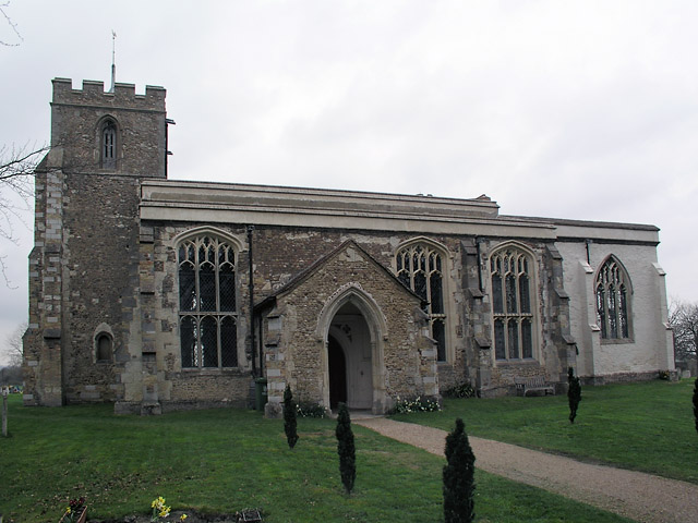
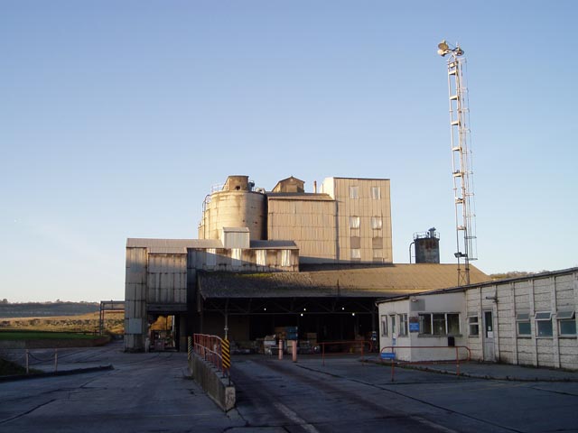
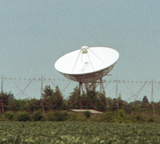
Barrington Hill Images
Images are sourced within 2km of 52.149404/0.035729588 or Grid Reference TL3952. Thanks to Geograph Open Source API. All images are credited.
Barrington Hill is located at Grid Ref: TL3952 (Lat: 52.149404, Lng: 0.035729588)
Administrative County: Cambridgeshire
District: South Cambridgeshire
Police Authority: Cambridgeshire
What 3 Words
///flickers.sparks.pencil. Near Haslingfield, Cambridgeshire
Nearby Locations
Related Wikis

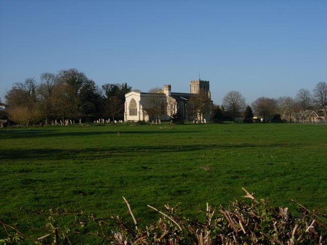
Harlton
Harlton is a village and civil parish in Cambridgeshire in the United Kingdom. The village is 5 miles (8.0 km) south-west of Cambridge and neighbours Haslingfield...

Eversden and Wimpole Woods
Eversden and Wimpole Woods is a 67.1-hectare (166-acre) biological Site of Special Scientific Interest between Kingston and Orwell in Cambridgeshire. The...

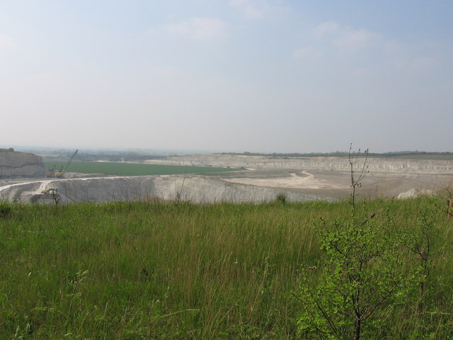
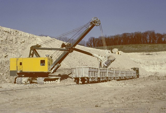
Barrington Chalk Pit
Barrington Chalk Pit is a 97.1-hectare (240-acre) geological Site of Special Scientific Interest near Barrington in Cambridgeshire. It is a Geological...
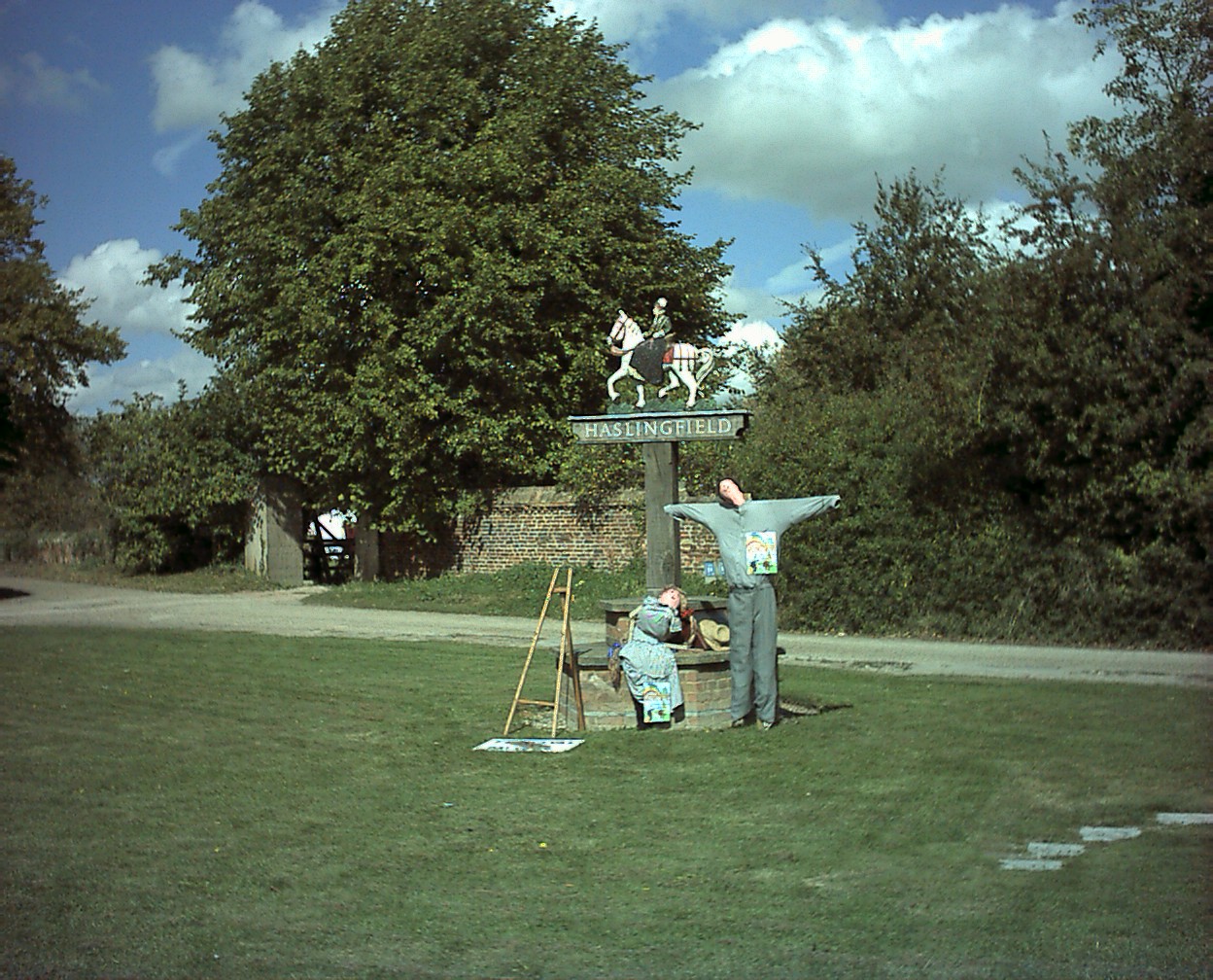
Haslingfield
Haslingfield is a village and civil parish in South Cambridgeshire, England. The village is about six miles south-west of Cambridge, between Harston, Barton...

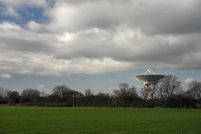
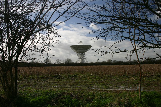
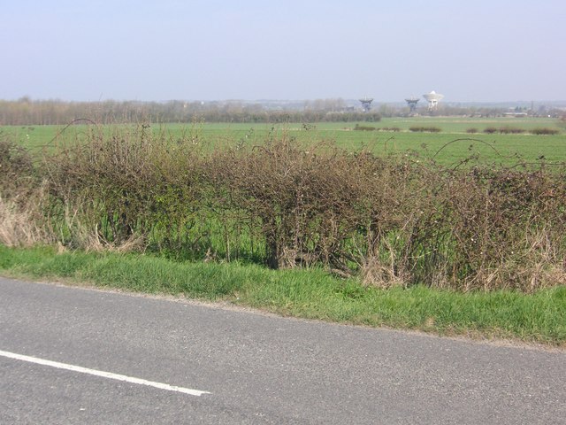
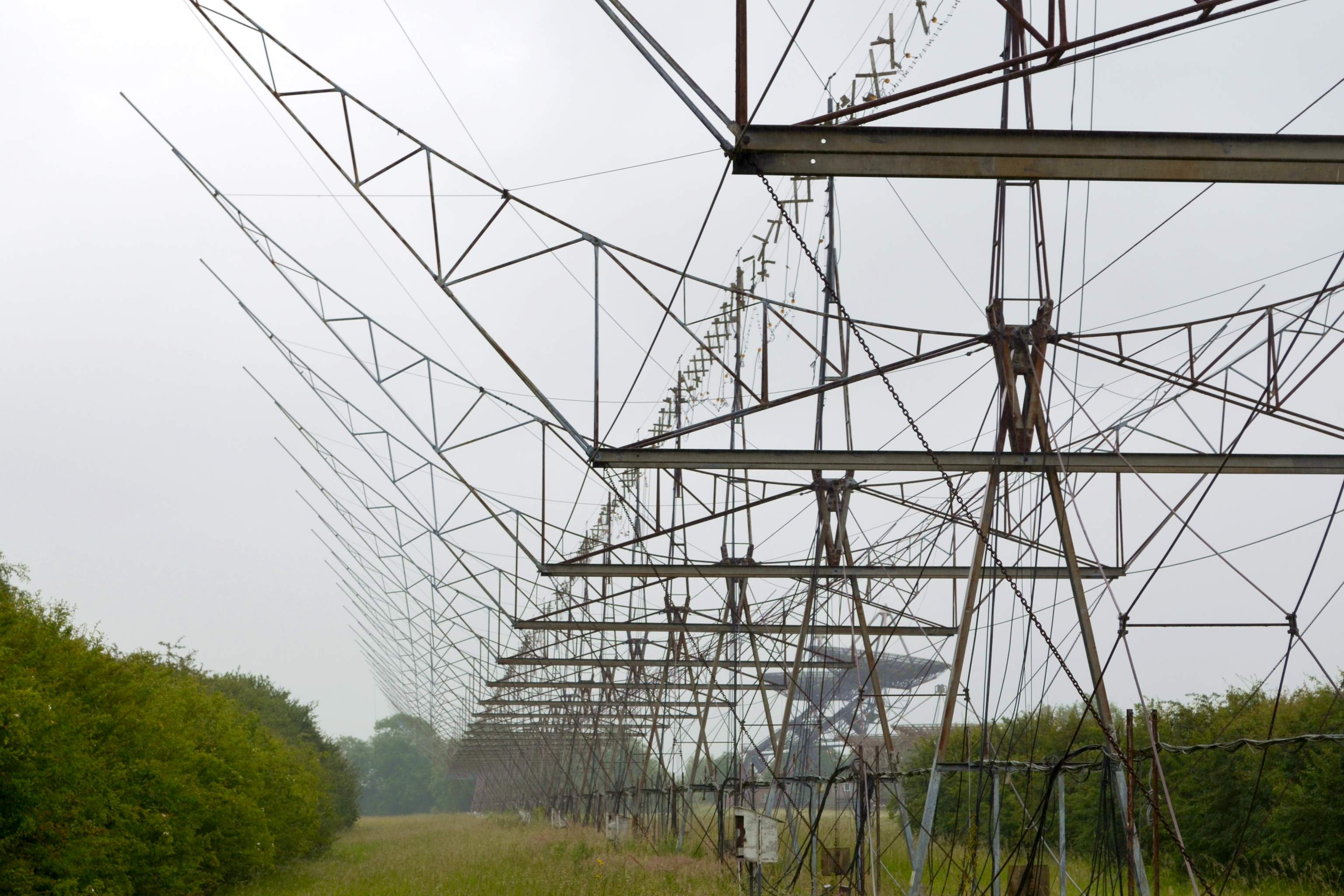
Interplanetary Scintillation Array
The Interplanetary Scintillation Array (also known as the IPS Array or Pulsar Array) is a radio telescope that was built in 1967 at the Mullard Radio Astronomy...

One-Mile Telescope
The One-Mile Telescope at the Mullard Radio Astronomy Observatory (MRAO), Cambridge, UK is an array of radio telescopes (two fixed and one moveable, fully...
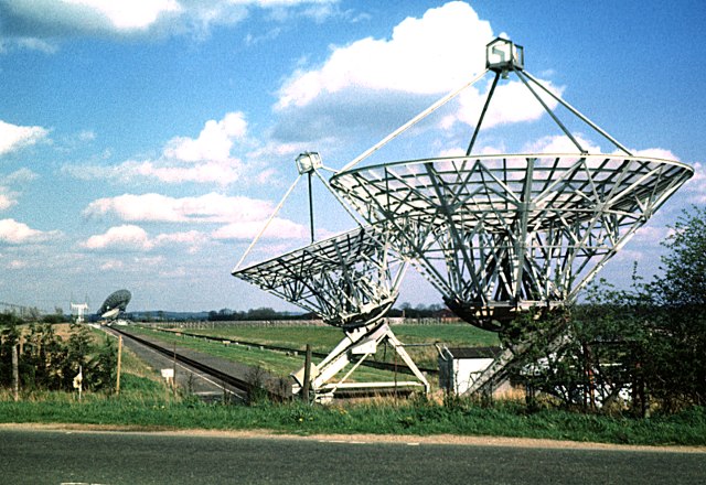
Half-Mile Telescope
The Half-Mile Telescope was constructed in 1968 (2 aerials) at the Mullard Radio Astronomy Observatory with two more aerials being added in 1972, using...
4C Array
The 4C Array is a cylindrical paraboloid radio telescope at the Mullard Radio Astronomy Observatory, near Cambridge, England. It is similar in design to...
Nearby Amenities
Located within 500m of 52.149404,0.035729588Have you been to Barrington Hill?
Leave your review of Barrington Hill below (or comments, questions and feedback).