Botley Hill
Hill, Mountain in Surrey Tandridge
England
Botley Hill
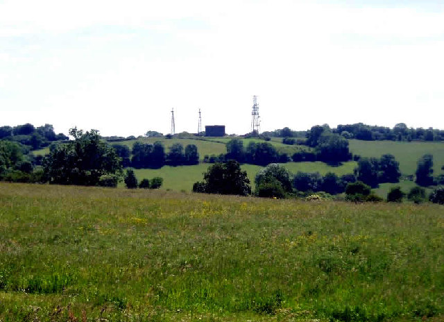
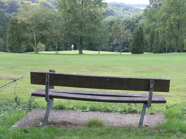
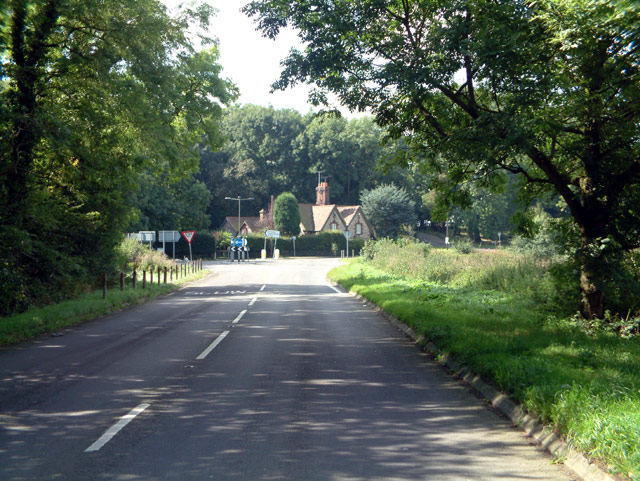
Botley Hill is a prominent hill located in Surrey, England. Situated within the North Downs, it is part of the larger Surrey Hills Area of Outstanding Natural Beauty. With an elevation of approximately 269 meters (883 feet), Botley Hill offers stunning panoramic views of the surrounding landscape.
The hill is covered in lush greenery, featuring a variety of plant species, including heather, gorse, and wildflowers. It is a popular destination for hikers, nature enthusiasts, and photographers, who are drawn to its picturesque beauty and tranquil atmosphere.
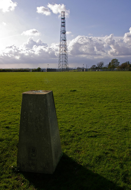
At the summit of Botley Hill, visitors can find a trig point, which serves as a marker for Ordnance Survey mapping. This spot offers breathtaking vistas of the rolling hills, valleys, and woodlands that stretch across the Surrey countryside. On clear days, it is even possible to see as far as the South Downs and the distant London skyline.
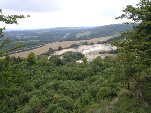
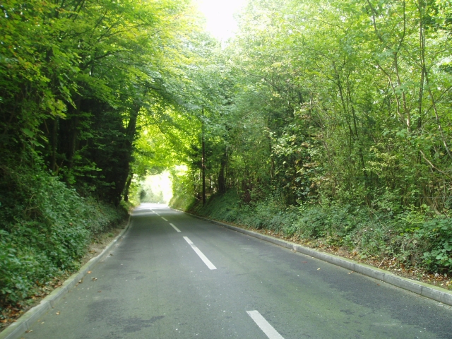
Botley Hill is surrounded by a network of walking trails, allowing visitors to explore the area further. The North Downs Way, a long-distance footpath that runs from Farnham to Dover, passes through the hill, providing opportunities for longer hikes and exploration.
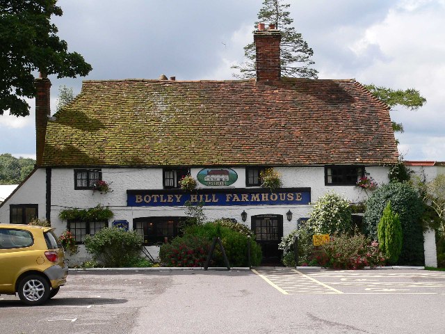
In addition to its natural beauty, Botley Hill is also home to a quaint country pub, offering a warm and welcoming atmosphere for locals and tourists alike. The pub serves a range of delicious food and drinks, providing a perfect spot to relax and refuel after a day of exploring the hill and its surroundings.
Overall, Botley Hill in Surrey is a breathtaking natural gem, offering stunning views, serene landscapes, and a touch of rustic charm.
If you have any feedback on the listing, please let us know in the comments section below.
Botley Hill Images
Images are sourced within 2km of 51.276659/-0.005483695 or Grid Reference TQ3954. Thanks to Geograph Open Source API. All images are credited.


Botley Hill is located at Grid Ref: TQ3954 (Lat: 51.276659, Lng: -0.005483695)
Administrative County: Surrey
District: Tandridge
Police Authority: Surrey
What 3 Words
///shares.glare.glaze. Near Oxted, Surrey
Nearby Locations
Related Wikis
Titsey
Titsey is a rural village and a civil parish on the North Downs almost wholly within the M25 London Orbital Motorway in the Tandridge District of Surrey...
Botley Hill
Botley Hill is a hill in Surrey and is the highest point of the North Downs, with a height of 269.6 metres (885 ft). The Prime Meridian crosses the hill...
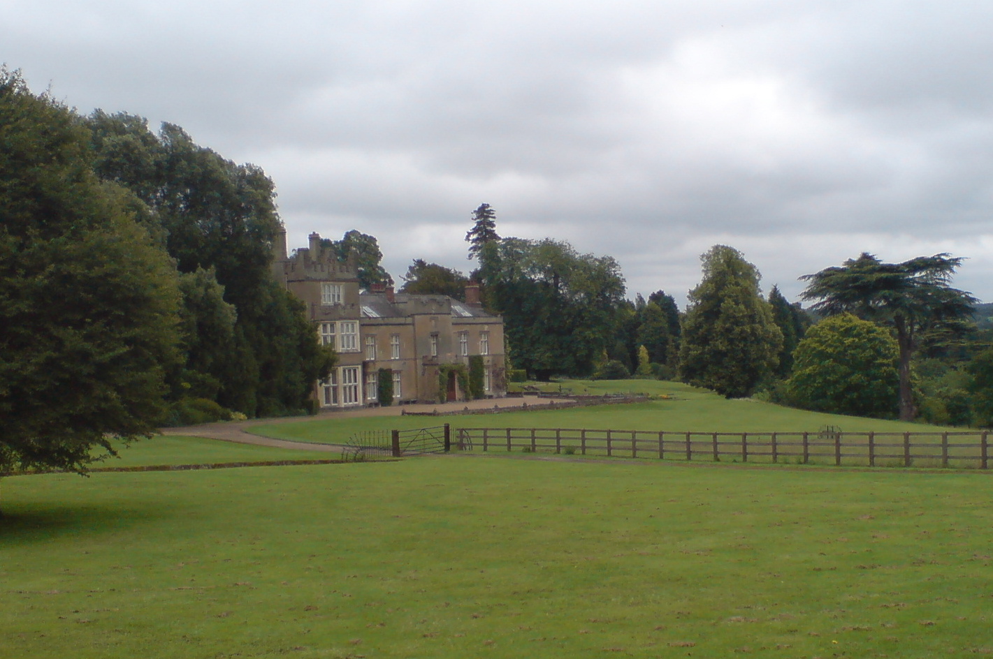
Titsey Place
Titsey Place is an English country house near Oxted in Surrey, England. It was successively the seat of the Gresham and Leveson-Gower families and is now...

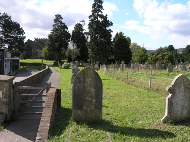
All Saints Church, Oxted
All Saints Church is a Roman Catholic Parish church in Oxted, Surrey. Building work on the church started in 1913 and was delayed by World War I. Aspects...

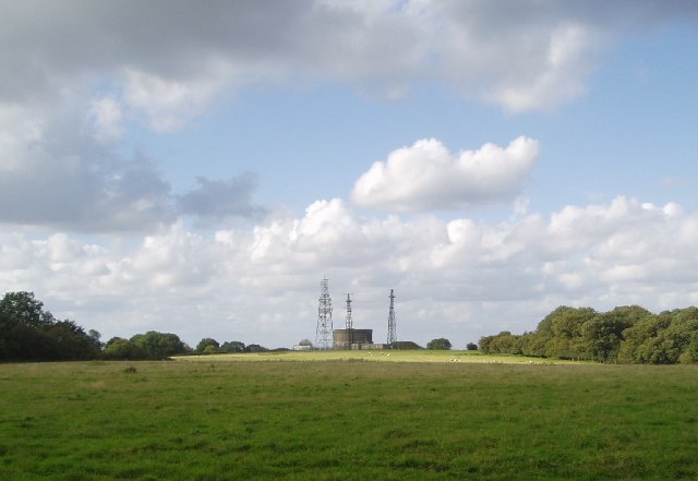
Tatsfield Receiving Station
The Tatsfield Receiving Station – known formally as the BBC Engineering Measurement and Receiving Station – was a radio broadcasting signals-receiving...

Oxted School
Oxted School is a coeducational secondary school and sixth form located in the English town of Oxted, Surrey. It was opened in 1929 as the first mixed...
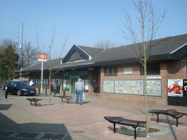
Oxted railway station
Oxted railway station is on the Oxted line in southern England, serving the commuter town of Oxted, Surrey. It is 20 miles 25 chains (20.31 miles, 32.69...

Church of St Peter, Limpsfield
The Anglican Church of St Peter in Limpsfield, Surrey, England dates from the 12th century. It is a Grade I listed building. It is known for the number...
Nearby Amenities
Located within 500m of 51.276659,-0.005483695Have you been to Botley Hill?
Leave your review of Botley Hill below (or comments, questions and feedback).